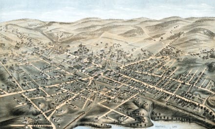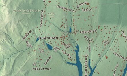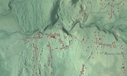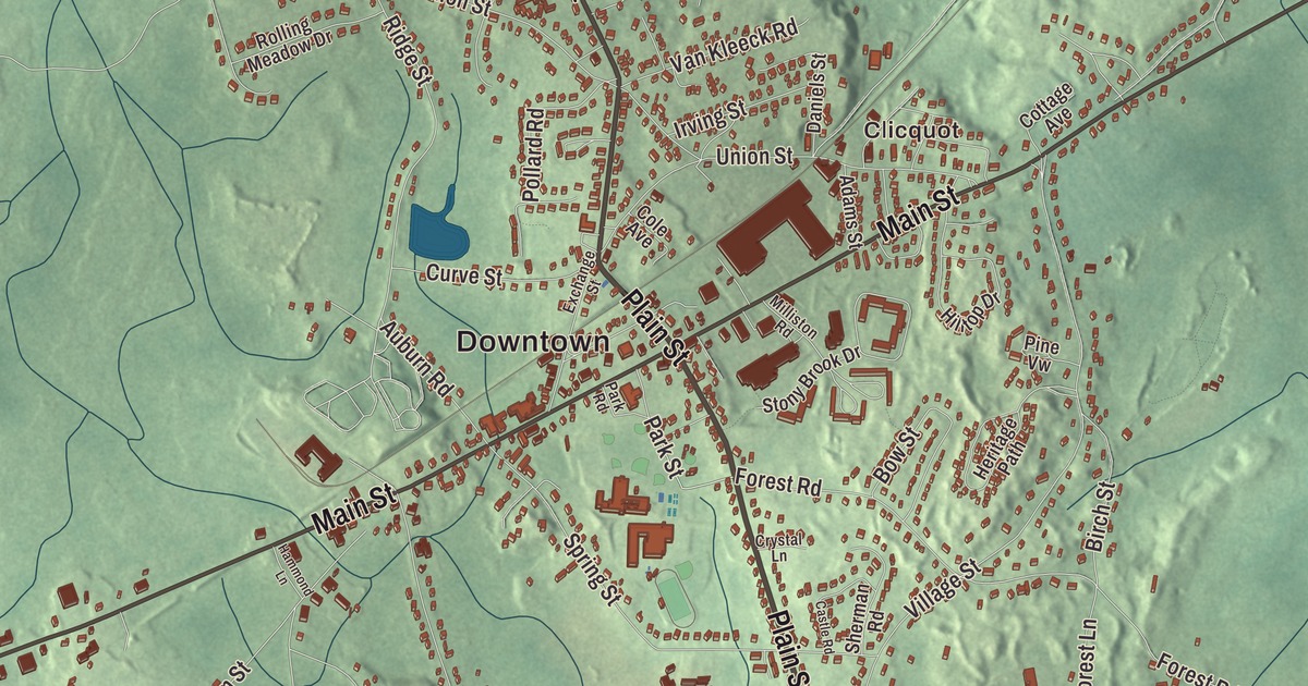
Millis carries the name of its founder, the railroad man Lansing Millis, and its village of Clicquot carries the name of the ginger ale company his son started on Main Street. This map prints Main Street, Exchange Street, Plain Street, Orchard Street, Norfolk Road and Dover Road, with South End Pond, Bogastow Pond, Populatic Pond and Indian Hill. Click here to purchase a print of this map for your wall.
Millis is in Norfolk County.
KNOWOL made this map in 2026 from public survey data, laid out in the manner of an old town atlas. United States Geological Survey elevation data gives the land its relief, and the Census Bureau supplied the streets and the town line. Millis lies about 19 miles southwest of downtown Boston, bordered by Norfolk, Sherborn, Holliston, Medfield and Medway. It covers 12.3 square miles and had 8,460 people at the 2020 census. The Charles River runs through town, and Bogastow Brook, named for the Native people who once lived here, comes in from East Holliston and empties into South End Pond. The Great Black Swamp, covering hundreds of acres, separates Millis from Medway.
East Medway
The land of Millis first belonged to Dedham, which granted it, along with land for several of today’s neighboring towns, to Medfield in 1651. The Town of Millis’ recorded history, in the Secretary of the Commonwealth’s list, dates European settlement to 1657. In 1713 Medfield settlers won a grant for a new town and called it Medway, with a west part that’s now Medway and an east part that’s now Millis. Richardson’s Tavern, built around 1720, served George Washington lunch in 1775 on his way to Cambridge. The Hartford and Dedham Turnpike, built in 1806 and now Route 109, tied the town straight to Dedham and Boston, and the town page calls the swamp a significant factor in the split between the two halves of Medway. Millis was incorporated as a town in 1885, on February 24, through the work of Lansing Millis, a railroad entrepreneur who built up the rail lines here. The town remains part of Norfolk County today.
Ginger ale, boots and bricks
Lansing Millis’s son Henry started the Clicquot Club company with money from his father. It stood on Main Street, gave its name to the village of Clicquot, and, by the town page’s account, sold the first brand of ginger ale in the United States for about eighty years and was the first company in the nation to put drinks in cans. At its height it owned more than 100 factories and sold its sodas abroad, until falling sales in the 1960s ended in bankruptcy. The Herman Shoe Company made boots for the Spanish-American War and most of the boots American troops wore in World War II; its old factory came down in March 2020. Earlier the Holbrook works made bells, organs and organ pipes, and along Causeway Street clay pits fed brickyards whose bricks built many large estates. One old clay pit is now Heather’s Pond, and sand from the pits went to fill the newest runway at Logan International Airport.
Christian Herter, governor of Massachusetts and Secretary of State under President Eisenhower, lived on a large farm on Causeway Street, and he’s buried in Prospect Hill Cemetery on Auburn Road. Founded in 1714, it’s the town’s only cemetery, with the site of the first Millis meetinghouse at the top of the hill and the grave of Charles Wesley Emerson, founder of Emerson College; it joined the National Register in 2006. The mathematician Haskell Curry was born in Millis on September 12, 1900, and the programming language Haskell and the idea of currying are named for him. John Kerry lived at 359 Orchard Street until he was seven, and in 2004 CBS Sunday Morning featured Millis as his hometown.
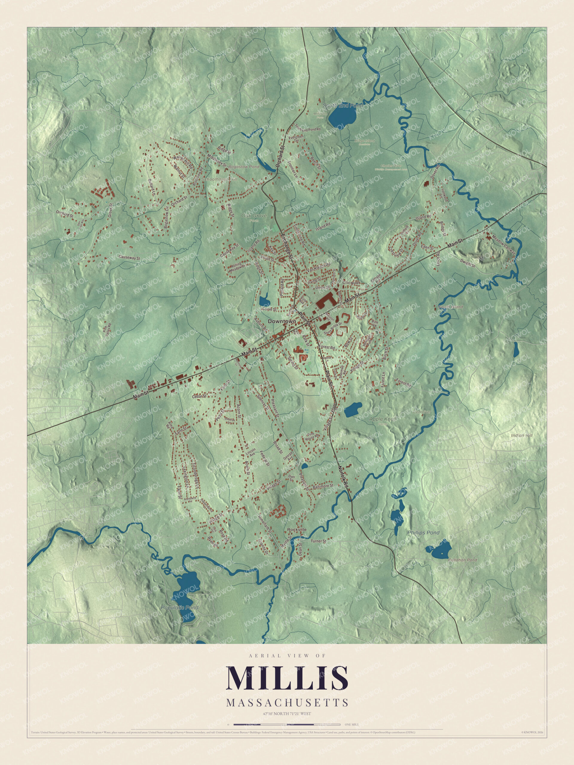
Click to explore a larger preview. The digital watermark does not appear on printed maps.
Names on this map
These names are printed on this map.
Places: Downtown, Rockville, Clicquot, Indian Hill, Schoolhouse Hill, South Island, Bogastow Pond, Callahan Pond, Populatic Pond, South End Pond, Phillips Pond, Apple Knoll Farm, Bridge Island Meadows, Cedariver, Charles River Wildlife Management Area, Millborn Farm and Oak Grove Farm.
Streets and roads: Plain Street, Norfolk Road, Exchange Street, Orchard Street, Main Street, Dover Road, Middlesex Street, Dwight Street, Park Street, Village Street, Ridge Street, Island Road.
More street names, A to Z
Acorn Street, Adams Street, Alma Road, Auburn Road, Baltimore Street, Beech Street, Birch Street, Bogastow Circle, Bow Street, Brandywine Terrace, Bridge Street, Broad Street, Brookview Road, Bullard Lane, Castle Road, Causeway Street, Cedar Street, Cole Avenue, Cottage Avenue, Crestview Drive, Crystal Lane, Curve Street, Daniels Street, Dean Street, Deborah Lane, Dyer Street, Eden Street, Evergreen Terrace, Farm Street, Federal Street, Forest Lane, Forest Road, Frontier Lane, George Avenue, Glen Pines Way, Granite Drive, Grove Street, Hammond Lane, Heritage Path, Hilltop Drive, Himelfarb Street, Independence Lane, Ironwood Lane, Irving Street, Key Street, Klifford Circle, Larch Road, Lexington Lane, Lincoln Avenue, Meadow Cartway, Milliston Road, Myrtle Street, Park Road, Pearl Street, Pine House Road, Pine Valley Road, Pine Vw, Pleasant Street, Pollard Road, Rolling Meadow Drive, Rose Road, Ryan Road, Sherman Road, South End Pond Road, Spencer Street, Spring Street, Stony Brook Drive, Tara Terrace, Ticonderoga Lane, Timberline Road, Turner Street, Union Street, Van Kleeck Road, Walnut Hill Road, Walnut Street.
See it on a wall
The Millis map as a framed print. Swipe for more.


Around the map
Start with Rockville. Follow Plain Street, Norfolk Road, Exchange Street, Orchard Street, Main Street and Dover Road across town. Then look outward toward Clicquot. Bogastow Pond, Callahan Pond, Populatic Pond, South End Pond, Indian Hill, Schoolhouse Hill and South Island are all printed on the map, each name placed straight onto the artwork. Orchard Street is where the Kerry family once lived, and South End Pond is where Bogastow Brook ends.
The Millis map makes a fine addition to an office, library or den, and it can help teach children the geography and history of a small town on the Charles. It’s made for people who call Millis home, from Rockville to Clicquot, and it shows the town as it looks today. Zoom in on the preview above to explore the details, then click here to get your copy of the Millis, Massachusetts map.

Sources