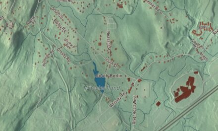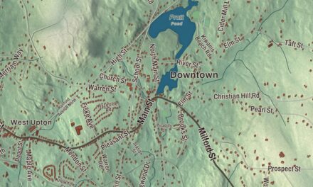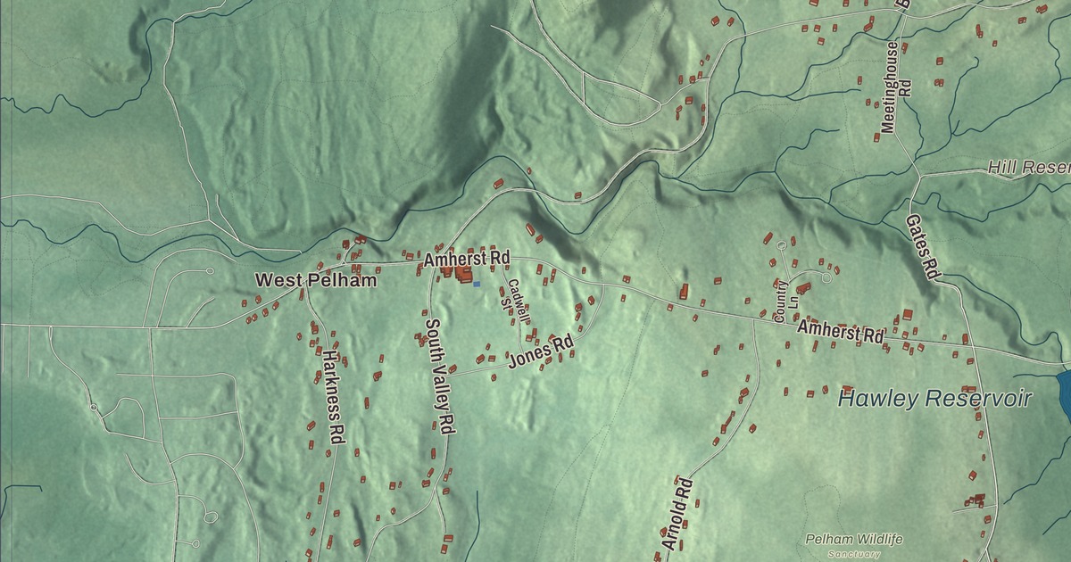
In Pelham the h is silent. This map prints the Daniel Shays Highway, named for the rebellion leader who once lived in town, along with Enfield Road, Gulf Road, Packardville Road, Gates Road and Buffam Road, and the water of Knights Pond, Hill Reservoir and Hawley Reservoir. Click here to purchase a print of this map for your wall.
Pelham is in Hampshire County.
KNOWOL made this map in 2026 from public survey data and gave it the look of an old atlas. The ridges come from United States Geological Survey elevation data, and the roads and the town line come from the Census Bureau. Pelham sits on the hills that divide the Pioneer Valley along the Connecticut River from the Quabbin valley, and its brooks run both ways: the eastern third of town drains toward the Quabbin Reservoir, the rest toward the Connecticut. Its eastern line follows the old path of the West Branch of the Swift River, now under the reservoir. The town covers 26.5 square miles and had 1,280 people at the 2020 census.
The Lisburn Proprietors
Pelham was part of the Equivalent Lands compromise. In 1738 the land was bought by the Lisburn Proprietors, Scotch-Irish immigrants, most of them Presbyterians. The Town of Pelham’s recorded history dates European settlement to 1738. The next year they laid out a 10-acre lot for a meeting house, a town pound, a training field and a cemetery; the cemetery dates from 1739. The town is named for the Pelham family, and Henry Pelham was the British Prime Minister when the town was incorporated. Pelham was incorporated as a town in 1743. The town remains part of Hampshire County today.
The meeting house went up on that lot in 1743 and served for both worship and town business until the state separated church and state in 1833. It’s still the town hall, and the town claims it as the oldest continuously used town hall in the United States; a town meeting is held there each year to keep that going. Beside it stands a Greek Revival church, now home to the local historical society, and together with the old cemetery they make up the Pelham Town Hall Historic District, listed on the National Register in 1971.
Daniel Shays
Daniel Shays fought at Bunker Hill, was made a second lieutenant for his bravery there, and later commanded a company under the Marquis de Lafayette, who presented him with an ornamental sword in 1780. He lived on Prescott Hill, then part of Pelham. In 1786 and 1787 he led Shays’ Rebellion, protests by farmers against crushing austerity measures in Massachusetts. It was planned in Conkey’s Tavern in Pelham and drew support from many towns in central and western Massachusetts. Pelham’s town center was the last organized camp of the rebel forces; General Benjamin Lincoln’s army reached Pelham on February 2, 1787, and the farmers were dispersed at Petersham soon after. Shays was pardoned in 1788. The town later honored him by naming its stretch of U.S. Route 202 the Daniel Shays Highway.
Another Pelham family, from Scotland, raised Harvey Willson Harkness, a physician who made a fortune in Sacramento real estate and then spent the rest of his life studying natural science, especially fungi. He was president of the California Academy of Sciences from 1887 to 1896 and his collection of over 10,000 fungus specimens went to the Academy in 1891.
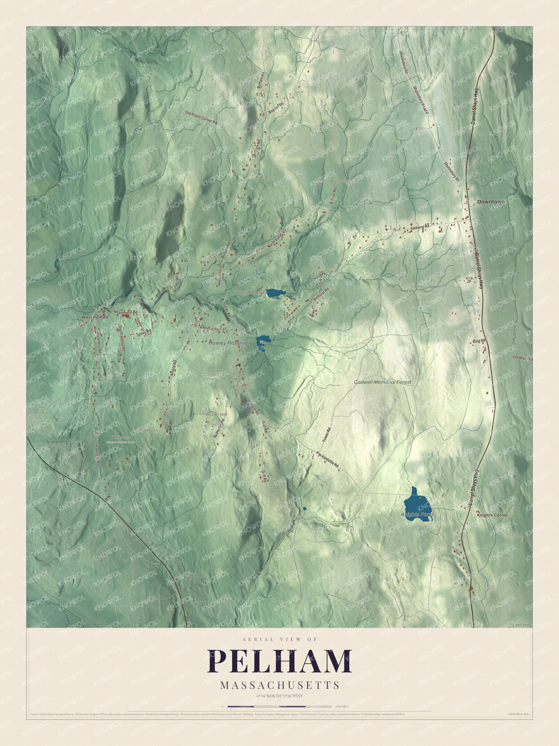
Click to explore a larger preview. The digital watermark does not appear on printed maps.
Names on this map
These names are printed on this map.
Places: Downtown, West Pelham, Knights Corner, Butter Hill, East Hill, Grey Rocks, Hill Reservoir, Knights Pond, Hawley Reservoir, Amherst Water Supply Land, Cadwell Memorial Forest, Harkness Conservation Area and Pelham Wildlife Sanctuary.
Streets and roads: Daniel Shays Highway, Enfield Road, Gulf Road, Packardville Road, Gates Road, Buffam Road, Amherst Road, North Valley Road, Harkness Road, Shutesbury Road, Shutesbury Road 2, Arnold Road.
More street names, A to Z
Boyden Road, Bray Court, Brewer Road, Butterhill Road, Cadwell Street, Cook Road, Country Lane, Jones Road, King Road, King Street, Meetinghouse Road, Old Pratts Corner Road, Old Ward Road, Pine Tree Circle, South Valley Road, Tower Road.
Around the map
Start with West Pelham, then follow the Daniel Shays Highway, Enfield Road, Gulf Road, Packardville Road, Gates Road and Buffam Road across town. Then look outward toward Knights Corner. Hill Reservoir, Knights Pond, Hawley Reservoir, Cadwell Memorial Forest, Butter Hill, East Hill and Grey Rocks are all printed on the map. The Daniel Shays Highway is the town’s only highway, apart from a short piece of Route 9 in the southwest corner, and it opened in 1935 to coincide with the completion of the Quabbin Reservoir. When the reservoir was built and the valley towns were disincorporated, Pelham gained a piece of Enfield, its southeast corner, roughly east of Caldwell Brook and Knights Corner. Much of the town is forested, and Cadwell Memorial Forest, the Buffam Falls Conservation Area and the Quabbin lands are protected.
The Pelham map makes a fine addition to an office, library or den, and it can help teach children the geography and history of the town where Shays’ Rebellion was planned. It’s made for people who call Pelham home, from West Pelham to the Quabbin shore, and it shows the town as it looks today. Zoom in on the preview above to explore the details, then click here to get your copy of the Pelham, Massachusetts map.

We made a map for every town and city in Massachusetts. Explore the complete Massachusetts map collection and find your town.
Sources