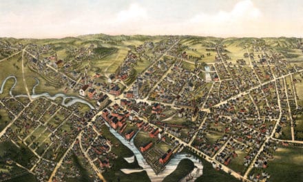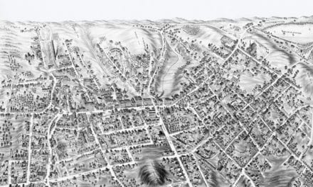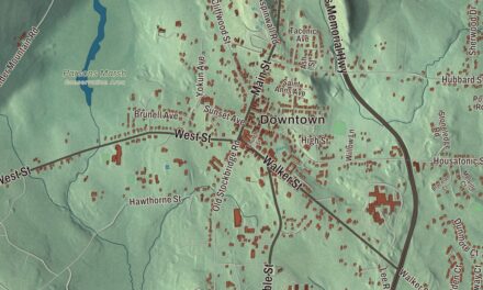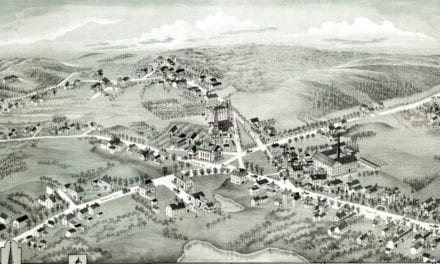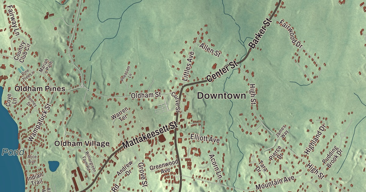
Herring, bog iron, ice and cranberries have all come out of Pembroke’s ponds at one time or another. This map prints Mattakeesett Street, Schoosett Street, Center Street, Barker Street, Maquan Street and School Street, and among the water it names Oldham Pond with Monument Island, Stump Pond, Bracketts Pond and Arnold Reservoir. Click here to purchase a print of this map for your wall.
Pembroke is in Plymouth County.
KNOWOL made this map in 2026 from public survey data and gave it the look of an old atlas. The land comes from United States Geological Survey elevation data, and the streets and the town line come from the Census Bureau. Pembroke lies about halfway between Boston and Cape Cod, and its land splits in two: the northern half is rivers and streams through thick woods, and the southern half is ponds and Silver Lake, where Pembroke, Kingston, Plympton and Halifax meet. The town covers 23.5 square miles and had 18,361 people at the 2020 census.
Mattakeesett
For thousands of years the Wampanoag and the Massachusett lived on this land, fishing and farming along the rivers. They called the area Mattakeesett, “place of much fish,” for the herring that ran up the local rivers every spring, the same name Mattakeesett Street carries today. The land became part of the Major’s Purchase, bought from Josias Wampatuck of the Massachusett by English investors. The first English settlers, Robert Barker and Dolor Davis, settled near Herring Brook in 1650. The Town of Pembroke’s recorded history dates European settlement to 1650. The area was part of Duxbury until it became its own town. Pembroke was incorporated as a town in 1712. The town remains part of Plymouth County today. It was named for Pembroke in Wales; the name Brookfield was turned down because a town in Worcester County already had it. The town took its present shape in 1820, when its western half, the West Parish, became the town of Hanson.
Robert Barker built the Pembroke Friends Meetinghouse in 1706, at what’s now Washington Street and Schoosett Street. It’s one of the oldest Quaker meetinghouses in the United States; inside, the room is divided in half, with women on one side and men on the other. Local Quakers met there until 1876, and the Pembroke Historical Society owns it today.
Herring, iron and ships
The town prized its herring so much that in 1741 it began regulating how they were taken and kept. The Pembroke Iron Works, started in 1720, used bog iron gathered from the bottoms of the ponds, swamps and bogs. Ice was cut from the ponds, and the ponds and streams turned grist, flour and saw mills. Because timber was close by and the town sat on the North River, early Pembroke was known for shipbuilding: five shipyards worked the river, and 1,025 vessels were built on its shores between 1678 and 1871. Among the vessels were the Beaver, known for its part in the Boston Tea Party, and the Maria, which appears on the town seal. Before the Revolution the Reverend Gad Hitchcock of Pembroke preached a sermon in Boston against the British, and Samuel Adams rewarded him with a set of fine new clothes.
Alexander Parris, born in Halifax, was apprenticed to a housewright in Pembroke at 16, went on to design Quincy Market in Boston and Pilgrim Hall in Plymouth, and is buried in Pembroke’s Briggs Burying Ground. Gleason Archer, who founded Suffolk University and its law school, spent his retirement in Pembroke farming blueberries and fishing.
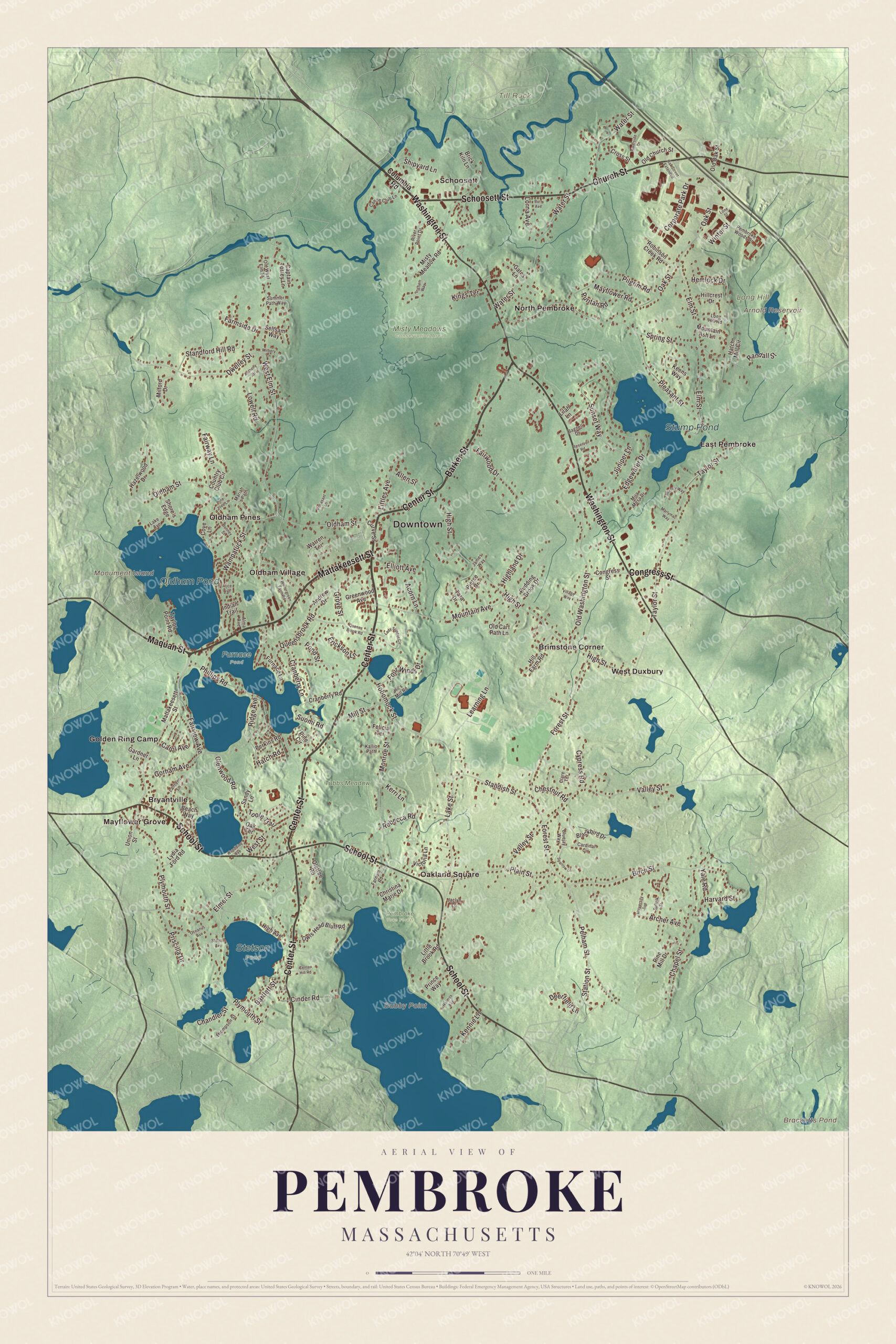
Click to explore a larger preview. The digital watermark does not appear on printed maps.
Names on this map
These names are printed on this map.
Places: Downtown, Dubby Point, Long Hill, Monument Island, Till Rock, Arnold Reservoir, Bracketts Pond, Oldham Pond, Stump Pond, Furnace Pond, Misty Meadows Conservation Area, Pembroke Town Forest, Stetson Pond, Tubbs Meadow, Brimstone Corner, Bryantville, East Pembroke, Golden Ring Camp, Mayflower Grove, North Pembroke, Oakland Square, Oldham Pines, Oldham Village, Schoosett and West Duxbury.
Streets and roads: Mattakeesett Street, Schoosett Street, Center Street, Barker Street, Maquan Street, School Street, Congress Street, Church Street, Washington Street, Queensbrook Road, Pelham Street, West Elm Street.
More street names, A to Z
Acorn Lane, Alice Avenue, Allen Street, Alma Avenue, Andrew Drive, Anthony Drive, Archer Avenue, Bagnell Drive, Bartlett Street, Beach Way, Beverly Way, Birch Street, Blackbird Drive, Bluejay Way, Bonney Street, Brick Kiln Lane, Burr Avenue, Canoe Club Lane, Captain Torrey Lane, Cardinal Circle, Carol Avenue, Center Hill Road, Chandler Street, Chapel Street, Chestnut Road, Christina Marie Drive, Cinder Road, Clare Terrace, Columbia Road, Corporate Park Drive, Country Club Circle, Cove Lane, Cranberry Lane, Cranberry Road, Cross Street, Curve Street, Cypress Road, Deerfield Lane, Dwelley Street, Edgewater Drive, Elliott Avenue, Elmer Street, Elm Street, Erickson Lane, Fairview Avenue, Fairway Lane, Fairwood Drive, Farmside Drive, Farnum Road, Felicia Terrace, Forest Street, Four Winds Drive, Furnace Lane, Gardner Lane, Gates Lane, Glenwood Road, Gorham Avenue, Greenwood Avenue, Grove Street, Harvard Street, Hatch Mill Circle, Hatch Road, Hazelwood Drive, Hemlock Drive, High Avenue, Highland Drive, High Street, Hil's Mill Road, Hillcrest Drive, Hill Farm Road, Hobomock Street, Holmes Avenue, Indian Trail, Ingham Way, Jaclyn Lane, James Way, Juniper Lane, Kallio Path, Keens Way, Kennie Lane, Kerri Lane, Kings Terrace, Lady Slipper Circle, Lake Avenue, Lake Street, Lantern Lane, Learning Lane, Lilah Lane, Little Brook Road, Littles Avenue, Lone Street, Long Hill Road, Lorna Avenue, Lowell Road, Lydia Ford Road, Mariah 's Path, Marlymac Way, Mayflower Road, Milbery Lane, Milford Drive, Mill Street, Mira Mesa Drive, Misty Meadow Road, Monroe Street, Mountain Ash Lane, Mountain Avenue, Oak Street, Oak Street Extended, Oak Terrace, Oceanus Avenue, Old Cart Path Lane, Old Church Street, Oldham Street, Old Oak Street, Old Washington Street, Old West Elm Street, Oletree Road, Owls Head Bluff Road, Pembroke Woods Drive, Perkins Road, Pheasant Lane, Phillips Road, Pierce Drive, Pilgrim Road, Pine Circle, Pine Mill Drive, Pine Tree Lane, Plain Street, Pleasant Street, Plymouth Street, Pond Street, Prince Way, Priscilla Drive, Pudding Brook Drive, Puritan Road, Queens Brook Road, Randall Street, Rebecca Road, Reservoir Road, Ridge Avenue, River Point Drive, Riverside Drive, Robinson Creek Road, Sandy Lane, Seltsam Way, Shipyard Lane, Shore's Edge, Sparrow Lane, Spring Street, Standford Hill Road, Standish Street, Station Street, Stetson Avenue, Suffolk Street, Summer Path Way, Sunset Way, Suomi Road, Tara Drive, Taylor Point Road, Taylor Street, Thompson Street, Toole Trail, Union Street, University Avenue, Valley Street, Victoria Lane, Village Way, Wampatuck Street, Warren Terrace, Water Street, West Street, Wintergreen Farm Road, Winter Street, Woodbine Avenue, Yale Road.
See it on a wall
The Pembroke map as a framed print. Swipe for more.


Around the map
Start with Brimstone Corner, then follow Mattakeesett Street, Schoosett Street, Center Street, Barker Street, Maquan Street and School Street across town. Then look outward toward Bryantville, East Pembroke, Mayflower Grove, North Pembroke and Oakland Square. Arnold Reservoir, Bracketts Pond, Oldham Pond, Stump Pond, Tubbs Meadow, Long Hill, Till Rock and Monument Island are all printed on the map. Barker Street is Route 14, and each spring the Historical Society’s Grand Old Fish Fry is held at the Thomas Reading Herring Run Park on Barker Street. Oldham Pond covers 232 acres in Pembroke and Hanson, and Monument Island is the largest of its three islands. In the early 1900s cranberry bogs spread across town, and by 1924, 14 of the 17 cranberry growers in the Pembroke directory had Bryantville addresses. Trolleys from Brockton helped make Mayflower Grove in Bryantville a popular summer spot, and cottage colonies grew up along the pond shores. Tubbs Meadow Brook flows into Silver Lake, the principal water supply for Brockton, which was called Jones River Pond until it was renamed in the 1800s to sell more of its ice.
The Pembroke map makes a fine addition to an office, library or den, and it can help teach children the geography and history of a South Shore town of ponds, herring and shipyards. It’s made for people who call Pembroke home, from North Pembroke to Silver Lake, and it shows the town as it looks today. Zoom in on the preview above to explore the details, then click here to get your copy of the Pembroke, Massachusetts map.

Sources
- Pembroke, Massachusetts, Wikipedia
- Pembroke Friends Meetinghouse, Wikipedia
- Alexander Parris, Wikipedia
- Gleason Archer Sr., Wikipedia
- Oldham Pond (Massachusetts), Wikipedia
- Silver Lake (Plymouth County, Massachusetts), Wikipedia
- City and Town Incorporation and Settlement Dates, Secretary of the Commonwealth of Massachusetts (archived copy)