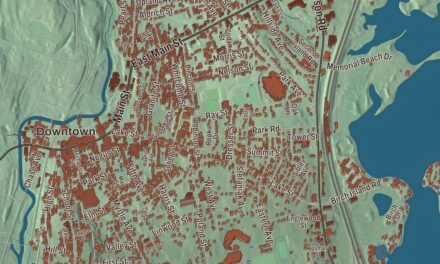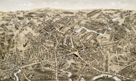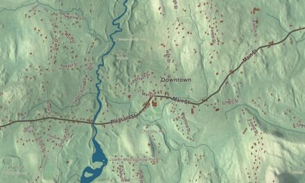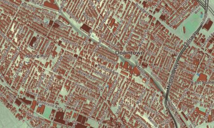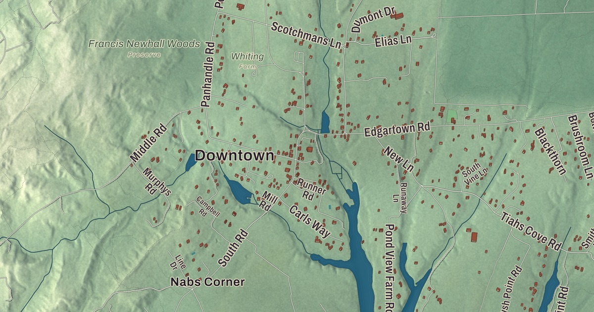
This aerial map of West Tisbury, Massachusetts was created in 2026 using real geographic data to bring the town’s streets, buildings, neighborhoods, ponds and waterways, parks, mountains and ridgelines, and terrain together in one highly detailed view. Look closer and you can pick out the familiar places that make West Tisbury feel like home. Start with the street you know, then see how it connects to the rest of the West Tisbury you call home. Click here to purchase a print of this map for your wall.
Explore an aerial view of West Tisbury, Massachusetts
Start with Downtown and Makonikey. Follow Doctor Fisher Road, Elias Lane, Tiahs Cove Road, Scotchmans Lane, Bradley Martin Road, and Fire Road across town. Then look outward toward Longview, Lamberts Cove, Christian Town, Nabs Corner, and North Tisbury.
Chilmark Pond, Crocker Pond, Tisbury Great Pond, Lake Tashmoo, Francis Newhall Woods, Long Point Wildlife Refuge, and Abel Hill are all labeled on the map. Every one of those names is printed directly on the artwork, giving you plenty to explore.
The Town of West Tisbury’s recorded history dates European settlement to 1669. West Tisbury was incorporated as a town in 1892. The town remains part of Dukes County today. Click the image below to see the area as it looked in 2026.
Take a closer look at the West Tisbury map
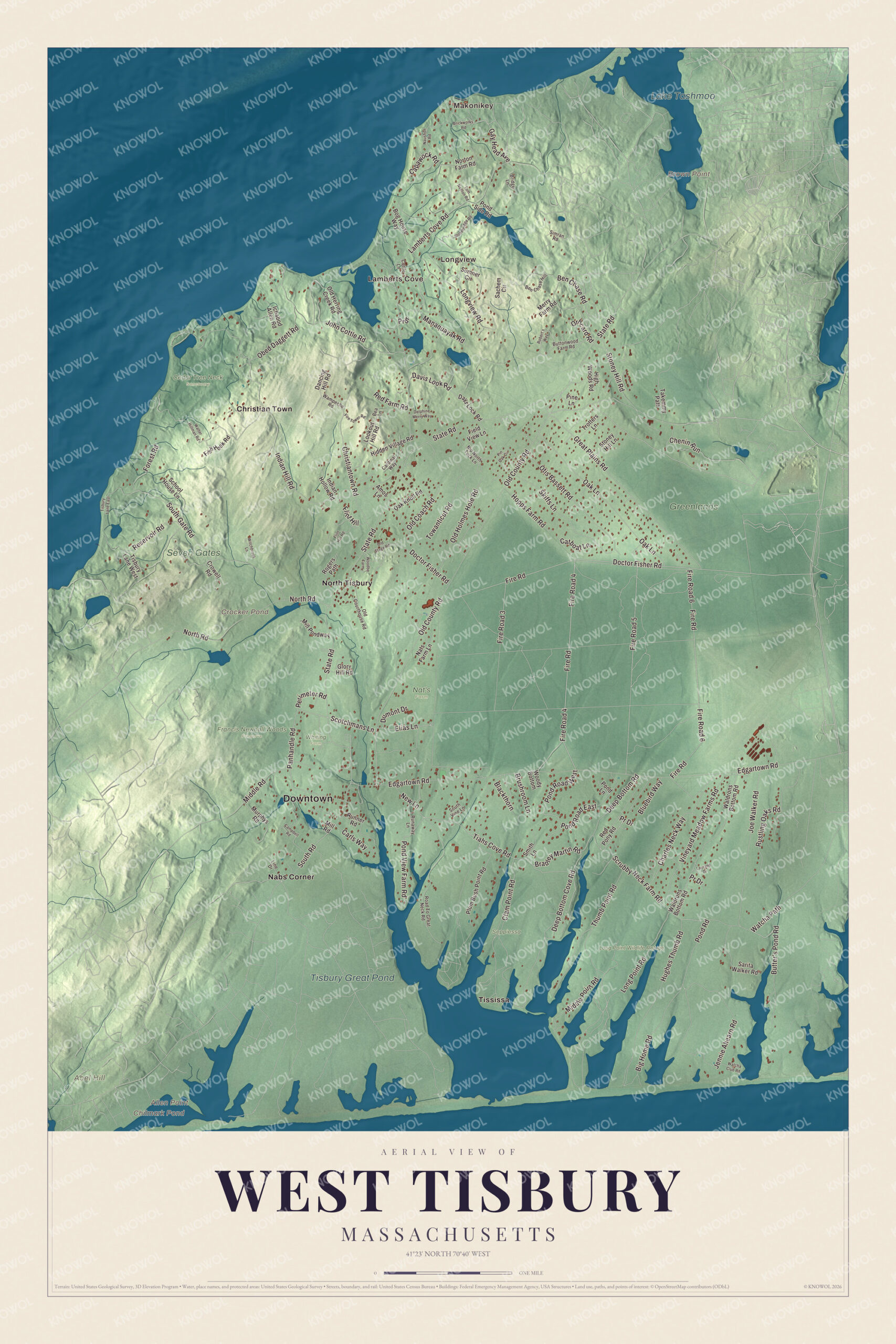
Click to explore a larger preview. The digital watermark does not appear on printed maps.
Names on this map
These names are printed on this map.
Places: Downtown, Makonikey, Longview, Lamberts Cove, Abel Hill, Allen Point, Brown Point, Chilmark Pond, Crocker Pond, Tisbury Great Pond, Lake Tashmoo, Cedar Tree Neck Sanctuary, Francis Newhall Woods Preserve, Greenlands, Long Point Wildlife Refuge, Nat's Farm, Seppiessa, Seven Gates, Whiting Farm, Christian Town, Nabs Corner, North Tisbury and Tississa.
Streets and roads: Fire Road 4, Doctor Fisher Road, Pond Road West, Elias Lane, Tiahs Cove Road, Scotchmans Lane, Bradley Martin Road, Fire Road, Panhandle Road, Deep Bottom Road, Orhcard Road, Fire Road 5.
More street names, A to Z
Amos Lane, Bea Lane, Ben Chase Hill, Ben Chase Road, Big Home Road, Blackthorn, Bluebird Way, Bog House Way, Brickworks Road, Bridge Lane, Brushroom Lane, Butter's Pond Road, Buttonwood Farm Road, Campbell Road, Capawock Road, Cardinal Way, Carls Way, Catboat Lane, Charles Neck Way, Chenin Run, Christiantown Road, Clam Point Road, Cottle Lane, Crowell Road, Dancing Hill Road, Davis Look Road, Days Lock Road, Deep Bottom Cove Road, Dolphine Merry Way, Dumont Drive, Edgartown Road, Field View Lane, Fire Road 3, Fire Road 6, Fire Tower Road, Fish Hook Road, Flint Hill, Flint Hill Road, Forest Road, Gay Head Avenue, Glory Hill Road, Great Plains Road, Hidden Village Road, High Woods Road, Hopps Farm Road, Hughes Thumb Road, Ichabod Allen Road, Indian Hill Road, Indian Hollow Road, Jennie Ahearn Road, Joe Walker Road, John Cottle Road, Lamberts Cove Road, Laurand Drive, Line Drive, Long Point Road, Longview Road, Lookout Hill Road, Manaquayak Road, Merry Farm Road, Middle Point Road, Middle Road, Mill Pondway, Mill Road, Murphys Road, Nats Farm Lane, Naushon Road, New Lane, Nip North Tuck Lane, North Road, Norton Farm Road, Oak Knoll Road, Oak Lane, Obed Daggett Road, Old Coach Road, Old County Road, Old Courthouse Road, Old Herring Creek Road, Old Holmes Hole Road, Old Stage Road, Otis Bassett Road, Perimeter Road, Pine Lane, Pin Oak Circle, Plum Bush Point Road, Pond Lane, Pond Road, Pond Road East, Pond Side Road, Pond View Farm Road, Prdr, Pr Drive, Red Farm Road, Red Pony Road, Reservoir Road, Road To Great Neck Road, Robert's Way, Rogers Path, Runaway Lane, Runner Road, Rustling Oaks Road, Sachem Circle, Sarita Walker Road, School House Lane, Scrubby Neck Farm Road, Simran Road, Skiffs Lane, Smith Lane, South Gate Road, South Road, South Vine Lane, State Road, Stonebridge Road, Stoney Hill Lane, Stoney Hill Road, Sumner Circle, Takemmy Path, Thumb Point Road, Tisbury Lane East, Tisbury Lane West, Tom Neelon Road, Towanticut Road, Trotters Lane, Vineyard Meadow Farms Road, Waldrons Bottom Road, Walter Hillman Road, Wampeche Road, Watcha Club Road, Watcha Path, Witchbrook Lane, Woodbe Farm, Woody Bottom.
See it on a wall
The West Tisbury map as a framed print. Swipe for more.


We designed the artwork at KNOWOL using West Tisbury’s real streets, buildings, neighborhoods, ponds and waterways, parks, mountains and ridgelines, and terrain, the town boundary, and the way buildings spread across the town. Then we chose the color, relief, lettering, and layout that make the map look great on the wall.
This beautifully detailed map of West Tisbury makes an attractive addition to your office, library, or den and can even be used to teach children the geography and history of the area. When you’re done exploring, click here to get your copy of the West Tisbury, Massachusetts map.