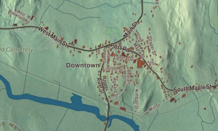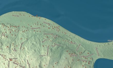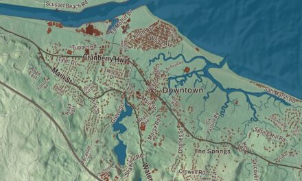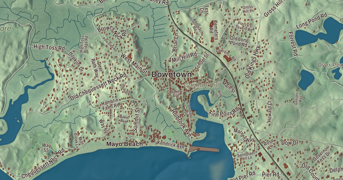
This aerial map of Wellfleet, Massachusetts was created in 2026 using real geographic data to bring the town’s streets, buildings, neighborhoods, coastline, ponds and waterways, mountains and ridgelines, and terrain together in one highly detailed view. Look closer and you can pick out the familiar places that make Wellfleet feel like home. Start with the street you know, then see how it connects to the rest of the Wellfleet you call home. Click here to purchase a print of this map for your wall.
Explore an aerial view of Wellfleet, Massachusetts
Start with Downtown and Newcomb Hollow. Follow West Main Street, Gross Hill Drive, Thoreau Way, Briar Lane, Bound Brook Island Road, and High Toss Road across town. Then look outward toward Cahoon Hollow, Fresh Brook, Mayo Beach, South Wellfleet, and Wellfleet by the Sea.
Dyer Pond, Gull Pond, Great Pond, Long Pond, Cannon Hill, Great Beach Hill, Bound Brook Island, and Great Island are all labeled on the map. Every one of those names is printed directly on the artwork, giving you plenty to explore.
The Town of Wellfleet’s recorded history dates European settlement to 1724. Wellfleet was incorporated as a town in 1775. The town remains part of Barnstable County today. Click the image below to see the area as it looked in 2026.
Take a closer look at the Wellfleet map
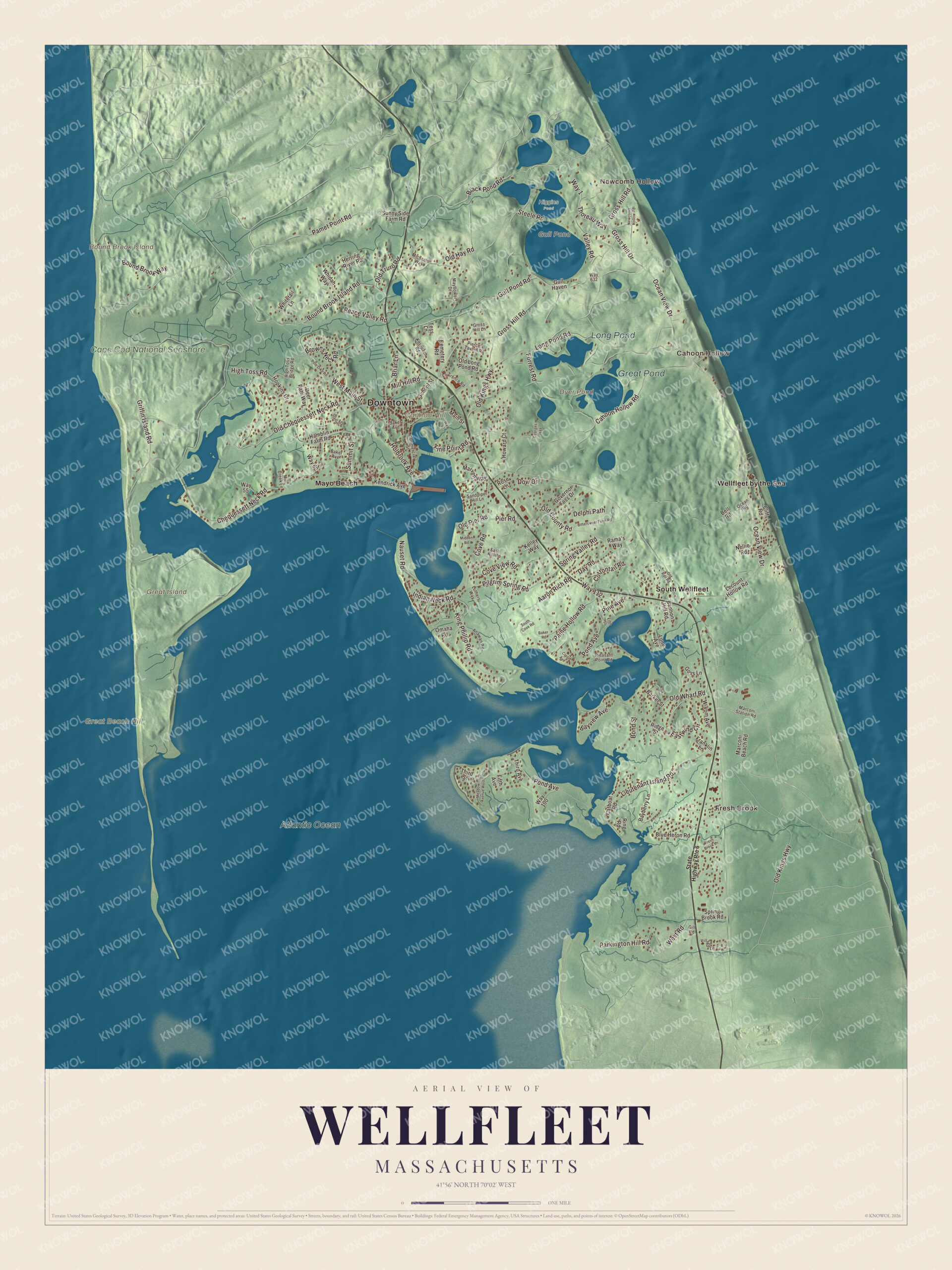
Click to explore a larger preview. The digital watermark does not appear on printed maps.
Names on this map
These names are printed on this map.
Places: Downtown, Newcomb Hollow, Cahoon Hollow, Fresh Brook, Bound Brook Island, Cannon Hill, Great Beach Hill, Great Island, Dyer Pond, Gull Pond, Great Pond, Long Pond, Atlantic Ocean, Cape Cod National Seashore, Higgins Pond, Mayo Beach, South Wellfleet and Wellfleet by the Sea.
Streets and roads: West Main Street, Gross Hill Drive, Thoreau Way, Way 1, Briar Lane, Bound Brook Island Road, High Toss Road, Gross Hill Road, Old Chequessett Neck Road, Pond Avenue, Ocean View Drive, Browns Neck Road.
More street names, A to Z
Aaron Rich Road, Anawan Road, Baker Avenue, Baker Road, Barker Street, Bayberry Lane, Bayview Avenue, Bell Road, Bittersweet Farm Road, Black Pond Road, Blue Heron Road, Bond Street, Bound Brook Way, Cahoon Hollow Road, Cannon Hill Road, Catboat Road, Cemetery Road, Chequessett Neck Road, Cliff Road, Commercial Street, Cottontail Road, Cove Road, Cove View Road, Crest Avenue, Daniels Drive, Day Road, Deer Path Way, Delphi Path, Dow Drive, East Hill Road, Eastwind Circle, Fifth Avenue, Fifth Street, Forrest Road, Franklin Lane, Fresh Brook Lane, Georges Way, Gill Road, Goss Lane, Governor Foss Drive, Griffin Island Road, Gross Hill Lane, Gull Haven, Gull Pond Road, Hamblin Farm Road, Herring River Road, High Toss Bridge Road, Holbrook Avenue, Hopkins Drive, Howard Court, Indian Neck Road, Kelley Way, Kendrick Avenue, Kerouach Road, King Phillip Road, Lawrence Road, Lecount Hollow Road, Lieutenant Island Road, Long Avenue, Long Pond Road, Luthers Way, Main Street, Marconi Beach Road, Marconi Station Road, Marven Way, Mayflower Drive, Meadow Avenue West, Michaels Way, Midden Road, Mill Creek Lane, Mill Hill Road, Nauset Road, Nellie Road, Newcomb Hollow Road, Ocean Road, Old County Road, Old Hay Road, Old Kings Highway, Old Long Pond Road, Old Pier Road, Old Rail Road, Old Truro Road, Old Wharf Road, Omaha Road, Paine Hollow Road, Pamet Point Road, Parkington Hill Road, Peace Valley Road, Pierce's Tavern Road, Pier Road, Pilgrim Spring Road, Pine Avenue, Pine Point Road, Pleasant Point Road, Pole Dike Road, Rama's Way, Ridge Street, Ring Road, Rose Lane, Sandpiper Hill Lane, School Street, South Cove Road, Spring Brook Road, Spring Valley Road, State Highway Route 6, Steele Road, Summit Street, Sunny Side Farm Road, Tess Lane, Third Avenue, Third Street, Valley Road, Village Lane, Way 40, Way 55, Way 60, Way 100, Way 112, Way 632, West Road, Whidah Way, Whitetail Lane, Wixom Avenue.
We designed the artwork at KNOWOL using Wellfleet’s real streets, buildings, neighborhoods, coastline, ponds and waterways, mountains and ridgelines, and terrain, the town boundary, and the way buildings spread across the town. Then we chose the color, relief, lettering, and layout that make the map look great on the wall.
This beautifully detailed map of Wellfleet makes an attractive addition to your office, library, or den and can even be used to teach children the geography and history of the area. When you’re done exploring, click here to get your copy of the Wellfleet, Massachusetts map.

We made a map for every town and city in Massachusetts. Explore the complete Massachusetts map collection and find your town.