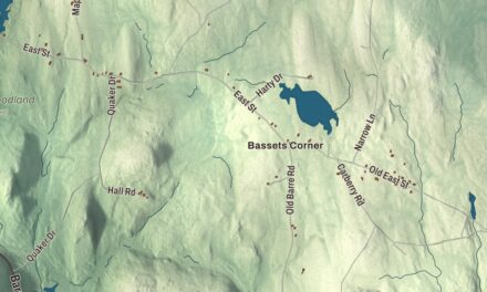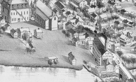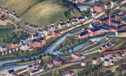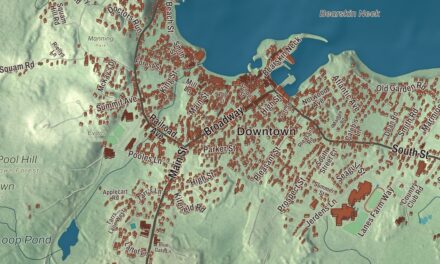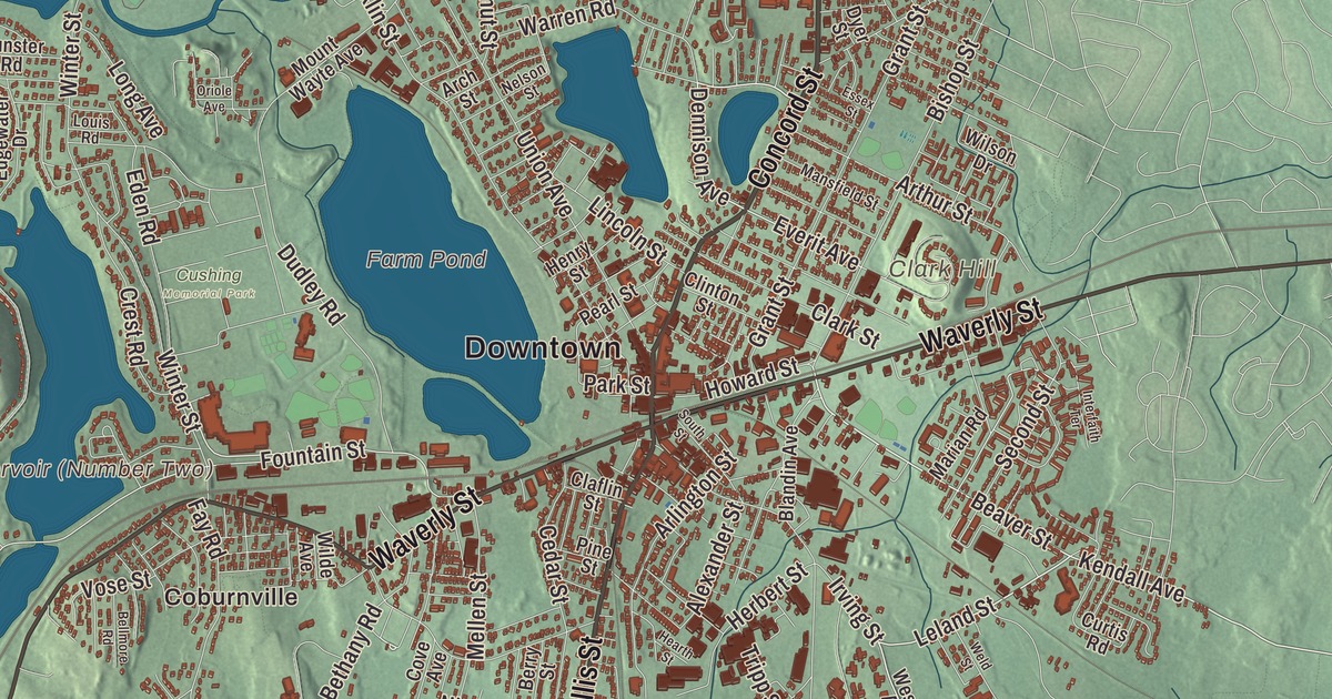
Framingham was the biggest town in Massachusetts before it became a city, and it still has a town’s worth of villages, from Saxonville on the Sudbury River to Nobscot and Framingham Center. This map prints Concord Street, Hollis Street, Worcester Road, Pleasant Street and Waverly Street, with Farm Pond, Lake Cochituate, Bracket Reservoir, Foss Reservoir, Bare Hill, Ballard Hill and Banner Hill. Click here to purchase a print of this map for your wall.
Framingham is in Middlesex County, in the MetroWest part of Greater Boston.
KNOWOL made this map in 2026 from public survey data and gave it the look of an old atlas. The relief comes from United States Geological Survey elevation data, and the roads and the city line come from the Census Bureau. Framingham covers 26.4 square miles, 25.1 of them land, and it had 72,362 people at the 2020 census, the 14th most populous municipality in Massachusetts.
Danforth’s Farms
The Nipmuc lived here before the English, in camps beside the pond they called Washakamaug, “eel fishing place,” which is Farm Pond today, and the Old Connecticut Path, an ancient Native trail, ran through the area. John Stone, the first English settler, built a farm on the west bank of the Sudbury River in 1647 and put up the town’s first grist mill at the falls in what’s now Saxonville, a village later named for its Saxon Factory Company textile mill. The City of Framingham’s recorded history, in the Secretary of the Commonwealth’s list, dates European settlement to 1650. In 1660 Thomas Danforth, an official of the Bay Colony, was granted land here and went on to gather more than 15,000 acres, and the settlement took the name Framlingham after his hometown in England. Danforth fought against making it a town, and Framingham was incorporated as a town in 1700, the year after he died. Nobody knows why the L was dropped. Framingham voted to become a city in 2017, and today Framingham is a city in Middlesex County.
In February 1775 two British officers sent to scout the road to Worcester stopped at Buckminster’s Tavern and watched the town militia drill outside, unnoticed. Two months later Framingham sent about 130 men to the battles of Lexington and Concord. One of them was Peter Salem, born into slavery in Framingham in 1750 and freed by Major Lawson Buckminster so he could enlist. He fought at Bunker Hill, where he was recorded as fatally wounding the British Major John Pitcairn, and he later enlisted in the Continental Army. He’s buried in Framingham’s Old Burying Ground, and the town put up a monument to him in 1882.
Harmony Grove
Before the Civil War, Framingham became a gathering place for the movement to end slavery. Every Fourth of July from 1854 to 1865, the Massachusetts Anti-Slavery Society held a rally at Harmony Grove, a picnic ground on Farm Pond near what’s now downtown. Speakers and guests at the first rally included William Lloyd Garrison, William Cooper Nell, Sojourner Truth, Wendell Phillips, Lucy Stone and Henry David Thoreau. In 2018 Yvonne Spicer was inaugurated as Framingham’s first mayor, the first African American woman to be popularly elected mayor anywhere in Massachusetts.
Schools, science and water
Framingham State University, on Bare Hill, began in 1839 as the first state-supported normal school in the United States, a school for training teachers, and it moved to Framingham in 1853. Christa McAuliffe, the teacher chosen for the space shuttle Challenger, grew up in Framingham and graduated from the college in 1970. The Framingham Heart Study began in 1948 with 5,209 adults from the town, and much of what’s now common knowledge about heart disease, from diet and exercise to aspirin, comes from it. The Dennison Manufacturing Company, founded in 1844, grew into a large industrial complex in South Framingham.
Framingham’s water once flowed to Boston. Lake Cochituate, shared with Natick and Wayland, was built between 1848 and 1863 as the city’s first major water supply. Framingham Reservoir No. 2, also called the Brackett Reservoir and named Bracket Reservoir (Number Two) here, went in between 1877 and 1879, and Reservoir No. 3, named Foss Reservoir (Number Three) here and the largest of the three Framingham reservoirs of that time, between 1876 and 1878. In North Framingham, Garden in the Woods, founded in 1931, holds what its page calls the largest landscaped collection of wildflowers in New England, and Callahan State Park covers 958 acres, mostly in Framingham and Marlborough. Click here to learn more about the history of Framingham.
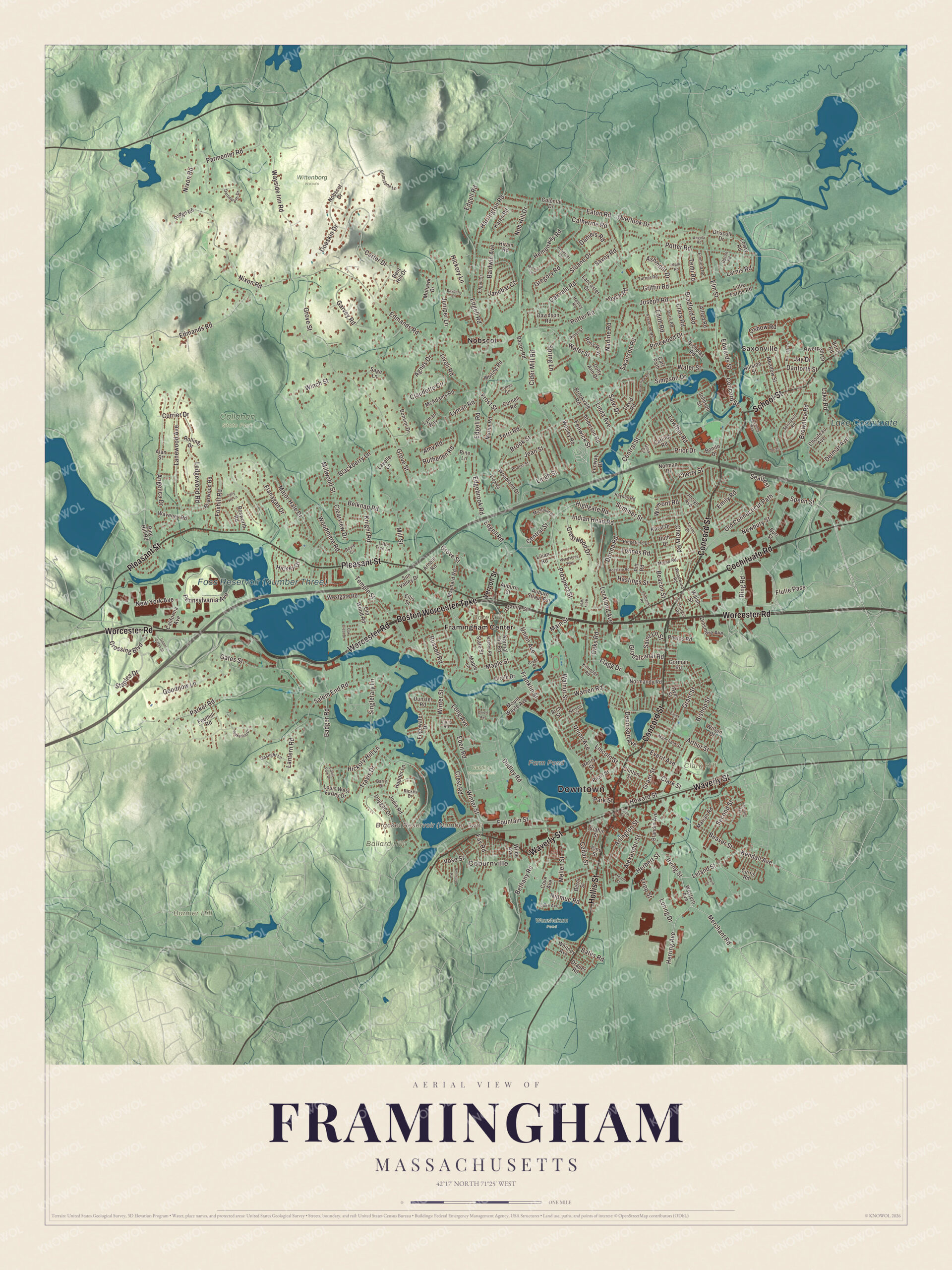
Click to explore a larger preview. The digital watermark does not appear on printed maps.
Names on this map
These names are printed on this map.
Places: Downtown, Saxonville, Coburnville, Ballard Hill, Banner Hill, Bare Hill, Clark Hill, Farm Pond, Lake Cochituate, Callahan State Park, Cushing Memorial Park, Waushakum Pond, Wittenborg Woods, Framingham Center and Nobscot.
Streets and roads: Concord Street, Hollis Street, Worcester Road, Boston Worcester Turnpike, Pleasant Street, Waverly Street, Cochituate Road, School Street, Ring Road, Beaver Street, Speen Street, Leland Street.
More street names, A to Z
Agnes Drive, Alan Street, Alexander Street, Alfred Road, Amy Road, Anderson Road, Angela Road, Angelica Drive, Arbetter Drive, Arch Street, Arlington Street, Arnold Road, Arthur Street, Ashmont Drive, Auburn Street, Auburn Street Extension, Bacon Road, Badger Road, Baldwin Avenue, Barber Road, Barry Drive, Bates Road, Bayberry Lane, Beacon Street, Belknap Road, Bellmore Road, Bent Hill Drive, Berry Street, Bethany Road, Birch Road, Bishop Street, Blackberry Lane, Blandin Avenue, Bonito Drive, Bonvini Drive, Bosworth Road, Bradford Road, Briarwood Road, Brimstone Lane, Brook Street, Brookvale Road, Brownlea Road, Burr Street, Cahill Park Drive, California Avenue, Capri Drive, Carling Road, Carter Drive, Cart Path, Catherine Road, Cedar Street, Central Street, Cherry Road, Cherry Street, Chouteau Avenue, Cider Mill Road, Circle Drive, Claflin Street, Clara Road, Clark Street, Claudette Circle, Clearview Drive, Clinton Street, Colonial Drive, Cornell Road, Cove Avenue, Crest Road, Crestwood Drive, Crossing Boulevard, Currier Drive, Curtis Road, Danforth Street, Daniels Road, Dartmouth Drive, David Road, Davidson Road, Delmar Avenue, Dennison Avenue, Dinsmore Avenue, Doeskin Drive, Donna Road, Doris Road, Dotty Ann Drive, Doyle Circle, Draper Road, Driscoll Drive, Dudley Road, Duggan Drive, Dunster Road, Dyer Street, Eaton Road, Eden Road, Edgebrook Road, Edgell Drive, Edgell Road, Edgewater Drive, Edith Road, Edmands Road, Edwards Street, Elda Road, Ellis Street, Elmfield Road, Elm Street, Emily Road, Essex Street, Everit Avenue, Fairbanks Road, Fay Road, Fenway Drive, Fenwick Street, Flagg Drive, Flanagan Drive, Flutie Pass, Foothill Road, Foster Drive, Fountain Street, Foxhill Road, Francine Road, Franklin Street, Frost Street, Garvey Road, Gaslight Lane, Gates Street, Gina Circle, Goodnow Lane, Gorman Road, Granite Street, Grant Street, Gregory Road, Griffin Road, Grove Street, Guadalcanal Road, Hadley Road, Harrington Road, Hastings Street, Haynes Road, Hearth Street, Hemenway Road, Henry Street, Herbert Street, Herring Avenue, Hialeah Lane, Hickey Drive, Hickory Hill Lane, Hickory Lane, Highgate Road, Hillside Street, Hiram Road, Hodder Lane, Holly Way, Howard Street, Indian Head Road, Interfaith Terrace, Irving Street, Janebar Circle, Jay Drive, Jean Street, Joclyn Avenue, Jodie Road, Johnson Street, Joseph Road, Joyce Road, Juniper Lane, Karal Drive, Karen Road, Kendall Avenue, Kittredge Road, Knight Road, Lake Avenue, Lake Road, Lancaster Drive, Lanewood Avenue, Lantern Road, Larnis Road, Lavelle Lane, Ledgewood Road, Leigh Street, Lilian Road, Lincoln Street, Linda Avenue, Little Farms Road, Little Tree Lane, Livoli Road, Lockland Avenue, Lohnes Road, Lomas Circle, Long Avenue, Loring Drive, Louis Road, Louis West Farley Drive, Lowry Road, Lowther Road, Lyman Road, Lyman Way, Main Street, Major Hale Drive, Mansfield Street, Maple Lane, Maple Street, Marian Road, Mark Road, Maynard Road, McAdams Road, Meadow Street, Mellen Street, Merchant Road, Merrill Drive, Michaud Drive, Mill Street, Millwood Street, Mohawk Drive, Morse Road, Mount Wayte Avenue, Myrna Road, Nadine Road, Nelson Street, Newbury Street, New York Avenue, Nicholas Road, Nipmuc Road, Nixon Road, Nob Hill Drive, Nobscot Drive, Normal Hill Road, Norman Drive, Normandy Road, Oak Crest Drive, Oaks Road, Oakvale Road, Old Connecticut Path, Old Wood Road, Oriole Avenue, Overlook Drive, Oxbow Road, Parker Road, Park Street, Parmenter Road, Pearl Street, Pennsylvania Avenue, Phelps Road, Pine Hill Road, Pine Lane, Pine Street, Pinewood Drive, Pitt Road, Poplar Street, Potter Road, Prior Drive, Prospect Street, Queens Way, Rickey Drive, Ridgefield Drive, Ridge Road, Riner Street, Riverpath Drive, River Street, Riverview Road, Rolling Drive, Rons Way, Rosslare Road, Russell Road, Ruth Drive, Ruthellen Road, Sage Lane, Saint Lo Street, Salem End Road, Salvi Drive, Savoy Road, Sealtest, Second Street, Simpson Drive, Singletary Lane, Sloane Drive, South Street, Springhill Road, Spring Lane, Staples Drive, State Street, Sturgis Road, Summer Street, Sun Valley Drive, Swanson Road, Tally Ho Lane, Temi Road, Temple Street, Terri Road, Travis Drive, Tripp Street, Turner Road, Union Avenue, Upper Gates Street, Upton Road, Vernon Street, Vose Street, Wakefield Drive, Walnut Street, Walsh Street, Warren Road, Water Street, Waveney Road, Wayside Inn Road, Weld Street, Wesley Road, Western Avenue, Westgate Road, Whiting Road, Whitney Avenue, Wilde Avenue, Wilmont Road, Wilson Drive, Winch Street, Winter Street, Woodland Drive, Woodmere Road, Woodward Road, Wyndstone Way.
See it on a wall
The Framingham map as a framed print. Swipe for more.


Around the map
Start with Saxonville, then follow Concord Street, Hollis Street, Worcester Road, the Boston Worcester Turnpike, Pleasant Street and Waverly Street across the city. Look outward toward Coburnville, Framingham Center and Nobscot, near Nobscot Hill, whose summit view reaches Boston and Mount Monadnock. Bracket Reservoir, Farm Pond, Foss Reservoir, Lake Cochituate, Ballard Hill, Banner Hill and Bare Hill are all printed on the map.
The Framingham map makes a fine addition to an office, library or den, and it can help teach children the geography and history of a city that grew from a ring of villages. It’s made for people who call Framingham home, from Saxonville to Nobscot, and it shows the city as it looks today. Zoom in on the preview above to explore the details, then click here to get your copy of the Framingham, Massachusetts map.

Sources
- Framingham, Massachusetts, Wikipedia
- Saxonville, Massachusetts, Wikipedia
- Peter Salem, Wikipedia
- Yvonne Spicer, Wikipedia
- Framingham State University, Wikipedia
- Christa McAuliffe, Wikipedia
- Framingham Heart Study, Wikipedia
- Lake Cochituate, Wikipedia
- Framingham Reservoir No. 2 Dam and Gatehouse, Wikipedia
- Framingham Reservoir No. 3 Dam and Gatehouse, Wikipedia
- Garden in the Woods, Wikipedia
- Callahan State Park, Wikipedia
- Nobscot Hill, Wikipedia
- City and Town Incorporation and Settlement Dates, Secretary of the Commonwealth of Massachusetts (archived copy)