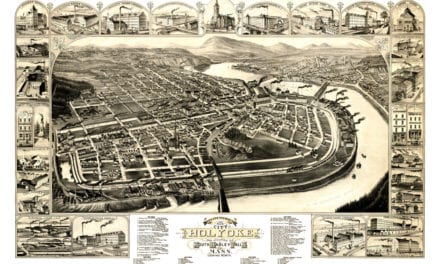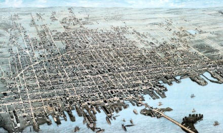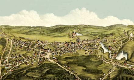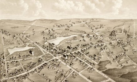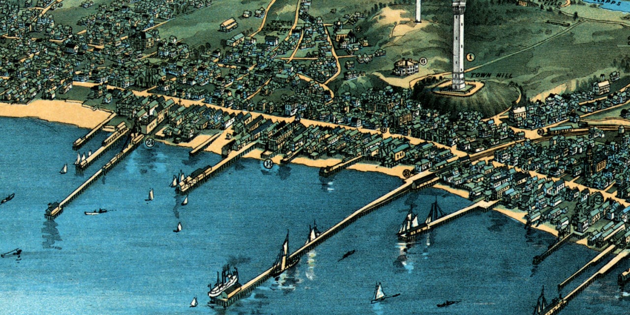
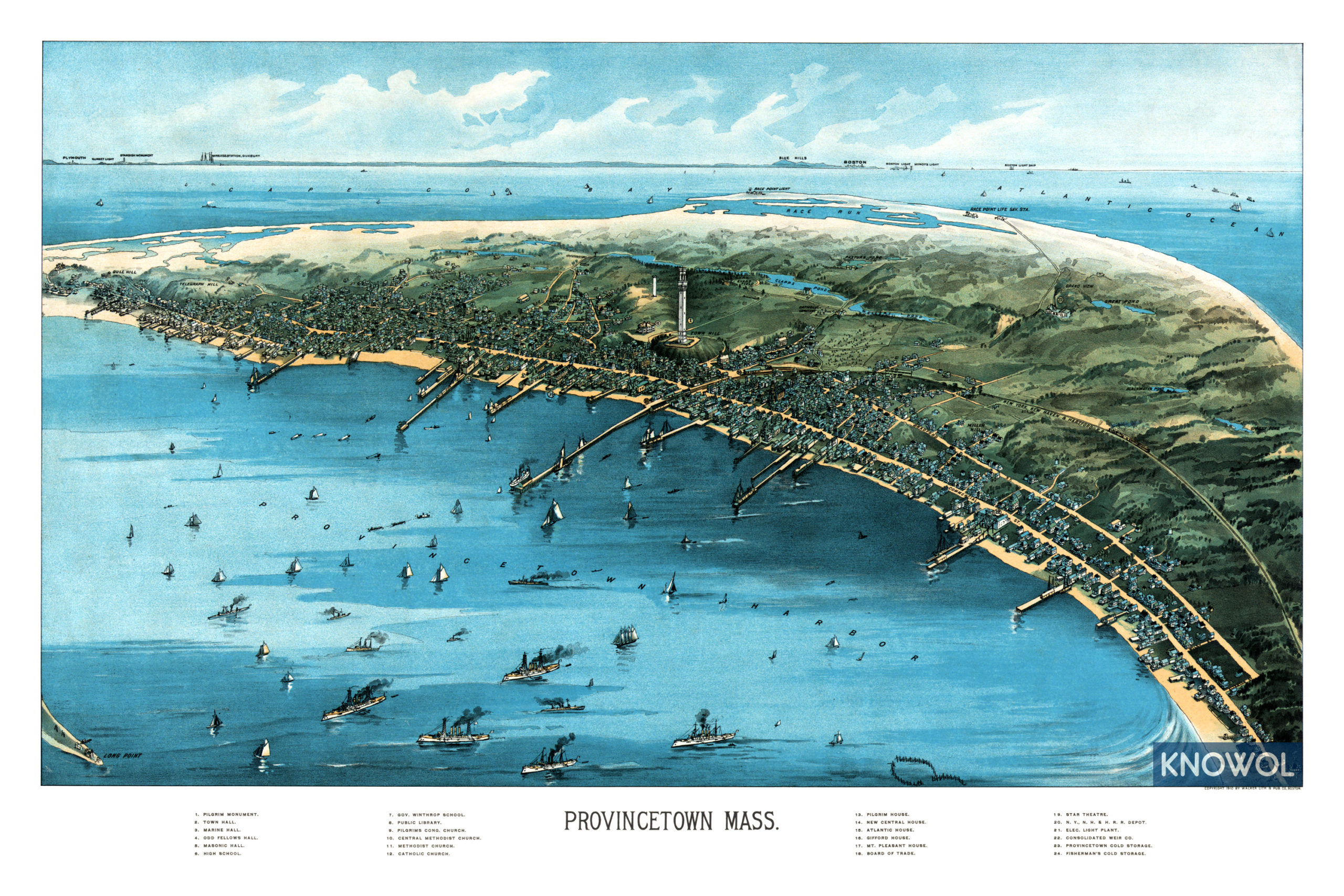
This map of Provincetown, Massachusetts was created in 1910 by George H. Walker, a prominent 19th century map maker. The map shows a bird’s eye view of Provincetown as it used to be, including street names and old landmarks.
Provincetown landmarks highlighted on the map include Pilgrim Monument, Star Theatre, Town Hall, Marine Hall, Masonic Hall, Pilgrim House, Gifford House, Provincetown Cold Storage, Clapps Pond, Mt. Pleasant House, the New York, New Haven & Hartford Railroad Station, and more.
This historic map of Provincetown, MA was restored by KNOWOL. Reproductions of the map are available here.
Bird’s Eye View of Provincetown, MA in 1910
This old map of Provincetown makes an attractive addition to your office, library, or den and can even be used to teach children the geography and history of the area. When you’re done exploring, click here to get your copy.