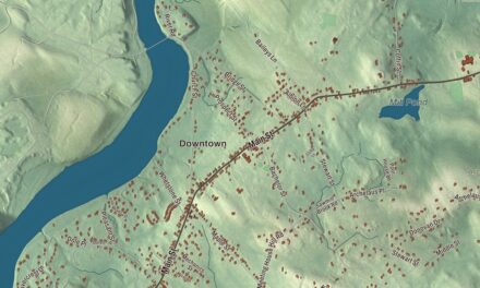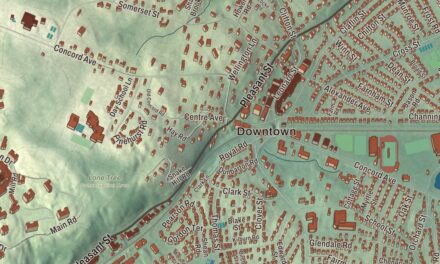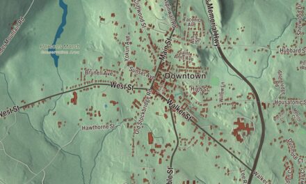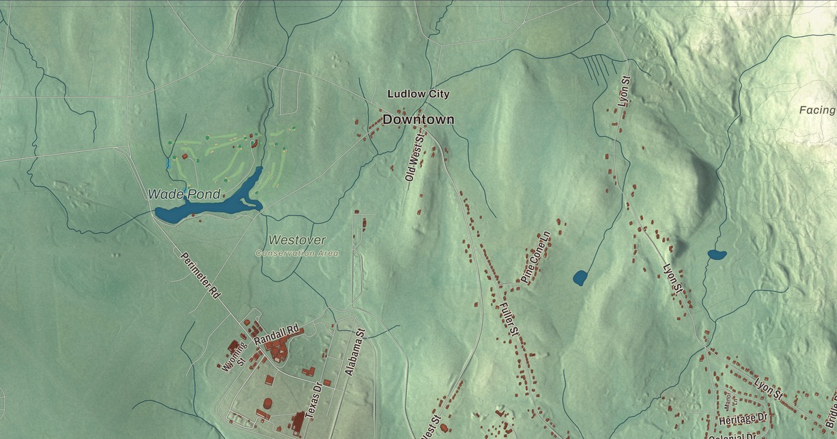
Ludlow grew from two centers, the old town green where Center Street meets Church Street and the mill village down by the Chicopee River with its clock tower. This map prints Center Street, East Street, West Street, Holyoke Street, Dinis Avenue and Perimeter Road, with the Springfield Reservoir, the Chicopee River Reservoir, Alden Pond and Facing Rock. Click here to purchase a print of this map for your wall.
Ludlow is in Hampden County.
KNOWOL made this map in 2026 from public survey data and gave it the look of a vintage atlas. The hills and river valley come from United States Geological Survey elevation data, and the Census Bureau supplied the streets and the town line. Ludlow covers 28.2 square miles just northeast of Springfield, across the Chicopee River, and had 21,002 people at the 2020 census. It borders Chicopee, Granby, Belchertown, Palmer, Wilbraham and Springfield, and the Chicopee River forms its southern edge. Ludlow sits at exit 54 of the Massachusetts Turnpike, and Route 21 runs through town between Springfield and Belchertown.
Stony Hill
Algonquian-speaking people lived along the Chicopee River before the colonists came, likely Nipmuc or Pocomtuc. Plans for a settlement inside the old bounds of Springfield were drawn as early as 1685, but settlers first came in 1751, when the place was called Stony Hill Parish. The Town of Ludlow’s recorded history, in the Secretary of the Commonwealth’s list, dates European settlement to 1751. Governor Thomas Hutchinson renamed the district of Stony Hill as Ludlow, possibly for Roger Ludlow, a founder of the Connecticut Colony, or for Ludlow in Shropshire, England. The town page and the historic district pages give 1774 for its separate incorporation, just before the Revolution, while the Secretary of the Commonwealth’s list says Ludlow was incorporated as a town in 1775. The town remains part of Hampden County today.
The town fathers picked a spot near the geographic center for the first meetinghouse, which went up in 1783 and 1784, and Center and Church Streets were laid out around it. That crossroads is now the Ludlow Center Historic District, with the triangular First Church Common, the Romanesque Congregational church of 1859, the old town hall and farmhouses from the early 1800s. Many Ludlow streets still carry the names of the farm families who settled the town, among them Chapin, Miller, Alden and Fuller.
The mills at Wallamamumps Falls
Down on the Chicopee River, the Wallamamumps Falls were a natural place for water-powered mills, and the river crossing there was one of the first bridges over the Chicopee. Sawmills and gristmills came first, then glass bottle makers, and in 1868 the Ludlow Company opened the largest mill, making jute yarns, twine and webbing. Its clock tower of 1886 is on the town seal. The company built housing, a library, schools, playgrounds and a clubhouse for its workers, and Ludlow Village became the town’s economic center, with town meeting moving there in 1893. The Ludlow Village Historic District keeps the 1845 Union Church of Christ, the 1890 Hubbard Memorial Library and the town’s first high school.
The mills drew Irish and French Canadian workers, who made a Little Canada around Center Street near the Hubbard Library, and then large numbers of Polish families, who settled along East Street and over the bridge in Indian Orchard. The Ludlow mills stopped running in the 1960s. Today Portuguese Americans make up about a fifth of the town, and the Festa at Our Lady of Fatima is one of the most significant Portuguese American cultural events in the country, according to the town page. Soccer is hugely popular in Ludlow, the high school team has won many state championships, and in 1996 the National Soccer Hall of Fame added Ludlow to its soccer history display.
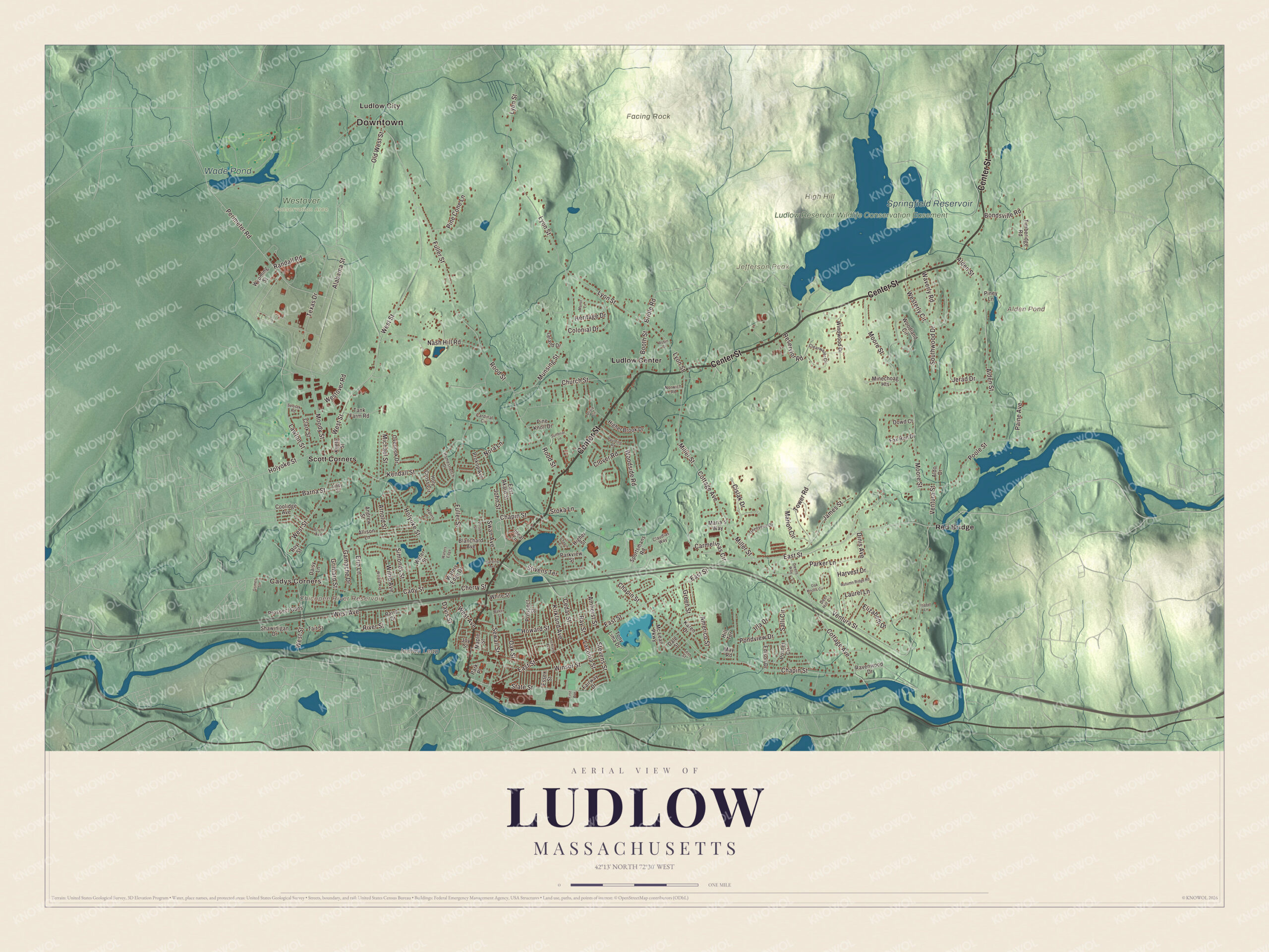
Click to explore a larger preview. The digital watermark does not appear on printed maps.
Names on this map
These names are printed on this map.
Places: Downtown, Cadys Corners, Facing Rock, High Hill, Indian Leap, Jefferson Peak, Alden Pond, Chicopee River Reservoir, Springfield Reservoir, Wade Pond, Ludlow Reservoir Wildlife Conservation Easement, Westover Conservation Area, Ludlow Center, Ludlow City, Red Bridge and Scott Corners.
Streets and roads: Center Street, East Street, Perimeter Road, West Street, Holyoke Street, Dinis Avenue, Chapin Street, Fuller Street, Cottage Avenue, Miller Street, Lyon Street, Texas Drive.
More street names, A to Z
Alabama Street, Alden Street, Aldo Drive, Allison Lane, Americo Street, Amherst Street, Andrew Street, Arnold Street, Autumn Ridge Road, Baker Street, Barna Street, Barre Drive, Blanchard Avenue, Bondsville Road, Booth Street, Bridle Road, Bruni Avenue, Cady Street, Cardinal Circle, Carmelinas Circle, Cedar Street, Chapin Circle, Cherry Street, Church Street, Cislak Drive, Clark Street, Claudias Way, Clearwater Circle, Clover Road, Colonial Drive, Coolidge Avenue, Daisy Lane, Dale Street, Davis Street, Deer Hill Circle, Dowd Court, East Akard Street, Edison Drive, Elizabeth Drive, Erin Lane, Essex Street, Fairway Drive, Fern Street, First Avenue, Fox Run Drive, Gamache Drive, Genovevo Drive, Green Street, Grimard Street, Grimes Street, Harding Avenue, Harris Lane, Harvest Drive, Heritage Drive, Higher Brook Drive, Higher Street, Hill Terrace, Holy Cross Circle, Homestretch Drive, Howard Street, Ideal Lane, Irla Drive, Isabel Lane, James Street, Jerad Drive, John Street, Joy Street, Karen Drive, Keefe Street, Kendall Street, Kirkland Avenue, Laconia Street, Laurel Lane, Lawton Street, Leland Drive, Libby Street, Lockland Avenue, Manor Lane, Maple Street, Maria's Way, Marion Circle, May Road, Mc Lean Parkway, Michael Street, Minechoag Heights, Moody Street, Moore Street, Munsing Street, Nash Hill Road, Nora Lane, Norwich Road, Oak Knolls Circle, Oak Street, Old West Street, Olivia Circle, Overlook Drive, Owens Way, Paine Avenue, Parker Lane, Park Place, Parkview Street, Paulding Road, Pine Cone Lane, Pine Knoll Drive, Piney Lane, Pondview Drive, Poole Street, Posner Circle, Prokop Avenue, Prospect Gdns, Prospect Street, Randall Road, Ravenwood Drive, Ray Street, Reservior Road, River Street, Robin Drive, Rood Street, Roy Street, Salli Circle, Sewall Street, Shawinigan Drive, Simonds Street, Southwood Drive, Sportsmans Road, Sroka Lane, State Street, Stevens Street, Stivens Terrace, Sunbriar Lane, Swan Avenue, Szlosek Road, Tait Street, Tank Farm Road, Timberidge Road, Tony Lima Drive, Tower Road, Ventura Street, Waters Edge, Waters Edge Drive, Water Street, Waverly Road, West Avenue, Westerly Circle, Westover Road, White Street, Willard Avenue, Wilno Avenue, Wilson Street, Windwood Drive, Winsor Street, Woodland Circle, Woodside Road, Wyoming Street.
Around the map
Start with Cadys Corners. Follow Center Street, East Street, Perimeter Road, West Street, Holyoke Street and Dinis Avenue across town. Then look outward toward Ludlow Center, Ludlow City, Red Bridge and Scott Corners. Alden Pond, the Chicopee River Reservoir, the Springfield Reservoir, Wade Pond, Facing Rock, High Hill and Jefferson Peak are all printed on the map. The old railroad station stood at Winsor Street and Sewall Street until it was torn down in 1960, and part of the Massachusetts Turnpike now runs on the grade of the Hampden bypass railroad, which was built in the 1910s but never opened.
The Ludlow map makes a fine addition to an office, library or den, and it can help teach children the geography and history of a Chicopee River mill town. It’s made for people who call Ludlow home, from Ludlow Center to Red Bridge, and it shows the town as it looks today. Zoom in on the preview above to explore the details, then click here to get your copy of the Ludlow, Massachusetts map.

We made a map for every town and city in Massachusetts. Explore the complete Massachusetts map collection and find your town.
Sources