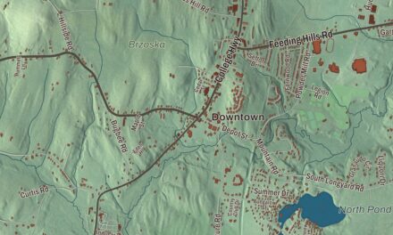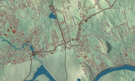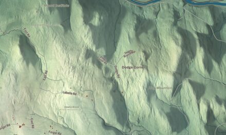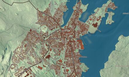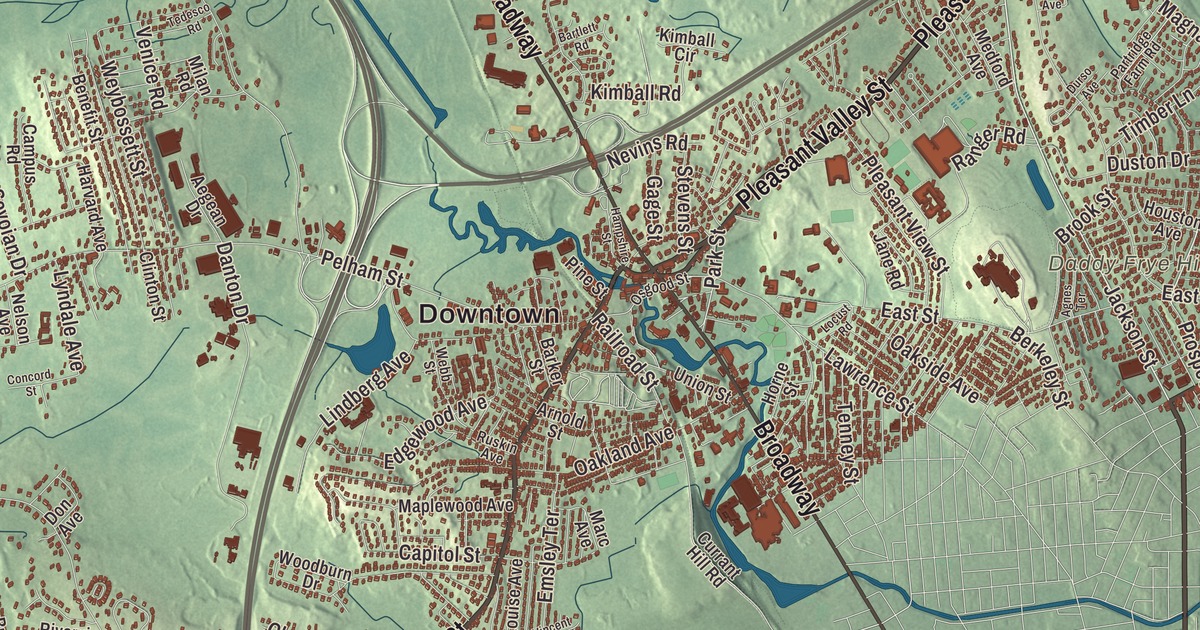
Methuen’s old center grew up around the falls of the Spicket River, where the mill buildings still stand and the Music Hall sits beside the river on Broadway. This map prints Lowell Street, Pleasant Valley Street, Merrimack Street, Haverhill Street and East Street, with Forest Lake, Canobie Lake, World End Pond and Daddy Frye Hill. Click here to purchase a print of this map for your wall.
Methuen is in Essex County.
KNOWOL made this map in 2026 from public survey data and set it in the style of an old city atlas. Its hills and low ground come from United States Geological Survey elevation data, and the Census Bureau supplied the streets and the city line. Methuen covers 23.1 square miles along the north bank of the Merrimack River, with Haverhill to the northeast, North Andover to the southeast, Lawrence and Andover to the south, Dracut to the west, and Pelham and Salem, New Hampshire, to the northwest and north. It had 53,059 people at the 2020 census. The Spicket River cuts the city in two, dropping nearly 100 feet over a series of dams on its way down to the Merrimack in Lawrence.
Above Hawke’s Meadow Brook
Methuen began as the western part of Haverhill. The City of Methuen’s recorded history, in the Secretary of the Commonwealth’s list, dates European settlement to 1642. In 1724 Stephen Barker and his neighbors asked the General Court to let them form a new town above Hawke’s Meadow Brook, and though the rest of Haverhill opposed them, the court approved the act on December 8, 1725. Methuen was incorporated as a town in 1725, named for Sir Paul Methuen, a member of the King’s Privy Council and a friend of acting governor William Dummer. The first town meeting gathered in a resident’s home on March 9, 1726, and land for a meetinghouse was set aside on the hill that now holds the city’s oldest cemetery. Today, Methuen is a city in Essex County.
The north end of the young town soon wanted a meetinghouse of its own, and in 1736 a north parish was set off; its 1738 meetinghouse still stands as the home of the Salem, New Hampshire, Historical Society. When the province line was fixed in 1741, most of that parish ended up in New Hampshire, where it became the town of Salem. Robert Rogers was born in Methuen on November 7, 1731, to Ulster-Scots settlers, at a time when the town was a staging point for families bound for the New Hampshire frontier. He went on to raise and command Rogers’ Rangers in the French and Indian War, and the Methuen High School teams play as the Rangers, a mascot named after his company.
The falls and three families
Small mills worked the Spicket River falls in the 1700s, but the center of town took shape after the Methuen Cotton Mills went up there in the 1820s. The oldest surviving buildings are brick, built in 1825 and 1826 when the main “A” mill rose, and small factories along the river turned out hats and shoes. Mill owner David Nevins added six buildings and a new dam between 1879 and 1882. Today the Spicket Falls Historic District, listed on the National Register in 1984, takes in Gaunt Square and both banks of the river, and it’s described as one of the best-preserved 19th century mill complexes on the lower Merrimack. Next door, the Pleasant-High Historic District holds Methuen’s first neighborhood of houses built away from the farms, laid out by 1810 on the rise above the mills, with the Civil War memorial where Pleasant and Charles streets meet.
Three families, the Nevinses, the Tenneys and the Searleses, left their mark on almost every corner of the old center. The Nevins Memorial Library at 305 Broadway was built in 1883 as a gift from David Nevins Sr.’s widow and sons. Charles H. Tenney, whose New York firm handled a very large part of the country’s hat production, built Grey Court on a Methuen hilltop between 1890 and 1892. A fire destroyed the mansion in 1978, and Greycourt State Park now covers 24 acres around its partly restored ruins, while the Tenney Castle Gatehouse is home to the Methuen Historical Society. Edward Francis Searles, born in Methuen in 1841 to a mill worker’s family, married the wealthy widow of the railroad man Mark Hopkins and went on to build a number of grand structures with the architect Henry Vaughan. His Serlo Organ Hall, finished in 1909 at 192 Broadway and known today as the Methuen Memorial Music Hall, was built to hold the Great Organ that Searles bought at auction. Made by E. F. Walcker of Ludwigsburg, Germany, the organ was installed in the Boston Music Hall in 1863 as the first concert organ in the United States, and it now has 6,088 pipes. The Searles Tenney Nevins Historic District, set up by the city in 1992, protects what all three families built. Click here to learn more about the history of Methuen.
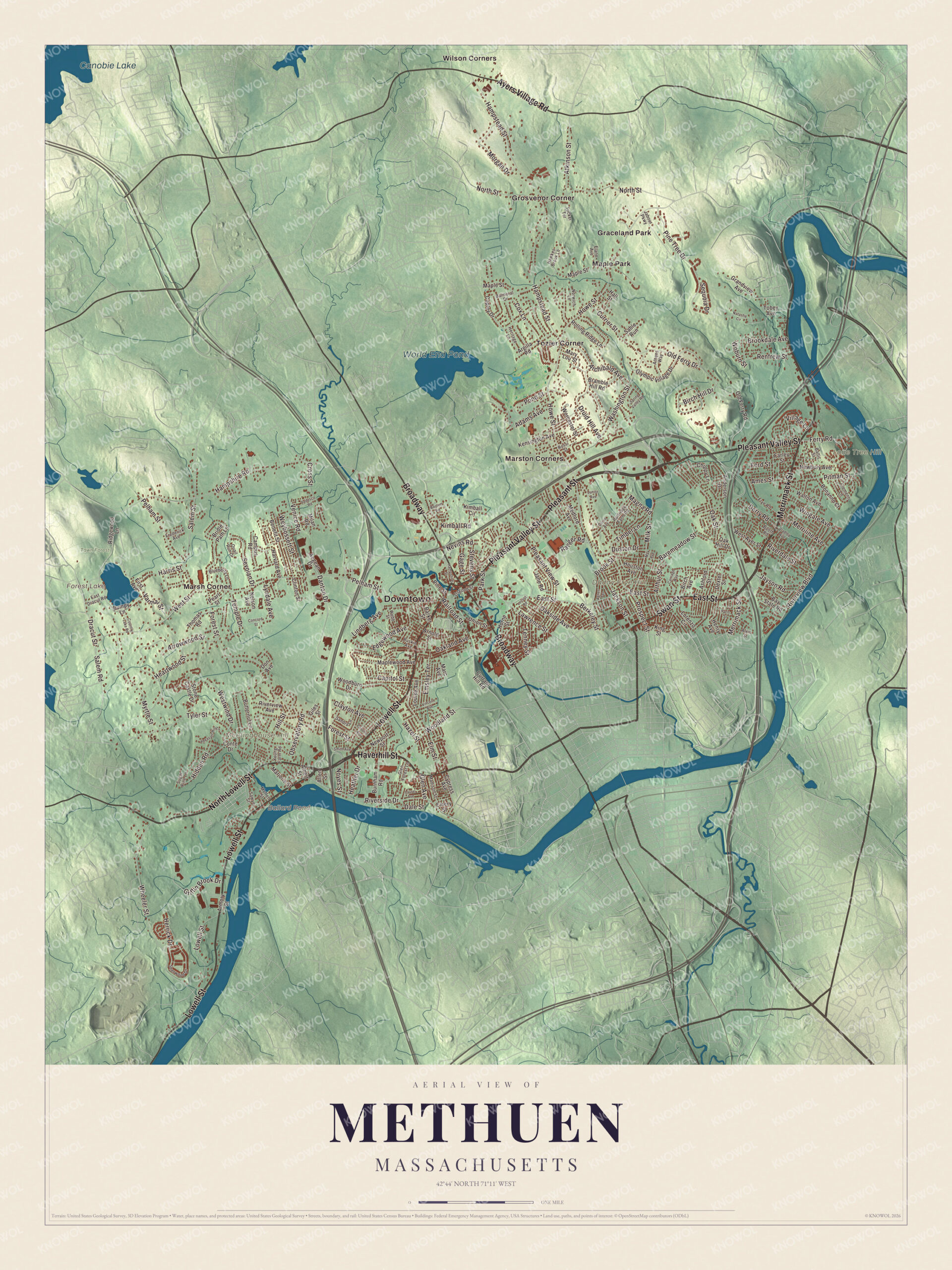
Click to explore a larger preview. The digital watermark does not appear on printed maps.
Names on this map
These names are printed on this map.
Places: Downtown, Daddy Frye Hill, Lone Tree Hill, Meetinghouse Hill, Ballard Pond, Forest Lake, Canobie Lake, World End Pond, Town Forest, Graceland Park, Grosvenor Corner, Maple Park, Marsh Corner, Marston Corners, Tozier Corner and Wilson Corners.
Streets and roads: Lowell Street, Pleasant Valley Street, Merrimack Street, North Lowell Street, Haverhill Street, East Street, Swan Street, Pleasant Street, Broadway, Ayers Village Road, Jackson Street, Milk Street.
More street names, A to Z
Adams Avenue, Aegean Drive, Agnes Terrace, Albert Street, Allen Street, Alvin Street, Ames Street, Anderson Drive, Archibald Avenue, Argilla Road, Armory Street, Arnold Street, Arrowwood Street, Arthur Street, Ashford Street, Athens Way, Atkinson Street, Balmoral Drive, Baltic Street, Baremeadow Street, Barker Street, Bartlett Road, Bay State Road, Benefit Street, Berkeley Street, Birch Avenue, Birch Hill Drive, Blueberry Lane, Bonanno Court, Booth Road, Bradley Avenue, Bramble Hill Road, Bridle Path Lane, Brookdale Avenue, Brook Street, Bumpy Lane, Burnham Road, Butternut Lane, Campus Road, Capitol Street, Carriage Way, Chippy Lane, Clayton Avenue, Clementi Lane, Clinton Street, Concord Street, Conte Drive, Copley Drive, Coronet Avenue, Country Lake Road, Cox Lane, Cross Street, Currant Hill Road, Currier Street, Cypress Avenue, Dale Street, Danton Drive, Derry Road, Dexter Street, Don Avenue, Dracut Street, Druid Hill Avenue, Durso Avenue, Duston Drive, East Dracut Road, Edgewood Avenue, Elane Avenue, Elm Street, Emery Street, Emsley Terrace, Farley Street, Ferry Road, First Avenue, Ford Street, Forest Street, Frederick Avenue, Frye Road, Gage Street, Giles Street, Glen Avenue, Glen Forest Lane, Grandview Avenue, Griffin Brook Drive, Hall Street, Hampshire Road, Hampshire Street, Hampstead Street, Harris Street, Harvard Avenue, Hawkes Brook Lane, Hazel Street, Heartwood Street, Heather Drive, Henry Avenue, Heritage Lane, Herrick Drive, Hidden Road, Hill Street, Horne Street, Houston Avenue, Howe Street, Jabour Parkway, Jane Road, Jayson Road, Junior Avenue, Kensington Avenue, Kimball Circle, Kimball Road, King Street, Laurel Avenue, Lawrence Street, Lindberg Avenue, Locust Road, Lorenzo Circle, Louise Avenue, Lyndale Avenue, Madison Street, Magna Road, Maple Street, Maplewood Avenue, Marc Avenue, Marjorie Street, Mary Lou Street, Max Avenue, Medford Avenue, Merriline Avenue, Milan Road, Moffett Street, Morgan Drive, Myrtle Street, Natasha Circle, Nelson Avenue, Nevins Road, Newbury Avenue, Newport Street, North Street, Norwich Lane, Noyes Street, Oak Hill Drive, Oakland Avenue, Oakside Avenue, Oak Street, Observatory Road, Old Ferry Drive, Old Ferry Road, Olympic Village Drive, Osgood Street, Paris Street, Park Street, Partridge Farm Road, Pearl Street, Pelham Street, Pheasant Hill Lane, Pine Street, Pine Tree Drive, Pitman Street, Pleasant View Street, Pond Street, Prospect Street, Quail Run Drive, Railroad Street, Ranger Road, Renfrew Street, Ridgewood Lane, Riverdale Street, Riverside Drive, Riverview Avenue, Riverview Boulevard, Rolling Ridge Lane, Rossi Street, Ruskin Avenue, Sable Run, Salem Road, Salem Street, Sandra Lane, Sawyer Street, Sequoia Drive, Sevoian Drive, Sherwood Drive, Smith Avenue, Spring Valley Road, Stevens Street, Stone Castle Drive, Sugar Pine Lane, Tedesco Road, Temple Drive, Tenney Street, Thomas Road, Timber Lane, Tobey Avenue, Tucker Terrace, Tyler Street, Union Street, Varniai Street, Venice Road, Village Lane, Vincent Avenue, Walton Avenue, Washington Street, Webb Street, West Ayer Street, West Street, Westwind Drive, Weybossett Street, Wheeler Street, Wingate Avenue, Woburn Street, Woodburn Drive, Woodland Street, Worcester Street, Young Farm Road.
See it on a wall
The Methuen map as a framed print. Swipe for more.


Around the map
Start with Graceland Park. Follow Lowell Street, Pleasant Valley Street, Merrimack Street, North Lowell Street, Haverhill Street and East Street across the city. Then look outward toward Grosvenor Corner, Maple Park, Marsh Corner, Marston Corners and Tozier Corner. Ballard Pond, Forest Lake, Canobie Lake, World End Pond, Town Forest, Daddy Frye Hill, Lone Tree Hill and Meetinghouse Hill are all printed on the map, each name set right on the artwork.
Daddy Frye Hill and Meetinghouse Hill are two names for the same rise north of downtown, at East and Arlington streets. The town’s early meetinghouses stood there, and the stone church on the site dates to 1855. The later name honors Jeremiah Frye, who kept a large tavern at East and Brook streets. Daddy Frye’s Hill Cemetery, set up in 1728, is the city’s oldest, and the town founders and their first minister, the Reverend Christopher Sargent, are buried there beside a stone chapel Searles built for his aunt and uncle. Forest Lake covers more than 55 acres beside the town forest, with fishing, canoeing and swimming. Canobie Lake Park, on the shore of Canobie Lake over the line in Salem, New Hampshire, opened as a trolley park in 1902.
Hang this Methuen map in an office, library or den, or use it to teach children the geography and history of a mill city on the Spicket. It’s made for people who call Methuen home, from Marsh Corner to Tozier Corner, and it shows the city as it looks today. Zoom in on the preview above to explore the details, then click here to get your copy of the Methuen, Massachusetts map.

Sources
- Methuen, Massachusetts, Wikipedia
- Spicket River, Wikipedia
- Robert Rogers, Wikipedia
- Spicket Falls Historic District, Wikipedia
- Pleasant-High Historic District, Wikipedia
- Nevins Memorial Library, Wikipedia
- Charles H. Tenney, Wikipedia
- Greycourt State Park, Wikipedia
- Edward Francis Searles, Wikipedia
- Methuen Memorial Music Hall, Wikipedia
- Daddy Frye’s Hill Cemetery, Wikipedia
- Canobie Lake Park, Wikipedia
- City and Town Incorporation and Settlement Dates, Secretary of the Commonwealth of Massachusetts (archived copy)