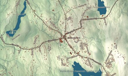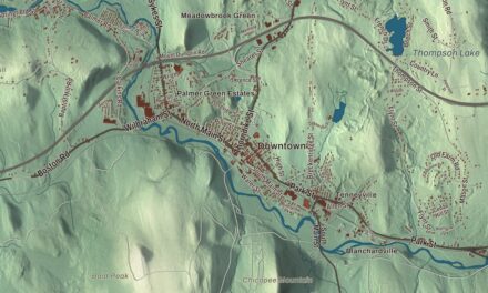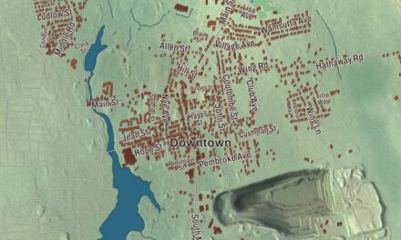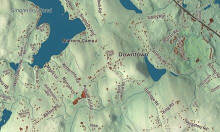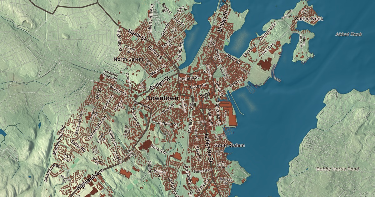
Salem’s ships once sailed from Derby Street to the far side of the world, and this map of the city follows Derby Street, Essex Street, Bridge Street, Lafayette Street, North Street and Highland Avenue out to Salem Neck, Bakers Island and the harbor. Click here to purchase a print of this map for your wall.
Salem is in Essex County.
KNOWOL made this map in 2026 from public survey data, drawn in the manner of an old atlas. United States Geological Survey elevation data shapes the land, and the streets and the city line come from the Census Bureau. Salem covers 18.1 square miles, and more than half of that, 9.9 square miles, is water. The city lies on Massachusetts Bay between Salem Harbor and Beverly Harbor, about 15 miles northeast of Boston, with Beverly to the north, Danvers to the northwest, Peabody to the west, Lynn to the south and Swampscott and Marblehead to the southeast. Salem had 44,480 people at the 2020 census.
Naumkeag to Salem
The Native people who lived on the peninsula called it Naumkeag. The City of Salem’s historical profile records settlement in 1626 by Roger Conant and his associates, who came from a fishing settlement at Cape Ann, four years before Boston was settled. John Endecott arrived in 1628 to take charge, and the settlement’s name was changed to Salem, from Shalem, a name tied to Jerusalem. Salem is also the birthplace of the National Guard, which first mustered on Salem Common. The witch trials of 1692 are the part of Salem’s past most people know, and the Witch House at 310 Essex Street, the home of Judge Jonathan Corwin, is one of the few buildings still standing in Salem with direct ties to them. It’s now a museum run by the city.
On February 26, 1775, British troops under Lieutenant Colonel Alexander Leslie marched on Salem to seize military stores hidden in North Salem. Townspeople raised the drawbridge over the North River on North Street, the two sides reached a compromise, and the troops turned back without a shot fired. Some historians consider the standoff the first armed resistance to British authority.
To the farthest port
After the Revolution, Salem’s ships went looking for trade in distant places. By 1790 Salem was the sixth-largest city in the country and a seaport known around the world, especially in the China trade. In the early nineteenth century, the city’s profile says, Salem held a leading place in international commerce, and ships from the city opened trade with Africa, China, Russia, Japan and Australia. Elias Hasket Derby’s Grand Turk was the first New England vessel to trade with China. The Derby House on the waterfront was built in 1762 as a wedding gift for him, and Derby Wharf, which stretches nearly half a mile, was the city’s longest. Both are part of Salem Maritime, which in 1938 became the first National Historic Site in the country and is now a National Historical Park. Nathaniel Hawthorne oversaw the port from 1846 to 1849 in the Custom House, which he used as the setting for the opening of The Scarlet Letter. A group of Salem captains and supercargoes founded the East India Marine Society in 1799, and its collection grew into the Peabody Essex Museum, one of the oldest continuously operating museums in the United States.
Salem became a city on March 23, 1836, the second chartered city in Massachusetts, and its seal of 1839 carries a Latin motto that means “To the farthest point of the rich East.” The wealth of those years left a great deal of fine architecture, including houses designed by Samuel McIntire, one of the country’s first architects. His Hamilton Hall of 1805 stands on Chestnut Street, inside a historic district of 407 buildings named for him. Click here to learn more about the history of Salem.
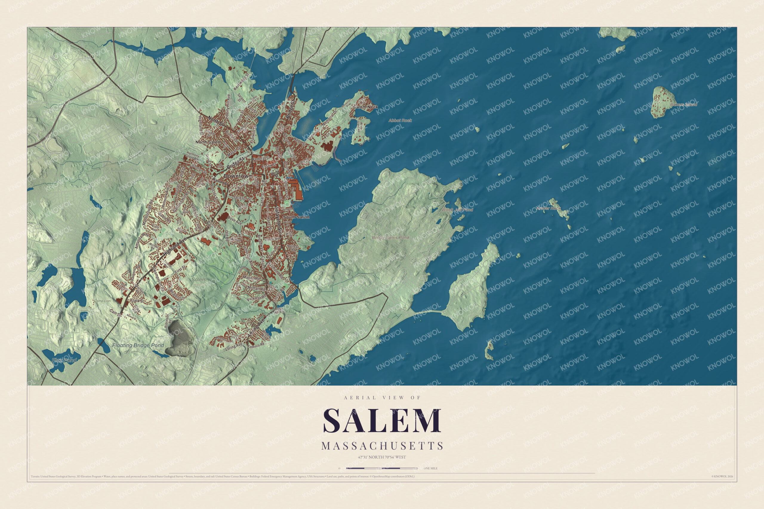
Click to explore a larger preview. The digital watermark does not appear on printed maps.
Names on this map
These names are printed on this map.
Places: Downtown, Abbot Rock, Archer Rock, Bakers Island, Black Joe Pond, Bobby Harris Pond, Flax Pond, Floating Bridge Pond, Camp Lion, Salem Woods, North Salem, Salem Neck and South Salem.
Streets and roads: Highland Avenue, Lafayette Street, Bridge Street, North Street, Loring Avenue, Boston Street, Jackson Street, Derby Street, Marion Road, Essex Street, Memorial Drive, Franklin Street.
More street names, A to Z
Amanda Way, Barnes Road, Belleau Road, Belleview Avenue, Broad Street, Broadway, Buffum Street, Cabot Farm Street, Cabot Street, Cain Street, Canal Street, Cedar Street, Charles Street, Clark Avenue, Clark Street, Cliff Street, Congress Street, Cross Street, Crowdis Street, Dearborn Street, Dove Avenue, Dunlap Street, English Street, Federal Street, Felt Street, Fillmore Road, First Street, Forest Avenue, Fort Avenue, Francis Road, Gallows Hill Road, Grove Street, Hanson Street, Harmony Grove Road, Hazel Street, Highland Street, Hillside Avenue, Howard Street, Jefferson Avenue, Kernwood Street, Lafayette Place, Lee Street, Leggs Hill Road, Liberty Hill Avenue, Lincoln Road, Linden Avenue, Loring Hills Avenue, Lovett Street, Marlborough Road, Mason Street, Michael Road, Mill Street, Moffatt Road, Monroe Road, Mooney Road, Nurse Way, Oak Street, Olde Village Drive, Old Road, Ord Street, Orne Street, Parlee Street, Pickman Road, Pingree Street, Pleasant Street, Proctor Street, Puritan Road, Ravenna Avenue, Raymond Road, Restaurant Row, Robinson Road, Russell Drive, Sable Road, Salem Street, Sargent Street, Summer Street, Summit Street, Sutton Avenue, Swampscott Road, Szetela Lane, Tedesco Road, Traders Way, Union Street, Valley Street, Vista Avenue, Washington Square East, Weatherly Drive, Webb Street, Whalers Lane, Willow Avenue, Willson Road, Willson Street, Winter Island Road, Wyman Drive.
See it on a wall
The Salem map as a framed print. Swipe for more.


Around the map
Follow Derby Street, Essex Street, Bridge Street, Lafayette Street, North Street or Highland Avenue across the city. Then look outward toward North Salem, Salem Neck, South Salem and the ponds, islands and coastline around them. Bakers Island, Black Joe Pond, Bobby Harris Pond, Flax Pond, Floating Bridge Pond, Abbot Rock, Archer Rock and Camp Lion are all printed on the map. The Bertram family’s mansion at 370 Essex Street became the Salem Public Library, and Salem Hospital moved to Highland Avenue in 1917. Lafayette Street runs south past the campus of Salem State University, founded in 1854 as the Salem Normal School. Salem Neck reaches into the harbor, and a causeway joins it to Winter Island, where Fort Pickering was first built in 1643 and the frigate USS Essex was built in 1799. The willows at Salem Willows were planted in 1801, and the area became a public park in 1858. Out on Bakers Island, a light station was set up in 1791, and its round stone tower dates from 1820. Camp Lion is conservation land east of Spring Pond.
The Salem map makes a fine addition to an office, library or den, and it can help teach children the geography and history of a port that traded with the world. It’s made for people who call Salem home, from Salem Neck to South Salem, and it shows the city as it looks today. Zoom in on the preview above to explore the details, then click here to get your copy of the Salem, Massachusetts map.

Sources