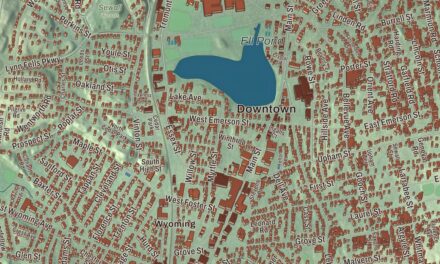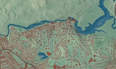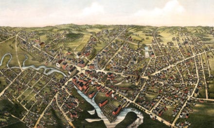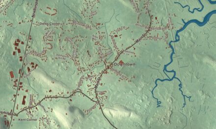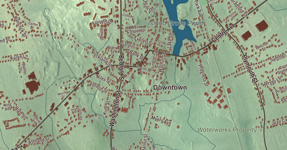
If you grew up in Abington, you know the pond at Island Grove, the trails around Cleveland Pond and Washington Street. This map prints them all, along with Bedford Street, Centre Avenue, North Avenue and Randolph Street, Ames Nowell State Park, and the smaller waters of Cushing Pond, Hobart Pond, Studleys Pond and Hunts Pond. Click here to purchase a print of this map for your wall.
Abington is in Plymouth County, an inland town of the South Shore.
KNOWOL made this map in 2026 from public survey data and gave it the look of an old atlas. The shaded terrain around Locust Hill and Hobart Meadow comes from United States Geological Survey elevation data, and the roads and the town line come from the Census Bureau. The town had 17,062 people at the 2020 census, and it’s bordered by Holbrook, Weymouth, Rockland, Whitman and Brockton.
Shaking grass and a governor’s thanks
Long before any English settler arrived, the native people called this place Manamooskeagin, “great green place of shaking grass,” and the Dyer Memorial Library notes that the town seal carries the name today. The library’s history says the land lay in a buffer strip claimed by both the Massachusett and the Wampanoag, and that Plymouth Colony’s early land grants ran along the Satucket Path, a native trail between a winter camp at Weymouth and a summer camp at Robbins Pond in East Bridgewater. Over time that path became Washington Street and Adams Street. The first settler of record, Andrew Ford of Weymouth, came in the 1660s and built his house on a knoll above the “Stepping Over Place” on the Schumatuscacant River, where Adams and Washington streets now fork. The state’s list of settlement dates gives 1668.
The Town of Abington’s history says Governor Joseph Dudley gave the town its name in 1706, that it was incorporated in 1712, and that by then 17 homes had been built here (the Dyer Memorial Library counts about 20 families at incorporation). Dudley chose the name as a tribute to Anne Venables-Bertie, Countess of Abingdon, who had helped him win the governorship from Queen Anne. His petition asked that “the Town be named Abingdon,” but a note in the margin spelled it Abington, and that spelling stuck. The library dates the incorporation to June 10, 1712, and on June 10, 2012, Abington celebrated the 300th anniversary of its incorporation.
A shoe town
An iron foundry opened in 1769, and in 1815 Jesse Reed invented a machine that mass-produced tacks, which led to the shoe industry’s start in town. The town’s history and the regional visitor bureau both say shoemaking became Abington’s first major industry in 1820 and continued into the twentieth century. The Dyer Memorial Library traces the trade back further, to shoes made by hand in small “ten-footer” shops through the 1700s, using leather from tanneries in the area. In 1858 Lyman R. Blake, an Abington shoemaker, patented what the library calls the first machine able to sew the soles of shoes to the uppers with satisfactory results, and Gordon McKay bought the rights and patented an improved version. During the Civil War, Abington factories supplied nearly half of the Union Army’s footwear. Beaver Brook, which runs through the eastern part of town, gave much of the water power the shoe factories used.
In 1874 and 1875 the eastern and southern villages left to become the towns of Rockland and Whitman. In North Abington, after a dispute over the town’s right to run a streetcar line across the railroad’s tracks, the town built the line, and the railroad built a depot in the style of H. H. Richardson as a “peace offering.” Abington’s notable people include Sarah Louise Arnold, the first dean of Simmons College and a national president of the Girl Scouts, and Martha Ware, listed as the first female selectman and first female judge of Plymouth County.
Island Grove
Island Grove Pond was made by damming the Shumatuscacant River, and Island Grove Park is a 17-acre parcel whose main feature is a peninsula reaching into it. From 1846 to 1865 the grove was a center of the fight against slavery. William Lloyd Garrison led the first open-air anti-slavery picnic here on August 1, 1846, held in honor of Emancipation Day, and after the Old Colony line opened through North Abington in November 1845, special trains ran from Boston and Plymouth. Speakers included Sojourner Truth, Frances Ellen Watkins Harper, William Wells Brown, Henry “Box” Brown, Ellen and William Craft and Charles Lenox Remond, among them people who had escaped slavery. The last of these meetings, on July 27, 1865, welcomed Abington’s soldiers home from the war. A granite boulder with a bronze plaque marks the place where the speakers stood; it was set on Memorial Day 1909 through the work of Captain Moses N. Arnold, who had come to the meetings as a boy with his father. The park was listed on the National Register of Historic Places in 2002. Click here to learn more about the history of Abington.
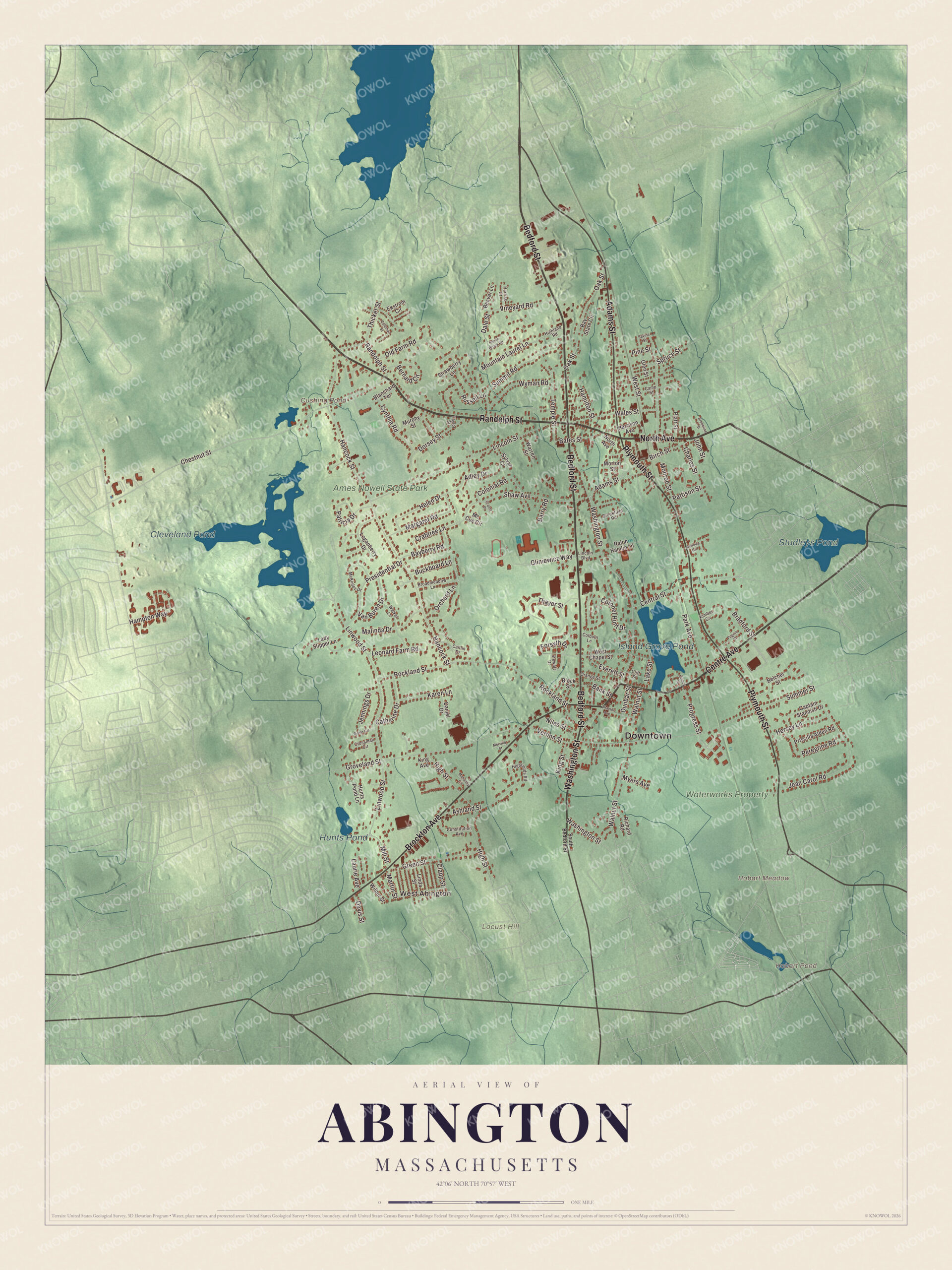
Click to explore a larger preview. The digital watermark does not appear on printed maps.
Names on this map
These names are printed on this map.
Places: Downtown, West Abington, Hobart Meadow, Locust Hill, Cushing Pond, Hobart Pond, Cleveland Pond, Island Grove Pond, Studleys Pond, Hunts Pond, Waterworks Property and Ames Nowell State Park.
Streets and roads: Bedford Street, Randolph Street, Centre Avenue, North Avenue, Washington Street, Brockton Avenue, Plymouth Street, Adams Street, Chestnut Street, Groveland Street, Hampton Way, Temple Street.
More street names, A to Z
Adley Drive, Ashland Street, Bank Street, Barry Road, Bates Street, Bayberry Road, Bay State Circle, Beaver Lane, Belcher Street, Bellows Circle, Bernard Circle, Birch Street, Blanchard Terrace, Block Street, Bradford Street, Broadmeadow Lane, Brookfield Road, Brookline Street, Buckboard Lane, Caitlin Drive, Camp Street, Captain Standish Drive, Catherine Drive, Central Street, Charles Street, Clapp Street, Cliff Street, Colburn Lane, Coleman Street, Colonel Hunt Drive, Colonial Road, Constitution Avenue, Crabtree Lane, Crossman Circle, Cynthia Road, Dale Street, Daniel Drive, Davis Street, Diane Circle, Dorsey Street, Dunbar Street, Ekstrom Circle, Everett Street, Forsyth Drive, Glen Street, Gliniewicz Way, Grants Place, Green Street, Hamilton Street, Hancock Street, Harrison Avenue, Harriss Court, Helen Drive, Hersey Lane, Highfields Road, Highland Road, High Street, Hunts Pond Lane, Indian Brook Road, Jean Carol Road, Jennings Drive, John Street, Karen Lane, Kimber Circle, King Avenue, King Street, Lady Slipper Lane, Lake Street, Laurie Avenue, Leonard Farm Road, Lincoln Boulevard, Lincoln Street, Linda Street, Linwood Street, Loganberry Drive, Mahoney Circle, Malinda Drive, Margaret Road, Martin Street, Mc Cue Circle, McKinley Drive, Melville Street, Mill Street, Monroe Street, Morton Street, Mountain Laurel Lane, Murphy Street, Myers Avenue, Niles Street, Oak Street, Old Farm Road, Orange Street, Orchard Lane, Park Avenue, Patricia Drive, Pattison Street, Peregrine Road, Pilgrim Street, Pine Street, Platt Street, Presidential Drive, Priscilla Alden Road, Progress Street, Quincy Street, Ralph Hamlin Lane, Richard Road, Rockland Street, Russell Lane, Savine Street, Shaw Avenue, South Bedford Street, Spruce Street, Stewart Drive, Strawberry Lane, Summer Street, Summit Road, Sylvan Court, Taylor Street, Thaxter Avenue, Thayer Street, Thicket Street, Van Buren Drive, Vernon Street, Vineyard Road, Wales Street, Walker Lane, Walnut Street, Warren Street, West Chapel Street, West Street, Wilbur Street, Wyman Road.
See it on a wall
The Abington map as a framed print. Swipe for more.


Around the map
Start in the northwest corner, where Ames Nowell State Park covers 612 acres around Cleveland Pond, a man-made pond used for boating and fishing. The park’s stone walls, two wagon bridges and two quarries date from the 1600s and 1700s. The Waterworks Property, Cushing Pond, Hobart Pond, Studleys Pond and Hunts Pond are printed on the map too, along with Locust Hill and Hobart Meadow. Follow Washington Street, Bedford Street, Centre Avenue, North Avenue or Randolph Street across town, then look outward toward West Abington. The Shumatuscacant River forms the western border with Brockton. Most of the town’s people live on the eastern side, closer to the old center, and Island Grove Park sits in the southeast.
This Abington map makes an attractive addition to your office, library or den, and it can help teach children the geography and history of a town where crowds once gathered by a pond to hear the case against slavery. It’s made for people who call Abington home, from Island Grove to Ames Nowell. KNOWOL created it in 2026, and it’s printed on museum quality archival paper. Zoom in on the preview above to explore the details, then click here to get your copy of the Abington, Massachusetts map.

Sources