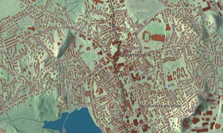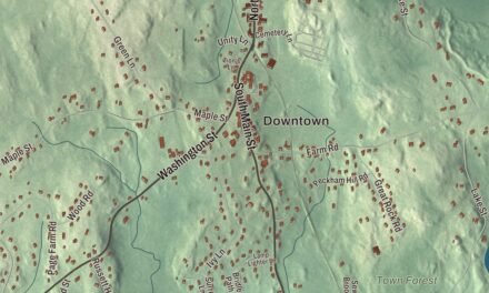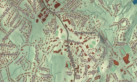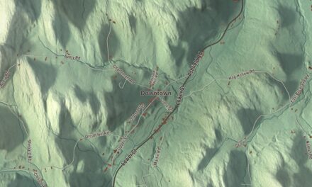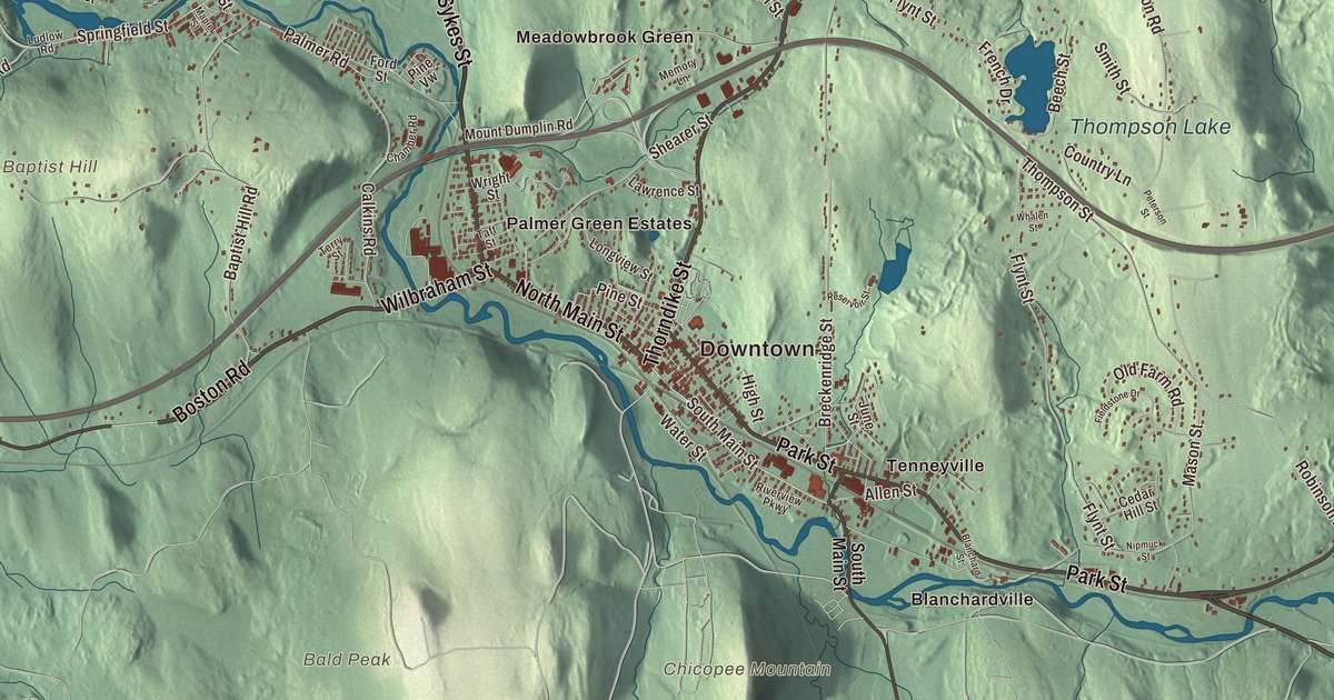
Palmer is really four villages, Depot Village, Thorndike, Three Rivers and Bondsville. This map takes in the whole town, with Boston Road, Sykes Street, Wilbraham Street, Thorndike Street, North Main Street and Main Street printed by name, and Crystal Lake, Forest Lake and Thompson Lake among the water. Click here to purchase a print of this map for your wall.
Palmer is in Hampden County.
KNOWOL made this map in 2026 from public survey data and gave it the look of an old atlas. The ridges come from United States Geological Survey elevation data, and the streets and the town line come from the Census Bureau. Palmer covers 32.0 square miles, bordered by Ludlow, Wilbraham, Belchertown, Ware, Warren, Brimfield and Monson, and it had 12,448 people at the 2020 census. Since its 2004 charter it has had a council-manager government and counts as a city, the least populous in the Commonwealth, yet it’s one of the Massachusetts municipalities that keep “The town of” in their official names.
The Elbow Tract
Palmer was first part of Brimfield. Its first settler, John King, born in Edwardstone in Suffolk, England, built his home on the banks of the Quaboag River in 1716, on land then called the Elbow Tract. The Town of Palmer’s recorded history dates European settlement to 1727. That was the year a large group of Scots-Irish Presbyterians arrived. A 1731 deed called the place New Marlborough, residents called it Kingsfield after John King, and some papers in the General Court still called it the Elbow. In 1752 it took the name Palmer, for John Palmer, a chief justice of the Superior Court of the Dominion of New England. Palmer was incorporated as a town in 1775. The town remains part of Hampden County today.
Four villages and three rivers
Saw and grist mills went up along the rivers in the 1700s, and by 1825 Palmer’s woolen mills were making cloth. The Blanchard Scythe Factory, Wright Wire Woolen Mills and the Holden-Fuller Woolen Mills grew large and built rows of housing for their workers. In Bondsville, Emelius Bond started a mill on the Swift River in 1830; the company later became the Boston Duck Company, which made fabric for raincoats, and by 1900 it had over 500 employees in town. Three Rivers takes its name from the meeting of the Ware and Quaboag rivers, which form the Chicopee River there. In the 20th century the town’s immigrants shifted from mostly French and Scottish to mostly Polish and French-Canadian.
Depot Village grew into the business center in the late 1800s, and it’s named for its Union Station. Three railroads meet at Palmer, and in 1881 the Boston and Albany and the New London Northern hired the architect H. H. Richardson to design one union station for both. It opened in June 1884, built of granite from W. N. Flynt’s quarry in Monson with brownstone trim from Longmeadow, on grounds laid out by Frederick Law Olmsted. Each of the four villages still has its own post office. The blues musician Taj Mahal, who grew up in Springfield, once thought about farming instead of music: he started on a dairy farm in Palmer at 16 and was the farm foreman by 19.
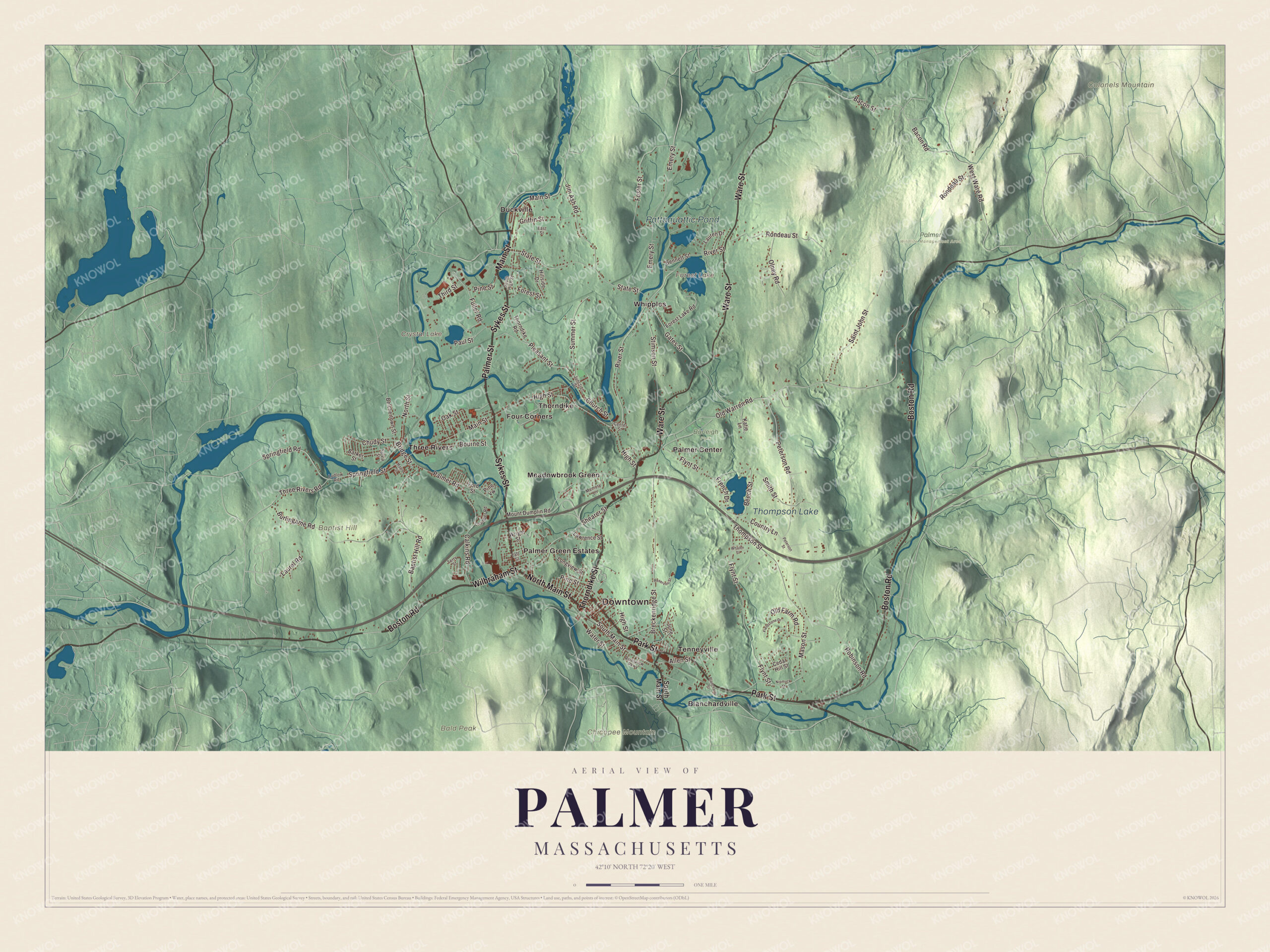
Click to explore a larger preview. The digital watermark does not appear on printed maps.
Names on this map
These names are printed on this map.
Places: Downtown, Bald Peak, Baptist Hill, Chicopee Mountain, Colonels Mountain, Crystal Lake, Forest Lake, Thompson Lake, Pattaquattic Pond, Burleigh Park, Palmer Wildlife Management Area, Blanchardville, Duckville, Four Corners, Meadowbrook Green, Palmer Center, Palmer Green Estates, Tenneyville, Thorndike, Three Rivers and Whipples.
Streets and roads: Boston Road, Sykes Street, Wilbraham Street, Thorndike Street, North Main Street, Main Street, Palmer Street, Ware Street, Park Street, South Main Street, Old Warren Road, Pleasant Street.
More street names, A to Z
Allen Street, Bacon Road, Bacon Street, Baptist Hill Road, Barker Street, Beech Street, Belchertown Street, Bennett Street, Blanchard Street, Bourne Street, Breckenridge Street, Bridge Street, Burlingame Road, Calkins Road, Cedar Hill Street, Center Street, Chamber Road, Chudy Street, Church Street, Country Lane, East Street, Emery Street, Fieldstone Drive, Flynt Street, Ford Street, Forest Lake Road, Forest Street, Foster Street, French Drive, Fuller Road, Gates Street, Griffin Street, High Street, Hillside Drive, Jim Ash Road, Junction Street, June Street, Katie Lane, Laurel Road, Lauren Drive, Lawrence Street, Longview Street, Ludlow Road, Maple Street, Mason Street, Memory Lane, Mount Dumplin Road, Nipmuck Street, North Street, Oak Street, Old Farm Road, Olney Road, Palmer Road, Paul Street, Peterson Road, Peterson Street, Pine Street, Pine Vw, Reservoir Street, River Street, Riverview Parkway, Robinson Road, Rondeau Street, Saint John Street, Shearer Street, Smith Street, South High Street, Springfield Road, Springfield Street, State Street, Stimson Street, Summer Street, Sylvia Street, Taft Street, Terry Street, Third Street, Thompson Street, Thorndike Road, Three Rivers Road, Water Street, West Ware Road, Whalen Street, Wright Street.
Around the map
Start with Blanchardville, then follow Boston Road, Sykes Street, Wilbraham Street, Thorndike Street, North Main Street and Main Street across town. Then look outward toward Duckville, Four Corners, Meadowbrook Green, Palmer Center and Tenneyville. Crystal Lake, Forest Lake, Thompson Lake, Pattaquattic Pond, Bald Peak, Baptist Hill and Chicopee Mountain are printed on the sheet as well. Palmer Motorsports Park opened in May 2015 at West Ware Road and Bacon Road, a 2.3-mile road course with 190 feet of elevation change and 14 turns, and Road & Track magazine named it one of the top 10 racetracks to drive in North America.
The Palmer map makes a fine addition to an office, library or den, and it can help teach children the geography and history of a railroad and mill town where three rivers meet. It’s made for people who call Palmer home, from Bondsville to Three Rivers, and it shows the town as it looks today. Zoom in on the preview above to explore the details, then click here to get your copy of the Palmer, Massachusetts map.

We made a map for every town and city in Massachusetts. Explore the complete Massachusetts map collection and find your town.
Sources
- Palmer, Massachusetts, Wikipedia
- Bondsville, Massachusetts, Wikipedia
- Three Rivers, Massachusetts, Wikipedia
- Union Station (Palmer, Massachusetts), Wikipedia
- Taj Mahal (musician), Wikipedia
- Palmer Motorsports Park, Wikipedia
- City and Town Incorporation and Settlement Dates, Secretary of the Commonwealth of Massachusetts (archived copy)