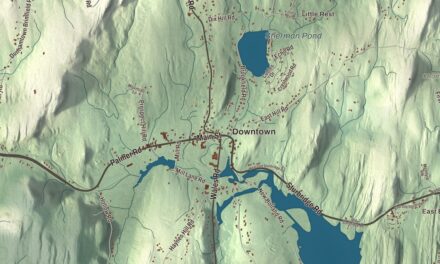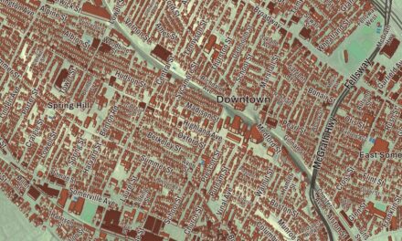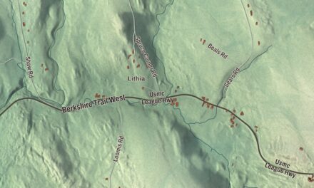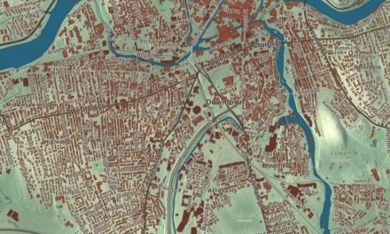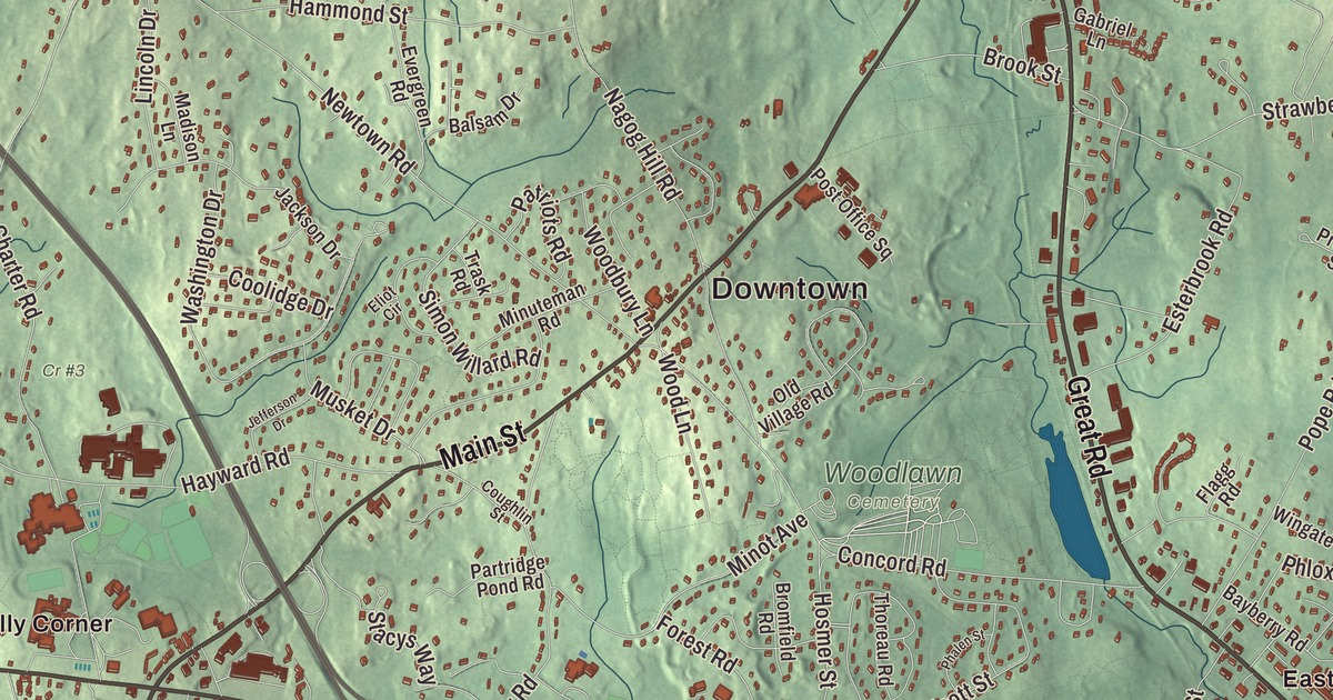
Acton grew up as five villages, and this map takes in all of them. Main Street, Massachusetts Avenue, Great Road, Central Street, Arlington Street and Canterbury Hill Road are printed by name, and so are Nagog Pond, Fort Pond, Barkers Pond, the Assabet River Reservoir and Annursnac Hill, Faulkner Hill, Flagg Hill and Canterbury Hill. Click here to purchase a print of this map for your wall.
Acton is in Middlesex County, about 21 miles west-northwest of Boston.
KNOWOL made this map in 2026 from public survey data and gave it the look of an old atlas. The shaded terrain comes from United States Geological Survey elevation data. The land itself took its shape when the last glaciers retreated about ten thousand years ago, and Acton has nine drumlins, hills made of glacial till, and kettle ponds such as Grassy Pond and Wills Hole. The roads and the town line come from the Census Bureau. Acton had 24,021 people in April 2020.
Grazing land for Concord
Native people lived here for a very long time; the town page cites evidence of settlements going back 7,000 years, along the Assabet, Sudbury and Concord rivers. When Concord was founded as the first inland town of the Massachusetts Bay Colony, its bounds took in all of Acton, and Concord’s settlers used this land to graze their animals. The first homestead inside today’s town line went up in 1639. The Town of Acton’s recorded history dates European settlement to 1680 in the state’s list of settlement dates, and Acton was incorporated as a town in 1735, on July 3. Town meetings have met every year since then, and their records are kept at the Acton Memorial Library. The town remains part of Middlesex County today.
The oldest colonial building still standing in Acton is the Faulkner House in South Acton, which the town page dates to 1707. It was built for Ephraim Jones, who founded a textile business and mills there in 1702, and it served as a garrison house during Queen Anne’s War. The Faulkner family bought the house and mills in 1742 and kept them for six generations, running a fulling mill for woolen cloth across the road. A short walk away, Jones Tavern at 128 Main Street was built in 1732 as a home for Samuel Jones Jr. and had become a tavern and store by 1750; it’s believed to be the first store in Acton. Local residents saved it from demolition in 1964, and both buildings are now kept by Iron Work Farm in Acton, a nonprofit.
Captain Isaac Davis
On the night of April 18, 1775, Dr. Samuel Prescott brought the alarm to Acton, and at the Faulkner House, Major Francis Faulkner fired three shots to call out the militia. Acton’s company of minutemen was led by Isaac Davis, a gunsmith born in West Acton, who had outfitted nearly every man with a bayonet and a cartridge box and trained them on a shooting range behind his house. The next morning at the North Bridge in Concord, his company was chosen to lead the advance, which his biography credits to the bayonets. Captain Davis was heard to say, “I haven’t a man who is afraid to go.” He and Private Abner Hosmer of Acton were killed in the exchange of fire, and Davis was the first American officer to die in the Revolutionary War. Acton remembers him with the Isaac Davis Monument on the Acton Town Common, and his biography says he inspired Daniel Chester French’s Minute Man statue at the Old North Bridge. People in Acton put the day this way: “the battle of Lexington, fought in Concord, by men of Acton.”
Mills, rails and villages
By the middle of the 1800s Acton was a center for making barrels, with a powder mill, three gristmills and four sawmills. The American Powder Mills made gunpowder along the Assabet River from 1835 to 1940. The Fitchburg Railroad reached town on October 1, 1844, routed through South and West Acton to serve the mills, and South Acton became a busy rail center. That’s how the villages got their names: Acton Center has been the civic center since the Revolution, while the town page says the other four took their names from their railroad stations. In 1890 the Memorial Library was completed on Main Street, the gift of William Allan Wilde, as a memorial to Acton’s Civil War soldiers. Click here to learn more about the history of Acton.
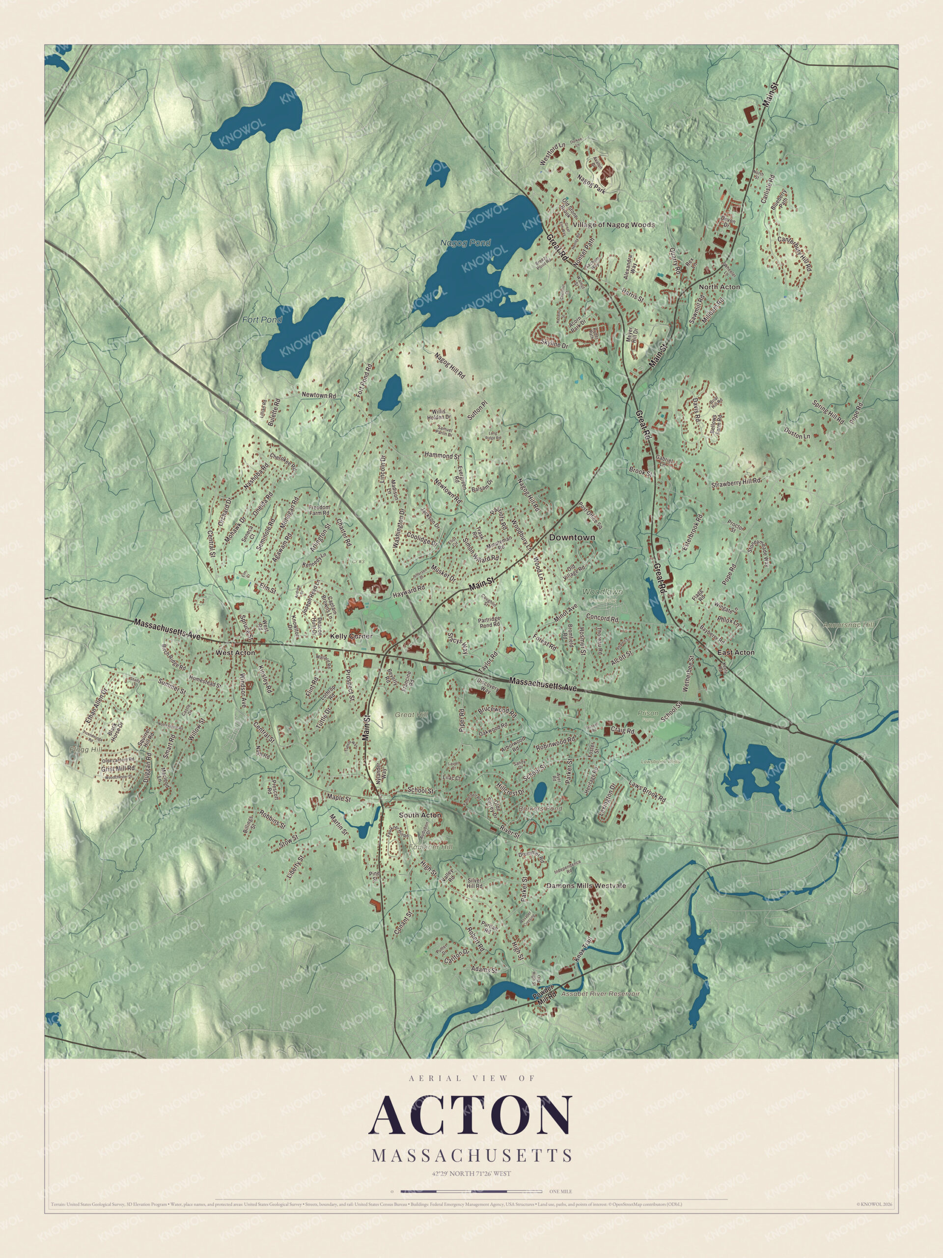
Click to explore a larger preview. The digital watermark does not appear on printed maps.
Names on this map
These names are printed on this map.
Places: Downtown, Village of Nagog Woods, North Acton, Damons Mills Westvale, Annursnac Hill, Faulkner Hill, Flagg Hill, Great Hill, Assabet River Reservoir, Barkers Pond, Nagog Pond, Fort Pond, Cr #3, Lawsbrook Wells, Prison Farm, Woodlawn Cemetery, East Acton, Kelly Corner, South Acton, West Acton and Nagog Park.
Streets and roads: Massachusetts Avenue, Main Street, Great Road, Canterbury Hill Road, Central Street, Arlington Street, School Street, Pope Road, Newtown Road, Nagog Hill Road, Parker Street, High Street.
More street names, A to Z
Acorn Park Drive, Adams Street, Agawam Road, Alcott Street, Alexandra Way, Andrew Drive, Arborwood Road, Assabet Crossing, Audubon Drive, Avalon Drive, Ayer Road, Balsam Drive, Bayberry Road, Bellows Farm Road, Beverly Road, Billings Street, Birch Ridge Road, Black Horse Drive, Blueberry Path, Breezy Point Road, Briar Hill Road, Bromfield Road, Brook Street, Brucewood Road, Bulette Road, Captain Browns Lane, Carlisle Road, Carlton Drive, Castle Drive, Charter Road, Cherokee Road, Chestnut Street, Conant Street, Concord Road, Coolidge Drive, Coughlin Street, Craig Road, Davis Road, Deacon Hunt Drive, Devon Drive, Discovery Way, Drummer Road, Duggan Road, Durkee Lane, Duston Lane, Eliot Circle, Elm Court, Elm Street, Esterbrook Road, Ethan Allen Drive, Evergreen Road, Faulkner Hill Road, Flagg Road, Flint Road, Forest Road, Fort Pond Road, Foster Street, Francine Road, Freedom Farm Road, Gabriel Lane, Great Elm Way, Grist Mill Road, Hammond Street, Harris Street, Hayward Road, Hazelnut Street, Henley Road, Heritage Road, Hillcrest Drive, Homestead Street, Hosmer Street, Independence Road, Jackson Drive, Jefferson Drive, Joseph Reed Lane, Keefe Road, Kennedy Lane, Kinsley Road, Knowlton Drive, Knox Trail, Laurel Court, Laws Brook Road, Lexington Drive, Liberty Street, Lilac Court, Lillian Road, Lincoln Drive, Long Ridge Road, Lothrop Road, Macleod Lane, Madison Lane, Mallard Road, Maple Street, Martin Street, Meyer Hill Drive, Milldam Road, Minot Avenue, Minuteman Road, Mohawk Drive, Mohegan Road, Musket Drive, Nashoba Road, Nash Road, Nonset Path, North Street, Notre Dame Road, Nylander Way, Oakwood Road, Olde Lantern Road, Olde Surrey Drive, Old High Street, Old Stone Brook, Old Village Road, Oneida Road, Orchard Drive, Partridge Pond Road, Patriots Road, Phalen Street, Phlox Lane, Pine Street, Piper Road, Post Office Square, Powder Mill Road, Prescott Road, Proctor Street, Prospect Street, Puritan Road, Putter Drive, Quarry Road, Rex Lane, River Street, Robbins Street, Robert Road, Robinwood Road, Russell Road, Ryder Path, Sachem Way, Samuel Parlin Drive, Sandy Drive, Sawmill Road, Seminole Road, Seneca Court, Shady Lane, Silver Hill Road, Simon Willard Road, Skyline Drive, Smart Road, Spring Hill Road, Spruce Street, Squirrel Hill Road, Stacys Way, Stoneymeade Way, Stow Street, Strawberry Hill Road, Summer Street, Sutton Place, Taylor Road, Thoreau Road, Ticonderoga Road, Trask Road, Tupelo Way, Tuttle Drive, Valley Road, Vanderbelt Road, Walnut Street, Washington Drive, Westford Lane, West Road, Wetherbee Street, Wheeler Lane, Willis Holden Drive, Willow Street, Windsor Avenue, Wingate Lane, Woodbury Lane, Woodchester Drive, Wood Lane.
See it on a wall
The Acton map as a framed print. Swipe for more.


Finding the villages
Start with the Village of Nagog Woods in North Acton, a housing development off Route 2A large enough to have its own ZIP code. Nagog Pond, in the north of town, forms Acton’s border with Littleton and supplies drinking water to Concord, and homes along Great Road draw their water from the mains that carry it there. Canterbury Hill is part of a group of four conservation areas in North Acton, more than 600 acres together, crossed by Acton’s piece of the Bay Circuit Trail. Then look outward toward North Acton, Damons Mills Westvale, East Acton, Kelly Corner and South Acton. Follow Massachusetts Avenue, Main Street, Great Road, Canterbury Hill Road, Central Street or Arlington Street across town. Fort Pond, Barkers Pond, Annursnac Hill, Faulkner Hill, Flagg Hill and the Assabet River Reservoir are all printed on the map. In South Acton, the Assabet River Rail Trail starts at the train station and runs toward Maynard.
This Acton map makes an attractive addition to your office, library or den, and it can help teach children the geography and history of the town whose minutemen led the march to the North Bridge. It’s made for people who call Acton home, from Nagog Pond to South Acton. KNOWOL created it in 2026, and it’s printed on museum quality archival paper. Zoom in on the preview above to explore the details, then click here to get your copy of the Acton, Massachusetts map.

Sources
- Acton, Massachusetts, Wikipedia
- Isaac Davis (soldier), Wikipedia
- Faulkner House (Acton, Massachusetts), Wikipedia
- Jones Tavern, Wikipedia
- Acton Memorial Library, Wikipedia
- Assabet River Rail Trail, Wikipedia
- City and Town Incorporation and Settlement Dates, Secretary of the Commonwealth of Massachusetts (archived copy)