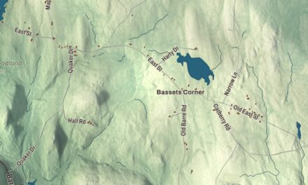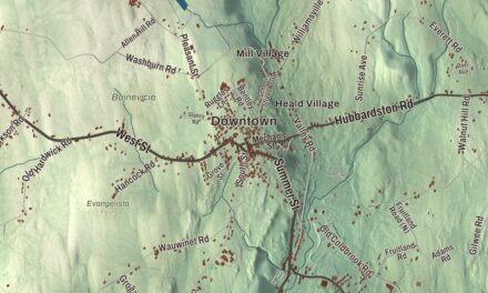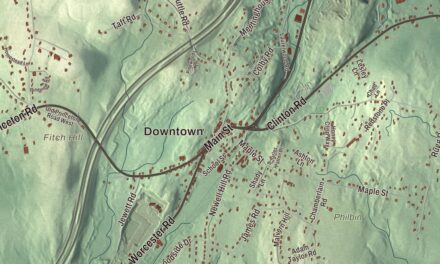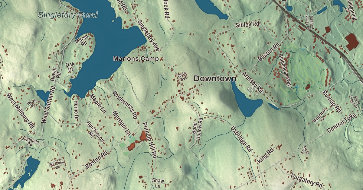
This aerial map of Sutton, Massachusetts was created in 2026 using real geographic data to bring the town’s streets, buildings, neighborhoods, ponds and waterways, mountains and ridgelines, and terrain together in one highly detailed view. Look closer and you can pick out the familiar places that make Sutton feel like home. Start with the street you know, then see how it connects to the rest of the Sutton you call home. Click here to purchase a print of this map for your wall.
Explore an aerial view of Sutton, Massachusetts
Start with Downtown and East Sutton. Follow Worcester-Providence Turnpike, Providence Road, Lincoln Road, Main Street, Hough Road, and Central Turnpike across town. Then look outward toward Manchaug, South Sutton, West Sutton, and Wilkinsonville.
Aldrich Pond, Manchaug Pond, Singletary Pond, Freeland Hill, Goat Hill, Grass Hill, and Blackstone River Reservoir are all labeled on the map. Every one of those names is printed directly on the artwork, giving you plenty to explore.
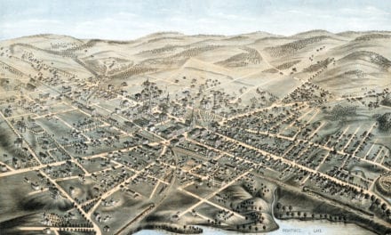
The Town of Sutton’s recorded history dates European settlement to 1704. Sutton was incorporated as a town in 1714. The town remains part of Worcester County today. Click the image below to see the area as it looked in 2026.
Take a closer look at the Sutton map
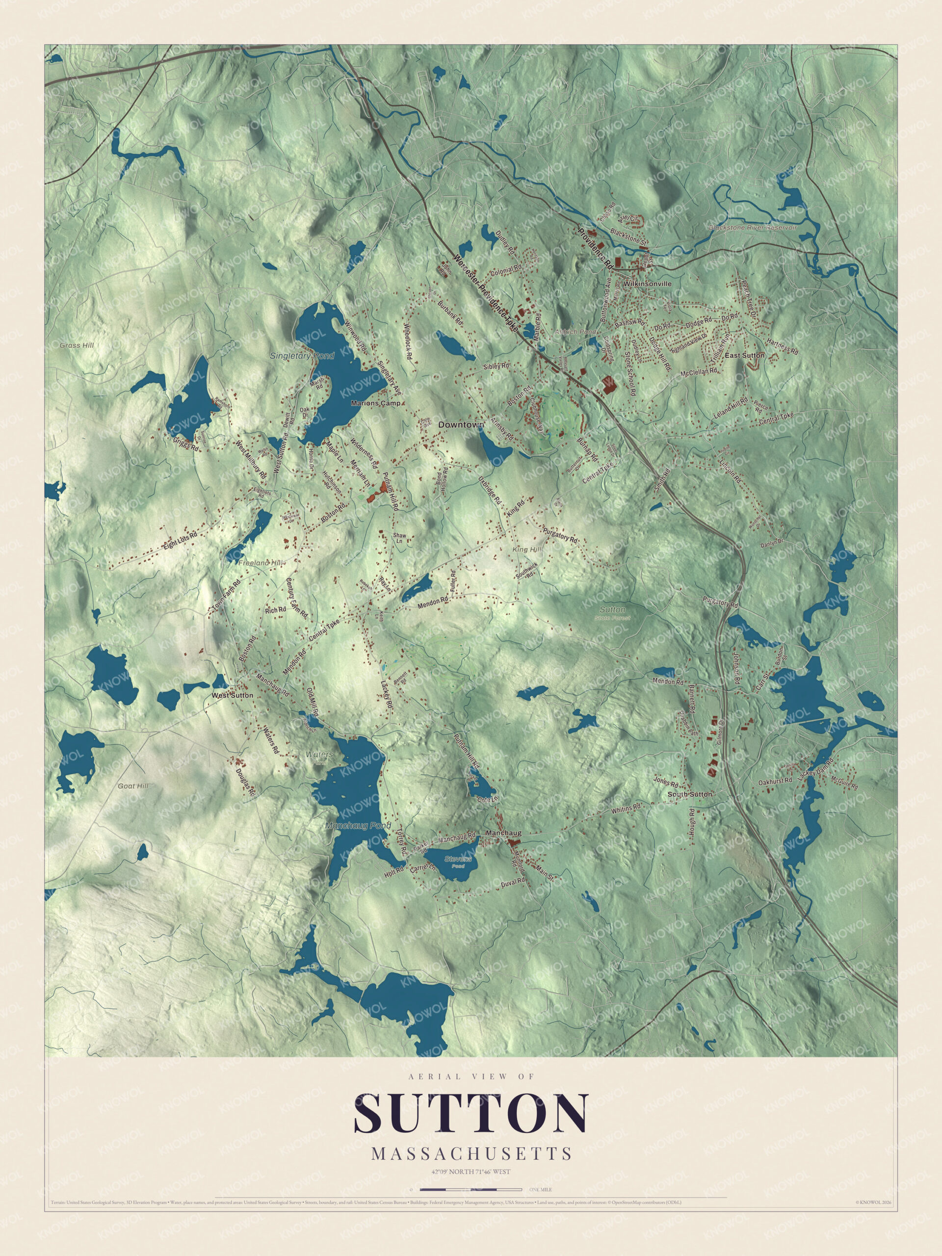
Click to explore a larger preview. The digital watermark does not appear on printed maps.
Names on this map
These names are printed on this map.
Places: Downtown, Freeland Hill, Goat Hill, Grass Hill, King Hill, Aldrich Pond, Blackstone River Reservoir, Manchaug Pond, Singletary Pond, Stevens Pond, Sutton State Forest, Waters Farm, East Sutton, Manchaug, Marions Camp, South Sutton, West Sutton and Wilkinsonville.
Streets and roads: Worcester-Providence Turnpike, Providence Road, Lincoln Road, Main Street, Hough Road, Central Turnpike, Boston Road, Mendon Road, Putnam Hill Road, West Sutton Road, Manchaug Road, Eight Lots Road.
More street names, A to Z
Alana Drive, Aldrich Lane, Ariel Circle, Armsby Road, Barnett Road, Bashaw Road, Bennett Road, Blackstone Street, Bond Hollow Road, Burbank Road, Burdon Street, Burnap Road, Butternut Drive, Buttonwood Avenue, Carrier Lane, Carr Street, Century Farm Road, Chase Road, Clubhouse Way, Coldspring Drive, Cole Avenue, Colonial Road, Cote Lane, Danlyn Drive, Depot Street, Dewitt Road, Dodge Hill Road, Dodge Road, Do Road, Douglas Road, Dudley Lane, Dudley Road, Duval Road, Eightlots Road, Fuller Road, Gilmore Drive, Griggs Road, Hartness Road, Heritage Road, Highland View Drive, Holt Road, Horne Drive, Hutchinson Road, Jenna Lane, John Road, Johnson Road, Jones Road, Judith Circle, Keith Lane, King Road, Lackey Dam Road, Lackey Road, Leland Hill Road, Maple Lane, Marble Road, Marsh Road, McClellan Road, McGuire Road, Merriam Lane, Merrill Road, Mumford Road, Oak Drive, Oakhurst Road, Old Mill Road, Parker Road, Peach Tree Drive, Pierce Road, Pleasant Valley Road, Purgatory Road, Quabbin Path, Ramshorn Road, Ray Lane, Rebekah Lane, Rich Road, Shaw Lane, Sibley Road, Silver Ledge Drive, Singletary Avenue, Smith Road, Southwick Road, Steven Drive, Stone School Road, Sunrise Drive, Torrey Road, Town Farm Road, Trilliam Run, Tucker Lane, Uxbridge Road, Viola Terrace, Waters Road, Welsh Road, West Millbury Road, Westview Drive, Wheelock Road, Whitins Road, Wilderness Road, Winwood Road, Wunschel Drive.
We designed the artwork at KNOWOL using Sutton’s real streets, buildings, neighborhoods, ponds and waterways, mountains and ridgelines, and terrain, the town boundary, and the way buildings spread across the town. Then we chose the color, relief, lettering, and layout that make the map look great on the wall.
This beautifully detailed map of Sutton makes an attractive addition to your office, library, or den and can even be used to teach children the geography and history of the area. When you’re done exploring, click here to get your copy of the Sutton, Massachusetts map.

We made a map for every town and city in Massachusetts. Explore the complete Massachusetts map collection and find your town.