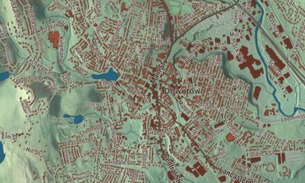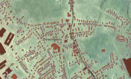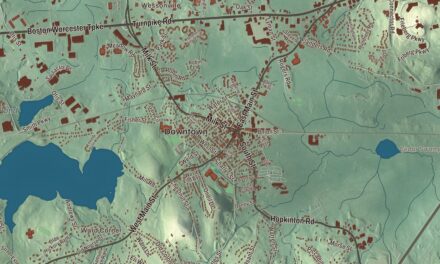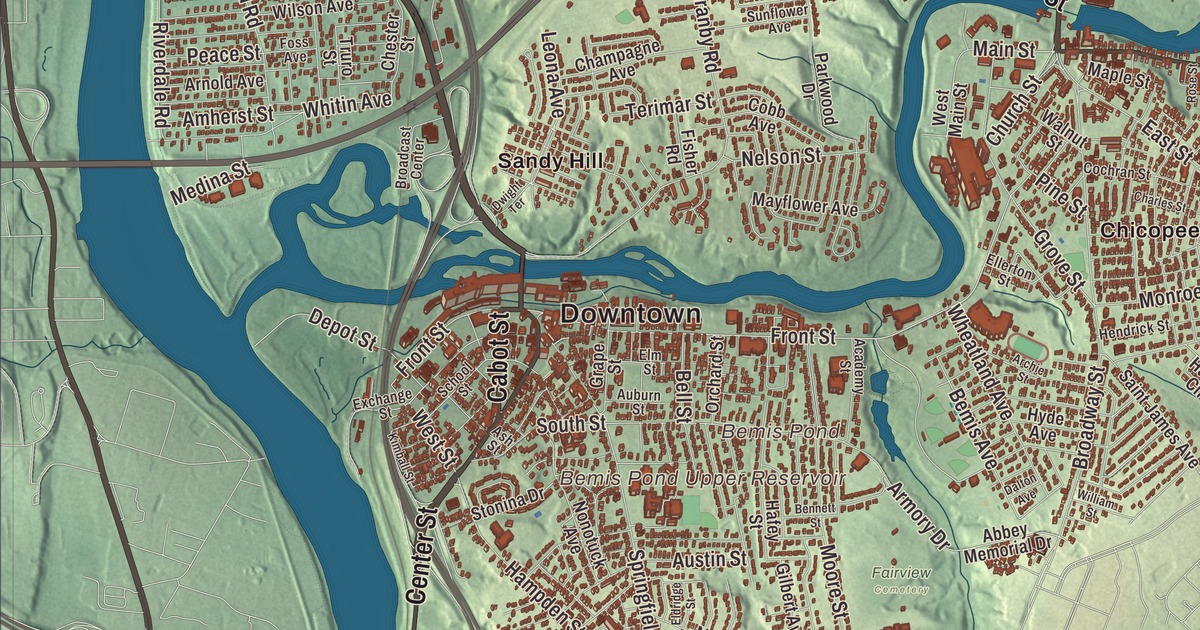
Chicopee is a city built around several old mill villages on its namesake river, among them Chicopee Falls, Willimansett, Fairview, Aldenville and the old Cabotville around Chicopee Center. This map prints Chicopee Street, Grattan Street, Cabot Street, Memorial Drive, Center Street and East Main Street, with Bemis Pond, the Bemis Pond Upper Reservoir and the Chicopee River Reservoir. Click here to purchase a print of this map for your wall.
Chicopee is a city on the Connecticut River in Hampden County, the second-largest city in western Massachusetts after Springfield.
KNOWOL made this map in 2026 from public survey data and gave it the look of an old atlas. The relief comes from United States Geological Survey elevation data, and the streets and the city line come from the Census Bureau. Chicopee covers 23.9 square miles, about a square mile of it water, and the Chicopee River runs through the southern part of the city to meet the Connecticut. The city had 55,560 people at the 2020 census.
From Springfield’s precincts to a city
The name comes from the Nipmuc language, likely from words for “violently” and a water place, or from a word meaning “of red cedar.” The City of Chicopee’s recorded history, in the Secretary of the Commonwealth’s list, dates European settlement to 1652. The city’s own page traces the land to William Pynchon’s purchases from 1636 on and, through local historian Charles J. Seaver, dates the first settlement above the falls to 1660. According to Winthrop McKinstry, the sons of Deacon Samuel Chapin appear to have been the first to build homes, and the Chapin family dominated the land north of the river for the settlement’s first 70 years. Colonists put up a sawmill at the falls in 1678, the first industry on the river.
Until 1848 this was the northern part of Springfield. In 1750 Japhet Chapin filed a petition, signed by 49 residents, that won the area its own parish and meetinghouse, the earliest move toward separating from Springfield. When Springfield moved toward a city charter in 1848, 700 residents of Cabotville, Chicopee Falls, Chicopee Street and Willimansett signed a petition for a town of their own. Chicopee was incorporated as a town in 1848, on April 29, when Governor George N. Briggs signed the act. It was incorporated as a city in 1890, and George Sylvester Taylor took office as the first mayor in January 1891.
Various industries
The city’s motto, “Industriae Variae,” means “Various Industries.” The Chicopee River drops 260 feet on its 18-mile run to the Connecticut, and between 1823 and 1841 the Boston Associates built four textile companies along it with two power canals. By 1875 nearly one in four people in Chicopee worked in cotton goods, mostly at the Chicopee Manufacturing Company in Chicopee Falls and the Dwight Manufacturing Company in Chicopee Center. In the 19th century Chicopee was home to the first American maker of friction matches. Brothers Nathan P. Ames Jr. and James T. Ames moved their tool and cutlery business here in 1829, and the Ames Manufacturing Company made swords, cannon and cannonballs, cast the bronze doors of the Capitol’s East Wing and Daniel Chester French’s Minuteman statue at the Lexington-Concord bridge, and was one of the U.S. Army’s most important makers of side arms, swords and light artillery in the Civil War.
Later came bicycles from the Overman Wheel Company, sporting goods from A. G. Spalding and tires from the Fisk Rubber Company of Chicopee Falls, whose pajama-clad boy holding a candle and a tire, with the line “Time to Re-Tire,” was drawn in 1910. In the 1920s the Chicopee plant was turning out 5,000 tires a day.
Edward Bellamy’s house
Edward Bellamy was born in Chicopee in 1850 and grew up in the house at 91 to 93 Church Street in Chicopee Falls, where his father, the local Baptist minister, moved the family when Edward was a baby. He came back to it after his studies and a short stint working in New York City, did much of his writing in his father’s study, and in those years there wrote Looking Backward, published in 1888, the third best-selling novel of the 19th century in the United States. The Edward Bellamy Memorial Association bought and restored the house in the 1970s, and it’s now a National Historic Landmark and a house museum.
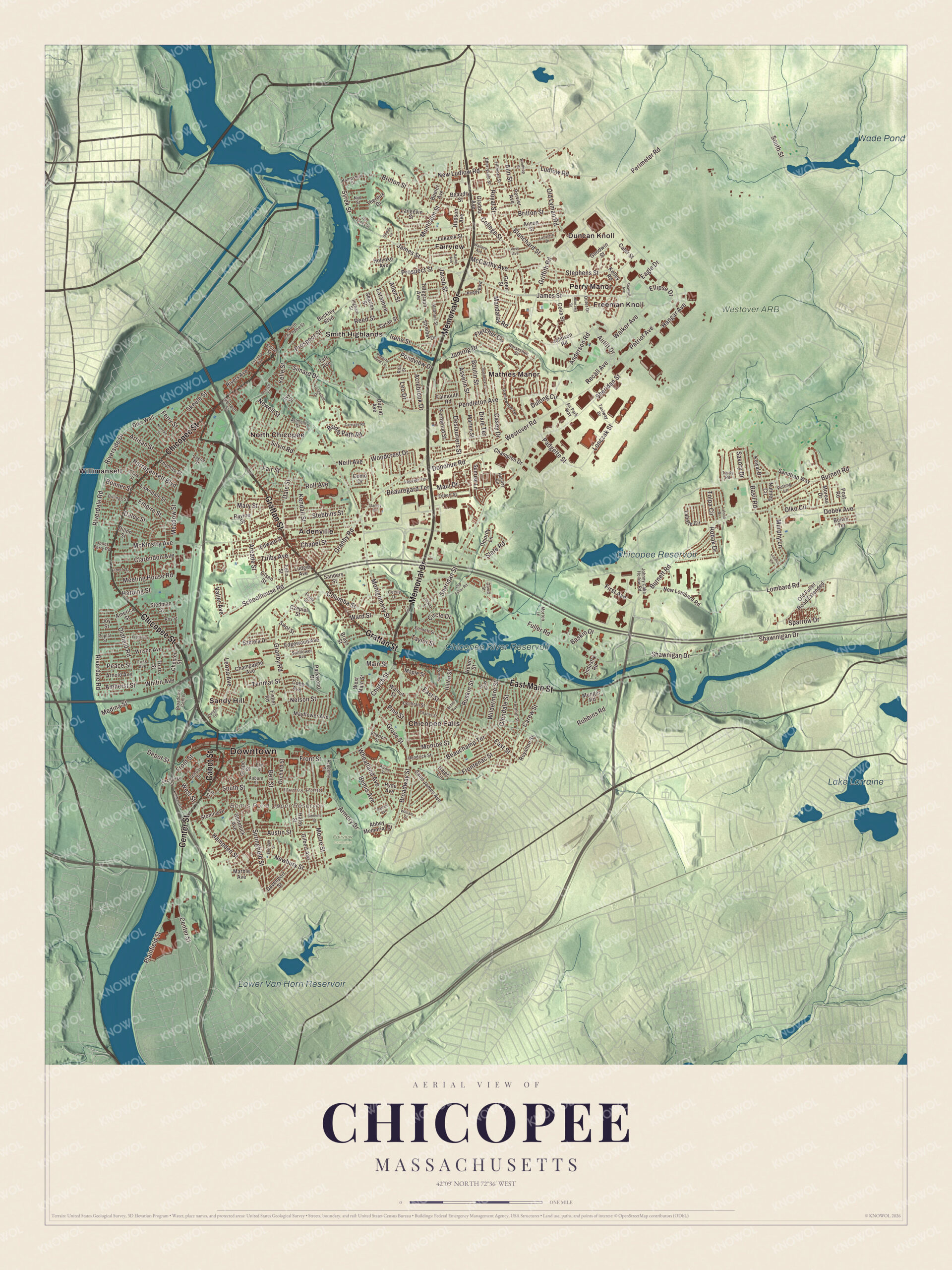
Click to explore a larger preview. The digital watermark does not appear on printed maps.
Names on this map
These names are printed on this map.
Places: Downtown, Bemis Pond, Bemis Pond Upper Reservoir, Chicopee River Reservoir, Lake Lorraine, Wade Pond, Chicopee Reservoir, Lower Van Horn Reservoir, Westover ARB, Fairview Cemetery, Aldenville, Chicopee Falls, Duncan Knoll, Fairview, Freeman Knoll, Mathies Manor, North Chicopee, Perry Manor, Sandy Hill, Smith Highlands and Willimansett.
Streets and roads: Chicopee Street, Grattan Street, Cabot Street, Memorial Drive, Center Street, East Main Street, Syrek Street, James Street, Ferry Street, Prospect Street, Riverside Drive, Montgomery Street.
More street names, A to Z
Abbey Memorial Drive, Academy Street, Acrebrook Drive, Airlift Drive, Air Park Way, Allen Street, America Street, Amherst Street, Anderson Road, Ann Street, Anson Street, Arcade Street, Archie Street, Arlmont Street, Armory Drive, Arnold Avenue, Artisan Street, Ash Street, Asselin Street, Auburn Street, Austin Street, Barby Avenue, Basil Road, Baskin Drive, Beauchamp Terrace, Beaudry Street, Beauregard Terrace, Beeler Avenue, Bell Street, Bemis Avenue, Bennett Street, Billings Street, Blanchard Street, Boivin Terrace, Bonner Street, Bostwick Lane, Boutin Street, Brays Street, Bridle Path Road, Britton Street, Broadcast Center, Broadway Street, Buckley Boulevard, Burnett Road, Butler Avenue, Carew Street, Carriage Road, Casey Drive, Cater Street, Cecile Drive, Celia Street, Champagne Avenue, Champion Drive, Chapel Street, Charles Street, Cherryvale Street, Chester Street, Church Street, Circle Drive, Clarendon Avenue, Clark Street, Cobb Avenue, Cochran Street, College Street, Columba Street, Como Drive, Cyran Street, Czepiel Street, Dale Street, Daley Street, Dalton Avenue, Davenport Street, David Street, Dejordy Lane, Depot Street, Deslauriers Street, Dewey Street, Dike Wall, Dillon Street, Dixie Terrace, Dobek Avenue, Donohue Road, Dowds Lane, Dulong Circle, Duprat Avenue, Dwight Terrace, Eagle Drive, East Street, Edbert Street, Edgewood Avenue, Edward Street, Eldridge Street, Ellerton Street, Ellipse Drive, Elmer Drive, Elm Street, Emmett Street, Empire Street, Erline Street, Exchange Street, Fair Street, Falmouth Road, Felix Street, Fernhill Street, Fernwood Street, Fillmore Street, First Avenue, Fisher Road, Fletcher Circle, Foss Avenue, Frank Street, Frederick Street, Frontenac Street, Front Street, Fuller Road, Gagne Street, Gilbert Avenue, Gladdu Avenue, Glendale Street, Goodwin Street, Granby Road, Grape Street, Green Street, Greenwood Terrace, Griffith Road, Grove Street, Hafey Street, Hajec Circle, Hampden Street, Hampshire Street, Hangar Avenue, Harding Street, Helen Street, Hendrick Street, Hilton Street, Holiday Circle, Holyoke Avenue, Horseshoe Drive, Hudson Avenue, Hyde Avenue, Industry Road, Ingham Street, Irene Street, Ivy Street, Jacob Street, Jamrog Drive, Johnny Cake Hollow Road, Johnson Road, Jones Ferry Road, Joy Street, Keddy Boulevard, Kelley Road, Kendall Street, Kimball Street, Kowal Drive, Labelle Circle, Lafond Drive, Langevin Street, Laramee, Lariviere Drive, Lauzier Terrace, Lawndale Street, Leo Drive, Leona Avenue, Lombard Road, Lonczak Street, Longwood Drive, Loomis Court, Lucretia Avenue, Ludger Avenue, Ludlow Road, Lukasik Street, Main Street, Mandalay Road, Maple Street, Marble Avenue, Marten Street, Mary Street, Maui Drive, Mayflower Avenue, McCarthy Avenue, McKinstry Avenue, Meadow Street, Medina Street, Meeting House Road, Mierzwa Street, Monroe Street, Montcalm Street, Moore Street, Moreau Drive, Morton Lane, Munger Road, Murphy Lane, Narragansett Boulevard, Neill Avenue, Nelson Street, Newbury Street, Newell Street, New Lombard Road, New Ludlow Road, Nonotuck Avenue, Norman Street, North Chicopee Street, Nutmeg Circle, Nye Street, Oldfield Road, Old Fuller Road, Old Fuller Road Extended, Old James Street, Old Lyman Road, Olko Circle, Olsen Street, Orange Street, Orchard Street, Outer Drive, Padgette Street, Parkwood Drive, Patriot Avenue, Peace Street, Pendleton Avenue, Perimeter Road, Perrault Street, Pervier Avenue, Pine Street, Plainfield Street, Pondview Drive, Poplar Street, Post Road, Putting Lane, Ravine Street, Recall Avenue, Reed Street, Rich Street, Rita Street, Riverdale Road, Rivers Avenue, Robak Drive, Robbins Road, Roberts Pond Lane, Rolf Avenue, Rose Street, Royal Street, Royalton Street, Roy Street, Ruskin Street, Saint James Avenue, Sanders Street, Sandtrap Way, Savory Drive, Schoolhouse Road, School Street, Searles Street, Seawolf Avenue, Shawinigan Drive, Shawnigan Drive, Sheridan Street, Silvin Road, Simard Drive, Skeele Street, Slate Road, South Street, Sparrow Drive, Springfield Street, Stanley Drive, Stebbins Street, Stedman Street, Stephens Street, Stonina Drive, Streiber Drive, Sunflower Avenue, Sunrise Lane, Swol Street, Szetela Drive, Taft Avenue, Tardy Road, Taxiway Drive, Taylor Street, Telegraph Avenue, Terimar Street, Theroux Drive, Thomas Street, Tolpa Circle, Trilby Avenue, Truro Street, Vadnais Street, Valier Avenue, Voss Avenue, Walker Avenue, Wallace Avenue, Walnut Street, Ward Street, West Main Street, Westover Road, West Street, Wheatland Avenue, Whitin Avenue, Wildermere Street, William Street, Wilson Avenue, Winthrop Street, Woodcrest Drive, Yelle Street.
Around the map
Start with Aldenville, the “little city on the hill” Edward Monroe Alden began laying out in 1890 on 600 acres he’d bought east of Willimansett, naming its streets for his family. French-Canadian factory workers built it up, and builder and carpenter Marcellin Croteau bought and built the first house. From there, follow Chicopee Street, Grattan Street, Cabot Street, Memorial Drive, Center Street and East Main Street across the city. Chicopee Street was part of Springfield’s First Parish in the Chapins’ day, and Memorial Drive, Route 33, runs north and south from Chicopee Falls toward South Hadley. In Market Square, City Hall has stood since 1871, its 147-foot tower modeled on the Palazzo Vecchio in Florence. Then look outward toward Chicopee Falls, Duncan Knoll, Fairview, Freeman Knoll and Mathies Manor. Fairview, the northernmost village, was known for its tobacco farms, and after 1939 Westover Field helped turn it quickly into a residential and commercial district. Today Westover Air Reserve Base is the largest Air Force Reserve base in the United States. Frank J. Szot Memorial Park borders Bemis Pond with ball fields, picnicking and war memorials. Bemis Pond, the Bemis Pond Upper Reservoir, the Chicopee River Reservoir and Lake Lorraine are all printed on the map.
A map of Chicopee makes a fine addition to an office, library or den, and it can help teach children the geography and history of the city where their family settled. It’s made for people who call Chicopee home, from Willimansett to Chicopee Falls, and it shows the city as it looks today. Zoom in on the preview above to explore the details, then click here to get your copy of the Chicopee, Massachusetts map.

We made a map for every town and city in Massachusetts. Explore the complete Massachusetts map collection and find your town.
Sources
- Chicopee, Massachusetts, Wikipedia
- Chicopee River, Wikipedia
- Ames Manufacturing Company, Wikipedia
- Fisk Rubber Company, Wikipedia
- Edward Bellamy House, Wikipedia
- Edward Bellamy, Wikipedia
- City Hall (Chicopee, Massachusetts), Wikipedia
- Westover Air Reserve Base, Wikipedia
- City and Town Incorporation and Settlement Dates, Secretary of the Commonwealth of Massachusetts (archived copy)