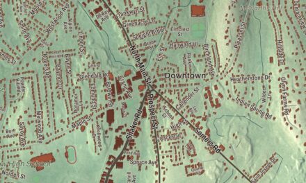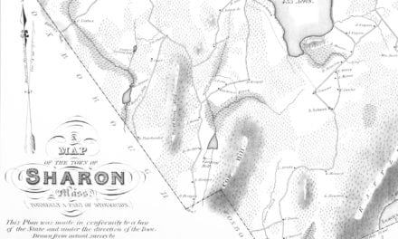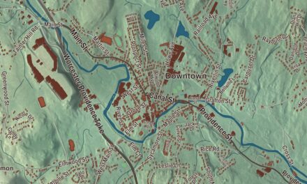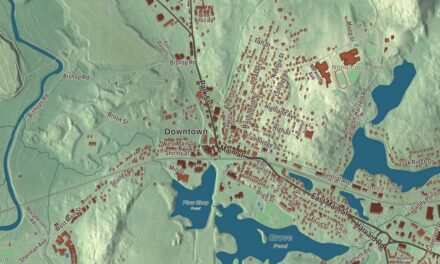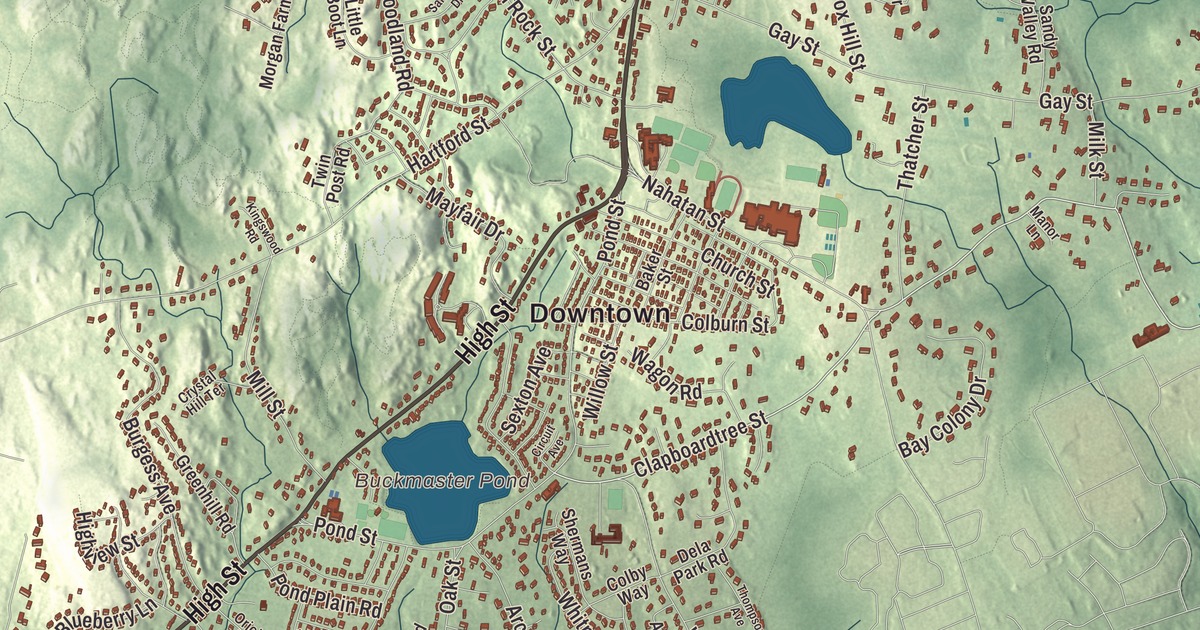
This aerial map of Westwood, Massachusetts was created in 2026 using real geographic data to bring the town’s streets, buildings, neighborhoods, ponds and waterways, mountains and ridgelines, and terrain together in one highly detailed view. Look closer and you can pick out the familiar places that make Westwood feel like home. Start with the street you know, then see how it connects to the rest of the Westwood you call home. Click here to purchase a print of this map for your wall.
Explore an aerial view of Westwood, Massachusetts
Start with Downtown and Ellis. Follow Washington Street, High Street, Boston-Providence Turnpike, Clapboardtree Street, East Street, and Canton Street across town. Then look outward toward Islington.
Buckmaster Pond, Ellis Pond, Noannet Pond, Weld Pond, Cat Rock, Everett Hill, and Fox Hill are all labeled on the map. Every one of those names is printed directly on the artwork, giving you plenty to explore.
The Town of Westwood’s recorded history dates European settlement to 1640. Westwood was incorporated as a town in 1897. The town remains part of Norfolk County today. Click the image below to see the area as it looked in 2026.
Take a closer look at the Westwood map
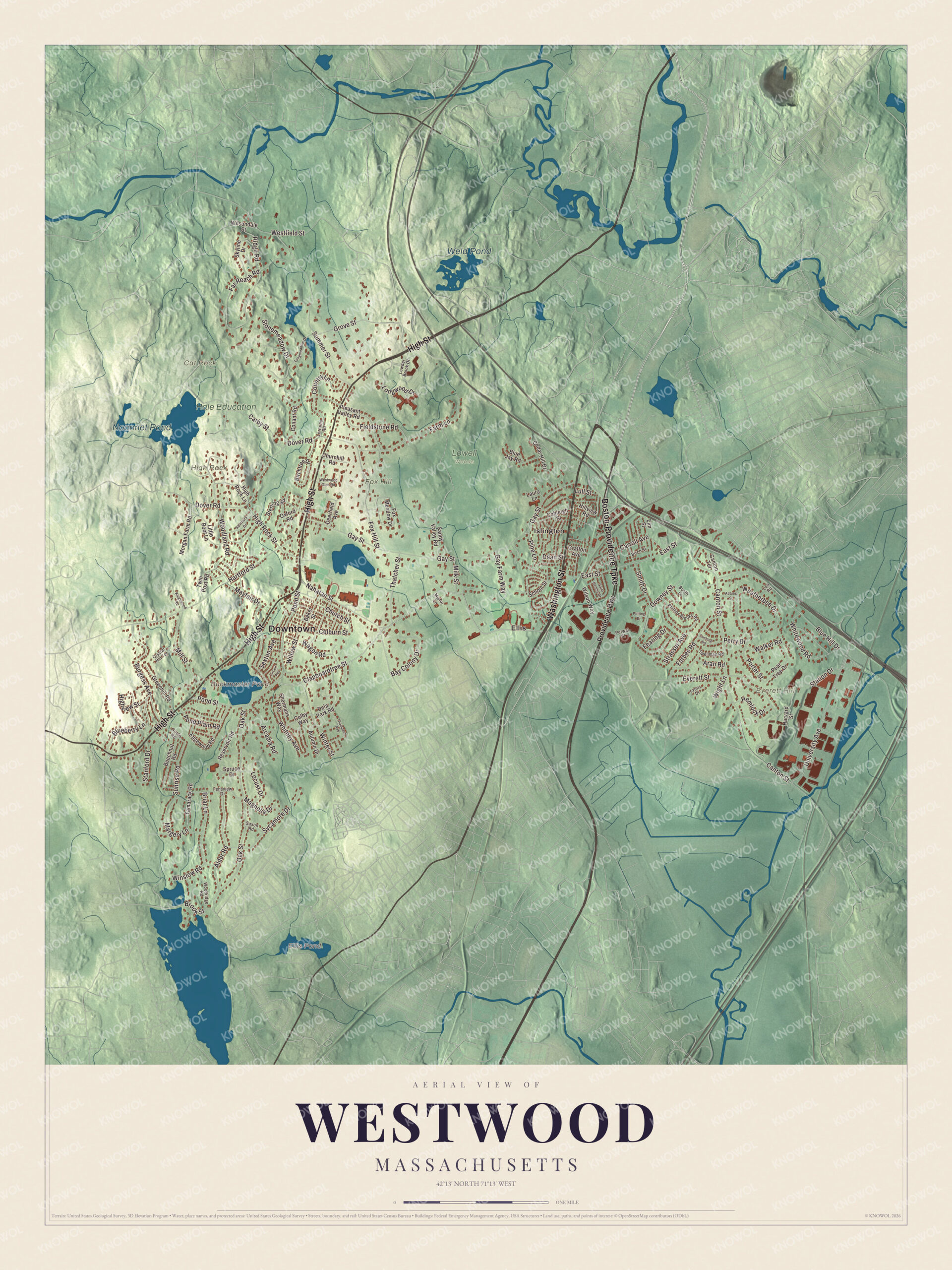
Click to explore a larger preview. The digital watermark does not appear on printed maps.
Names on this map
These names are printed on this map.
Places: Downtown, Cat Rock, Everett Hill, Fox Hill, High Rock, Buckmaster Pond, Ellis Pond, Noannet Pond, Weld Pond, Hale Education, Lowell Woods, Ellis and Islington.
Streets and roads: Washington Street, High Street, Boston-Providence Turnpike, Clapboardtree Street, East Street, Canton Street, Pond Street, Station Drive, Gay Street, Oak Street, Dover Road, University Avenue.
More street names, A to Z
Adams Street, Alder Road, Aran Road, Arcadia Road, Autumn Drive, Baker Street, Bay Colony Drive, Beechnut Road, Birch Street, Birchtree Drive, Blueberry Lane, Blue Hill Drive, Blue Jay Road, Booth Drive, Briar Lane, Brook Street, Burgess Avenue, Canton Terrace, Carby Street, Carroll Avenue, Cedar Hill Drive, Churchill Road, Church Street, Circuit Avenue, Cobleigh Street, Colburn Street, Colby Way, Conant Road, Country Lane, Crystal Hill Terrace, Cushing Road, Dean Street, Deerfield Avenue, Dela Park Road, Downey Street, Edgewood Road, Elm Street, Everett Street, Farm Lane, Far Reach Road, Fearing Drive, Fensview Drive, Fieldstone Road, Forbes Road, Fox Hill Street, Fox Meadow Drive, Gay Farm Way, Grafton Avenue, Greenhill Road, Grove Street, Hartford Street, Harvard Street, Hemlock Drive, High Rock Lane, High Rock Street, Highview Street, Hillview Road, Kingswood Road, Laura Lane, Lea Road, Little Boot Lane, Locust Drive, Longmeadow Drive, Longwood Drive, Lorraine Road, Lowder Brook Drive, Lull Street, Lyons Drive, Magnolia Drive, Manor Lane, Margery Lane, Mayfair Drive, Milk Street, Mill Street, Morgan Farm Road, Nahatan Street, Oriole Road, Oxford Road, Pear Tree Drive, Perry Drive, Perwal Street, Phillips Brooks Road, Pine Lane, Pleasant Valley Road, Pond Plain Road, Porter Street, Providence Highway, Putting Drive, Reservoir Road, Ridge Road, Saint Dennis Drive, Salisbury Drive, Sandy Valley Road, Saxon Road, School Street, Sexton Avenue, Shermans Way, Skyline Drive, Smith Drive, Spellman Road, Spruce Drive, Stanford Drive, Sterling Road, Stonemeadow Drive, Strasser Avenue, Summer Street, Sunrise Road, Sycamore Drive, Tamarack Road, Thatcher Street, Thompson Avenue, Twin Post Road, Wagon Road, Walker Road, Weatherbee Drive, Westfield Street, Westwood Glen Road, Whitewood Road, Whitney Avenue, Wight Lane, Willow Street, Wilsondale Street, Wilson Way, Winslow Road, Winter Street, Woodland Road, Woodridge Road.
See it on a wall
The Westwood map as a framed print. Swipe for more.


We designed the artwork at KNOWOL using Westwood’s real streets, buildings, neighborhoods, ponds and waterways, mountains and ridgelines, and terrain, the town boundary, and the way buildings spread across the town. Then we chose the color, relief, lettering, and layout that make the map look great on the wall.
This beautifully detailed map of Westwood makes an attractive addition to your office, library, or den and can even be used to teach children the geography and history of the area. When you’re done exploring, click here to get your copy of the Westwood, Massachusetts map.