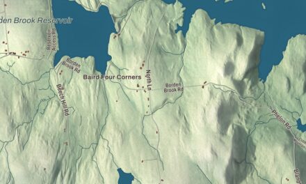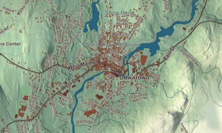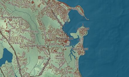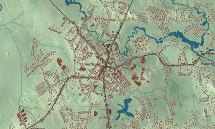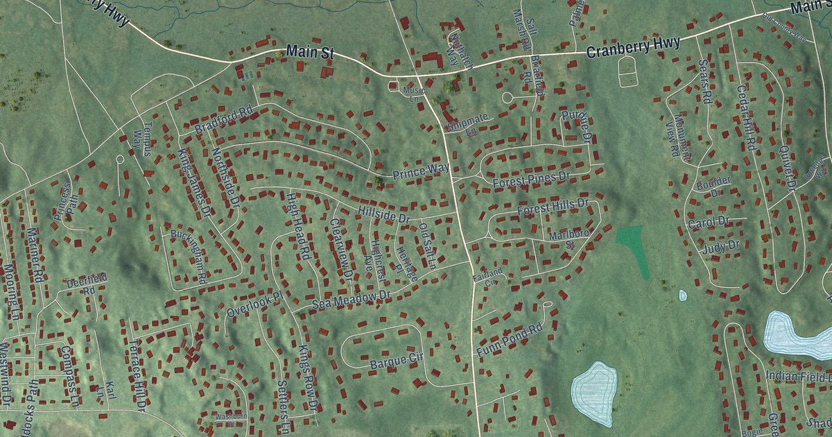
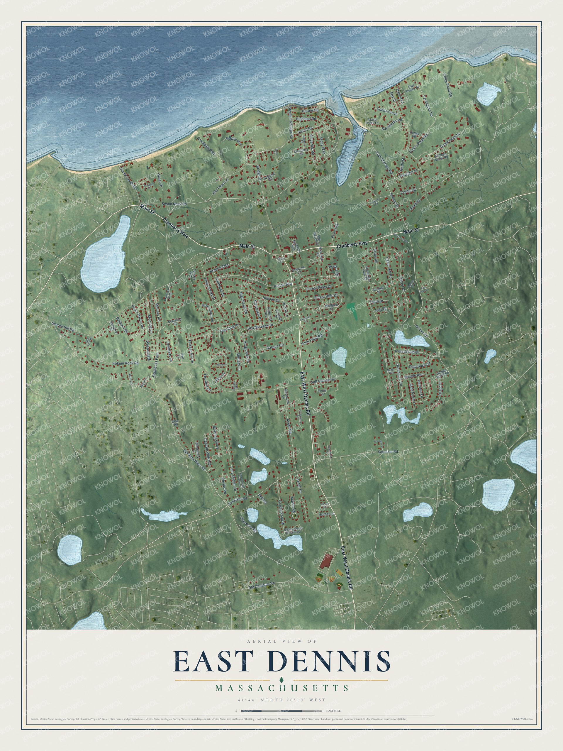
This beautifully detailed map of East Dennis, Massachusetts was created in 2026 using aerial imagery combined with modern topographical, census, street and landmark data. It's a modern aerial view of East Dennis in Barnstable County, Massachusetts, that combines modern data with a vintage aesthetic. The roads feature printed names, and if you look closely you can find your exact house accurately shown in its correct location.
Explore an aerial view of East Dennis, Massachusetts
On this map you'll find East-West Dennis Road, Cranberry Highway, Main Street, Airline Road, School Street, Sesuit Neck Road, Coles Pond Road, Cole's Pond Road, Old Bass River Road, Satucket Road, Hokum Rock Road, South Street, and more. Each red shape is a building, so zoom in on the preview and look for yours.
East Dennis is a community in Barnstable County. The Census Bureau counted 2,585 people here in 2020. The map prints the town name in its title panel, with the coordinates below it.
Take a closer look at the East Dennis map
Names on this map
These names are printed on this map.
Streets and roads: East-West Dennis Road, Cranberry Highway, Main Street, Airline Road, School Street, Sesuit Neck Road, Coles Pond Road, Cole's Pond Road, Old Bass River Road, Satucket Road, Hokum Rock Road, South Street.
More street names, A to Z
Acorn Road, Baldwin Road, Barque Circle, Bayberry Road, Bell Road, Blackberry Lane, Bogie Way, Boulder Drive, Bradford Road, Brassie Road, Briarfield Road, Bridge Street, Buckingham Road, Captain Walsh Drive, Capt Howes Street, Carol Drive, Cedar Hill Road, Center Street, Clair Road, Clay Pond Road, Clearview Drive, Cobbs Grove, Cold Storage Road, Coles Pond Drive, Compass Lane, Cranberry Road, Creek's End, Crocketts Path, Dalton Lane, Danvers Lane, Deerfield Road, Doctor Lords Road, Doctor Stanton Road, Fairland Circle, Farrington Road, Forest Hills Drive, Forest Pines Drive, Fox Run Circle, Funn Pond Road, Golden Rod Path, Gold Finch Lane, Golf Course Road, Grassy Pond Drive, Grassy Pond Drive East, Greenland Circle, Greenview Drive, Greenwood Road, Harbor Road, Hayfield Road, Hedge Road, Heritage Place, Highcrest Avenue, High Head Road, Highland Road, Hillside Drive, Homer Lane, Indian Field Drive, Island Creek Lane, Island Street, Janall Drive, Jilma Drive, John Lane, Joyce Circle, Judy Drive, Karl Lane, King James Drive, Kings Row Drive, Lady Slipper Drive, Mahoney Lane, Mariner Road, Marlboro Street, Martin Road, Monument View Road, Mooring Lane, Morning Glory, Music Lane, Northside Drive, North Street, Nuthatch Way, Old Chatham Road, Old County Way, Old Salt Lane, Old Town Lane, Oliver Drive, Overlook Place, Paddocks Path, Palmer Road, Perkins Way, Phyllis Road, Pine Ridge Road, Pleasant Street, Princess Path, Prince Way, Prospect Street, Purdue Drive, Quivet Drive, Robbin Run, Rutledge Way, Salt Marsh Road, Salt Works Road, Sassafras Road, Scargo Hill Road, Sea Meadow Drive, Sears Road, Sea Street, Sesuit Road, Settlers Lane, Setucket Road, Shad Bush Circle, Shipmate Lane, Shiverick Road, Simmons Pond Road West, Split Rock Road, Stephen Phillips Road, Stillman Kelley Road, Stony Way, Strawberry Lane, Tempus Way, Terrace Hill Drive, Trudy Circle, Washburn Place, Westwind Drive, Winding Way, Woodcock Lane.
See it on a wall
The East Dennis map as a framed print. Swipe for more.


Created by KNOWOL in 2026. The buildings are small red shapes, the roads carry their printed names, and shaded relief shows the shape of the land. The title panel reads "AERIAL VIEW OF EAST DENNIS, MASSACHUSETTS" with 41°44' NORTH 70°10' WEST.
It looks right in a kitchen, an office or a den, and it's a gift for anyone who grew up in East Dennis or moved away. Open the preview and find your street. See sizes and frames for the East Dennis map.