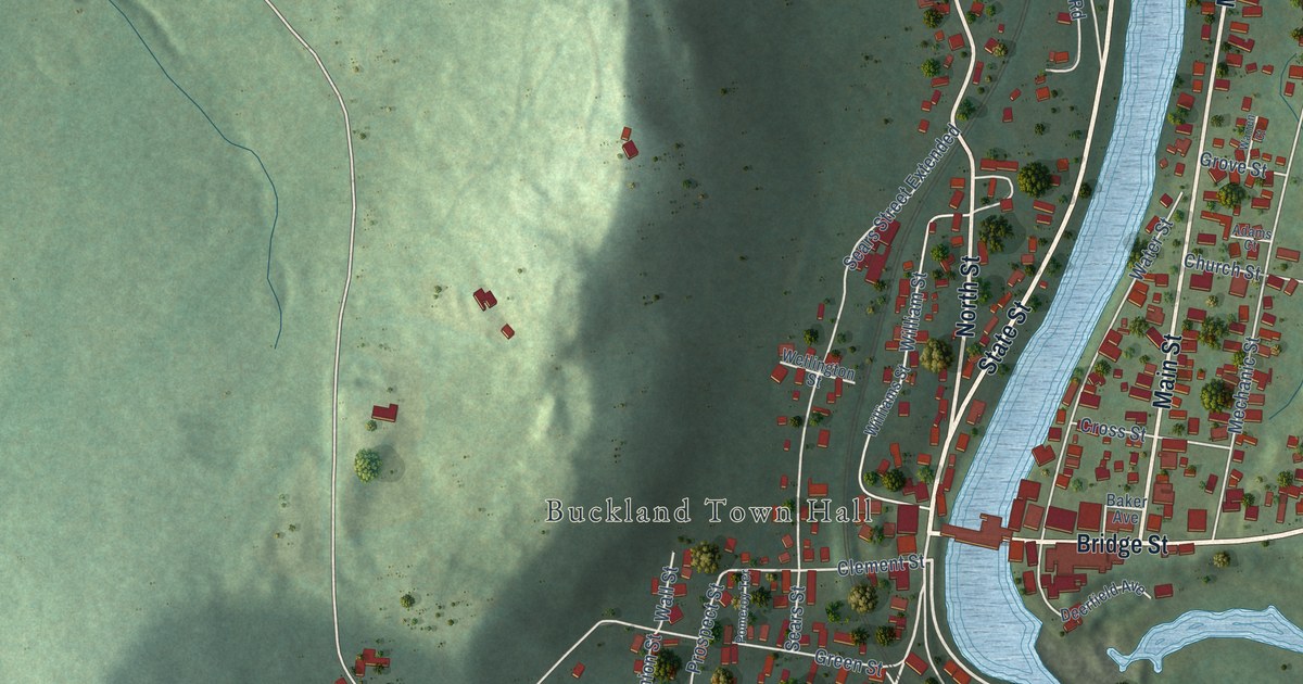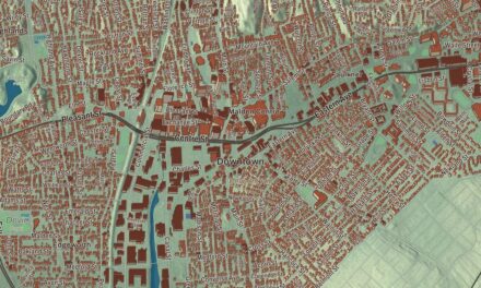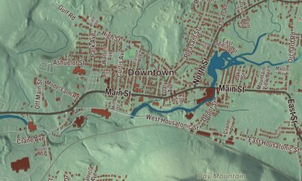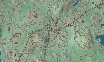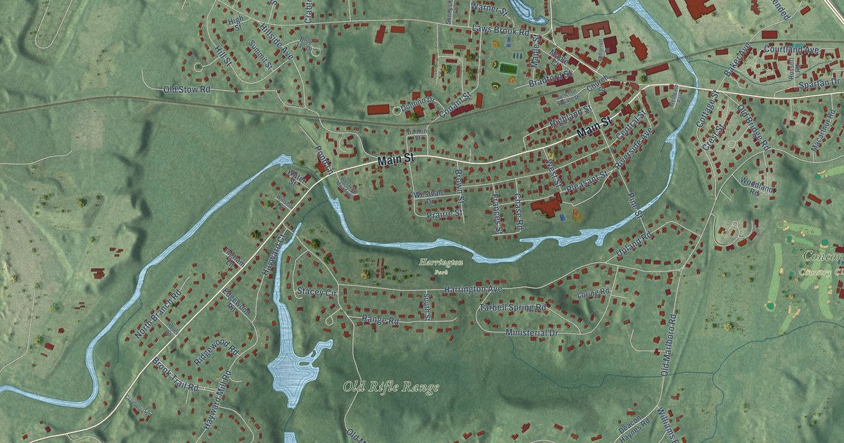
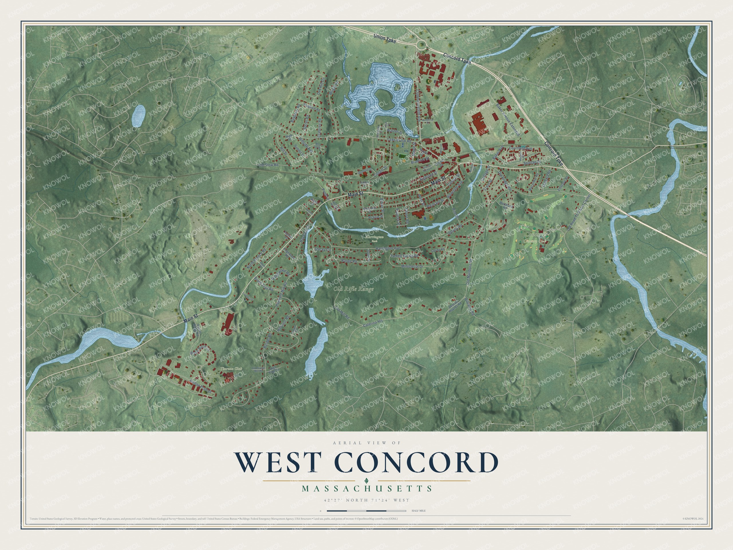
This beautifully detailed map of West Concord, Massachusetts was created in 2026 using aerial imagery combined with modern topographical, census, street and landmark data. It's a modern aerial view of West Concord in Middlesex County, Massachusetts, that combines modern data with a vintage aesthetic. The roads feature printed names, and if you look closely you can find your exact house accurately shown in its correct location.
Explore an aerial view of West Concord, Massachusetts
On this map you'll find Concord Country Club, Harrington Park, Old Rifle Range, Thoreau Club, Concord Turnpike, Union Turnpike, Main Street, Commonwealth Avenue, Old Marlboro Road, Harrington Avenue, Laws Brook Road, Nathan Pratt Drive, and more. Each red shape is a building, so zoom in on the preview and look for yours.
West Concord is a community in Middlesex County. The Census Bureau counted 6,320 people here in 2020. The map prints the town name in its title panel, with the coordinates below it.
Take a closer look at the West Concord map
Names on this map
These names are printed on this map.
Places: Concord Country Club, Harrington Park, Old Rifle Range, Thoreau Club and Westgate Park.
Streets and roads: Concord Turnpike, Union Turnpike, Main Street, Commonwealth Avenue, Old Marlboro Road, Harrington Avenue, Laws Brook Road, Nathan Pratt Drive, Hayward Mill Road, Border Road, Old Stow Road, Old Mill Road.
More street names, A to Z
Baker Avenue, Baker Avenue Extended, Bayberry Road, Beharrell Street, Black Birch Lane, Blue Jay Drive, Bradford Street, Brook Trail Road, Brown Street, Caterina Heights, Central Street, Chase Road, Church Street, Conant Street, Cottage Street, Courtland Avenue, Crabtree Road, Cranberry Lane, Crest Street, Damon Street, Deacon Haynes Road, Domino Drive, Edgewood Road, Emerson Road, Forest Ridge Road, Frances Street, Hayes Road, Hayward Court, Highland Street, High Pine Circle, High Street, Hillcrest Road, Hillside Avenue, Hill Street, Ingham Lane, Junction Square Drive, Juniper Circle, Loring Road, Macarthur Road, Maple Court, Maple Street, Ministerial Drive, North Branch Road, Oak Hill Circle, Old Bridge Road, Old Powder Mill Road, Old Road To 9 Acre Corner, Orchard Road, Pine Street, Pleasant Street, Pond Lane, Pond Street, Prairie Street, Range Road, Ridgewood Road, Riverside Avenue, Russett Road, Shagbark Road, Sorrel Road, South Street, Spartan Drive, Stacey Circle, Summit Street, Sunnyside Lane, Tarbell Spring Road, Upland Road, Warner Street, Water Street, West Street, Westvale Drive, Westvale Meadows, Williams Road, Winslow Street, Winthrop Street, Woodland Road, Wright Road.
See it on a wall
The West Concord map as a framed print. Swipe for more.


Created by KNOWOL in 2026. The buildings are small red shapes, the roads carry their printed names, and shaded relief shows the shape of the land. The title panel reads "AERIAL VIEW OF WEST CONCORD, MASSACHUSETTS" with 42°27' NORTH 71°24' WEST.
It looks right in a kitchen, an office or a den, and it's a gift for anyone who grew up in West Concord or moved away. Open the preview and find your street. See sizes and frames for the West Concord map.