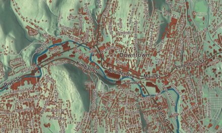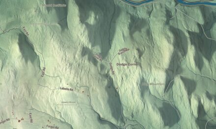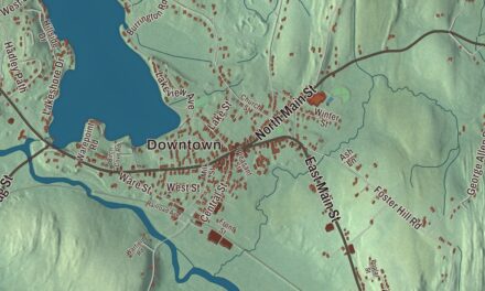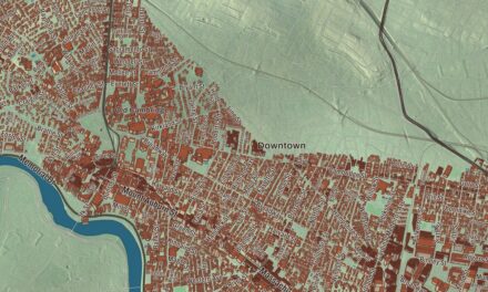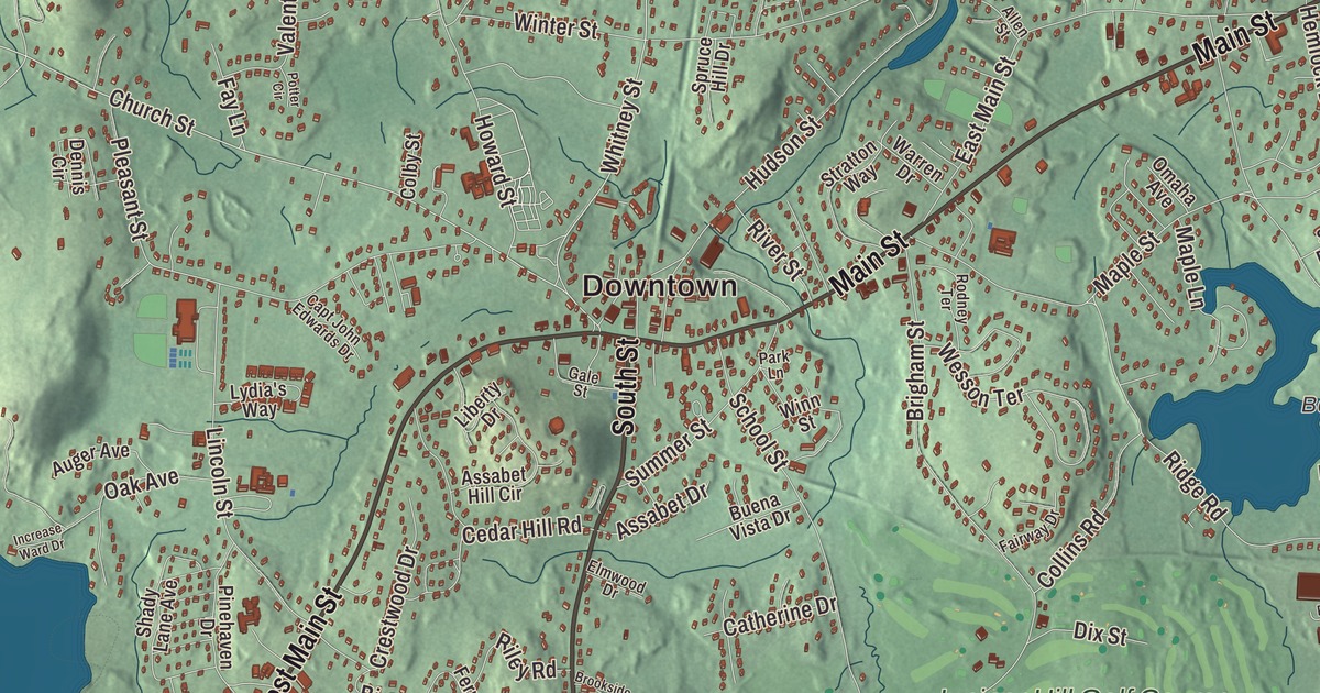
Northborough began as the north borough of its neighbor to the south. This map prints the roads that tie it together today, Main Street, West Main Street, South Street, Whitney Street, Turnpike Road and Boston Post Road, with Chauncy Lake, Bartlett Pond and Millham Reservoir among the water. Click here to purchase a print of this map for your wall.
Northborough is in Worcester County.
KNOWOL made this map in 2026 from public survey data and laid it out like a sheet from an old atlas. United States Geological Survey elevation data gives the land its rise and fall, and the Census Bureau supplied the streets and the town line. The town covers 18.8 square miles, sits about 302 feet above sea level on average, and had 15,741 people at the 2020 census. Berlin lies to the north, Boylston to the northwest, Shrewsbury to the west, Westborough to the south and Marlborough to the east, and its border with Southborough is only 500 yards long, out in the woods. The Assabet River rises in a swampy area in Westborough known as the Assabet Reservoir and flows northeast through Northborough on its way to Concord.
The north borough
The Nipmuc people lived here first. The Town of Northborough’s recorded history, in the Secretary of the Commonwealth’s list, dates European settlement to 1672. The first meeting house was established in 1746, and the first Town Minister was the Reverend John Martyn. On January 23, 1766, the district of Northborough was set off within Westborough, and on August 23, 1775, the district became a town, much as Westborough had split from Marlborough some 58 years before; the two towns went on sharing a meetinghouse for some time. Northborough was incorporated as a town in 1775, and in 1807 part of Marlborough was added to it. The official spelling is Northborough, though Northboro is used too, and the free library dates to 1868.
People from Northborough
Luther Rice was born in Northborough in 1783. He sailed to India as a missionary with Adoniram Judson in 1812, came home a Baptist, and spent his career raising money for missions and to found Columbian College in Washington, which is now George Washington University. The minister Joseph Allen ran a school in town, and two of his sons were born here. Joseph Henry Allen became a Unitarian minister and editor, and William Francis Allen, a classical scholar, ran a school for newly freed people on the Sea Islands of South Carolina during the Civil War and helped edit, in 1867, the first book of its kind, a collection of songs of enslaved African Americans.
Daniel B. Wesson learned gunsmithing in his brother Edwin’s shop in Northborough and met his future wife here, before he went on to co-found Smith and Wesson. He later built a shingle style summer house on Main Street, on land partly owned by his wife’s family, finished in 1886; the town voted in 2016 to buy the property at 167 Main Street. Mark Fidrych, the Detroit Tigers pitcher called “the Bird,” played ball at Algonquin Regional High School, won the American League Rookie of the Year award in 1976, and drew two busloads of fans from his hometown of Northborough to one of his starts at Fenway Park. He later lived on a farm in town. The town remains part of Worcester County today.
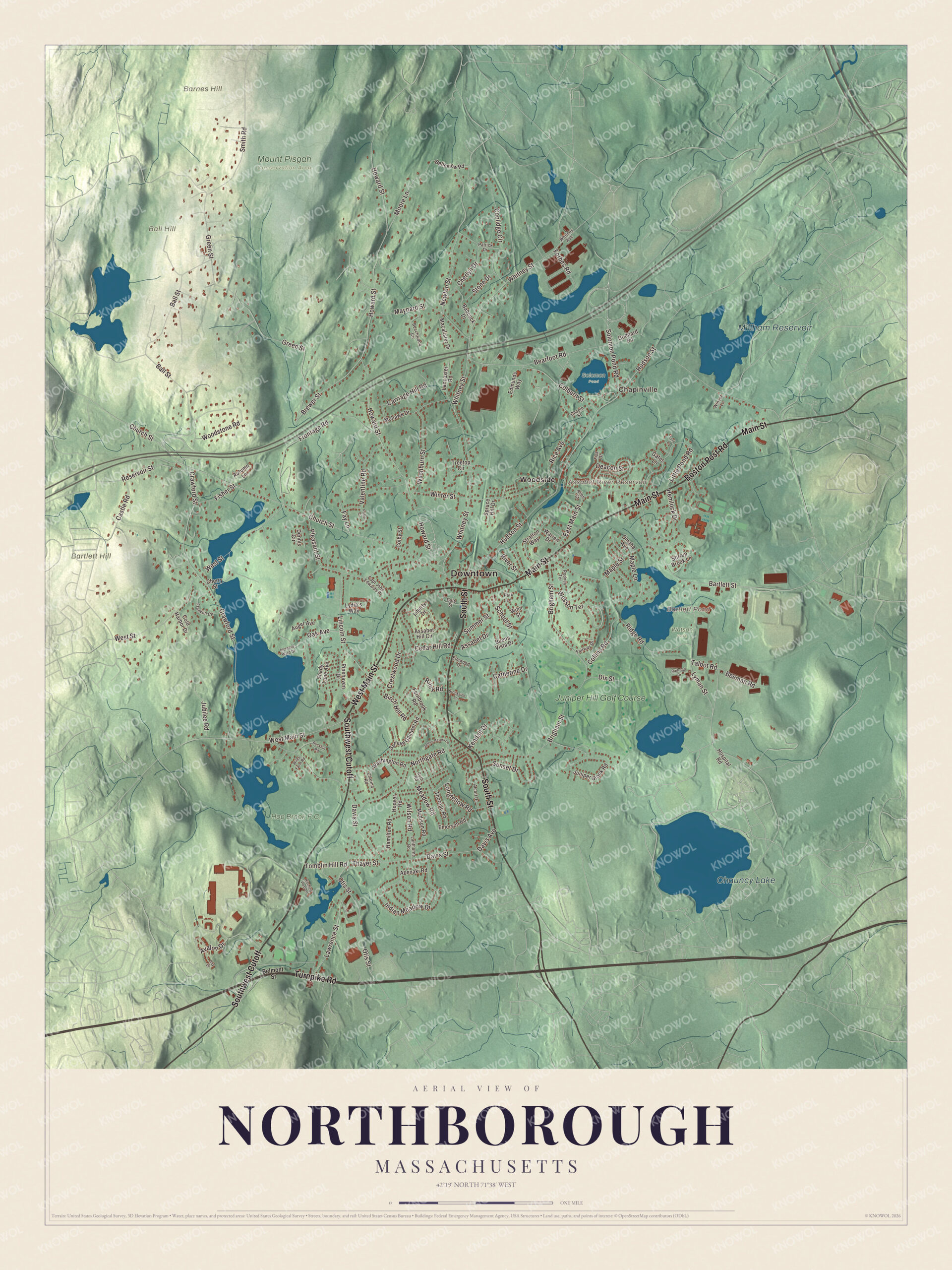
Click to explore a larger preview. The digital watermark does not appear on printed maps.
Names on this map
These names are printed on this map.
Places: Downtown, Chapinville, Ball Hill, Barnes Hill, Bartlett Hill, Assabet River Reservoir, Bartlett Pond, Chauncy Lake, Millham Reservoir, Hop Brook F.C., Mount Pisgah Conservation Area, Solomon Pond, Watson Park, Woodside and Juniper Hill Golf Course.
Streets and roads: South Street, West Main Street, Main Street, Southwest Cutoff, Turnpike Road, Boston Post Road, Whitney Street, Church Street, Cedar Hill Road, Pleasant Street, Maple Street, Reservoir Street.
More street names, A to Z
Abenaki Road, Alcott Drive, Allen Street, Assabet Drive, Assabet Hill Circle, Auger Avenue, Autumn Lane, Avalon Drive, Babcock Drive, Ball Street, Bartlett Street, Bay Drive, Bearfoot Road, Beechwood Circle, Beeman Road, Belleview Road, Belmont Street, Birch Hill Road, Brewer Street, Brigham Street, Brookside Lane, Buckhill Road, Buena Vista Drive, Capt John Edwards Drive, Carriage Hill Road, Castle Road, Catherine Drive, Chapin Street, Charina Road, Cherlyn Drive, Cherry Street, Colburn Street, Colby Street, Cold Harbor Drive, Collins Road, Coolidge Circle, Crawford Street, Crestwood Drive, Davis Avenue, Davis Street, Deacon Street, Dennis Circle, Dix Street, East Main Street, Edmunds Way, Elmwood Drive, Emerson Road, Fairway Drive, Fay Lane, Fernbrook Road, Fisher Street, Fisk Drive, Forbes Road, Franklin Circle, Frontage Road, Gale Street, Gates Lane, Goddard Road, Green Street, Hamilton Road, Hemlock Drive, Hitching Post Lane, Hoover Road, Hospital Road, Howard Street, Hudson Street, Increase Ward Drive, Indian Meadow Drive, Jethro Peters Lane, Jubilee Road, Juniper Brook Road, Kendall Drive, Lancaster Road, Lanthorne Road, Lawrence Street, Liberty Drive, Lincoln Street, Little Pond Road, Longfellow Road, Lydia's Way, Lyman Street, Macalister Drive, Madison Road, Maple Lane, Maynard Street, Meadow Road, Mohawk Drive, Moore Lane, Newton Street, Northgate Road, Oak Avenue, Omaha Avenue, Otis Street, Park Lane, Patrick Drive, Pinehaven Drive, Potter Circle, Railroad Drive, Rice Avenue, Ridge Road, Riley Road, River Street, Rodney Terrace, Ruth Road, Samuel Gamwel Road, School Street, Shady Lane Avenue, Smith Road, Solomon Pond Road, Spruce Hill Drive, Stirrup Brook Lane, Stone Drive, Stratton Way, Summer Street, Sunset Drive, Talbot Road, Thayer Street, Thoreau Road, Tomblin Hill Road, Tory Lane, Treetop Circle, Valentine Road, Warren Drive, Washburn Street, Washington Road, Wesson Terrace, West Street, Whitney Avenue, Wiles Farm Road, Wilson Road, Winn Street, Winsor Lane, Winter Street, Woodstone Road.
See it on a wall
The Northborough map as a framed print. Swipe for more.


Around the map
Start with Chapinville. Follow South Street, West Main Street, Main Street, Turnpike Road, Boston Post Road and Whitney Street across town. Then look outward toward Woodside. Assabet River Reservoir, Bartlett Pond, Chauncy Lake, Millham Reservoir, Ball Hill, Barnes Hill and Bartlett Hill are all printed on the map. Main Street is where the Wesson house stands, at number 167, and the New England Baseball Complex, home of the New England Ruffnecks youth baseball association, sits where Route 20 meets Route 9.
The Northborough map makes a good addition to an office, library or den, and it can help teach children the geography and history of a town that grew out of Westborough. It’s made for anyone who calls Northborough home, from Chapinville to Woodside, and it shows the town as it looks today. Zoom in on the preview above to explore the details, then click here to get your copy of the Northborough, Massachusetts map.

Sources
- Northborough, Massachusetts, Wikipedia
- Assabet River, Wikipedia
- Luther Rice, Wikipedia
- Joseph Henry Allen, Wikipedia
- William Francis Allen, Wikipedia
- Daniel B. Wesson, Wikipedia
- Mark Fidrych, Wikipedia
- City and Town Incorporation and Settlement Dates, Secretary of the Commonwealth of Massachusetts (archived copy)