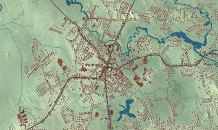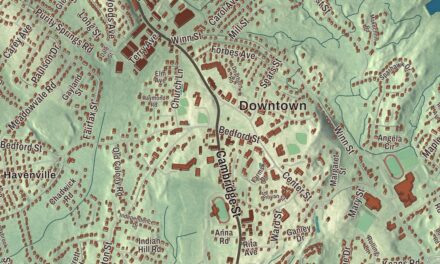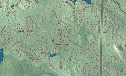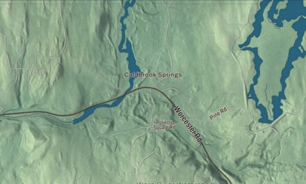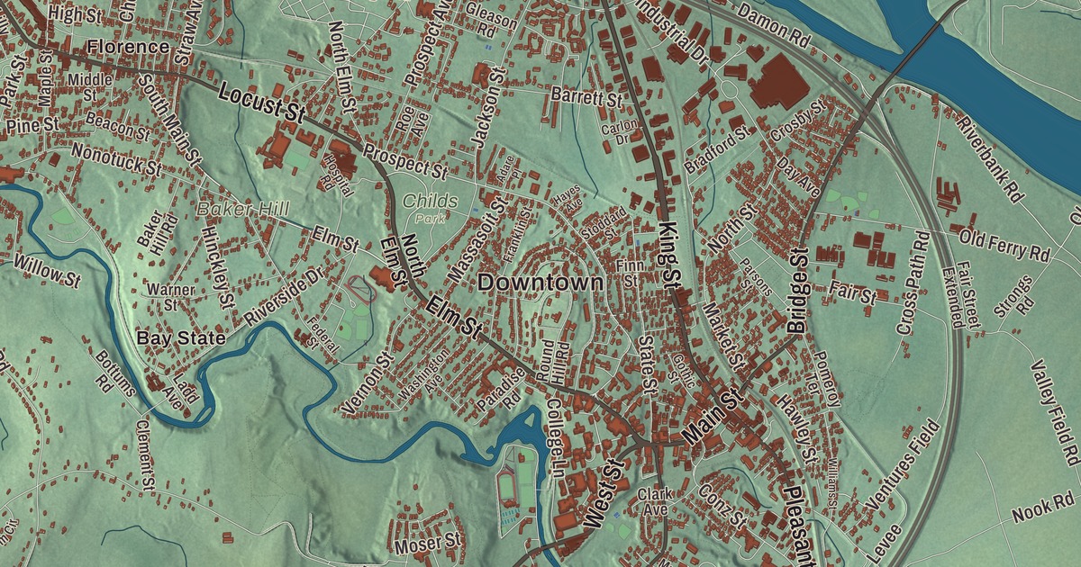
Jenny Lind called it the Paradise of America in 1851, and Northampton took its nickname, the Paradise City, from her words. This map prints its Main Street, Elm Street, King Street, West Street, North Main Street and Easthampton Road, with the villages of Florence and Leeds and Laurel Park on the edges. Click here to purchase a print of this map for your wall.
Northampton is in Hampshire County.
KNOWOL made this map in 2026 from public survey data, finished in the style of an old atlas plate. United States Geological Survey elevation data gives the valley and hills their relief, and the Census Bureau supplied the streets and the city line. Northampton is the county seat of Hampshire County and sits on the west side of the Connecticut River, with Hadley across the river to the east. It covers 35.8 square miles, and 21 percent of the city is permanently protected open space. Hatfield and Williamsburg lie to the north, Westhampton to the west and Easthampton to the south, and the Connecticut River’s Oxbow lies within the city at the northern base of Mount Nonotuck.
Nonotuck, the midst of the river
The Pocumtuc people called this place Norwottuck or Nonotuck, meaning “the midst of the river.” Settlers from Springfield bought the land in 1653 and came to stay in the early spring of the next year. The City of Northampton’s recorded history, in the Secretary of the Commonwealth’s list, dates European settlement to 1654. Northampton was incorporated as a town in 1656, and it was incorporated as a city in 1883. According to various accounts, John King, one of the first settlers, gave the town its name, or it was named in his honor; he’s supposed to have come from Northampton, England. Main Street was the center of the town’s civic and business life from the start, and Southampton, Westhampton and Easthampton were all later carved from its land.
The preacher and theologian Jonathan Edwards led a revival here in 1734 that spread through the Connecticut River Valley, and then led the Great Awakening of 1739 and 1740. The First Church on Main Street was his home church. Today’s stone building, the congregation’s fifth meetinghouse, went up in 1877 and 1878, with a clock the city still owns and stained glass by Louis Comfort Tiffany.
Florence and the Northampton Association
From 1842 to 1846 the village of Florence was home to the Northampton Association of Education and Industry, a community of abolitionists who believed the rights of all people should be “equal without distinction of sex, color or condition, sect or religion.” They made silk, and their farmhouse at 123 Meadow Street later served as a station on the Underground Railroad under the abolitionist Austin Ross. Sojourner Truth, who had been enslaved in New York’s Hudson Valley, joined them, gave her first public lecture in Florence, and published her Narrative in 1850. When the community ended she bought a house on Park Street, where she lived until 1857. A memorial statue of her by Thomas Jay Warren has stood at Pine and Park Streets since 2002. The abolitionist David Ruggles opened a water cure hospital on the Mill River in 1845, and the Nonotuck Silk Company, later the Corticelli Silk Company, made silk thread in Florence and Leeds until 1930. Samuel L. Hill founded the Hill Institute in Florence in 1876, known for starting the first free kindergarten in the United States.
Schools, a theater and a president
The Clarke School for the Deaf opened in 1867 on Round Hill Road as the first permanent oral school for the deaf in the United States, and Smith College for women was founded in 1871. The first game of women’s basketball was played at Smith in 1892. Edward H. R. Lyman, a tea and silk merchant born in Northampton, built the Academy of Music in 1890 and gave it to the city; the Northampton page calls it the earliest known municipally owned theater in the United States, and Harry Houdini put a trap door in its stage. Calvin Coolidge apprenticed in the Hammond and Field law office, whose partner John C. Hammond lived at 222 Elm Street, and he practiced law here and served as mayor in 1910 and 1911 before going on to the governor’s office and the White House. He came back to Northampton after his presidency and died in the city in 1933. Forbes Library holds the Calvin Coolidge Presidential Library and Museum.
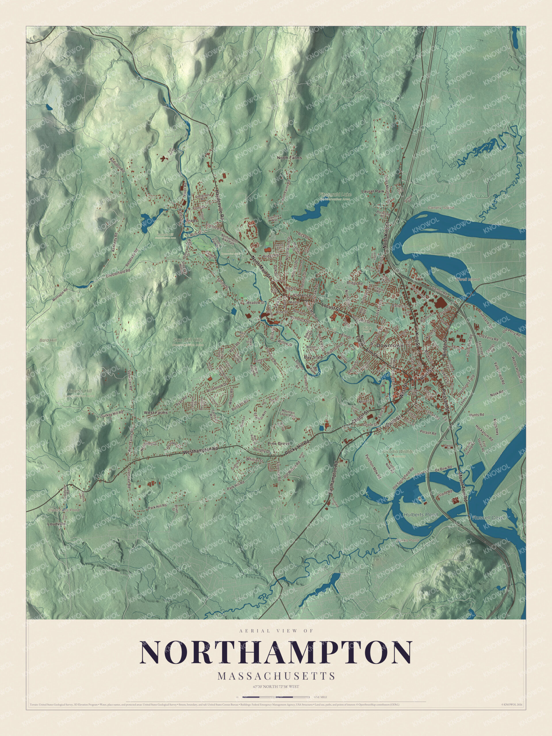
Click to explore a larger preview. The digital watermark does not appear on printed maps.
Names on this map
These names are printed on this map.
Places: Downtown, Baker Hill, Bald Hill, Canary Island, Elwell Island, Clear Falls Pond, Danks Pond, Hulberts Pond, Russell Cove, Arcadia Wildlife Sanctuary, Childs Park, Fitzgerald Lake Conservation Area, Look Memorial Park, Mineral Hill Conservation Area, Roberts Hill Conservation Area, Saw Mill Hills Conservation Area, Bay State, Florence, Laurel Park, Leeds, Loudville, North Farms, Pine Grove and West Farms.
Streets and roads: King Street, Easthampton Road, Elm Street, Main Street, West Street, North Main Street, Mount Tom Road, Chapel Street, Rocky Hill Road, Locust Street, Pleasant Street, Haydenville Road.
More street names, A to Z
Acorn Drive, Acrebrook Drive, Adare Place, Arch Street, Atwood Drive, Audubon Road, Autumn Drive, Avis Circle, Baker Hill Road, Bardwell Street, Barrett Street, Beacon Street, Birch Hill Road, Birch Lane, Black Birch Trail, Bliss Street, Bottums Road, Bradford Street, Bridge Road, Bridge Street, Brierwood Drive, Brookside Circle, Brookwood Drive, Burts Pit Road, Cahillane Terrace, Cardinal Way, Carlon Drive, Chesterfield Road, Chestnut Street, Claire Avenue, Clark Avenue, Clark Street, Clement Street, Coles Meadow Road, College Lane, Conz Street, Cooke Avenue, Corticelli Street, Country Way, Crosby Street, Cross Path Road, Curtis Nook Road, Damon Road, Day Avenue, Deerfield Drive, Dike Road, Dimock Street, Drury Lane, Dunphy Drive, Earle Street, Emerson Way, Emily Lane, Evergreen Road, Fair Street, Fair Street Extended, Fairway Vlg, Federal Street, Finn Street, First Square Road, Florence Road, Florence Street, Fort Hill Road, Fort Street, Fox Farms Road, Franklin Street, Front Street, Gilrain Terrace, Gleason Road, Glendale Road, Gothic Street, Greenleaf Drive, Grove Street, Hatfield Road, Hatfield Street, Hawley Street, Hayes Avenue, High Street, Hillcrest Drive, Hinckley Street, Hockanum Road, Hospital Road, Hunts Road, Industrial Drive, Island Road, Jackson Street, Kennedy Road, Kings Highway, Ladd Avenue, Ladyslipper Lane, Lake Street, Leeno Terrace, Levee, Lilly Street, Loudville Road, Lovefield Street, Lyman Road, Maple Ridge Road, Maple Street, Market Street, Massasoit Street, Matthew Drive, Meadow Street, Middle Street, Montague Road, Moser Street, Mountain Laurel Path, Mountain Street, Munroe Street, Nonotuck Street, Nook Road, Northampton Bike Path, North Elm Street, North Farms Road, North King Street, North Maple Street, North Street, Oak Street, Old Ferry Road, Old Perry Road, Old Springfield Road, Old Wilson Road, Oliver Street, Olive Street, Ox Bow Road, Oxbow Road, Paradise Road, Park Hill Road, Park Street, Parsons Street, Parsons Swamp Road, Pines Edge Drive, Pine Street, Platinum Circle, Pomeroy Terrace, Potash Road, Prince Street, Prospect Avenue, Prospect Street, Pynchon Mdw Road, Rainbow Road, Reservoir Road, Rick Drive, Ridgeview Road, Riverbank Road, River Road, Riverside Drive, Rockland Heights, Roe Avenue, Round Hill Road, Ryan Road, Shepards Hollow, South Main Street, South Street, Spring Street, Spruce Hill Avenue, State Street, Stoddard Street, Stone Ridge Drive, Straw Avenue, Strongs Road, Sylvester Road, The Circle, Turkey Hill Road, Valley Field Road, Ventures Field, Vernon Street, Villone Drive, Warner Street, Washington Avenue, Water Street, Webbs Hollow Road, West Farms Road, Westhampton Road, Whittier Street, Williams Street, Willow Street, Wilson Road, Woodland Drive, Woods Road.
See it on a wall
The Northampton map as a framed print. Swipe for more.


Around the map
Start with Bay State. Follow King Street, Easthampton Road, Elm Street, Main Street, West Street and North Main Street across the city. Then look outward toward Florence, Laurel Park, Leeds, Loudville and North Farms. Danks Pond, Hulberts Pond, Russell Cove, Baker Hill, Bald Hill, Canary Island and Elwell Island are all printed on the map. The downtown historic district runs west along Main Street to where it meets West Street and Elm Street, taking in the Academy of Music, the First Church and the castle-like City Hall. Elm Street, part of Route 9, carries the Elm Street and Round Hill Historic District for about a mile, from Smith College’s College Hall of 1875 to the Blessed Sacrament church. The Mill River Greenway, a walking path along the Mill River on Smith College land, is in the Bay State Village neighborhood. Leeds was known in the 1800s for broadcloth, silk and vegetable ivory buttons, and Look Park, about 150 acres given to the city by Fannie Burr Look, opened in Florence in 1930 on the Mill River.
The Northampton map is a fine addition to an office, library or den, and it can help teach children the geography and history of a city on the Connecticut River. It’s made for anyone who calls Northampton home, from Bay State to Leeds, and it shows the city as it looks today. Zoom in on the preview above to explore the details, then click here to get your copy of the Northampton, Massachusetts map.

Sources
- Northampton, Massachusetts, Wikipedia
- Northampton Downtown Historic District, Wikipedia
- First Church of Christ (Northampton, Massachusetts), Wikipedia
- Florence, Massachusetts, Wikipedia
- Ross Farm (Northampton, Massachusetts), Wikipedia
- Sojourner Truth, Wikipedia
- Clarke Schools for Hearing and Speech, Wikipedia
- Academy of Music Theatre, Wikipedia
- Elm Street Historic District (Northampton, Massachusetts), Wikipedia
- Calvin Coolidge Presidential Library and Museum, Wikipedia
- Leeds, Massachusetts, Wikipedia
- Look Park, Wikipedia
- City and Town Incorporation and Settlement Dates, Secretary of the Commonwealth of Massachusetts (archived copy)