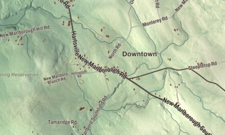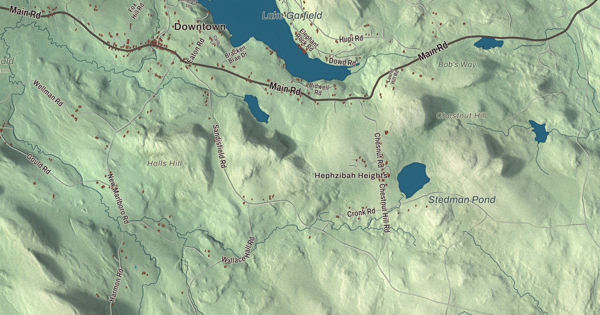
Monterey’s town center sits about half a mile south of Lake Garfield, where the Konkapot River begins, and Lake Buel lies along its New Marlborough line. This map prints Main Road, Pixley Road, West Road, Dowd Road, Mount Hunger Road and Beartown Mountain Road, with Lake Garfield, Lake Buel, Benedict Pond and Beartown Mountain. Click here to purchase a print of this map for your wall.
Monterey is in Berkshire County.
KNOWOL made this map in 2026 from public survey data and gave it the calm lines of an old atlas page. United States Geological Survey elevation data brings out the hills, and the Census Bureau supplied the roads and the town line. Monterey covers 27.4 square miles at the southern end of the Berkshires, bordered by Tyringham on the north, Otis on the east, Sandisfield on the southeast, New Marlborough on the south and Great Barrington on the west, and it had 1,095 people at the 2020 census. Route 23 is the main road east and west, and Lake Garfield lies just off it, about half a mile north of the town center.
Green Woods becomes Monterey
Mahican people lived here before the colonists came. The Town of Monterey’s recorded history, in the Secretary of the Commonwealth’s list, dates European settlement to 1739, when this was part of Housatonic Township Number One. The township had two villages, one on Hop Brook to the north, which is today’s Tyringham, and one on the Konkapot River to the south, which is today’s Monterey. The Reverend Adonijah Bidwell, the township’s first minister, built his saltbox house in the 1760s on the Boston-Albany Post Road. In the first days of 1776 Henry Knox passed through with the cannons from Fort Ticonderoga, bound for the Siege of Boston; his route is now the Henry Knox Trail, and he may have crossed the Bidwell land. The township became the town of Tyringham in 1767.
The long distance between the two villages finally split the town in 1847. The southern village, known as Green Woods or South Tyringham, voted to call itself Monterey after the Battle of Monterey, fought a year earlier in the Mexican-American War. Residents also considered Palo Alto and Buena Vista, but found them “too foreign sounding.” Monterey was incorporated as a town in 1847. The town was mostly known for its sawmills, and the Konkapot once powered mills here too, but today the town is better known for the state forests and Lake Garfield. The town remains part of Berkshire County today.
The Bidwell House
The Bidwell House on Art School Road is a Georgian saltbox built around a central chimney, with four fireplaces and two beehive ovens, carried below on a Roman arch in the basement. The family kept it for 103 years before John Devotion Bidwell, a selectman in the new town of Monterey, sold it to the Carrington family in 1853. A lumber company and then an art school owned it afterward, and in 1960 two New York fashion designers, Jack Hargis and David Brush, bought it with 196 acres and spent the next 25 years restoring it. It joined the National Register in 1982 and became a museum in 1990.
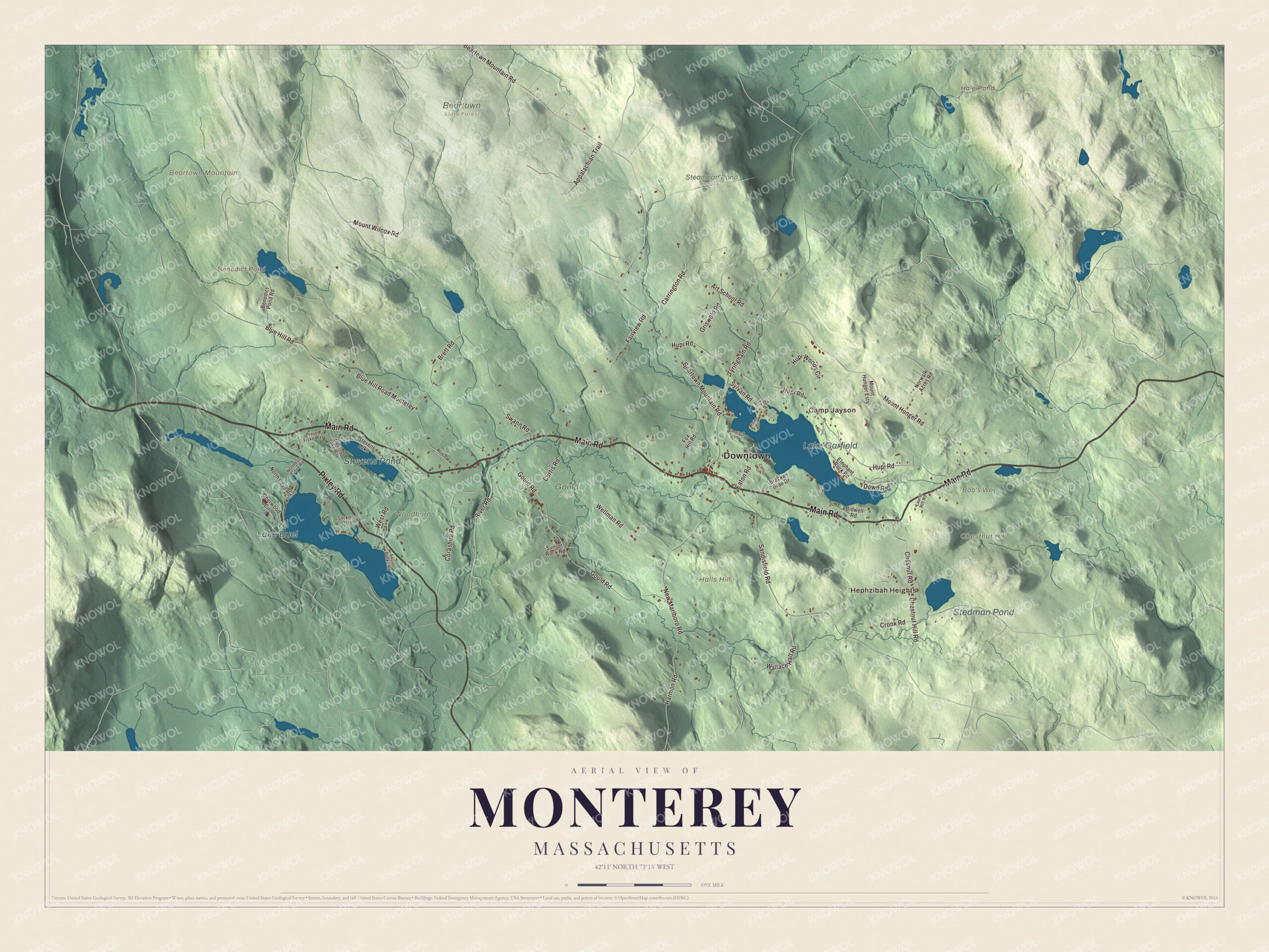
Click to explore a larger preview. The digital watermark does not appear on printed maps.
Names on this map
These names are printed on this map.
Places: Downtown, Hephzibah Heights, Camp Jayson, Beartown Mountain, Chestnut Hill, Halls Hill, Benedict Pond, Hale Pond, Lake Garfield, Lake Buel, Stevens Pond, Stedman Pond, Beartown State Forest, Bob's Way, Gould Farm, Steadman Pond Reserve, Woodburn Farm and Stevens Lake.
Streets and roads: Pixley Road, Main Road, West Road, Dowd Road, Mount Hunger Road, Beartown Mountain Road, Hupi Road, New Marlboro Road, Tyringham Road, Gould Road, Mount Wilcox Road, Sandisfield Road.
More street names, A to Z
Appalachian Trail, Art School Road, Benedict Pond Road, Bidwell Road, Blue Hill Road, Blue Hill Road Monterey, Bracken Brae Drive, Brett Road, Carls Lane, Carrington Road, Chesnut Road, Chestnut Hill Road, Corashire Road, Cronk Road, Curtis Road, Deerwood Circle, Eaton Road, Elephant Rock Road, Fairview Road, Fox Hill Road, Griswold Road, Harmon Road, Hupi Woods Circle, Laurel Banks Road, Laurel Hill Road, Lee Lane, Limerock Lane, Mount Hunger Ests, North Cove Road, Northeast Cove Road, Norwalk Acres Road, Point Road, Preyer Fiske Way, River Road, Sackman Way, Stevens Lake Way, Sunset Rock Road, Swann Road, Sylvan Road, Wallace Hall Road, Wellman Road.
See it on a wall
The Monterey map as a framed print. Swipe for more.


Around the map
Start with Hephzibah Heights. Follow Pixley Road, Main Road, West Road, Dowd Road, Mount Hunger Road and Beartown Mountain Road across town. Benedict Pond, Hale Pond, Lake Garfield, Lake Buel, Beartown Mountain, Chestnut Hill and Halls Hill are all printed on the map, each name set right on the artwork.
Lake Garfield covers 275 acres about half a mile north of the town center, named for a local family, and the Konkapot River flows out of it on a 22.1-mile run to the Housatonic. Lake Buel, 196 acres, has its northern shore in Monterey and its southern shore in New Marlborough. It’s named for Samuel C. Buel of Tyringham, who saved people from drowning there on July 23, 1812, when it was still called Six Mile Pond, and it became a summer gathering place in the 1870s. Benedict Pond, 35 acres, was made by an earthen dam the Civilian Conservation Corps built in Beartown State Forest, which spreads over more than 10,000 acres of Great Barrington, Monterey, Lee and Tyringham. A loop trail circles the pond, and the Appalachian Trail passes nearby.
The Monterey map makes a fine addition to an office, library or den, and it can help teach children the geography and history of a lake town in the southern Berkshires. It’s made for people who call Monterey home, from Hephzibah Heights to the shores of Lake Buel, and it shows the town as it looks today. Zoom in on the preview above to explore the details, then click here to get your copy of the Monterey, Massachusetts map.

Sources
- Monterey, Massachusetts, Wikipedia
- Bidwell House Museum, Wikipedia
- Henry Knox Trail, Wikipedia
- Konkapot River, Wikipedia
- Lake Garfield, Wikipedia
- Lake Buel, Wikipedia
- Beartown State Forest, Wikipedia
- City and Town Incorporation and Settlement Dates, Secretary of the Commonwealth of Massachusetts (archived copy)