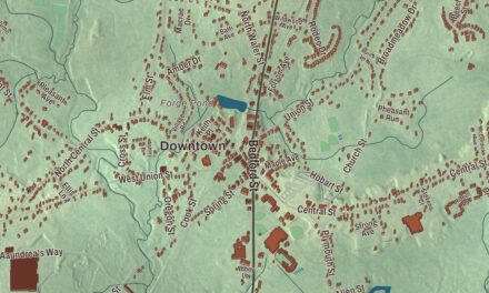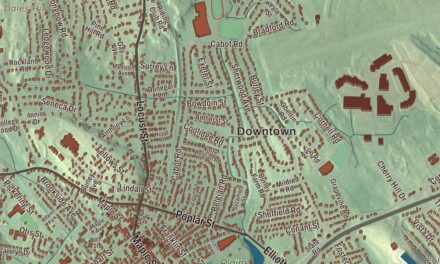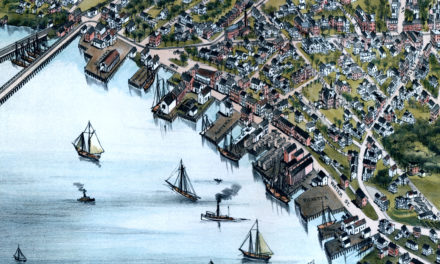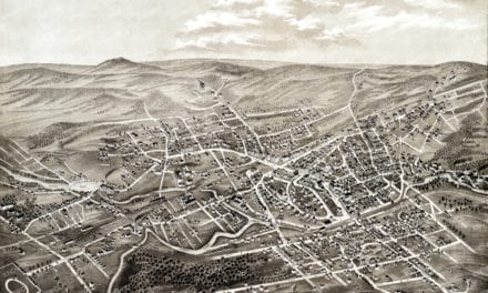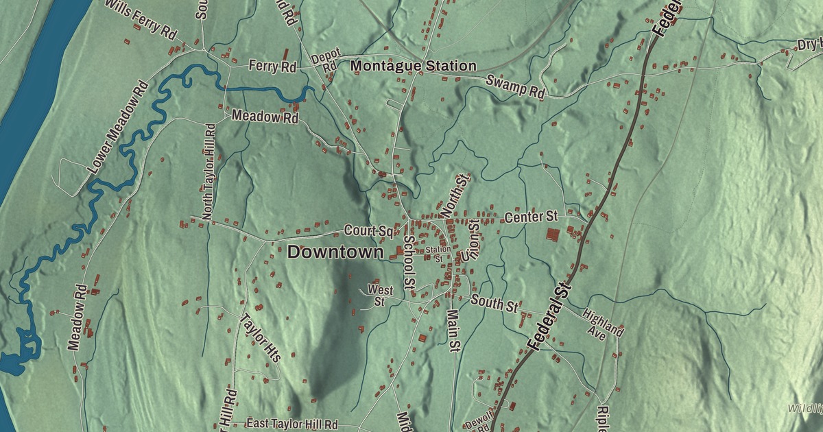
Montague is a town of five villages along the Connecticut River, and the biggest of them, Turners Falls, the mill village founded beside the river’s Great Falls in 1868, is sometimes used as a name for the whole town. This map prints Federal Street, Main Street, Turners Falls Road, Millers Falls Road, Sunderland Road and Wendell Road, with Lake Pleasant, Barton Island, Bowens Pond and Bare Hill. Click here to purchase a print of this map for your wall.
Montague is in Franklin County.
KNOWOL made this map in 2026 from public survey data and gave it the measured style of an old county atlas. The hills come from United States Geological Survey elevation data, and the Census Bureau supplied the streets and the town line. Montague covers 31.5 square miles, bounded on the west by the Connecticut River and drained by the Millers River, and state routes 2, 47 and 63 serve the town. It had 8,580 people at the 2020 census, and Turners Falls alone had 4,512 of them.
Peskeompskut
The Pocomtuc people lived here first and called the place Peskeompskut. Montague Center, the first European settlement, began as part of Sunderland. The Town of Montague’s recorded history, in the Secretary of the Commonwealth’s list, dates European settlement to 1715. The town page gives 1754 as the year of incorporation, while the state list says Montague was incorporated as a town in 1775. Today the town holds five villages: Montague Center, Montague City, Turners Falls, Millers Falls, which it shares with Erving, and Lake Pleasant. The town remains part of Franklin County today.
A charter signed by Governor John Hancock in 1792 let the Proprietors of the Upper Locks and Canals build a log-crib dam across the Connecticut at the Great Falls and a canal 2.5 miles long, with ten locks, running downstream toward the Deerfield River. It opened in 1798, and by 1802 freight boats ran regularly from Long Island Sound to Bellows Falls, Vermont. Within a few decades railroads had become the favored way to move freight, and the canal closed to boats in 1856. In 1869 it was rebuilt with a new dam as a power canal for mills. Alvah Crocker of Fitchburg had planned the village of Turners Falls the year before, inspired by Lowell, selling mill sites along the canal and house lots to the workers, with numbered cross streets and Avenue A laid out as a grand tree-lined main street. The town page calls it a planned mill community similar to Lowell’s, though less successful.
Millers Falls and Lake Pleasant
Millers Falls began in 1824 as a farm settlement called Grout’s Corner, after its first settler, Martin Grout. When two railroads met there in 1866, the water power of the falls on the Millers River made it a natural place for mills, and the village took its present name from the Millers Falls Manufacturing Company, founded in 1868 and known for its fine hand tools. The center of the village joined the National Register in 2021.
Lake Pleasant began in 1870 as a camp-meeting ground with 75 tent lots, and by 1872 Spiritualists were coming every summer to camp there. The New England Spiritualist Campmeeting Association organized in 1874, and around 1900 the village had 196 homes and cottages and as many as 2,000 people in August, with lectures, boating and visiting speakers. Lake Pleasant calls itself the oldest Spiritualist community in the United States that has existed continuously. Later the lake became a public water supply. In October 2010 Turners Falls held the first Franklin County Pumpkinfest, now called the Great Falls Festival.
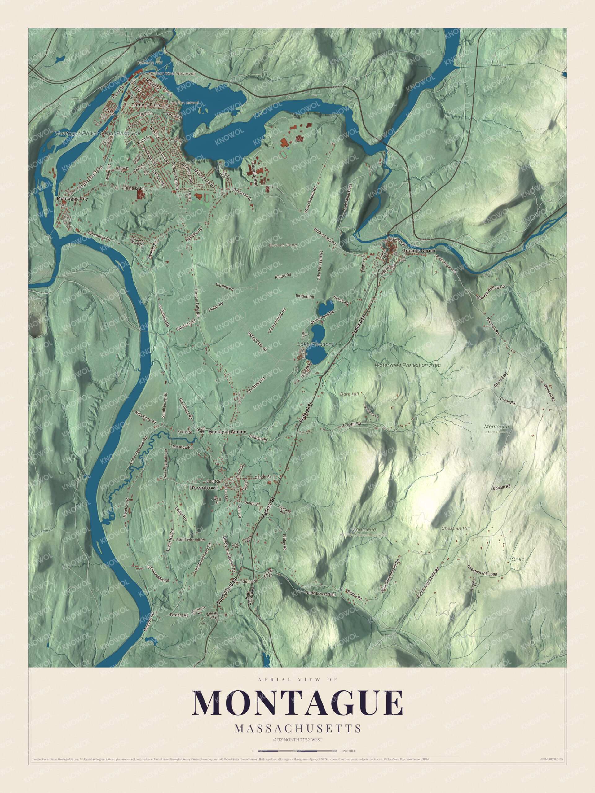
Click to explore a larger preview. The digital watermark does not appear on printed maps.
Names on this map
These names are printed on this map.
Places: Downtown, Turners Falls, Bare Hill, Barton Island, Canada Hill, Chestnut Hill, Bowens Pond, Connecticut River Reservoir, Montague Power Canal Reservoir, Lake Pleasant, Cr #1, Montague Wildlife Management Area, Montague State Forest, Watershed Protection Area, Grounts Corner, Montague City and Montague Station.
Streets and roads: Federal Street, Sunderland Road, Millers Falls Road, Turners Falls Road, Wendell Road, Main Street, East Chestnut Hill Road, Highland Street, Power Street, Second Street, Old Sunderland Road, Northfield Road.
More street names, A to Z
13th Street, 15th Street, Bartlett Road, Beach Road, Bernardo Drive, Billings Road, Bridge Street, Broadway, Cabot Street, Canal Street, Carlisle Avenue, Center Street, Chestnut Hill Loop, Coolidge Avenue, Country Club Lane, Court Square, Crocker Avenue, Cross Road, Davis Street, Deep Hole Drive, Dell Street, Denton Street, Depot Road, Depot Street, Dewolf Road, Dry Hill Road, Dunton Street, East Mineral Road, East Taylor Hill Road, Eleventh Street, Fairway Avenue, Ferry Road, Fifth Street, First Street, Fosters Road, Grand Avenue, Greenfield Road, Green Pond Road, Grout Circle, Grove Street, Gunn Road, Hannabrooke Lane, Hatchery Road, Henry Avenue, Highland Avenue, High Street, Hillside Road, Industrial Boulevard, Ivy Street, Keith Street, Kells Road, Lake Pleasant Road, Laurel Lane, Lower Meadow Road, Meadow Road, Middle Sunderland Road, Montague City Road, Montague Street, Mormon Hollow Road, Newton Street, North Amherst Road, North Leverett Road, North Street, North Taylor Hill Road, Oakman Street, Old Northfield Road, Paradise Parkway, Plains Road, Poplar Street, Randall Road, Randall Wood Drive, Reservoir Drive, Richardson Road, Riding Club Road, Ripley Road, School Street, Seventh Street, Sherman Drive, Smiarowskis Road, South Ferry Road, South Lyman Street, South Prospect Street, South Street, Spring Street, Station Street, Stevens Street, Swamp Road, Taylor Heights, Taylor Hill Road, Third Street, Turner Street, Turnpike Road, Union Street, Unity Street, Upham Road, Walnut Street, West Chestnut Hill Road, West Mineral Road, West Street, Whitmore Road, Whitney Way, Wills Ferry Road, Winthrop Street.
See it on a wall
The Montague map as a framed print. Swipe for more.


Around the map
Start with Turners Falls. Follow Federal Street, Sunderland Road, Millers Falls Road, Turners Falls Road, Wendell Road and Main Street across town. Then look outward toward Grounts Corner, Montague City and Montague Station. Barton Island, Connecticut River Reservoir, Montague Power Canal Reservoir, Lake Pleasant, Bare Hill, Canada Hill, Chestnut Hill and Bowens Pond are all printed on the map, every name set directly on the artwork.
The Montague map makes a fine addition to an office, library or den, and it can help teach children the geography and history of a river town of canals and mills. It’s made for people who call Montague home, from Turners Falls to Montague Station, and it shows the town as it looks today. Zoom in on the preview above to explore the details, then click here to get your copy of the Montague, Massachusetts map.

Sources