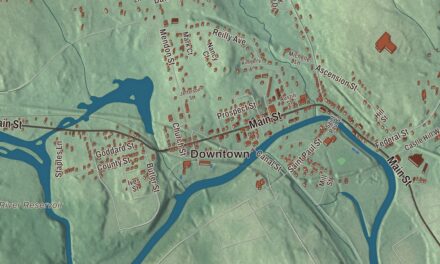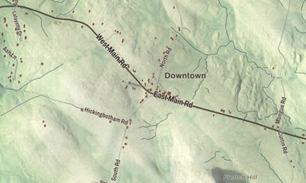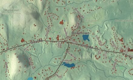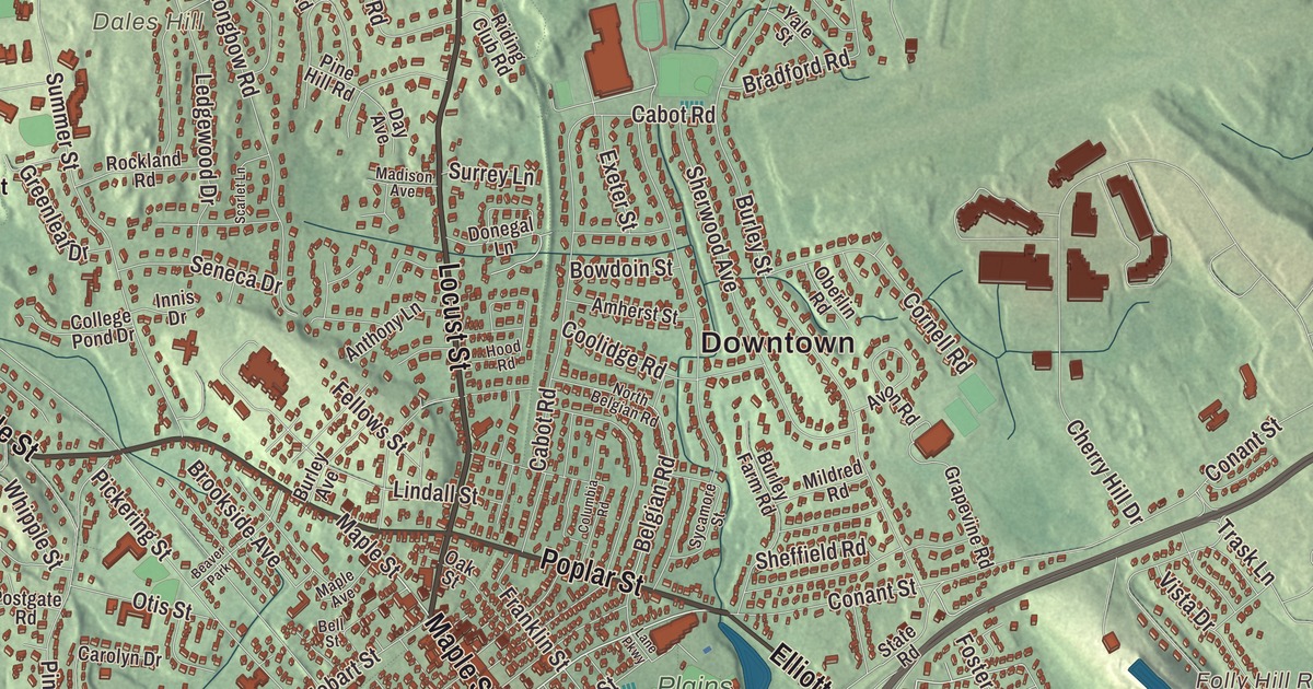
Danvers began as Salem Village, and today it’s a town of villages, from Danversport on the tidal river to Putnamville, Hathorne and Ferncroft. This map prints Maple Street, Locust Street, High Street, Water Street, Poplar Street and Valley Road, with the Putnamville Reservoir, the Folly Hill Reservoir, Crystal Pond, Cherry Hill, Dales Hill and Ferncroft Hill. Click here to purchase a print of this map for your wall.
Danvers is in Essex County, on the Danvers River near the northeastern coast of Massachusetts.
KNOWOL made this map in 2026 from public survey data and gave it the look of an old atlas. The relief comes from United States Geological Survey elevation data, and the streets and the town line come from the Census Bureau. Danvers covers 14.1 square miles, most of it land. It’s at sea level around Danversport, but several of its hills reach about 130 to 180 feet. The town had 28,087 people at the 2020 census.
Salem Village
The land was long home to the Naumkeag branch of the Massachusett people, and around 1630 English colonists improved one of their trails into the Old Spanish Road, linking the area to Salem and Boston. The Town of Danvers’ recorded history, in the Secretary of the Commonwealth’s list, dates European settlement to 1636, when it was settled for good as Salem Village. Here, in 1692, the Salem witch trials began, and Rebecca Nurse, an elderly resident, was among the innocent people convicted and executed. Her house of about 1700 on Pine Street was restored as a museum in 1909 and is part of the Salem Village Historic District today.
The King Unwilling
Salem Village asked to become its own town as early as 1733. In 1752 the General Court set it off from Salem as a self-governing district, not a town, since a royal order barred new towns in Massachusetts, and that’s when it got its name, likely for Danvers Osborn; the town still marks 1752 as its founding on major anniversaries. On June 9, 1757, Massachusetts made Danvers a town anyway, and by legend King George II vetoed the act and returned it with the message “The King Unwilling.” Massachusetts simply ignored the veto, which later went onto the town seal. The state list gives a later date: Danvers was incorporated as a town in 1775. The town remains part of Essex County today, and in 1855 its southern part broke off as South Danvers, later renamed Peabody.
Putnams and Holtens
Lt. Thomas Putnam built the house at 431 Maple Street around 1648, on 100 acres of family farmland, and Putnams lived in it for more than three centuries. In 1692 Joseph Putnam, who lived there then, spoke out against the witch trial hysteria, and his son Israel Putnam, the general who commanded colonial troops at Bunker Hill, was born in the house on January 7, 1718. Samuel Holten, born in Salem Village in 1738, was a physician and judge who represented Massachusetts in the Continental Congress and signed the Articles of Confederation; his house of about 1670 stands at 171 Holten Street.
Onions, carrots and a very old pear tree
Danvers farmers developed two vegetables of their own, the Danvers onion, which gave the town the nickname “Oniontown,” and the Danvers Half-Long carrot, introduced by market gardeners in 1871. Far older is the Endicott Pear Tree, planted between 1628 and 1639 by Governor John Endecott and believed to be the oldest living cultivated fruit tree in North America. In 1809 pears from it were sent to former President John Adams. The town’s other firsts are newer: Danvers Electric, founded in 1889, became the first publicly owned municipal light plant in Massachusetts, and the Danvers Police Department was the first municipal agency in the Commonwealth to be nationally accredited.
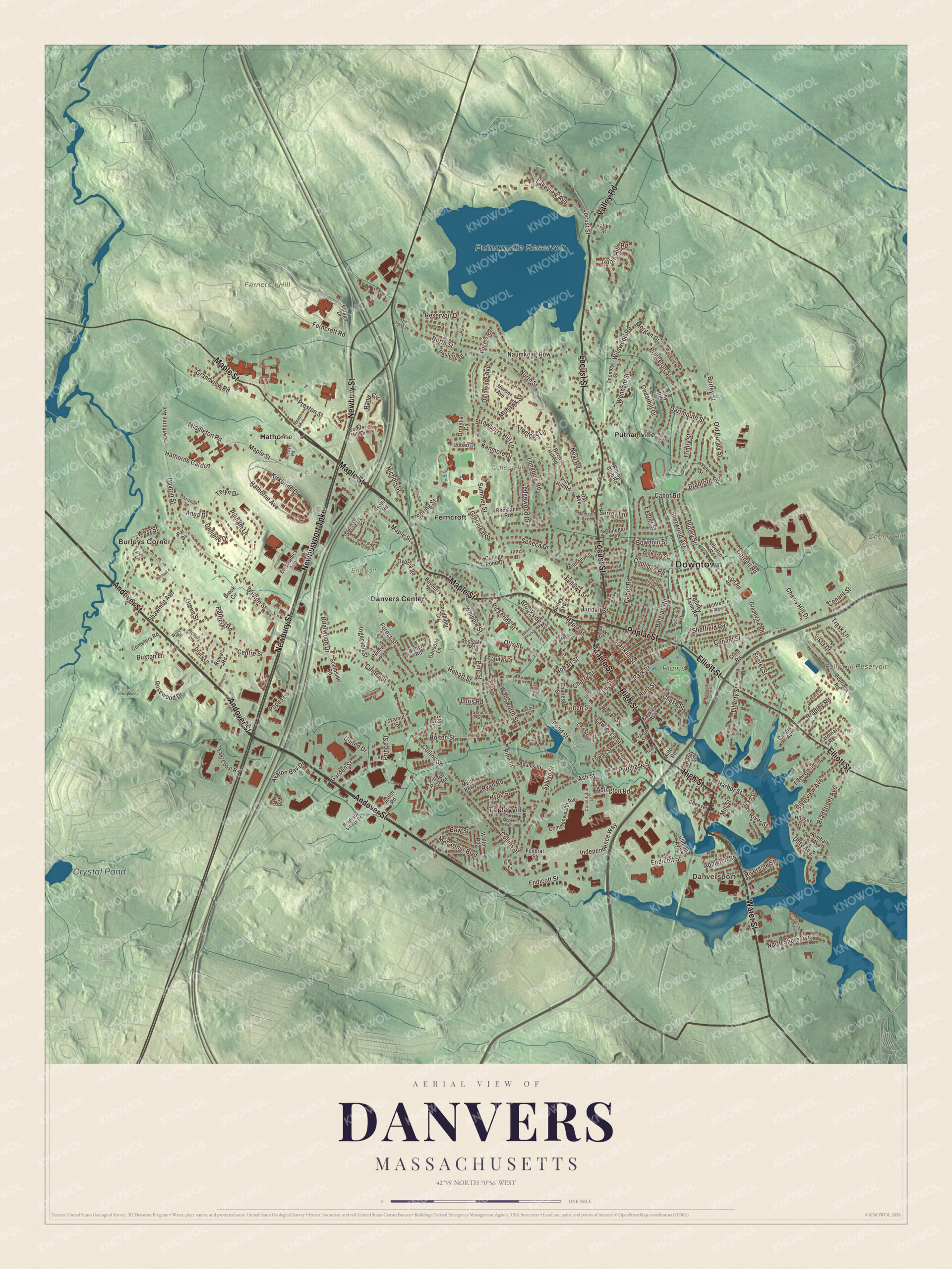
Click to explore a larger preview. The digital watermark does not appear on printed maps.
Names on this map
These names are printed on this map.
Places: Downtown, Danversport, Burleys Corner, Cherry Hill, Dales Hill, Ferncroft Hill, Folly Hill Reservoir, Putnamville Reservoir, Crystal Pond, Danvers Town Forest, Endicott Park, Plains Park, Danvers Center, Ferncroft, Hathorne, Putnamville, Tapleyville and Beaver Park.
Streets and roads: Maple Street, Locust Street, Water Street, High Street, Valley Road, Poplar Street, Andover Street, Newbury Street, Newburyport Turnpike, Elliott Street, Centre Street, Conant Street.
More street names, A to Z
Abington Road, Access Road, Adams Street, Agawam Avenue, Amherst Street, Anna Drive, Anthony Lane, Appleton Street, Ardmore Drive, Ash Street, Auburn Street, Autumn Street, Avalon Bay Drive, Avon Road, Barker Street, Bayberry Road, Bay Drive, Bayview Avenue, Belgian Road, Bell Street, Birch Hill Road, Bowdoin Street, Bow Street, Bradford Road, Bradley Road, Bradstreet Avenue, Braman Street, Brentwood Circle, Briarwood Drive, Brook Circle, Brooksby Village Drive, Brookside Avenue, Burley Avenue, Burley Farm Road, Burley Street, Buxton Lane, Cabot Road, Canal Street, Cardinal Road, Carolyn Drive, Cedarhill Drive, Cemetery Road, Charles Street, Chase Street, Cheever Street, Cherry Hill Drive, Cherry Street, Chester Street, Christian Lane, Clark Street, Clinton Avenue, Colby Road, College Pond Drive, Collins Street, Columbia Road, Commonwealth Avenue, Congress Avenue, Conifer Hill Drive, Constitution Lane, Coolidge Road, Cornell Road, Crane Street, D'Orlando Way, Danielle Drive, Dartmouth Street, Day Avenue, Dayton Street, Delaware Avenue, Donegal Lane, Doty Avenue, Drury Lane, East Coast Road, Eden Glen Avenue, Edmunds Cove Road, Electronics Avenue, Elm Street, Endicott Street, Essex Street, Exeter Street, Fairview Avenue, Federal Street, Fellows Street, Ferncroft Road, Forest Street, Foster Street, Fowler Street, Franklin Street, Gansons Lane, Garden Street, Glendale Drive, Grandview Road, Grapevine Road, Greenleaf Drive, Green Street, Harbor Street, Hardy Street, Hathorne Avenue, Hathorne Garden, Hawthorne Avenue, Hazen Avenue, Healy Court, Hickory Lane, Hobart Street, Hollis Road, Holten Street, Hood Road, Hunt Street, Huron Avenue, Hussey Avenue, Hyde Street, Independence Way, Ingersoll Street, Innis Drive, Iroquois Road, Jacobs Landing, Jersey Lane, Judith Road, Kenmore Drive, Kimball Avenue, Kirkbride Drive, Lakeview Avenue, Lane Parkway, Lawrence Street, Leblanc Drive, Ledgewood Drive, Liberty Street, Lindall Street, Linden Drive, Lobao Drive, Longbow Road, Loris Road, Macarthur Boulevard, Madison Avenue, Maple Avenue, McDermott Farm Road, Mead Street, Mello Parkway, Michael Drive, Middleton Road, Mildred Road, Mill Street, Milton Road, Mohawk Street, Morgan Drive, Naumkeag Row, Neal Road, Nichols Street, North Belgian Road, North Shore Avenue, North Street, Oak Street, Oberlin Road, Old Burley Street, Old North Street, Orrantia Circle, Otis Street, Overlook Road, Oxbow Road, Park Street, Pat Drive, Patricia Road, Paulette Drive, Pickering Street, Pine Hill Road, Pine Street, Pond Street, Popes Lane, Postgate Road, Preston Street, Prince Place, Prince Street, Princeton Street, Purchase Street, Putnam Lane, Rand Circle, Reservoir Drive, Rice Street, Riding Club Road, Riverside Street, River Street, Riverview Avenue, Robert Road, Robin Hill Road, Rockland Road, Rogers Road, Rosewood Drive, Rowell Road, Ryan Road, Sandpiper Circle, Scarlet Lane, Seneca Drive, Shawmut Avenue, Sheffield Road, Sherwood Avenue, Southside Road, Spring Street, Spruce Street, State Road, Stone Street, Strawberry Hill Lane, Summer Street, Surrey Lane, Sycamore Street, Sylvan Street, Taryn Drive, Toomey Street, Trask Lane, Treetops Lane, Trinity Street, United Drive, Valley Street, Village Drive, Village Post Road, Vista Drive, Wadsworth Street, Walnut Street, Walter Road, Warren Street, Wellesley Road, Wenham Street, West Street, Whipple Street, Wildwood Road, Willow Street, Yale Street.
Around the map
Start with Danversport, then follow Maple Street, Locust Street, Water Street, High Street, Valley Road and Poplar Street across town, and look outward toward Burleys Corner, Danvers Center, Ferncroft, Hathorne and Putnamville. These villages date to the late 1800s, when the town had a busy railroad, and Hathorne still has its own post office and ZIP code. The tidal Danvers River begins near the southeast corner of town where the Porter, Crane and Waters rivers meet, and the Ipswich River runs along the western border. At the end of Ingersoll Street, Glen Magna Farms keeps Joseph Peabody’s country estate and the 1794 Derby Summer House by Samuel McIntire, moved there in 1901, and much of the old estate is now Endicott Park. In the north end, the Putnamville Reservoir supplies drinking water to Salem and Beverly, and Dales Hill rises at St. John’s Preparatory School. The Folly Hill Reservoir, the Putnamville Reservoir, Crystal Pond, Cherry Hill, Dales Hill and Ferncroft Hill are all printed on the map.
A Danvers map makes a fine addition to an office, library or den, and it can help teach children the geography and history of the town that was once Salem Village. It’s made for people who call Danvers home, from Danversport to Putnamville, and it shows the town as it looks today. Zoom in on the preview above to explore the details, then click here to get your copy of the Danvers, Massachusetts map.

We made a map for every town and city in Massachusetts. Explore the complete Massachusetts map collection and find your town.
Sources
- Danvers, Massachusetts, Wikipedia
- Rebecca Nurse Homestead, Wikipedia
- General Israel Putnam House, Wikipedia
- Samuel Holten, Wikipedia
- Judge Samuel Holten House, Wikipedia
- Endicott Pear Tree, Wikipedia
- Glen Magna Farms, Wikipedia
- City and Town Incorporation and Settlement Dates, Secretary of the Commonwealth of Massachusetts (archived copy)