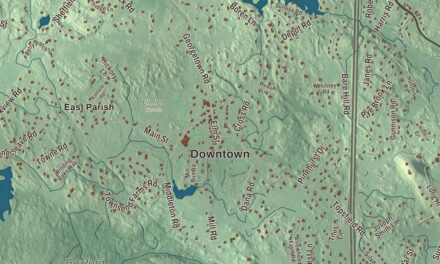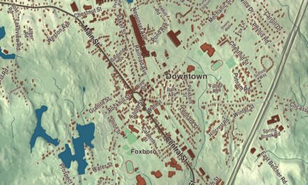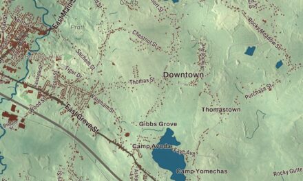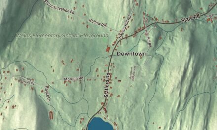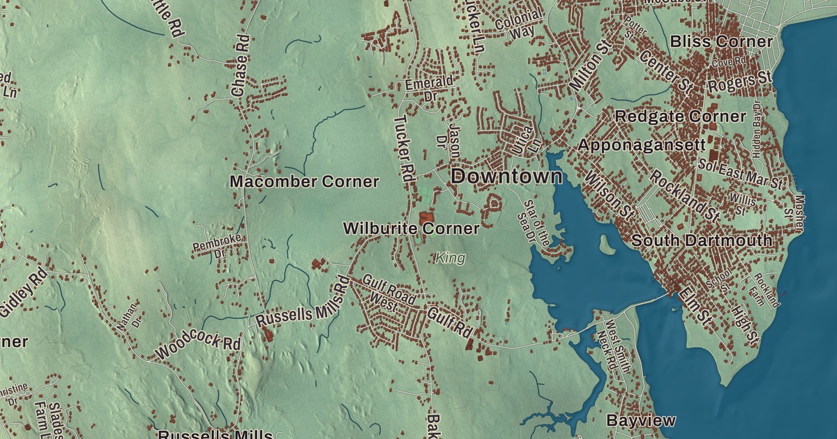
Dartmouth runs about 16 miles from the Freetown line down to Buzzards Bay, with its big commercial districts in the north and working farms, old villages and the harbor at Padanaram in the south. This map prints State Road, the Grand Army Highway, Old Fall River Road, Russells Mills Road, Horseneck Road and Fisher Road, with Allens Pond, the Copicut Reservoir, the Acushnet River Reservoir, Big Pine Island and the Atlantic Ocean. Click here to purchase a print of this map for your wall.
Dartmouth is a coastal town in Bristol County, on the Massachusetts South Coast.
KNOWOL made this map in 2026 from public survey data and gave it the look of an old atlas. The relief comes from United States Geological Survey elevation data, and the streets and the town line come from the Census Bureau. Dartmouth covers 97.5 square miles, 60.9 of them land, and it’s the third-largest town by land area in Massachusetts, after Plymouth and Middleborough. Westport lies to the west, Fall River and Freetown to the north and New Bedford to the east. The town had 33,783 people at the 2020 census.
Old Dartmouth
In the Massachusett language the place was Apponeganset. In 1602 the English explorer Bartholomew Gosnold sailed into Buzzards Bay and explored this coast as far as a hill named Hap’s Hill, now Round Hill, and found the coast covered in fields of flowers and groves of beech and cedar. On March 7, 1652, colonists from Plymouth bought a tract of 115,000 acres, Old Dartmouth, which now holds Dartmouth, Westport, New Bedford, Acushnet and Fairhaven, from the Wampanoag leaders Ousamequin (Massasoit) and his son Wamsutta. The Wampanoag later disputed the sale, since owning land outright was a foreign idea to them. The Town of Dartmouth’s recorded history, in the Secretary of the Commonwealth’s list, dates European settlement to 1650; the town’s own page puts the first English settlers here around November 1652. Dartmouth was incorporated as a town in 1664, and the town remains part of Bristol County today. June 8, 2014, was the 350th anniversary of its incorporation.
The Quakers of Apponegansett
Quakers, who had faced persecution in the Puritan colonies, were among the earliest settlers here, and by 1691 they were a majority of Old Dartmouth. In 1699, with Peleg Slocum’s support, they built their first meetinghouse on the land along Russells Mills Road where the Apponegansett Meeting House stands now. That building went up in 1791, and it’s the oldest Quaker meetinghouse in southeastern Massachusetts, with a burial ground for many of the town’s early settlers; about a thousand Quakers worshipped there in the 1790s. In 1723 John Akin, a local tax collector, refused to collect taxes the General Court had imposed, and was sentenced to fifteen months in prison; after his case went before the Governor’s Council he was released, and the Akin House page says that marks the end of the persecution of Quakers in Massachusetts.
His son Elihu Akin was a shipbuilder at what was then Akin’s Landing. In September 1778 he drove three Loyalists out of the village, and British raiders in Grey’s raid burned most of it, his properties above all. He moved to his one remaining house, built in 1762 on Potters Hill, and in his honor the village was called Akin’s Wharf for 20 years after the war. Around 1805 an early resident, Laban Thatcher, gave it the name it keeps, Padanaram, after the biblical Paddan Aram.
Russells Mills and Round Hill
The Russell family settled at the mouth of Destruction Brook on the Paskamanset River in the 1670s, dammed the river and started grinding grain and sawing lumber. Russells Mills became an early mill village that flourished into the 1850s, and today its historic district runs along Russells Mills, Horseneck and Fisher Roads, with Davolls General Store, established in 1793, a stone animal pound of 1831 and a house estimated to date from 1670, Dartmouth’s oldest surviving building. Down on the bay, Round Hill became the estate of “Colonel” Ned Green, son of the famous financier Hetty Green, and in 1933 the physicist Robert J. Van de Graaff built the world’s largest air-insulated Van de Graaff generator there, now at Boston’s Museum of Science.
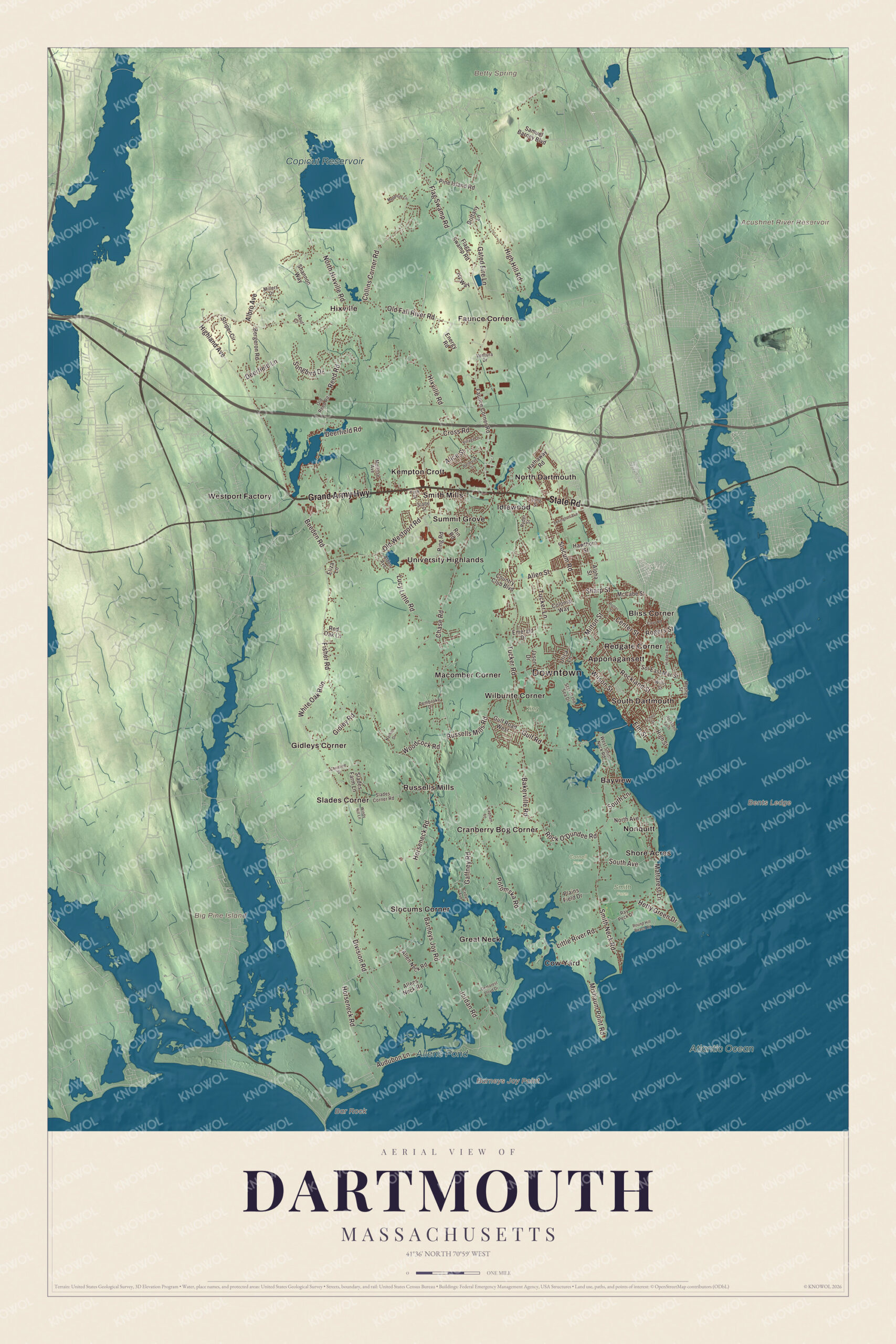
Click to explore a larger preview. The digital watermark does not appear on printed maps.
Names on this map
These names are printed on this map.
Places: Downtown, Bar Rock, Barneys Joy Point, Bents Ledge, Big Pine Island, Acushnet River Reservoir, Betty Spring, Copicut Reservoir, Allens Pond, Atlantic Ocean, Cornell Farm, King, Smith Farm, Apponagansett, Bayview, Bliss Corner, Cow Yard, Cranberry Bog Corner, Faunce Corner, Gidleys Corner, Great Neck, Hixville, Idlewood, Kempton Croft, Macomber Corner, Nonquitt, North Dartmouth, Redgate Corner, Russells Mills, Shore Acres, Slades Corner, Slocums Corner, Smith Mills, South Dartmouth, Summit Grove, University Highlands, Westport Factory and Wilburite Corner.
Streets and roads: Grand Army Highway, State Road, Horseneck Road, Old Fall River Road, Russells Mills Road, Fisher Road, Reed Road, Division Road, Smith Neck Road, Hixville Road, Chase Road, Rock O'Dundee Road.
More street names, A to Z
Abut Court, Albro Avenue, Alden Avenue, Alice Street, Allen Neck Road, Allens Neck Road, Allen Street, Alpha Street, Audubon Lane, Bakerville Road, Barneys Joy Road, Beeden Road, Bellevue Street, Bergeron Road, Brittany Lane, Cedar Avenue, Center Street, Christine Drive, Collins Corner Road, Colonial Way, Country Club Boulevard, Cove Road, Cross Road, Deerfield Lane, Deerfield Road, Demarest Lloyd Drive, Eliza Lane, Elm Street, Emerald Drive, Energy Road, Faunce Corner Road, Flagg Swamp Road, Flag Swamp Road, Gaffney Road, Gated Fire Lane, Gidley Road, Gulf Road, Gulf Road West, Hathaway Road, Hawthorn Street, Hetty Green Drive, Hidden Bay Drive, High Hill Road, Highland Avenue, High Street, Ivy Way, Jason Drive, Jordan Road, Lapham Lane, Lexington Avenue, Little River Road, Lucy Little Road, Lyng Street, Mattarest Lane, McCabe Street, Medeiros Lane, Melrose Avenue, Millers Drive, Milton Street, Mishaum Point Road, Mosher Street, Nathan Drive, North Avenue, North Hixville Road, Old Reed Road, Old Westport Road, Pembroke Drive, Pine Island Road, Plains Field Drive, Potomska Road, Potter Street, Ray Peck Drive, Red Oak Lane, Ring Road, Rin Road, Rockland Farm, Rockland Street, Rogers Street, Round Hill Beach Road, Ryder Street, Samuel Barney Boulevard, School Street, Shannon Way, Sharp Street, Slades Corner Road, Slades Farm Lane, Slade Street, Slocum Road, Sol East Mar Street, Songbird Drive, South Avenue, South Lane, Star of the Sea Drive, Striper Circle, Tucker Lane, Tucker Road, Utica Lane, Ventura Drive, Village Drive, West Smith Neck Road, White Oak Run, Willis Street, Wilson Street, Windy Hill Lane, Woodcock Road, York Street.
See it on a wall
The Dartmouth map as a framed print. Swipe for more.


Around the map
Start with Apponagansett, then follow the Grand Army Highway, State Road, Horseneck Road, Old Fall River Road, Russells Mills Road and Fisher Road across town, and look outward toward Bayview, Bliss Corner, Cow Yard, Cranberry Bog Corner and Faunce Corner. In the north, Interstate 195 and U.S. Route 6 run side by side through the business district, and the highest ground in town, just over 256 feet, is north of Old Fall River Road. The Southeastern Massachusetts Bioreserve protects the forests of North Dartmouth around Faunce Corner and Hixville. Rivers such as the Slocums and the Little River run north to south through town, and Demarest Lloyd State Park has a calm 600-yard beach by the mouth of the Slocums River. The Dartmouth Natural Resource Trust, founded in 1971, has protected 5,400 acres since then, with 35 miles of trails. The Acushnet River Reservoir, the Copicut Reservoir, Allens Pond, the Atlantic Ocean and Big Pine Island are all printed on the map.
A Dartmouth map makes a fine addition to an office, library or den, and it can help teach children the geography and history of the South Coast town their family comes from. It’s made for people who call Dartmouth home, from Padanaram to Faunce Corner, and it shows the town as it looks today. Zoom in on the preview above to explore the details, then click here to get your copy of the Dartmouth, Massachusetts map.

Sources
- Dartmouth, Massachusetts, Wikipedia
- Round Hill (Dartmouth, Massachusetts), Wikipedia
- Apponegansett Meeting House, Wikipedia
- Elihu Akin House, Wikipedia
- Padanaram, Massachusetts, Wikipedia
- Russells Mills Village Historic District, Wikipedia
- Demarest Lloyd State Park, Wikipedia
- City and Town Incorporation and Settlement Dates, Secretary of the Commonwealth of Massachusetts (archived copy)