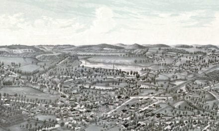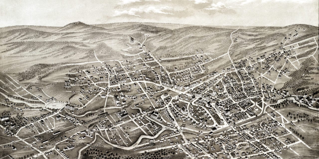
This old map of Hyde Park, Massachusetts was created in 1879 by O.H. Bailey, a prominent 19th century map maker. The map shows a bird’s eye view of Hyde Park as it used to be, including street names and old landmarks.
Historic Hyde Park landmarks on the map include New York & New England Railroad Car Shops, American Tool and Machine Company, Hyde Park Woolen Mill, Brainard Milling Machine Company, Smithfield Manufacturing, Clarenden Hill Evangelical Church, St Johns Church, and more.
This historic map of Hyde Park has been restored by KNOWOL. Reproductions of the map are available here.
Bird’s Eye View of Hyde Park, Mass in 1879
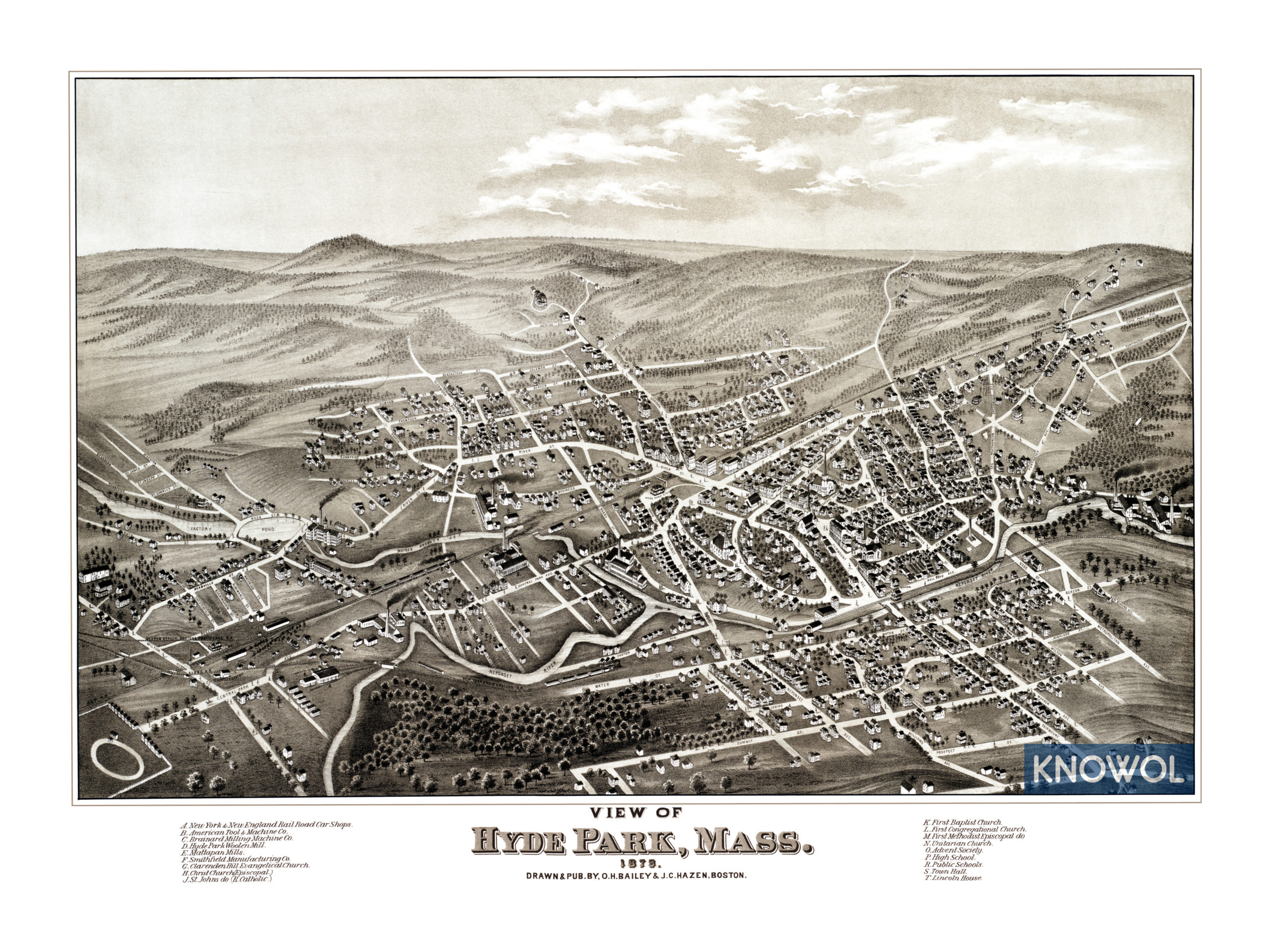
This historic map of Hyde Park will make an attractive addition to your office, library, or den and can even be used to teach children the geography and history of the area. When you’re done exploring, click here to get your copy.