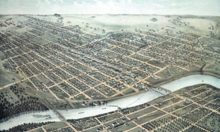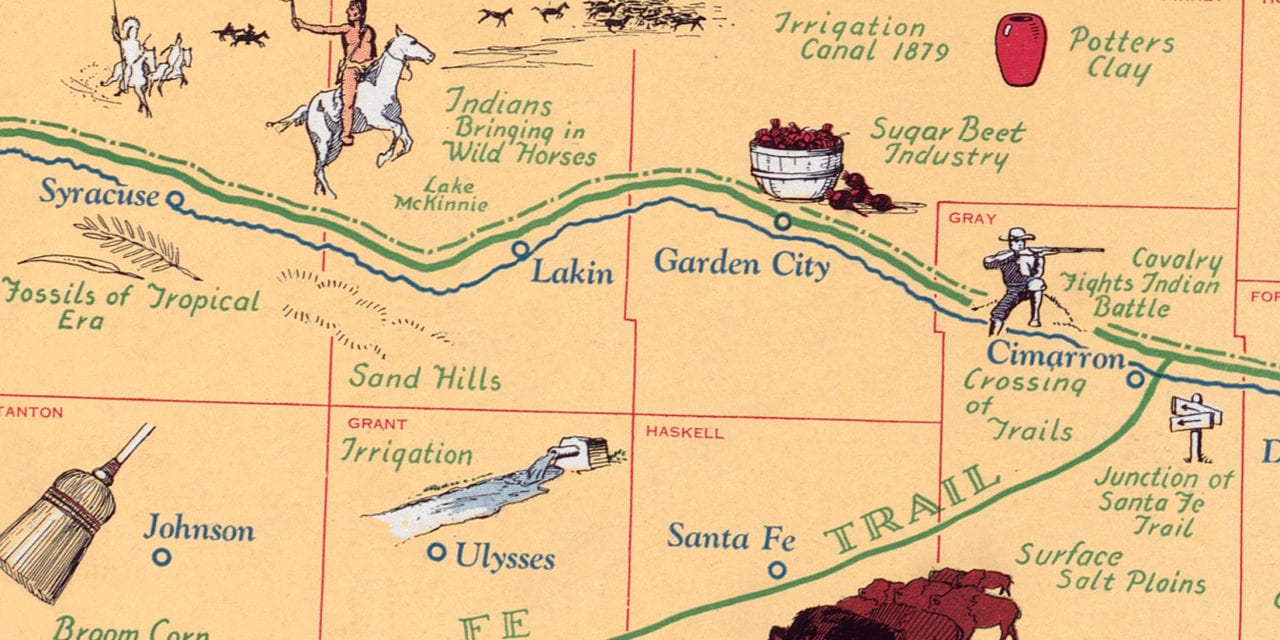
This map is titled “Pictorial Map of Kansas, a one page history dedicated to the Old Timers”. The map was originally created in 1930 by Herschel C. Logan, an illustrator from Salina. His detailed illustrations beautifully depict historical facts and locations from Kansas history.
A note on the map reads:
The State of Kansas is so rich in historical lore that it is manifestly impossible to include every point of historical prominence or interest on a map of this nature.
It has been necessary to leave off many things that some deem should be on the map and include others of less importance because of either lack of space or need for additional material in certain sections in order to give proper balance.
A great deal of credit is due the many individuals and organizations, particularly the Kansas Historical Society, for their help in gathering and checking the authenticity of historical data.
This historic map of Kansas was restored by KNOWOL. Reproductions of the restored map are available here. You can explore the full map by clicking on the image below.
Historic Pictorial Map of Kansas, 1930
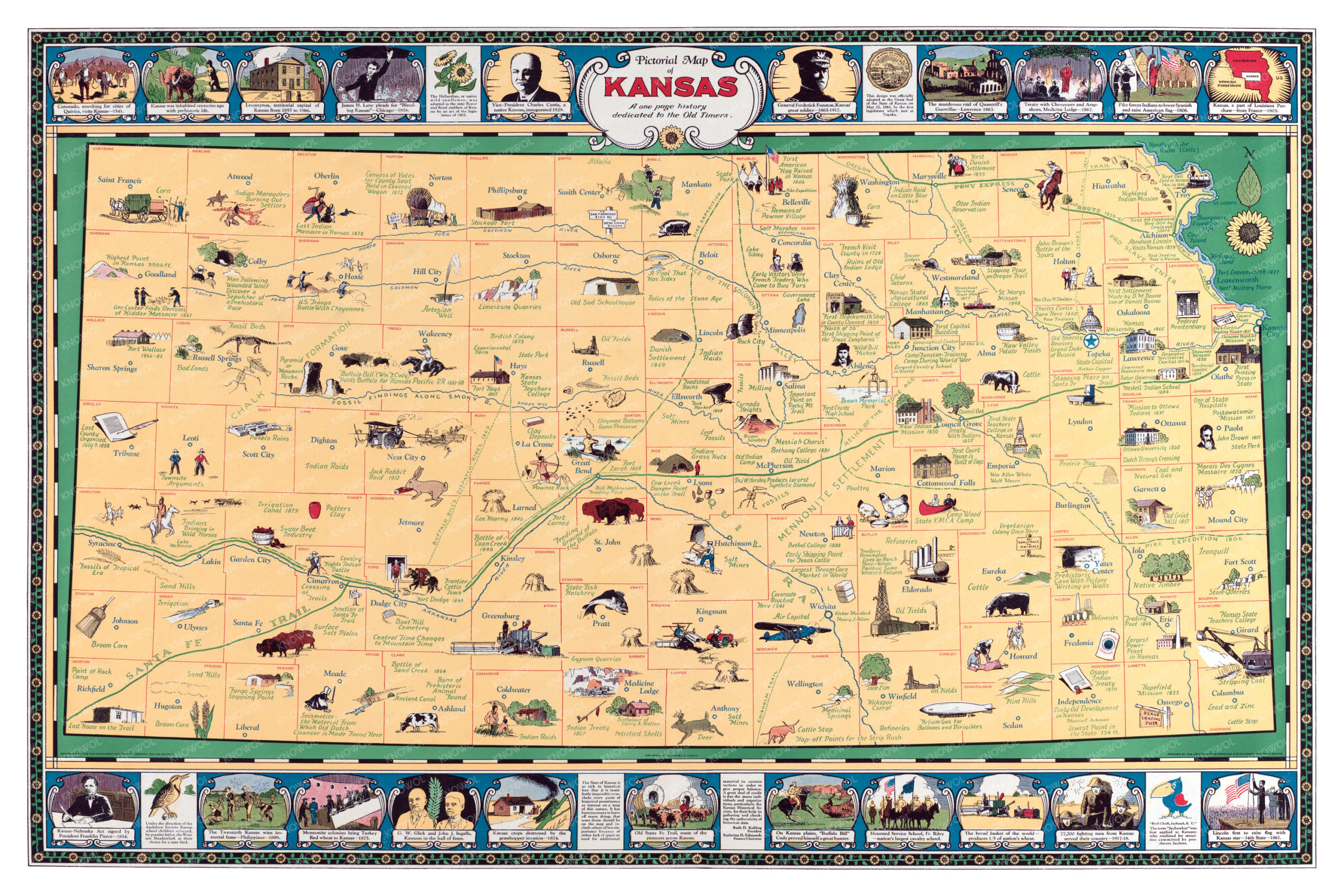
The map highlights historic locations such as the route of the Pony Express, the first American Flag raised in Kansas, Fargo Springs Stopping Point, Battle of Sand Creek, Artesian Wells, First Teachers College in Kansas, vegetarian colony in Greenwood County, prehistoric caves, the Old Santa Fe Trail, and more.
This map of Kansas will make an attractive addition to your office, library, or den and can even be used to teach children the geography and history of the area. When you’re done exploring, click here to get your copy of the restored map.