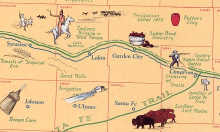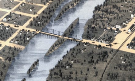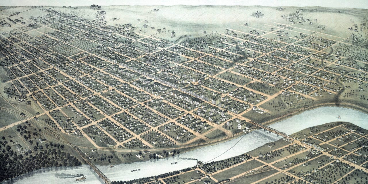
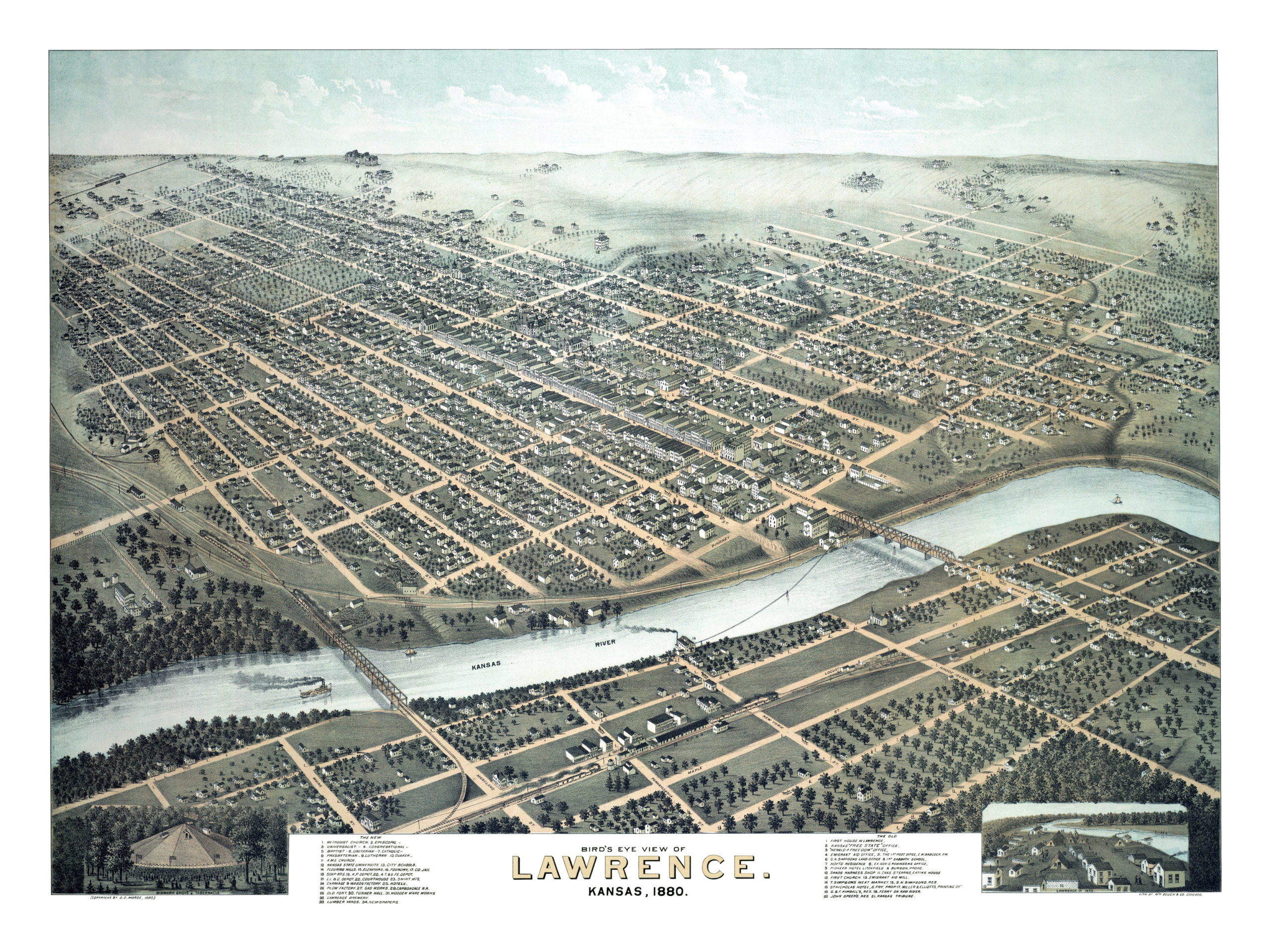
This map of Lawrence, Kansas was created in 1880 by D.O. Morse and printed by Zeuch & Company of Chicago. The map shows a bird’s eye view of Lawrence as it used to be, including street names and old landmarks.
Landmarks on the map include the University of Kansas (then known as Kansas State University), Bismark Grove & Tabernacle, City Schools, Flouring Mills, Carriage & Wagon Factory, Lawrence Brewery, Simpsons Meat Market, and more.
This historic map of Lawrence has been restored by KNOWOL. Reproductions of the restored map are available here.
Bird’s Eye View of Lawrence, KS in 1880
This vintage map of Lawrence will make an attractive addition to your office, library, or den and can even be used to teach children the geography and history of the area. When you’re done exploring, click here to get your copy of the restored map.