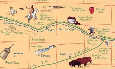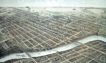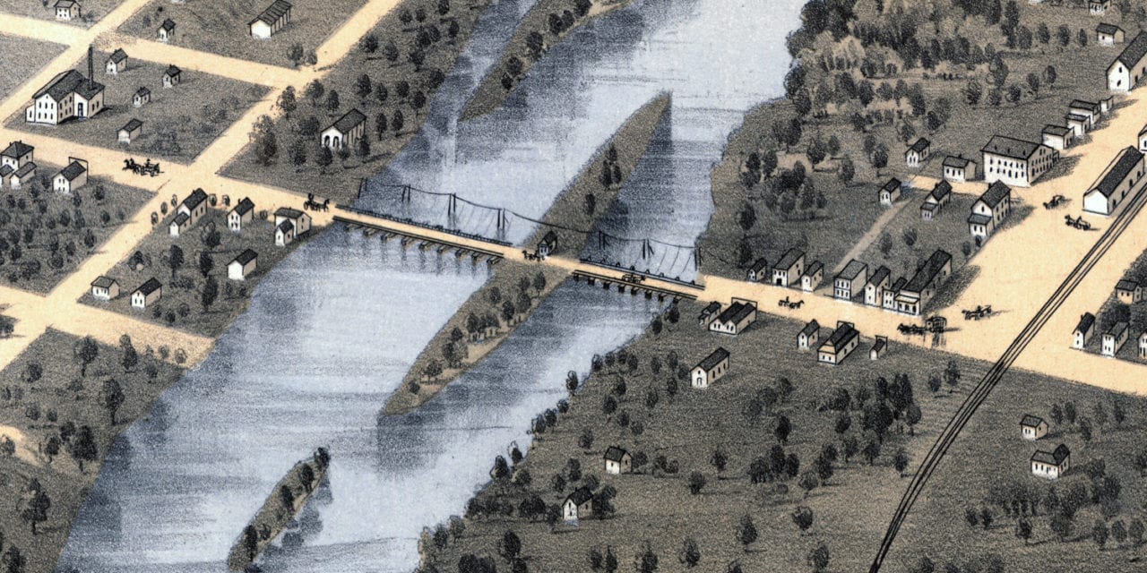
This historic map of Topeka, Kansas was created in 1869 by Albert Ruger, a prominent 19th century map maker. The map shows a bird’s eye view of the area as it once was, including street names and old landmarks.
Landmarks on the map include the Kansas State Capitol, Court House, Public Schools, Episcopal Female Seminary, Washburn College, Union Pacific Railroad Depot, Northern Pacific Railroad Depot, and more.
This vintage map of Topeka was restored by KNOWOL to preserve its historic value for those who call Topeka home, now and in the future. Reproductions of the restored map are available here.
Historic Old Map of Topeka, Kansas from 1869
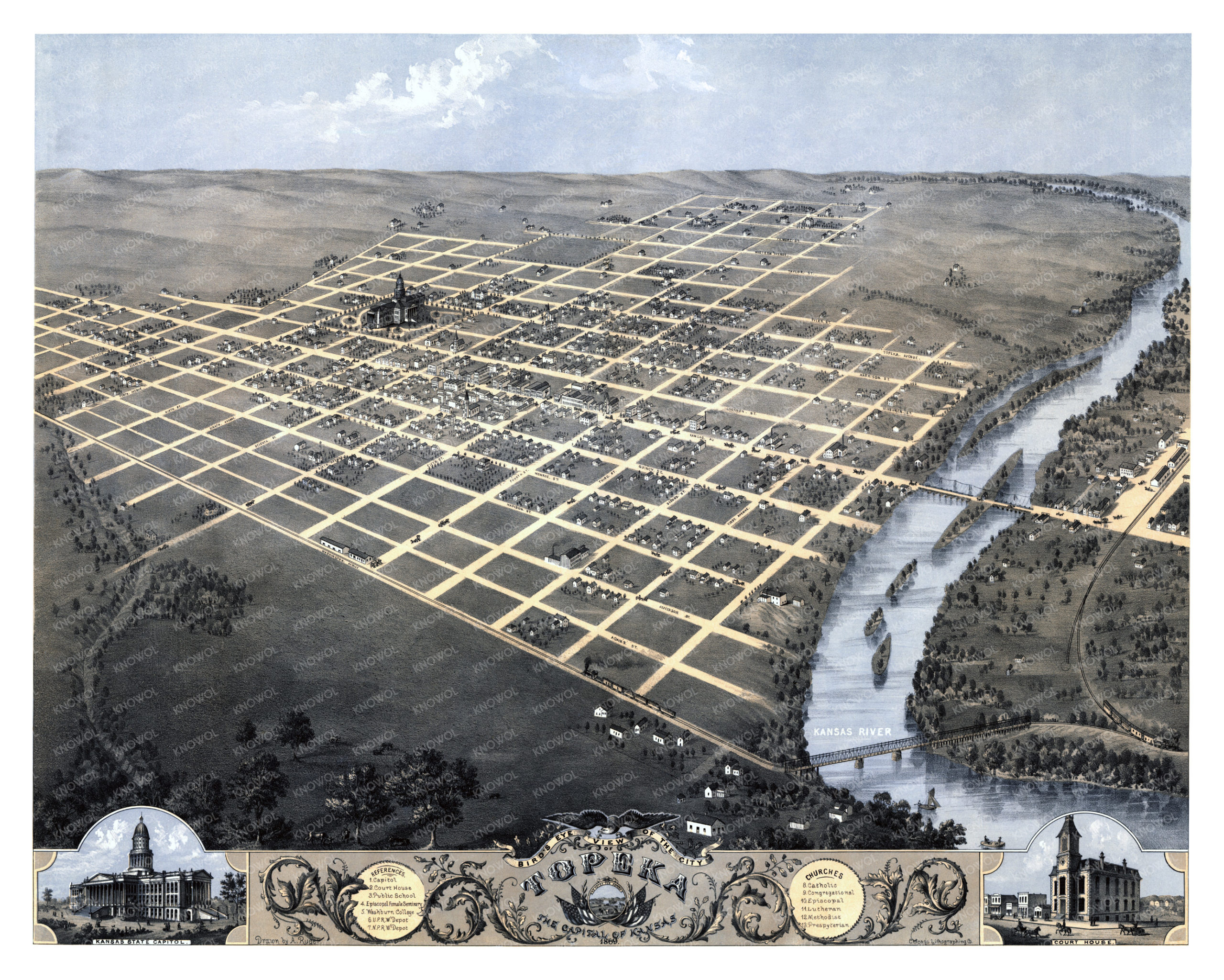
This old map of Topeka will make an attractive addition to your office, library, or den and can even be used to teach children the geography and history of the area. When you’re done exploring, click here to get your copy of the restored map.