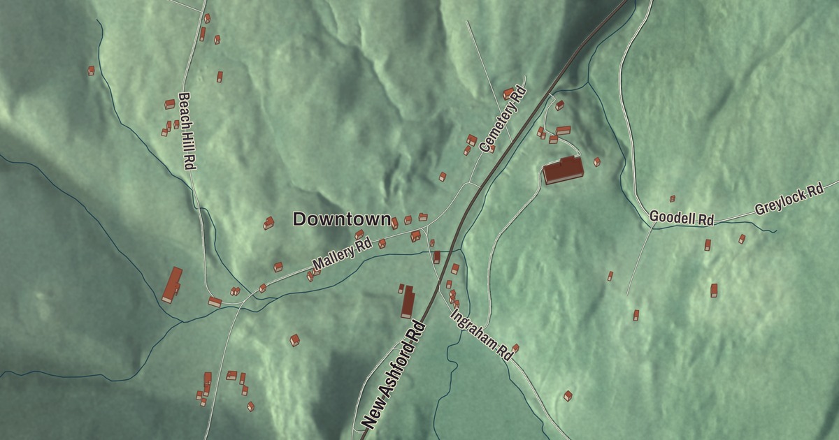
New Ashford sits in a small valley in the Taconic Mountains, with the Mount Greylock range rising to the east. This map follows its handful of roads up the valley: New Ashford Road, Greylock Road, Goodell Road, Bauers Road, Ingraham Road and Mallery Road, with Brodie Mountain printed along the western edge. Click here to purchase a print of this map for your wall.
New Ashford is in Berkshire County.
KNOWOL made this map in 2026 from public survey data and gave it the look of an old atlas. The ridges and hollows come from United States Geological Survey elevation data, and the roads and the town line come from the Census Bureau. New Ashford covers 13.5 square miles and had 250 people at the 2020 census. It sits in a small natural valley in the Taconic Mountains, 11 miles north of Pittsfield, with Williamstown to the north, Adams to the east, Cheshire to the southeast, Lanesborough to the south and Hancock to the west. U.S. Route 7 runs through the center of town as its main road.
The town that voted first
The Town of New Ashford’s recorded history dates European settlement to 1762. The settlers came from Ashford, Connecticut, and named the new town for it, and New Ashford was incorporated as a town on November 4, 1835. The town remains part of Berkshire County today. It has mostly been a farming community, with few mills ever set up here.
For a few years beginning in 1916, this small town cast the first vote in United States presidential elections, the way Dixville Notch, New Hampshire does today. After the Nineteenth Amendment was ratified, New Ashford’s poll was where Phoebe Jordan became, in the town page’s words, the first woman to vote in a national election, on November 2, 1920. The old wooden ballot box used that day still sits in the town hall, and the town still uses it.
The mountains on either side
Mount Greylock State Reservation rises to the east, and the summit of Mount Greylock itself sits just northeast of town. Saddle Ball Mountain, part of the same range, is New Ashford’s highest point at 3,220 feet, and the Mount Greylock Scenic Drive crosses the eastern part of town on its way to the peak, as does the Appalachian Trail.
Brodie Mountain runs along the western border and peaks in neighboring Hancock. The town page dates skiing on it to 1939, on the Gregory Makaroff farm. The Brodie resort, which its own page says opened in 1964, was Jim Kelly’s “Irish Alps,” with trails called Shamrock and Killarney, snowmaking from top to bottom and lighted night skiing. The owners of nearby Jiminy Peak bought it in 1999 and closed it in 2002, though snow tubing went on there with Jiminy Peak for a few more winters. Part of the mountain now holds the Berkshire Wind Power Project, a 10-turbine wind farm that began commercial operation in 2011.
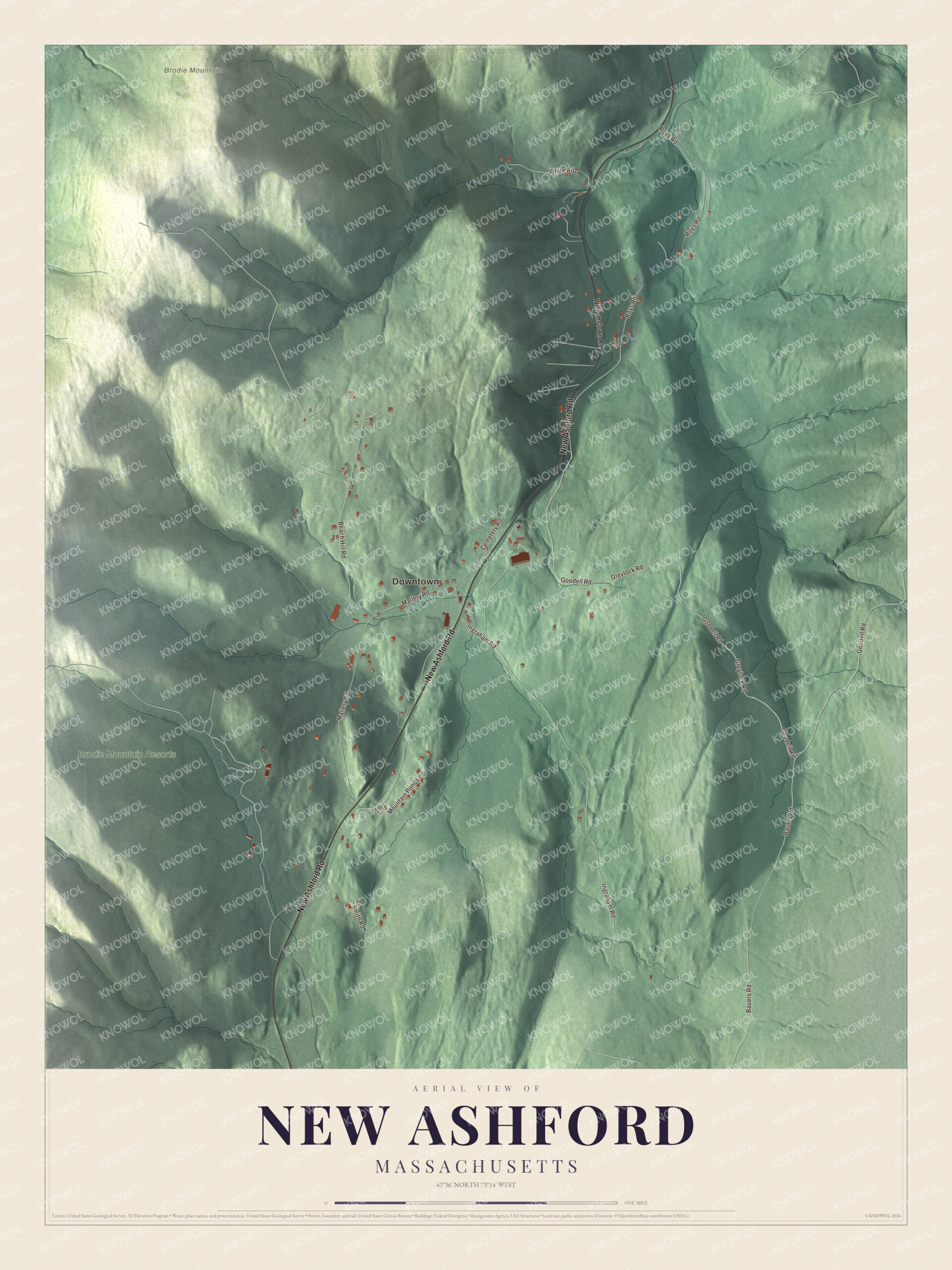
Click to explore a larger preview. The digital watermark does not appear on printed maps.
Names on this map
These names are printed on this map.
Places: Downtown, Brodie Mountain and Brodie Mountain Resorts.
Streets and roads: New Ashford Road, Greylock Road, Goodell Road, Bauers Road, Ingraham Road, Mallery Road, Roys Road, Beach Hill Road, Smith Road, White Road, Mountain Pond Lane, Cemetery Road.
More street names, A to Z
Old Route 7, Williamstown Road.
Around the map
Start with New Ashford Road, then follow Greylock Road, Goodell Road, Bauers Road, Ingraham Road and Mallery Road across town. Brodie Mountain is labeled on the map, and that name is printed right on the artwork, a good place to begin, and every smaller road is drawn too.
The New Ashford map makes a fine addition to an office, library or den, and it can help teach children the geography and history of a valley town that once voted first. It’s made for people who call New Ashford home, from the valley floor to the slopes of Brodie Mountain, and it shows the town as it looks today. Zoom in on the preview above to explore the details, then click here to get your copy of the New Ashford, Massachusetts map.

We made a map for every town and city in Massachusetts. Explore the complete Massachusetts map collection and find your town.
Sources