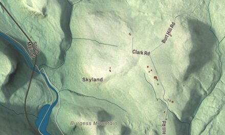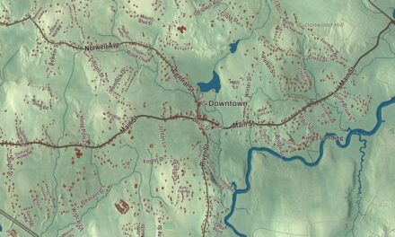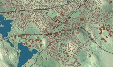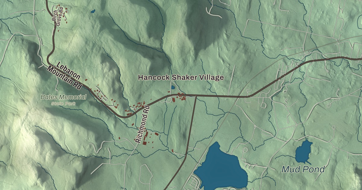
If you know Hancock, you know the long valley between two Taconic ridges, the ski trails on Jiminy Peak and the round stone barn at Hancock Shaker Village down at the south end of town. This map prints Hancock Road, Goodrich Road, Brodie Mountain Road, Main Street, Rathbun Road and Kittle Road, with Beoadic Mountain, Brodie Mountain, Appletree Hill and a scatter of ponds. Click here to purchase a print of this map for your wall.
Hancock is in Berkshire County.
KNOWOL made this map in 2026 from public survey data and finished it with the look of an old atlas. United States Geological Survey elevation data gives the ridges their shape, and the roads and the town line come from the Census Bureau. Hancock covers 35.8 square miles along the New York line, and it had 757 people at the 2020 census. Most of the northern half of town sits in a valley with the Taconic Mountains on each side. The north end drains to the west branch of the Green River, and the south end holds the headwaters of Kinderhook Creek, which flows southwest into New York.
Jericho, then Hancock
The town page says Hancock was first settled in 1762 as the Plantation of Jericho. The Town of Hancock’s recorded history, in the Secretary of the Commonwealth’s list, dates European settlement to 1767. Hancock was incorporated as a town in 1776, and it took the name of John Hancock. The town remains part of Berkshire County today.
Two state roads cross Hancock, and they never meet inside it. Route 43, the main road through town, comes down from Williamstown and turns along Kinderhook Creek into New York, while U.S. Route 20 crosses the southern end between Pittsfield and the state line. The town page notes that no road within Hancock connects the two. It also counts Hancock as one of only three towns in Massachusetts whose local telephone service didn’t come from the old Bell System. Its exchange belongs to the Taconic Telephone Corporation, whose other exchanges are all in New York, and the other two towns are Richmond and Granby.
The Shakers of Hancock
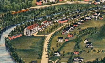
Around 1780 some Hancock families took up the teachings of the Shakers, a religious order that held to pacifism, celibacy and communal living. Converts from New Lebanon, Hancock, West Pittsfield and Richmond joined in the 1780s, among them Valentine Rathbun and much of his family and several members of the Goodrich family. By 1790 the believers of Hancock and Pittsfield had organized Hancock Shaker Village. Its own page calls it the third of nineteen major Shaker villages, and from 1790 until 1893 it was the seat of a bishopric that also oversaw the Shaker communities at Tyringham and at Enfield, Connecticut.
The Hancock Shakers lived mainly by farming, and selling garden seeds was the best paying of their early trades. By the 1830s some 300 of them owned about 3,000 acres. Their Round Stone Barn, built in 1826, held up to 70 cows, and ox wagons could drive in on an upper level, drop their hay and roll out again without backing up. In 1830 they built a large red brick dwelling for more than 100 brothers and sisters, with water piped indoors. As the movement dwindled, the last Shakers sold the property, and the village now runs as an open-air museum. It was named a National Historic Landmark District in 1968.
Brodie Mountain and Jiminy Peak
The northeastern town line runs along the Taconic peaks of Brodie Mountain, Sheeps Heaven Mountain and Jiminy Peak. Brodie Mountain is a ridge 5.5 miles long shared by Hancock, Lanesborough, New Ashford and Williamstown, and its page names Beoadic Mountain as the ridge’s high point. The old Brodie Mountain ski area closed in 2002. Since 2011 the ten turbines of the Berkshire Wind Power Project have turned on the southern part of the ridge, and the ridge’s page calls it the largest operating wind farm in Massachusetts.
The Jiminy Peak ski resort sits in Hancock, though the summit itself is in Lanesborough. It has 45 trails, and in August 2007, by its page, it became the first private business in the United States to invest in its own megawatt class wind turbine. Along the western line stand Misery Mountain and Rounds Mountain, and a summit of Misery Mountain, at 2,671 feet, is the highest point in Hancock.
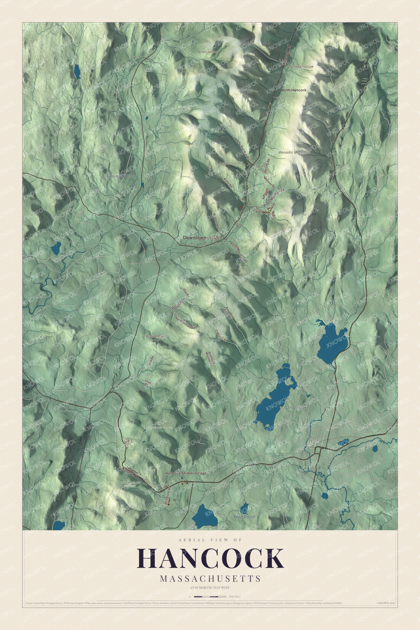
Click to explore a larger preview. The digital watermark does not appear on printed maps.
Names on this map
These names are printed on this map.
Places: Downtown, Hancock Shaker Village, Allen Hollow, Appletree Hill, Bentley Hollow, Beoadic Mountain, Beaver Pond, Onota Lake, Mud Pond, Griswold Pond, Bates Memorial State Park, Pittsfield State Forest and North Hancock.
Streets and roads: Hancock Road, Goodrich Road, Brodie Mountain Road, Main Street, Rathbun Road, Kittle Road, Potter Mountain Road, Madden Road, Tower Mountain Road, Cascade Street, Bird Road, Richmond Road.
More street names, A to Z
Berry Pond Circuit Road, Birch Grove Road, Brickhouse Mountain Road, Clark Road, Corey Road, Dee Road, Jericho Road, Lebanon Mountain Road, Smith Road, Spruce Lane, Taylor Road, Whitman Road.
See it on a wall
The Hancock map as a framed print. Swipe for more.


Around the map
Start with Hancock Shaker Village. Follow Hancock Road, Goodrich Road, Brodie Mountain Road, Main Street, Rathbun Road and Kittle Road across town, then look outward toward North Hancock. Beaver Pond, Onota Lake, Mud Pond, Griswold Pond, Appletree Hill, Beoadic Mountain, Allen Hollow and Bentley Hollow are all printed on the map, and every one of those names is right there on the artwork. Onota Lake lies across the line in Pittsfield, which owns all 617 acres of it.
The Hancock map makes a handsome addition to an office, library or den, and it can help teach children the geography and history of a Shaker town in the Taconic hills. It’s made for people who call Hancock home, from North Hancock down to the Shaker village, and it shows the town as it looks today. Zoom in on the preview above to explore the details, then click here to get your copy of the Hancock, Massachusetts map.

Sources