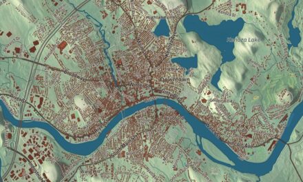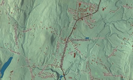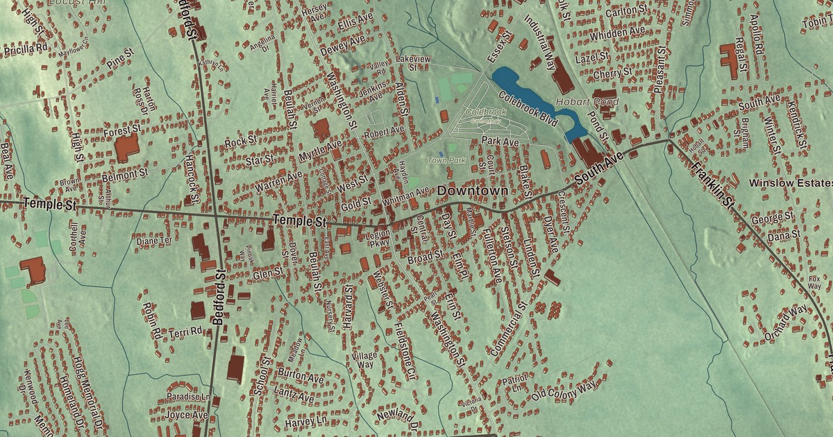
This aerial map of Whitman, Massachusetts was created in 2026 using real geographic data to bring the town’s streets, buildings, neighborhoods, ponds and waterways, parks, mountains and ridgelines, and terrain together in one highly detailed view. Look closer and you can pick out the familiar places that make Whitman feel like home. Start with the street you know, then see how it connects to the rest of the Whitman you call home. Click here to purchase a print of this map for your wall.
Explore an aerial view of Whitman, Massachusetts
Start with Downtown and Rye Hill. Follow Auburn Street, Washington Street, South Avenue, Bedford Street, Temple Street, and Plymouth Street across town. Then look outward toward Auburnville.
Hobart Pond, Hunts Pond, Bear Meadow, Town Park, Beech Hill, Locust Hill, and Hobart Meadow are all labeled on the map. Every one of those names is printed directly on the artwork, giving you plenty to explore.
The Town of Whitman’s recorded history dates European settlement to 1670. Whitman was incorporated as a town in 1875. The town remains part of Plymouth County today. Click the image below to see the area as it looked in 2026.
Take a closer look at the Whitman map
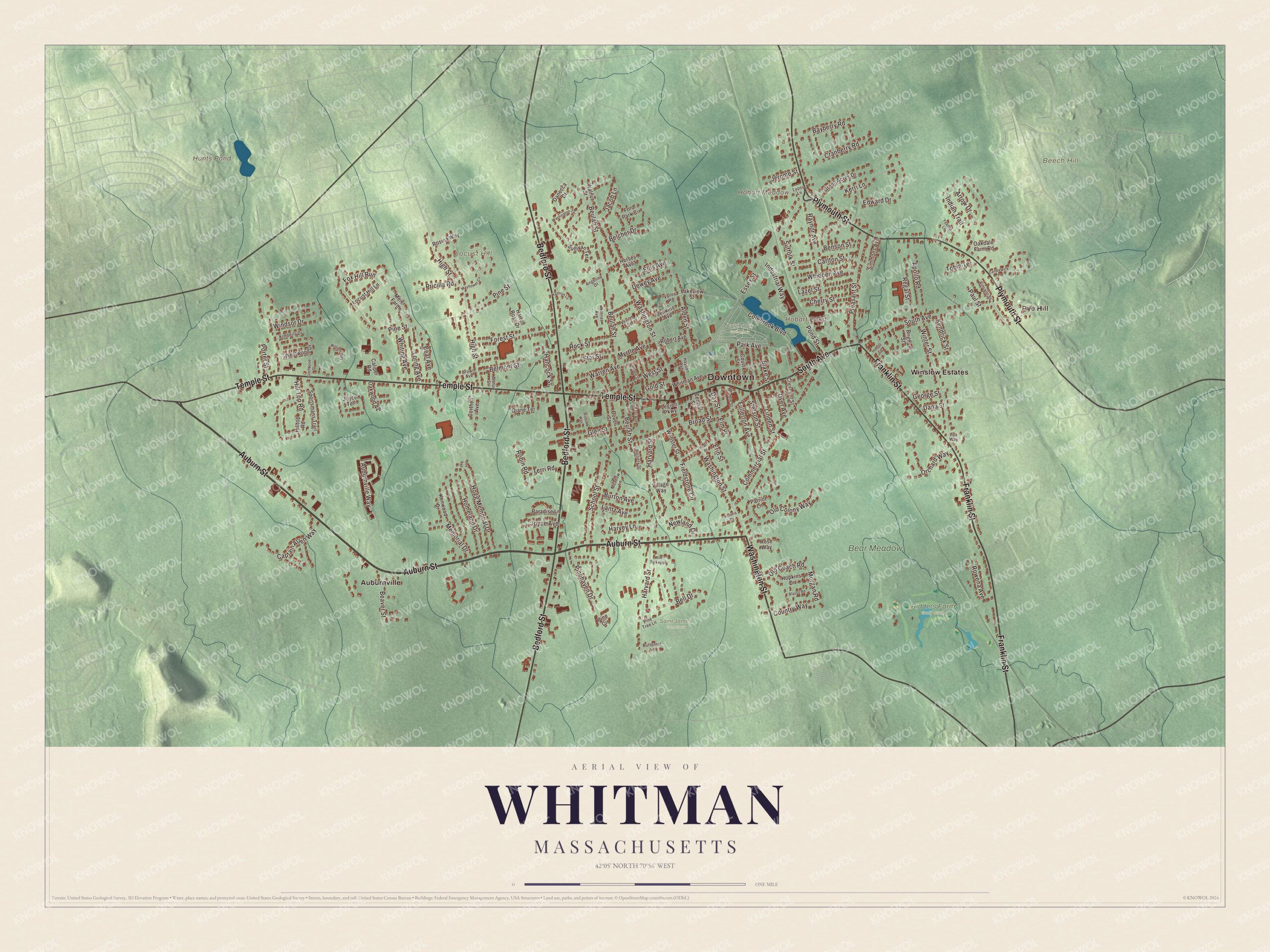
Click to explore a larger preview. The digital watermark does not appear on printed maps.
Names on this map
These names are printed on this map.
Places: Downtown, Rye Hill, Beech Hill, Hobart Meadow, Locust Hill, Hobart Pond, Hunts Pond, Bear Meadow, Colebrook Cemetery, Ridders Farm Golf Club, Saint James Cemetery, Town Park, Auburnville and Winslow Estates.
Streets and roads: Auburn Street, Washington Street, South Avenue, Bedford Street, Temple Street, Plymouth Street, Franklin Street, Pleasant Street, Edward Drive, Pine Street, Beulah Street, Harvard Street.
More street names, A to Z
Alden Street, Angelina Drive, Apollo Road, Arrow Drive, Arthur Street, Auburnville Way, Bayberry Road, Beal Avenue, Beaver Street, Belcher Drive, Bell Drive, Belmont Street, Benson Street, Blake Street, Blauss Road, Brigham Street, Broad Street, Brown Avenue, Burton Avenue, Butternut Lane, Caliper Road, Candlewick Lane, Captain Allen Way, Carlton Street, Central Street, Cherry Street, Colebrook Boulevard, Commercial Street, Corthell Avenue, Cottage Street, Country Way, Court Street, Cranberry Road, Crescent Street, Dana Street, Danecca Drive, Day Street, Dewey Avenue, Diane Terrace, Dover Street, Dyer Avenue, East Avenue, Ellis Avenue, Elm Place, Erin Street, Essex Street, Feather Lane, Fieldstone Circle, Ford Park Circle, Forest Street, Fox Hill Run, Fox Way, Fullerton Avenue, George Street, Glen Street, Glenwood Street, Gold Street, Green Acres Drive, Hancock Street, Harriet Avenue, Harton Ross Drive, Harvey Lane, Hayden Avenue, Hersey Avenue, High Street, Hill Top Road, Hilltop Road, Hobart Square, Hogg Memorial Drive, Homeland Drive, Hopkins Drive, Indian Trail, Industrial Way, Jacob Lane, Jenkins Avenue, Jerome Street, Joyce Avenue, Joyce Terrace, Kathryn Lane, Kendrick Street, Kenwood Drive, Kerri Lane, Kimberly Drive, Lakeview Street, Lantz Avenue, Lazel Street, Lee Avenue, Legion Parkway, Linden Street, Locust Hill Lane, Loring Avenue, Lyons Lane, Marble Street, Mayflower Circle, Meadow Lane, Meier Farm, Memorial Drive, Morgan Road, Myrtle Avenue, Newland Drive, Nursery Street, Oakdale Farm Road, Oakwood Avenue, Old Coach Road, Old Colony Way, Orchard Way, Paradise Lane, Park Avenue, Patriot Lane, Paul Street, Pearl Street, Pine Circle, Pinehaven Drive, Pine Tree Lane, Pinoak Way, Pond Street, Porter Street, Pricilla Road, Raynor Avenue, Regal Street, Robert Avenue, Robin Road, Rock Street, Rose Way, Rosina Way, Rowena Avenue, School Street, Simmons Avenue, Sportsmans Trail, Star Street, Stetson Street, Suffolk Street, Sullivan Terrace, Terri Road, Tobin Terrace, Valley Road, Vernon Street, Victoria Drive, Village Way, Vincent Street, Walnut Street, Warren Avenue, Washington Terrace, Webster Street, West Street, Westwood Drive, Whidden Avenue, Whiting Avenue, Whitman Avenue, Wild Turkey Lane, William Way, Windsor Drive, Winter Street.
We designed the artwork at KNOWOL using Whitman’s real streets, buildings, neighborhoods, ponds and waterways, parks, mountains and ridgelines, and terrain, the town boundary, and the way buildings spread across the town. Then we chose the color, relief, lettering, and layout that make the map look great on the wall.
This beautifully detailed map of Whitman makes an attractive addition to your office, library, or den and can even be used to teach children the geography and history of the area. When you’re done exploring, click here to get your copy of the Whitman, Massachusetts map.

We made a map for every town and city in Massachusetts. Explore the complete Massachusetts map collection and find your town.