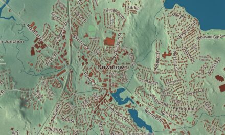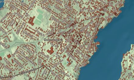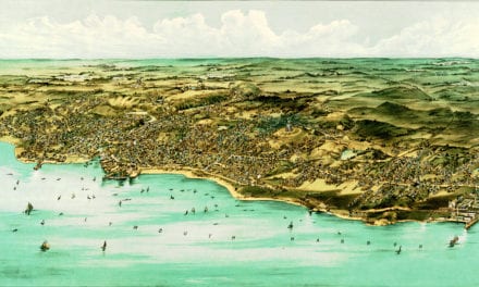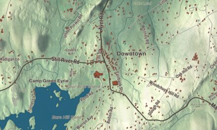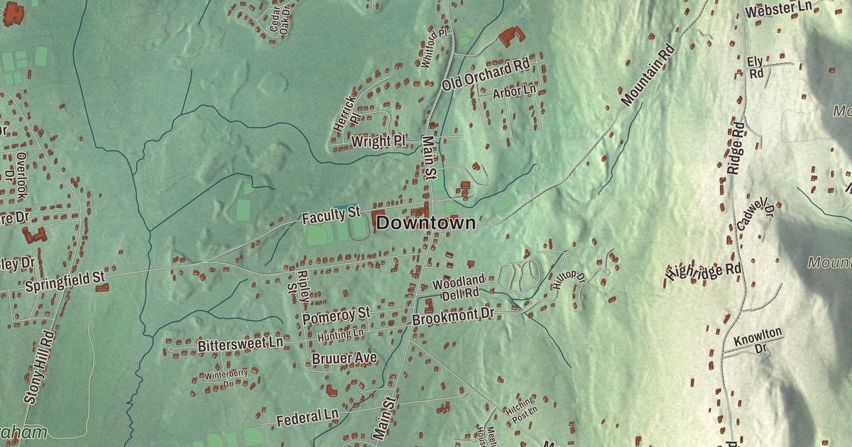
This aerial map of Wilbraham, Massachusetts was created in 2026 using real geographic data to bring the town’s streets, buildings, neighborhoods, ponds and waterways, mountains and ridgelines, and terrain together in one highly detailed view. Look closer and you can pick out the familiar places that make Wilbraham feel like home. Start with the street you know, then see how it connects to the rest of the Wilbraham you call home. Click here to purchase a print of this map for your wall.
Explore an aerial view of Wilbraham, Massachusetts
Start with Downtown and Red Bridge. Follow Boston Post Road, Boston Road, Red Bridge Road, Main Street, Stony Hill Road, and Glendale Road across town. Then look outward toward East Wilbraham, Butlerville, Mileoak Corner, and North Wilbraham.
Bennett Pond, Ninemile Pond, Haviland Pond, Minechoag Mountain, and Chicopee River Reservoir are all labeled on the map. Every one of those names is printed directly on the artwork, giving you plenty to explore.
The Town of Wilbraham’s recorded history dates European settlement to 1730. Wilbraham was incorporated as a town in 1763. The town remains part of Hampden County today. Click the image below to see the area as it looked in 2026.
Take a closer look at the Wilbraham map
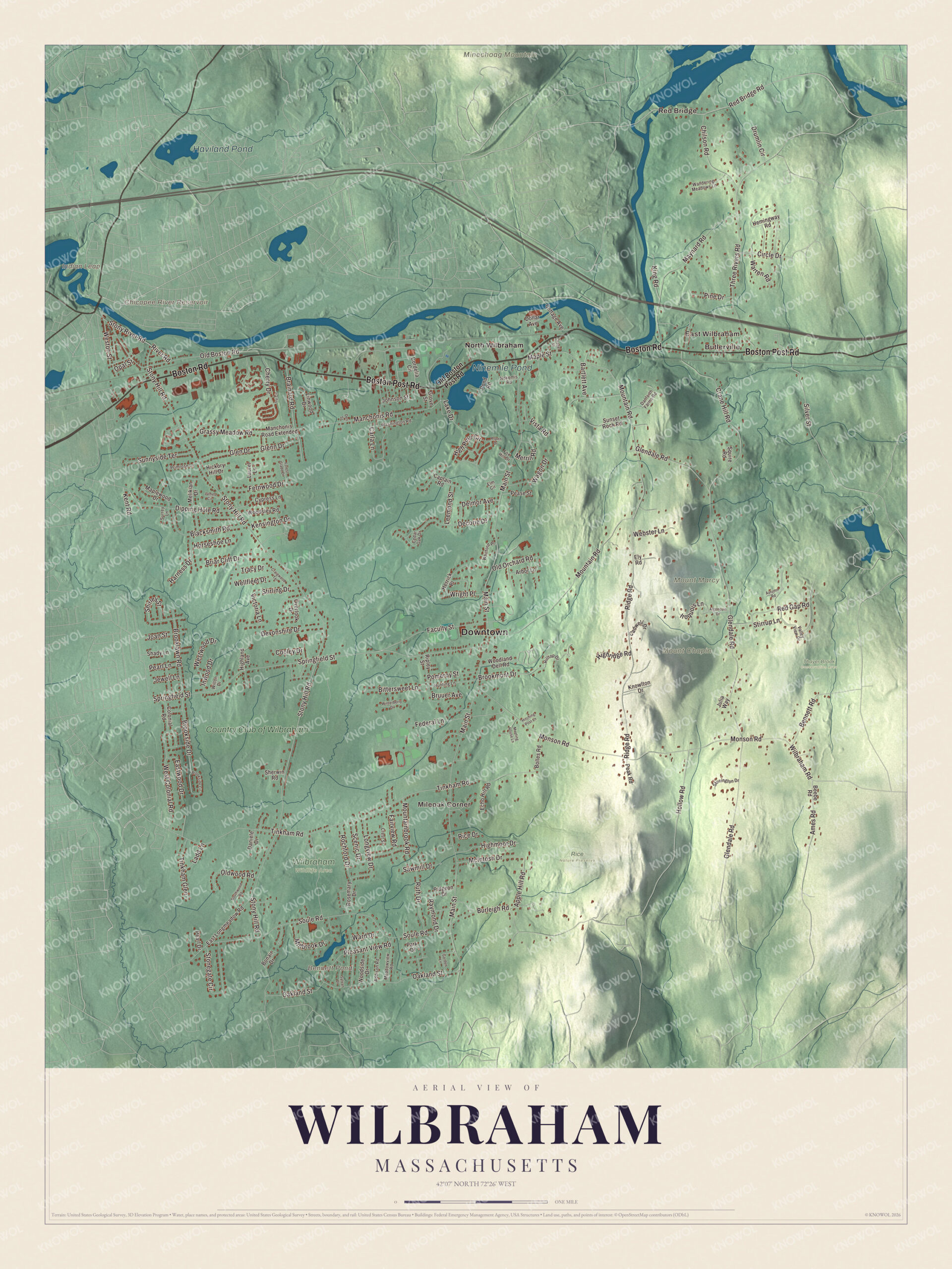
Click to explore a larger preview. The digital watermark does not appear on printed maps.
Names on this map
These names are printed on this map.
Places: Downtown, Red Bridge, East Wilbraham, Butlerville, Mileoak Corner, Indian Leap, Minechoag Mountain, Mount Chapin, Mount Marcy, Bennett Pond, Chicopee River Reservoir, Ninemile Pond, Haviland Pond, Rice Nature Preserve, Thayer Brook Conservation Area, Wilbraham Wildlife Area, North Wilbraham and Country Club of Wilbraham.
Streets and roads: Boston Post Road, Boston Road, Red Bridge Road, Main Street, Stony Hill Road, Glendale Road, Monson Road, Mountain Road, Tinkham Road, Springfield Street, Soule Road, Ridge Road.
More street names, A to Z
Addison Road, Algonquin Drive, Ames Road, Apple Hill Road, Arbor Lane, Aspen Drive, Autumn Road, Bartlett Avenue, Beebe Road, Bennett Road, Bittersweet Lane, Blacksmith Road, Bolles Road, Bonair Drive, Brainard Road, Briar Cliff Drive, Brooklawn Road, Brookmont Drive, Brookside Circle, Brookside Drive, Bruuer Avenue, Burleigh Road, Cadwell Drive, Captain Road, Carla Lane, Cedar Oak Drive, Chapel Street, Cherry Drive, Chilson Road, Circle Drive, Colonial Road, Cooley Drive, Cordelia Circle, Cottage Avenue, Craigwood Terrace, Crane Hill Road, Crest Street, Cypress Lane, Danforth Farms Road, Daniele Drive, Decorie Drive, Dell Street, Delmor Avenue, Devonshire Drive, Dipping Hole Road, Dollar Avenue, Drumlin Circle, East Longmeadow Road, Eastwood Drive, Echo Hill Road, Elm Circle, Ely Road, Faculty Street, Fairview Road, Federal Lane, Fernwood Drive, Forest Glade Drive, Fox Hill Drive, Garden Lane, Glen Drive, Glenn Drive, Grassy Meadow Road, Grove Street, Harness Drive, Hemingway Road, Herrick Place, Hickory Hill Drive, Highland Avenue, Highmoor Drive, High Pine Circle, Highridge Road, Hilltop Drive, Hitching Post Lane, Hollow Road, Horseshoe Lane, Hunting Lane, Inwood Drive, Iroquois Lane, Ivy Circle, James Circle, Jewell Lane, Joan Street, Johnson Street, Julia Way, Kensington Drive, Kent Road, King Road, Knowlton Drive, Ladd Lane, Lake Drive, Laurel Lane, Leemond Street, Linwood Drive, Longview Drive, Manchonis Road, Manchonis Road Extended, Maple Street, Maplewood Drive, Maynard Road, McIntosh Drive, Meadowview Road, Meeting House Lane, Melikian Drive, Merrill Road, Millbrook Drive, Mountainbrook Road, Nokomis Road, Oakland Street, Old Boston Post Road, Old Boston Road, Old Orchard Road, Oldwood Road, Opal Street, Overlook Drive, Park Drive, Peak Road, Pearl Drive, Pearl Lane, Pease Street, Pidgeon Drive, Pine Drive, Pleasant View Road, Pomeroy Street, Pond Road, Primrose Lane, Raymond Drive, Red Gap Road, Rice Drive, Ripley Street, River Road, Rochford Drive, Rosemary Drive, Ruth Drive, Sawmill Drive, Scenic Drive, Shady Lane, Sherwin Road, Shirley Street, Silver Street, Southwood Road, Squire Road, Stirling Drive, Stirrup Lane, Stonegate Circle, Stonington Drive, Stony River Road, Sunnyside Terrace, Sunset Rock Road, Surrey Lane, Sylvan Drive, Three Rivers Road, Tinkham Glen, Tracy Drive, Valley View Drive, Victoria Lane, Vista Road, Wagon Drive, Wandering Meadows Lane, Ward Drive, Warren Road, Washington Road, Webster Lane, Wellfleet Drive, West Colonial Road, Weston Street, Westwood Drive, Whitford Place, Wilbraham Road, Wilton Drive, Winterberry Drive, Woodland Dell Road, Woodside Drive, Woodsley Road, Wright Place.
See it on a wall
The Wilbraham map as a framed print. Swipe for more.


We designed the artwork at KNOWOL using Wilbraham’s real streets, buildings, neighborhoods, ponds and waterways, mountains and ridgelines, and terrain, the town boundary, and the way buildings spread across the town. Then we chose the color, relief, lettering, and layout that make the map look great on the wall.
This beautifully detailed map of Wilbraham makes an attractive addition to your office, library, or den and can even be used to teach children the geography and history of the area. When you’re done exploring, click here to get your copy of the Wilbraham, Massachusetts map.