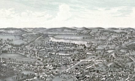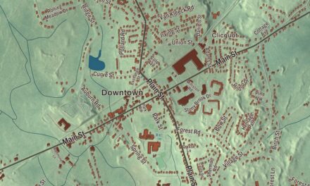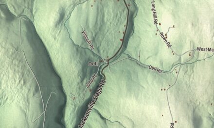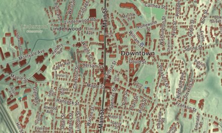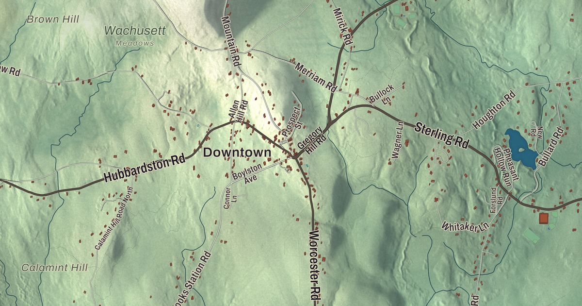
Mount Wachusett is the highest point in Massachusetts east of the Connecticut River, and its entrance lies in Princeton. This map of the town prints Main Street, Hubbardston Road, Fitchburg Road, Worcester Road, Sterling Road and East Princeton Road, with the Wachusett Mountain State Reservation, Brown Hill and the Quinapoxet Reservoir. Click here to purchase a print of this map for your wall.
Princeton is in Worcester County.
KNOWOL made this map in 2026 from public survey data and gave it the look of an old atlas. United States Geological Survey elevation data raises the mountain and the hills around it, and the Census Bureau supplied the roads and the town line. Princeton covers 35.8 square miles, nearly all of it land, and had 3,495 people at the 2020 census. Sterling and Leominster lie to the east, Westminster to the north, Hubbardston to the northwest, Rutland to the southwest and Holden to the southeast. It’s a rural town today, and many residents commute to Worcester, Gardner and Boston.
Prince’s land
The Town of Princeton’s recorded history, in the Secretary of the Commonwealth’s list, dates European settlement to 1743. The land had been part of Rutland, and the town takes its name from the Rev. Thomas Prince, the pastor of Boston’s Old South Church, a historian who wrote A Chronological History of New England, in the Form of Annals. The town page dates Princeton’s incorporation to 1759. The state’s list says Princeton was incorporated as a town in 1771. It added a piece of Hubbardston in 1810 and a piece of Westminster in 1870.
Prince’s daughter Sarah married the Boston merchant Moses Gill, and the couple inherited Prince’s land in what became Princeton, one of the largest tracts in the town. Gill was among the town’s leading men, gave the land for its first center, about half a mile from today’s, and served as acting governor of Massachusetts from 1799 until his death in 1800; the town of Gill is named for him. His second wife’s nephew, Ward Nicholas Boylston, inherited the estate, lived in Princeton from 1804 until his death and was a major contributor to the present town center. The portrait artist and engraver Edward Savage was born in Princeton in 1761 and died here in 1817. He’s known above all for The Washington Family, a large group portrait of George and Martha Washington that Andrew Mellon later gave to the National Gallery of Art.
The mountain
The Nipmuc lived around Wachusett before colonists came, and the mountain’s name comes from a Native term meaning “near the mountain” or “mountain place.” It sits on the line between Princeton and Westminster.A band of old-growth forest along the ledges about 500 feet below the summit holds trees 150 to 370 years old, and at 220 acres it’s the largest known old-growth stand east of the Connecticut River in Massachusetts. The Civilian Conservation Corps cut the first ski trails in 1934 and 1937, and soldiers of the 10th Mountain Division trained here in World War II; a plaque on the summit remembers them. Nearby, off Route 140, is Redemption Rock, where in 1676, during King Philip’s War, the release of the captive Mary Rowlandson was agreed on top of a granite ledge. A state marker there calls her account one of the classics of colonial literature.
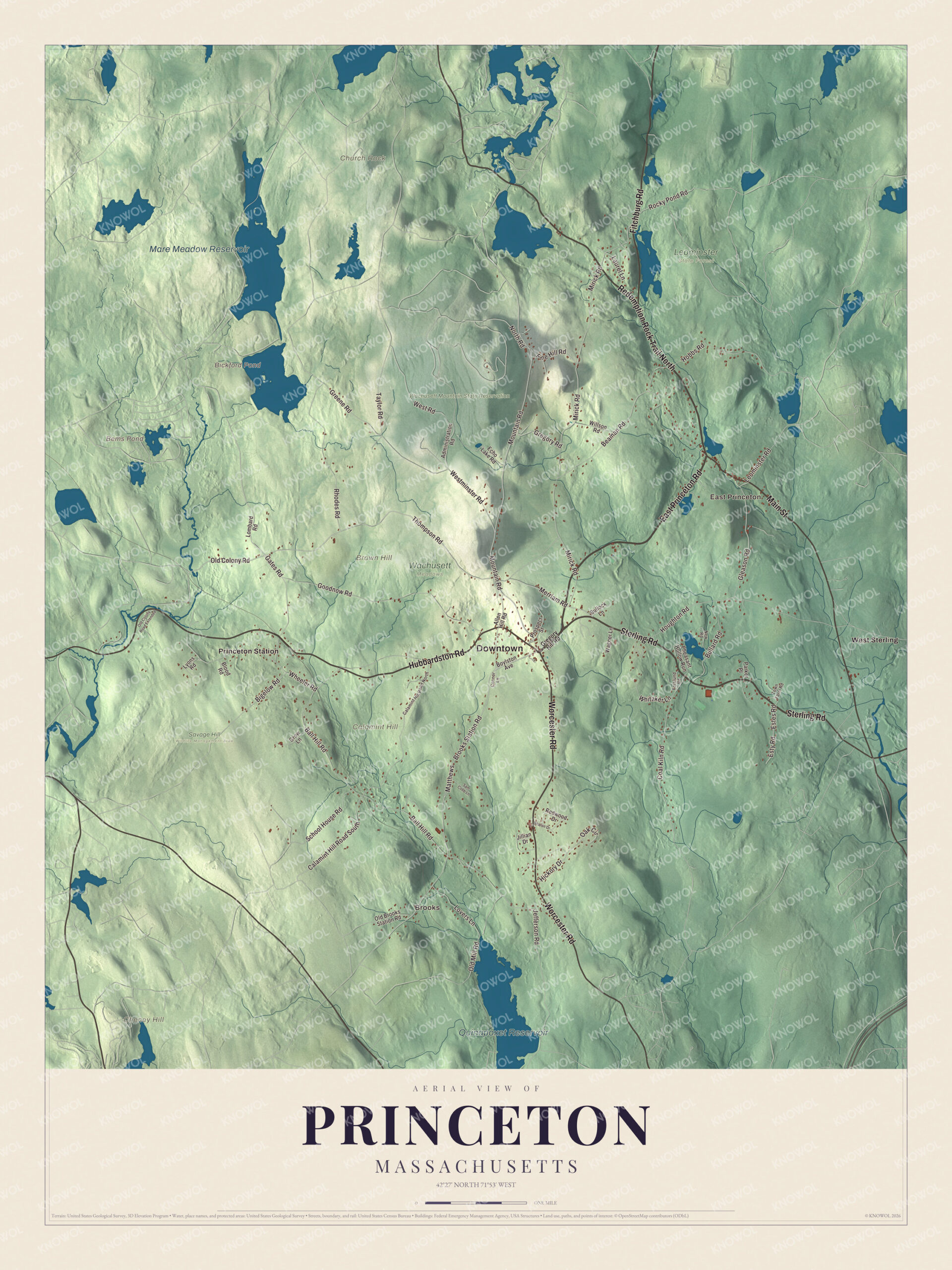
Click to explore a larger preview. The digital watermark does not appear on printed maps.
Names on this map
These names are printed on this map.
Places: Downtown, Brooks, East Princeton, Brown Hill, Calamint Hill, Cheney Hill, Church Rock, Bems Pond, Bickford Pond, Quinapoxet Reservoir, Mare Meadow Reservoir, Leominster State Forest, Savage Hill Wildlife Management Area, Wachusett Meadows, Wachusett Mountain State Reservation, Princeton Station and West Sterling.
Streets and roads: East Princeton Road, Sterling Road, Redemption Rock Trail North, Worcester Road, Main Street, Hubbardston Road, Fitchburg Road, Old Colony Road, Mountain Road, Brooks Station Road, Thompson Road, Merriam Road.
More street names, A to Z
Administration Road, Allen Hill Road, Ball Hill Road, Beaman Road, Bigelow Road, Blood Road, Boylston Avenue, Bullard Road, Bullock Lane, Calamint Hill Road North, Calamint Hill Road South, Coal Kiln Road, Connor Lane, Echo Lake Road, Estes Road, Esty Road, Forslund Road, Gates Road, Gleason Road, Goodnow Road, Greene Road, Gregory Hill Road, Gregory Road, Grow Lane, Hickory Drive, Hobbs Road, Houghton Road, Jefferson Road, Jillian Drive, Laurel Lane, Leominster Road, Lombard Road, Lovers Lane, Lyons Road, Matthews, Mirick Road, New Road, North Road, Oak Circle, Old Brooks Station Road, Old Colony Road Extended, Old Mill Road, Parker Place, Pheasant Hollow Run, Pine Hill Road, Prospect Street, Redwood Drive, Rhodes Road, Rocky Pond Road, Sam Cobb Lane, School House Road, Sharon Drive, Taylor Road, Town Farm Road, Wagner Lane, Westminster Road, West Road, Wheeler Road, Whitaker Lane, Willson Road.
See it on a wall
The Princeton map as a framed print. Swipe for more.


Around the map
Start with Brooks. Follow East Princeton Road, Sterling Road, Worcester Road, Main Street, Hubbardston Road and Fitchburg Road across town. The 19th-century town center, with its common, town hall, library and First Congregational Church, stands where Hubbardston Road meets Mountain Road, and it’s listed on the National Register as the Princeton Center Historic District. Main Street runs through East Princeton, a 19th-century mill village that grew up along Keyes Brook, where the Stuart Chair Factory opened in 1841. Then look outward toward East Princeton, Princeton Station and West Sterling.
Bems Pond, Bickford Pond, the Quinapoxet Reservoir, the Mare Meadow Reservoir, the Wachusett Mountain State Reservation, Brown Hill, Calamint Hill and Cheney Hill are all printed on the map. The reservation covers 3,000 acres around the summit, with 17 miles of trails and a seasonal road to the top, where the views take in Mount Monadnock, Mount Greylock and Boston. Brown Hill and Little Wachusett Mountain border the main peak on the south. The uppermost streams of the Quinapoxet River begin in Princeton, and downstream a dam in Holden holds back the Quinapoxet Reservoir, part of Worcester’s water supply. Mass Audubon’s Wachusett Meadow Wildlife Sanctuary, a former farm of 1,135 acres, is regarded as one of the best hawk-watching spots in New England.
The Princeton map makes a fine addition to an office, library or den, and it can help teach children the geography and history of a town on the slopes of Wachusett. It’s made for people who call Princeton home, from East Princeton to the mountain, and it shows the town as it looks today. Zoom in on the preview above to explore the details, then click here to get your copy of the Princeton, Massachusetts map.

Sources
- Princeton, Massachusetts, Wikipedia
- Thomas Prince (historian), Wikipedia
- Moses Gill, Wikipedia
- Edward Savage (artist), Wikipedia
- Mount Wachusett, Wikipedia
- Wachusett Mountain (ski area), Wikipedia
- Redemption Rock, Wikipedia
- Princeton Center Historic District, Wikipedia
- East Princeton Village Historic District, Wikipedia
- Wachusett Mountain State Reservation, Wikipedia
- Quinapoxet River, Wikipedia
- Wachusett Meadow Wildlife Sanctuary, Wikipedia
- City and Town Incorporation and Settlement Dates, Secretary of the Commonwealth of Massachusetts (archived copy)