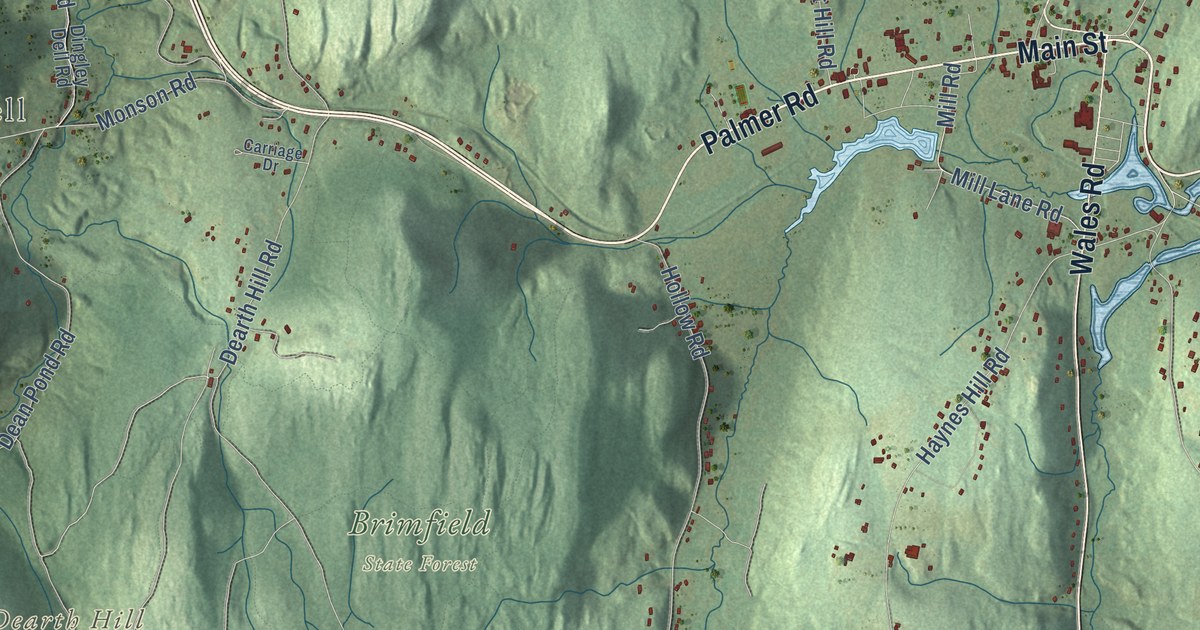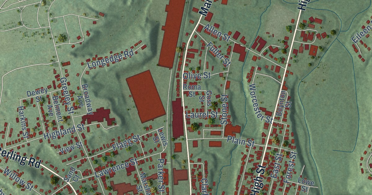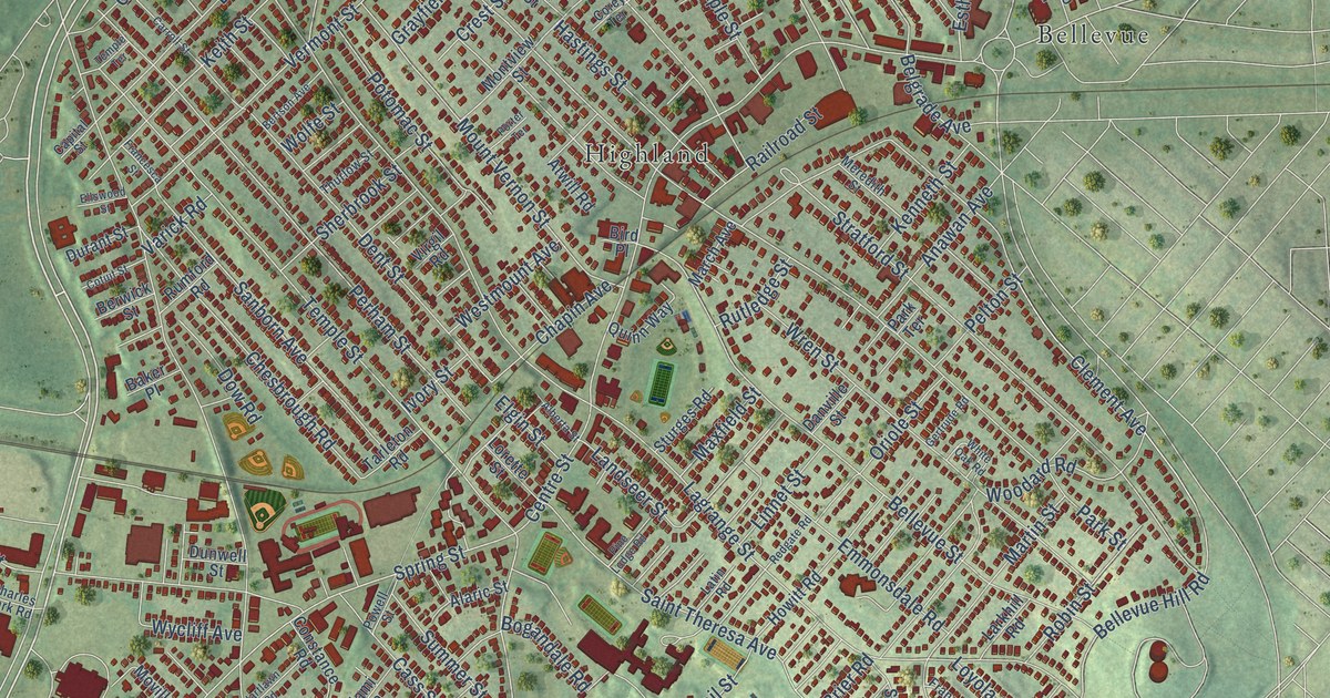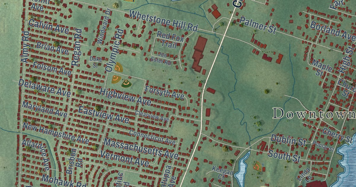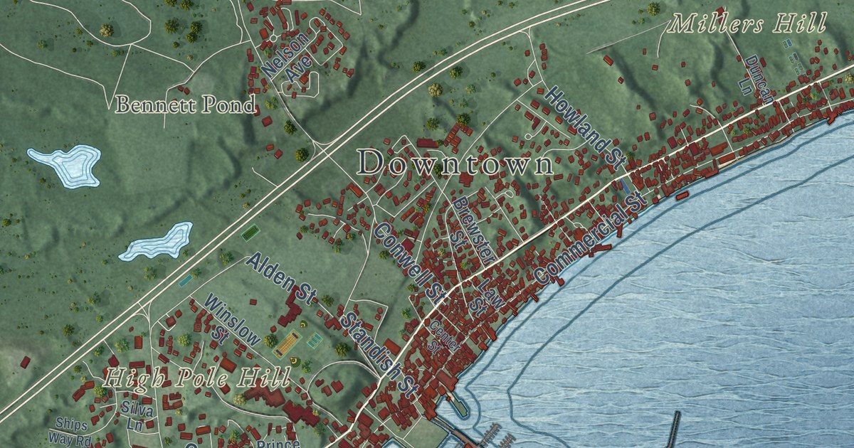
This beautifully detailed map of Provincetown, Massachusetts was created in 2026 using aerial imagery combined with modern topographical, census, street and landmark data. It’s a one-of-a-kind view of Provincetown that combines accurate data with a vintage aesthetic. The map shows every building in its true location, many of the roads carry their names, and the shaded topographic relief shows the shape of the land.
Explore an aerial view of Provincetown, Massachusetts
On the map you’ll find Downtown, Wood End, High Pole Hill, Millers Hill, Mount Ararat, Mount Gilboa, Bennett Pond, Blackwater Pond, Clapps Pond, Shank Painter Pond, Great Pond, Pasture Pond, and more. If you look closely you can even find your house accurately drawn in its correct location. Zoom in on the preview to look for yours.
Did you know this piece of Provincetown, Massachusetts history?
On November 9, 1620, the Pilgrims on the Mayflower first saw Cape Cod. Rough winter seas turned them back, so they anchored in what is now Provincetown Harbor. There they drew up and signed the Mayflower Compact before they came ashore in the West End.
Take a closer look at the Provincetown map
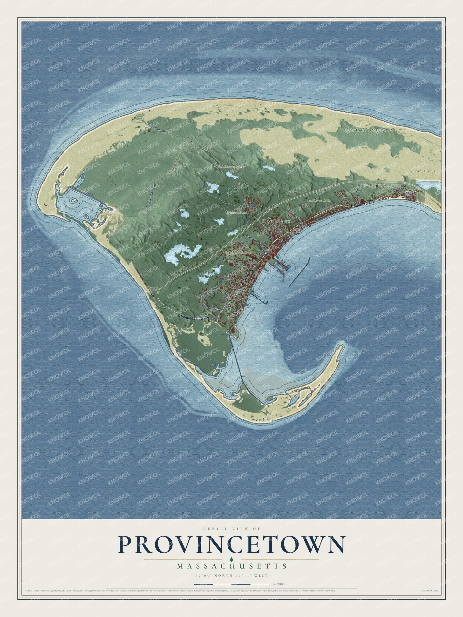
Click to explore a larger preview. The digital watermark does not appear on printed maps.
Street and place names on the Provincetown, Massachusetts map
These names are printed on the map of Provincetown, Massachusetts.
Places: Downtown, Wood End, High Pole Hill, Millers Hill, Mount Ararat, Mount Gilboa, Bennett Pond, Blackwater Pond and Cape Cod National Seashore.
Streets and roads: Province Lands Road, Bradford Street, Commercial Street, Franklin Street, Alden Street, Conwell Street, Race Point Road, Bayberry Avenue, Howland Street, Pilgrim Heights Road, Court Street, Snail Road.
More street names, A to Z
Blueberry Avenue, Brewster Street, Brown Street, Center Street, Creek Hill Road, Duncan Lane, Garfield Street, Law Street, Mayflower Avenue, Nelson Avenue, Nickerson Street, Oppen Lane, Point Street, Prince Street, Race Road, Ships Way Road, Silva Lane, Standish Street, Thistlemore Road, Winslow Street.
See the Provincetown, Massachusetts map on a wall
The Provincetown map as an 18 x 24 inch print in a black frame.

This beautifully detailed map of Provincetown makes an attractive addition to your office, library, or den, and it can even be used to teach children the geography and history of the area. It also makes a great gift for anyone who grew up in Provincetown or moved away. When you’re done exploring, click here to get your copy of the Provincetown map.