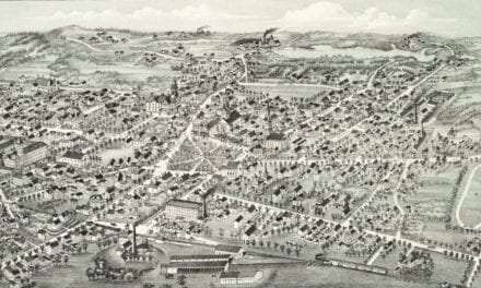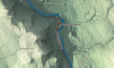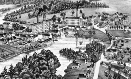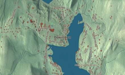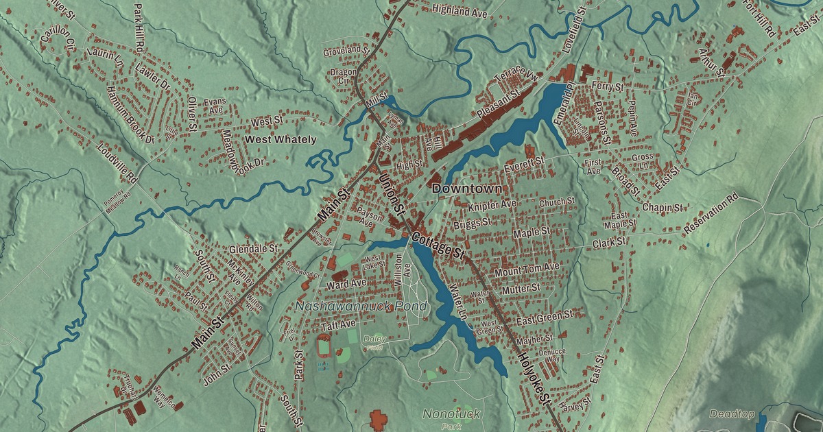
Easthampton is the old button-and-thread mill town at the foot of Mount Tom, where the mill buildings along Cottage Street now hold studios and Nashawannuck Pond lies just southeast of the center. This map prints Main Street, Northampton Street, Holyoke Street, Cottage Street, Mountain Road and Mount Tom Road, with Nashawannuck Pond, the Whiting Street Reservoir, Danks Pond, Hulberts Pond, Clear Falls Pond and Cedar Knob. Click here to purchase a print of this map for your wall.
Easthampton is a city in Hampshire County, in the Pioneer Valley between Northampton and Holyoke.
KNOWOL made this map in 2026 from public survey data and gave it the look of an old atlas. The relief comes from United States Geological Survey elevation data, and the roads and the city line come from the Census Bureau. Easthampton covers 13.6 square miles, with Southampton and Westhampton to the west, Holyoke to the east and south, Northampton to the north and Hadley across the Connecticut River to the northeast. The city had 16,211 people at the 2020 census.
Pascommuck
The City of Easthampton’s recorded history, in the Secretary of the Commonwealth’s list, dates European settlement to 1664, when the village of Pascommuck began as part of Northampton. By 1785 Massachusetts had made Easthampton a “district,” a kind of community with less independence than a town, and Easthampton was incorporated as a town in 1809. Its page calls it the youngest municipality in Hampshire County by date of incorporation, though two of the Quabbin towns, since dissolved, were incorporated later. The town changed its charter in 1996, and today Easthampton is a city in Hampshire County, one of the six that hold city status without wards.
Buttons on the Manhan
The town grew up around the Manhan River, first as farm country and then as a mill town. The first big mill, the Williston-Knight Button Company, was started in 1847 by Samuel Williston, son of the town’s first minister, Payson Williston, and it made cloth-covered buttons, much in demand at the time. To run its machinery a local brook was dammed, and that’s how Nashawannuck Pond came to be. More mills followed, many of them making elastic and rubber thread, and in 1899 two cloth makers, the West Boylston Manufacturing Company and the Hampton Company, moved in and drew workers from Poland and Canada. Williston had already founded Williston Seminary in 1841; today it’s the Williston Northampton School, a private prep school in the city. When many mills were cutting back before the Great Depression, one success was the American Character Doll Company, whose cofounder, Edward Schaeffer, was credited with inventing the first rubber doll mass-marketed in the United States.
The town’s first high school and first national bank opened in 1864, the town hall went up in 1869, the railroad started making regular stops in 1871, and the public library opened in 1881. Main Street, from Northampton Street to Center Street, is a historic district, with Italianate commercial blocks from the 1840s to the 1880s, the 1869 town hall by Charles E. Parker and the library by Peabody & Stearns. Since 1996 the downtown has drawn artists and young people, partly for its lower cost of living than nearby Northampton, and old factories like One Cottage Street and Eastworks, the former Stanley Home Products plant, now hold artists’ studios, workshops, offices and restaurant space. The state named the Cottage Street Cultural District in 2013.
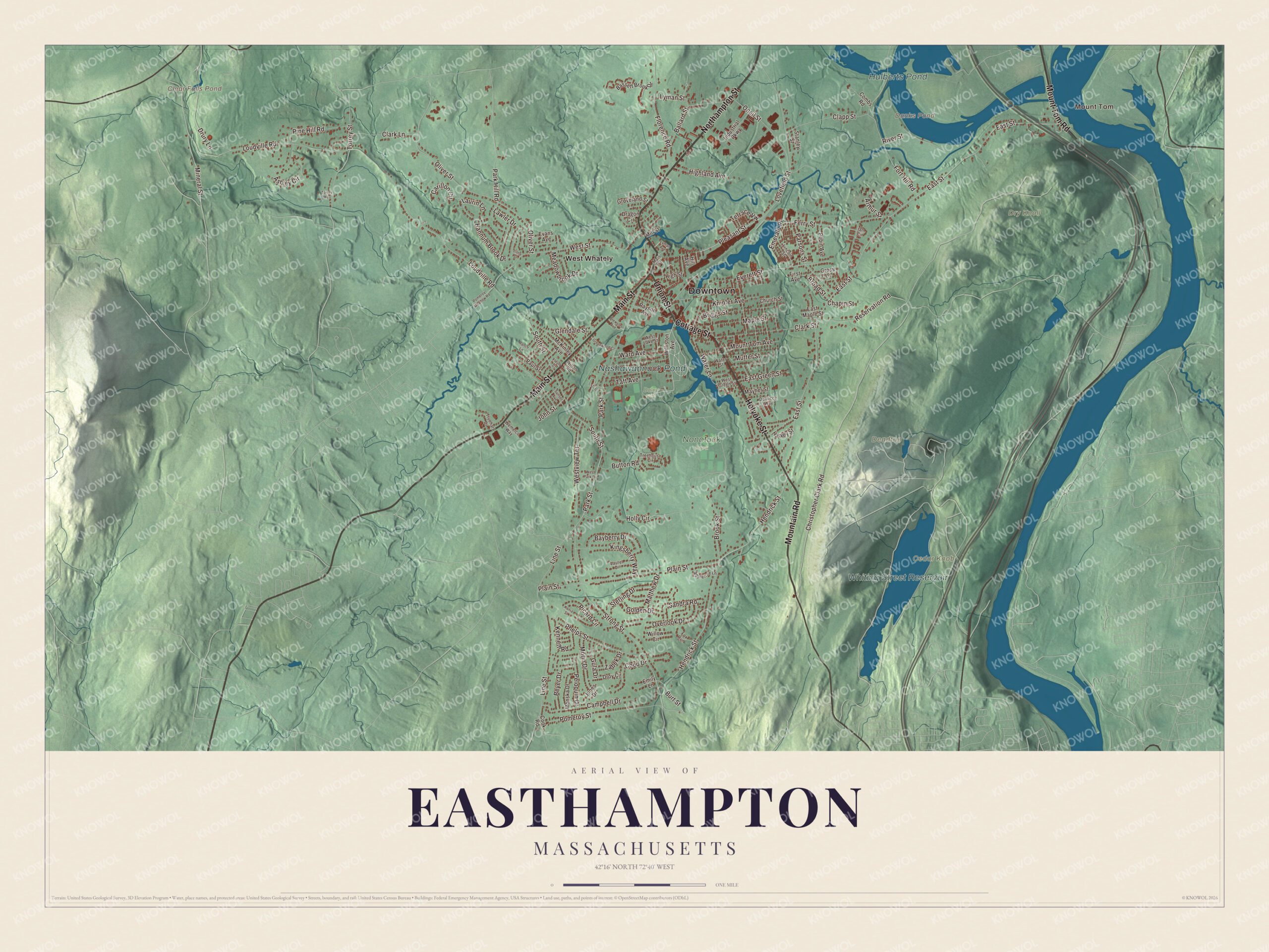
Click to explore a larger preview. The digital watermark does not appear on printed maps.
Names on this map
These names are printed on this map.
Places: Downtown, Mount Tom, Cedar Knob, Deadtop, Dry Knoll, Clear Falls Pond, Danks Pond, Hulberts Pond, Whiting Street Reservoir, Nashawannuck Pond, Daley Field, Nonotuck Park and West Whately.
Streets and roads: Northampton Street, Holyoke Street, Mountain Road, Cottage Street, Main Street, Mount Tom Road, Union Street, Christopher Clark Road, Pleasant Street, Emerald Place, Burt Street, Terrace Vw.
More street names, A to Z
Appletree Lane, Arthur Street, Ashley Circle, Ballard Street, Bassett Brook Drive, Bayberry Drive, Beyer Drive, Brewster Avenue, Briggs Street, Broad Street, Brook Street, Button Road, Campbell Drive, Carillon Circle, Chapin Street, Church Street, Clapp Street, Clark Lane, Clark Street, Coed Drive, Combs Road, Cook Road, Denucce Way, Dragon Circle, Droy Circle, Drury Lane, East Green Street, East Maple Street, East Street, Emily Lane, Evans Avenue, Everett Street, Ferry Street, First Avenue, Fleury Court, Florence Road, Fort Hill Road, Fox Run, Friel Drive, Glendale Street, Golden Drive, Greenwood Court, Gross Lane, Groveland Street, Gula Drive, Hannum Brook Drive, Harvey Street, Hendrick Street, Highland Avenue, High Street, Hill Avenue, Holly Circle, Ian Circle, Industrial Parkway, John Street, Jones Drive, Kania Street, Kenneth Road, Kingsberry Way, Knipfer Avenue, Laurel Drive, Laurin Lane, Lawler Drive, Lincoln Street, Line Street, Little Street, Loudville Road, Lovefield Street, Lyman Avenue, Lyman Street, Maple Street, Matthew Drive, Mayher Street, McKinley Avenue, Meadowbrook Drive, Mill Street, Mineral Street, Monska Drive, Morin Drive, Mount Tom Avenue, Mutter Street, Oliver Street, Oneil Street, Overlook Drive, Park Hill Road, Park Street, Parsons Street, Paul Street, Payson Avenue, Peloquin Drive, Pepin Avenue, Phelps Street, Picard Circle, Pine Hill Road, Plain Street, Pomeroy Meadow Road, Pomeroy Street, Ranch Lane, Reservation Road, River Street, Sandra Road, South Street, Stanley Street, Sterling Drive, Strong Street, Sunset Avenue, Taft Avenue, Torrey Street, Torrey Way, Treehouse Circle, Truehart Drive, Ward Avenue, Water Lane, Water Street, Wemelco Way, West Green Street, West Lake Street, West Park Drive, West Street, Westview Terrace, Williston Avenue, Willow Circle, Wilton Road, Zabek Drive.
See it on a wall
The Easthampton map as a framed print. Swipe for more.


Mount Tom and the river
The western slopes of Mount Tom and Mount Nonotuck form the city’s eastern edge, and the Mount Tom State Reservation reaches into Easthampton, where many residents hike up to the rock ledges for the view over the Pioneer Valley. At 1,202 feet, Mount Tom is the highest traprock peak on the Metacomet Ridge, and the 110-mile Metacomet-Monadnock Trail crosses it. The Manhan River flows through the middle of the city to The Oxbow, an old channel of the Connecticut River. The Manhan Rail Trail follows the river, and Mass Audubon’s Arcadia Wildlife Sanctuary is split between Easthampton and Northampton.
Around the map
Start with Mount Tom, then follow Northampton Street, Holyoke Street, Mountain Road, Cottage Street, Main Street and Mount Tom Road across the city, and look outward toward West Whately, which lies in the separate town of Whately. Route 10 runs through the center as Main Street and Northampton Street, and Route 141 runs out to Holyoke as Union, Cottage and Holyoke streets. Each February the Friends of the Nashawannuck Pond hold WinterFest to raise money for the pond. Danks Pond, Hulberts Pond, the Whiting Street Reservoir, Nashawannuck Pond, Clear Falls Pond and Cedar Knob are all printed on the map.
The Easthampton map makes a fine addition to an office, library or den, and it can help teach children the geography and history of a mill town under Mount Tom. It’s made for people who call Easthampton home, from Cottage Street to Mount Tom, and it shows the city as it looks today. Zoom in on the preview above to explore the details, then click here to get your copy of the Easthampton, Massachusetts map.

Sources
- Easthampton, Massachusetts, Wikipedia
- Main Street Historic District (Easthampton, Massachusetts), Wikipedia
- Williston Northampton School, Wikipedia
- Manhan River, Wikipedia
- Mount Tom (Massachusetts), Wikipedia
- West Whately Historic District, Wikipedia
- City and Town Incorporation and Settlement Dates, Secretary of the Commonwealth of Massachusetts (archived copy)