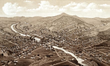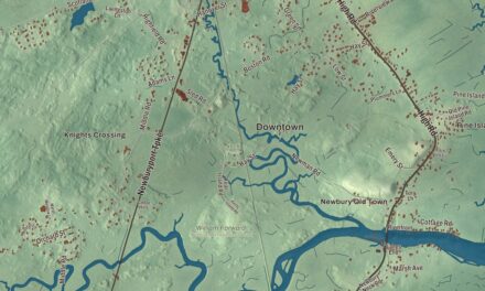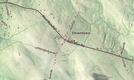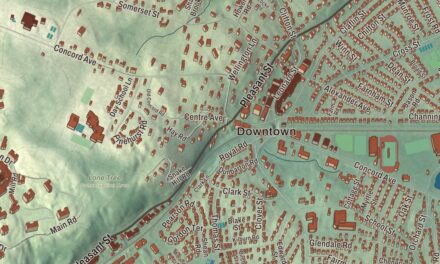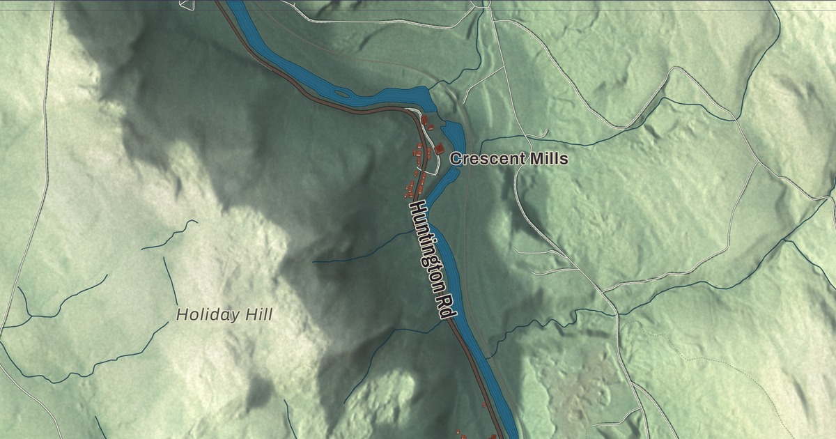
Russell’s three mill villages grew up at three cascades on the Westfield River, and this map follows Huntington Road down the valley from Crescent Mills toward Woronoco, with Blandford Road, General Knox Road and Pine Hill Road climbing to the uplands of South Quarter. Click here to purchase a print of this map for your wall.
Russell is in Hampden County.
KNOWOL made this map in 2026 from public survey data, finished with the look of an old atlas. United States Geological Survey elevation data shapes the hills and the river gorge, and the roads and the town line come from the Census Bureau. Russell covers 17.8 square miles, with Huntington to the north, Montgomery to the northeast, Westfield to the southeast, Granville to the south and Blandford to the west. U.S. Route 20 links the two river villages, and the Massachusetts Turnpike crosses the middle of town without an exit. The town had 1,643 people at the 2020 census.
Uplands and a valley
The Town of Russell’s recorded history, in the Secretary of the Commonwealth’s list, dates European settlement to 1782, and Russell was incorporated as a town in 1792. The land was once part of the territory of the Pocumtuc, also called the Deerfield, who spoke an Algonquian language. The town has two very different halves. South Quarter is upland, from 1,000 to 1,400 feet above sea level along the rim of a plateau, and the rest of Russell is a deep valley cut by the swift Westfield River. Cold air pockets and late frosts settled in the river valleys, so most early farms were up in and near South Quarter. The soil there was thin and the fields small, and farming mostly fed the family, with little left to sell. The upland farm population peaked around 1800, and many farms were later abandoned and went back to forest, until only stone walls and cellar holes were left.
In the valley, glaciers scraped the soil away and steepened the cliffs of Mount Tekoa and Mount Shatterack, east of the river, and of Turtle Bend Mountain in the middle of the valley. None of them rises much above the plateau, but their steep slopes make them look high from below. When the ice melted back, a long glacial lake reached up the Westfield River, and where the river entered it, it left gravel banks large enough to be mined. The river drops about 90 feet in all over three cascades in Russell.
Three mill villages
As water power drove New England’s first factories, mills went up at all three cascades, and a village grew around each one. The easy grades of the valley also carried a railroad across the Berkshires, which rise 1,400 feet here. Crescent Mills, the small upstream village near the Huntington line, began with a Chapin and Gould Paper Company mill, and a hydroelectric project now runs at Crescent Dam. Russell Village, in the middle, is the town’s administrative center. The Westfield River Paper Company made glassine and other specialty papers there until 1994. As late as the 1950s the village almost took care of itself, with several stores, a barbershop and several restaurants, until more people had cars and shopped in Westfield and the other valley cities.
The lower village was named Woronoco after a local tribe, and its cascades were once called Salmon Falls, presumably for the Atlantic salmon caught there. Horace A. Moses bought the paper mill at Woronoco in 1904, and his Strathmore Paper Company made fine bond paper there until 1999. Moses, later a co-founder of Junior Achievement, built Woronoco as a model company town, with unusually good housing and buildings for all kinds of community activities, after a trip to the factory town of Strathmore in Scotland. Strathmore built the two dams at Salmon Falls in 1938 and 1950, and a hydro station still makes power there.
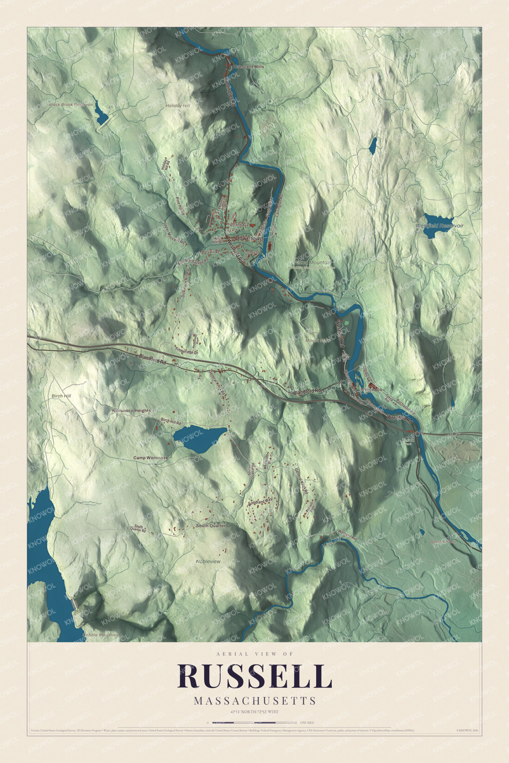
Click to explore a larger preview. The digital watermark does not appear on printed maps.
Names on this map
These names are printed on this map.
Places: Downtown, Crescent Mills, South Quarter, Camp Woronoak, Woronoco Heights, Birch Hill, Cobble Mountain, Holiday Hill, Mount Nero, Barnes Pond, Black Brook Reservoir, Westfield Reservoir, Nobleview, Tekoa Park, Tekoa Mountain Wildlife Management Area and Woronoco.
Streets and roads: Huntington Road, Woronco Road, Westfield Road, Blandford Road, Woronoco Road, Pine Hill Road, Valley Vw, General Knox Road, Blandford Stage Road, Dickinson Hill Road, Woodland Way, Pochassic Road.
More street names, A to Z
Birch Hill Road, Carrington Road, Cedar Terrace, Cobble Mountain Road, Frog Hollow, Grove Street, Highland Avenue, Holiday Hill Road, Homestead Avenue, Laurel Road, Montgomery Road, Moss Hill Road, Old Route 20, Patriots Path, Raymur Drive, River Street, South Quarter Road, Tekoa Avenue, Timberidge Drive, Upper Moss Hill Road, Western Avenue, West Main Street, Westwood Drive.
See it on a wall
The Russell map as a framed print. Swipe for more.


Around the map
Start with Crescent Mills. Follow Huntington Road, Westfield Road, Blandford Road, Pine Hill Road and General Knox Road across town. Then look outward toward South Quarter, Woronoco Heights and Woronoco. Barnes Pond, Black Brook Reservoir, Westfield Reservoir, Birch Hill, Cobble Mountain, Pine Hill and Holiday Hill are all printed on the map. Up in South Quarter, Moses put together a 1,600-acre estate around Russell Pond, where he raised prize apples and hunting dogs, and late in life he sold parts of it to the Boy Scouts. It’s now the Horace A. Moses Scout Reservation, and his summer home there is known simply as the Manor House. The land is thought to be one of the last homes of a rare Scottish thistle that Moses brought over in the 1930s. In the 1990s Mennonite families came to Russell from western Pennsylvania and started a church, a furniture shop and a bakery, and since 2003 the Mennonite Youth Chorus from Russell has sung each September 11 at the Ground Zero site in New York City, in remembrance of the victims.
The Russell map makes a fine addition to an office, library or den, and it can help teach children the geography and history of a river valley that once ran on paper mills. It’s made for people who call Russell home, from Crescent Mills to Woronoco, and it shows the town as it looks today. Zoom in on the preview above to explore the details, then click here to get your copy of the Russell, Massachusetts map.

Sources