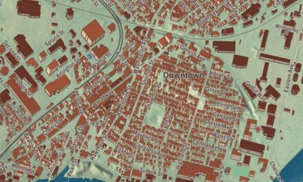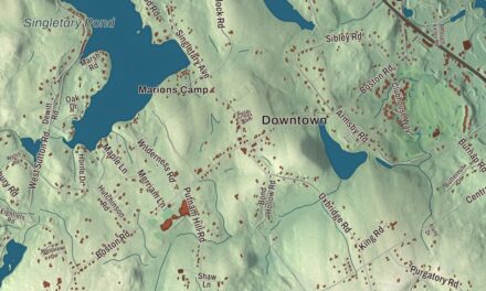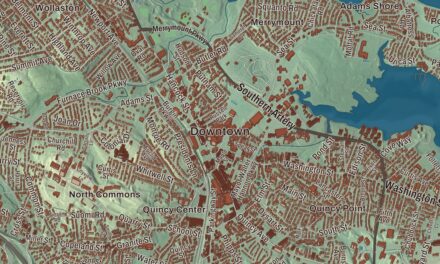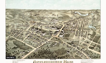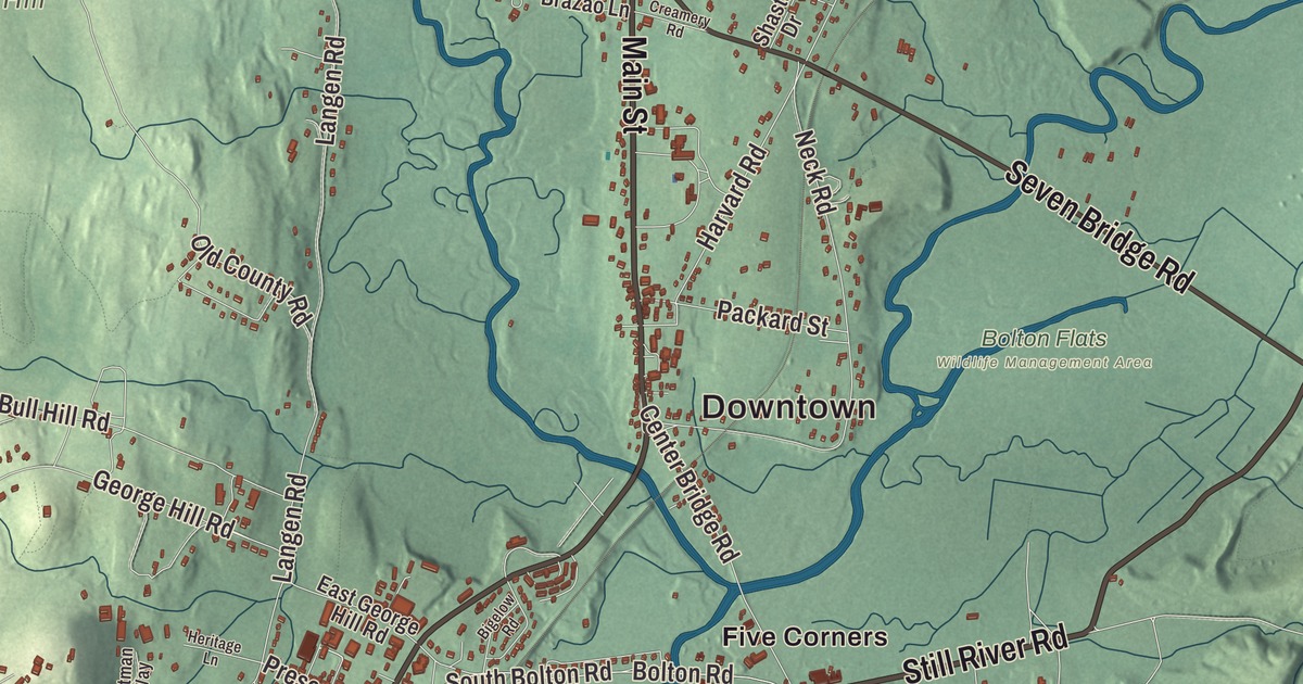
Lancaster grew up along the Nashua River, and its old center sits on a ridge above a bend in the river. This map prints Main Street, Sterling Street, Lunenburg Road, Still River Road, Seven Bridge Road and Old Common Road, with Fort Pond, Spectacle Pond, Bartlett Pond, George Hill and Ballard Hill. Click here to purchase a print of this map for your wall.
Lancaster is in Worcester County.
KNOWOL made this map in 2026 from public survey data and gave it the look of an old atlas. The relief comes from United States Geological Survey elevation data, and the streets and the town line come from the Census Bureau. Lancaster covers 28.2 square miles, bordered by Lunenburg and Shirley to the north, Harvard to the northeast, Bolton to the southeast, Clinton to the south, Sterling to the southwest and Leominster to the northwest. Interstate 190 and Route 2 both have exits in town. Lancaster had 8,441 people at the 2020 census.
Nashaway and the mother town
The Town of Lancaster’s recorded history, in the Secretary of the Commonwealth’s list, dates European settlement to 1643. That year a group of colonists called the Nashaway Company, who may have been drawn by iron deposits, settled here and named the place Nashaway after the local Nashaway people. Lancaster was incorporated as a town in 1653, as “Lancaster on the Nashua,” and the town page calls it the oldest town in Worcester County. John Prescott’s supporters wanted the town named Prescott, but the General Court thought it presumptuous for a common freeman when not even a governor had named a town for himself, and it chose Lancaster instead, the name of Prescott’s English hometown. Prescott was the great-grandfather of William Prescott, a leader at Bunker Hill. The town remains part of Worcester County today.
Lancaster calls itself the “mothertown” of east central Massachusetts. Harvard, Bolton, Leominster, Clinton, Berlin, Sterling and part of West Boylston were all formed from land inside Lancaster’s first borders. The town also once had the largest oak tree in the state, the Beaman Oak, named for the settler Gamaliel Beaman, until it was cut down for safety in 1989.
The Bulfinch meetinghouse
The Center Village District runs about 0.8 miles along Main Street, which is Route 70 there, on a ridge above a bend in the Nashua River. Its centerpiece is the First Church of Christ, whose congregation was gathered in 1653. The present meetinghouse, built of local brick and slate in 1816, was designed by Charles Bulfinch and is a National Historic Landmark; the architectural historian G. E. Kidder Smith called it “one of the great federal style churches in the country.” Around the common stand the 1868 Thayer Memorial Library, the 1904 Center School and a 1908 town hall by Alexander Wadsworth Longfellow Jr.
Two noted scientists were born here. Luther Burbank grew up on a farm, and went on to develop the Burbank potato; a later form of it, the Russet Burbank, is the most widely grown potato in the United States. Henrietta Swan Leavitt, born in Lancaster, discovered the relation between the brightness and the period of Cepheid variable stars. In South Lancaster, the Adventist leader Stephen N. Haskell started a school in 1882 that became South Lancaster Academy and later Atlantic Union College; the college closed in 2018.
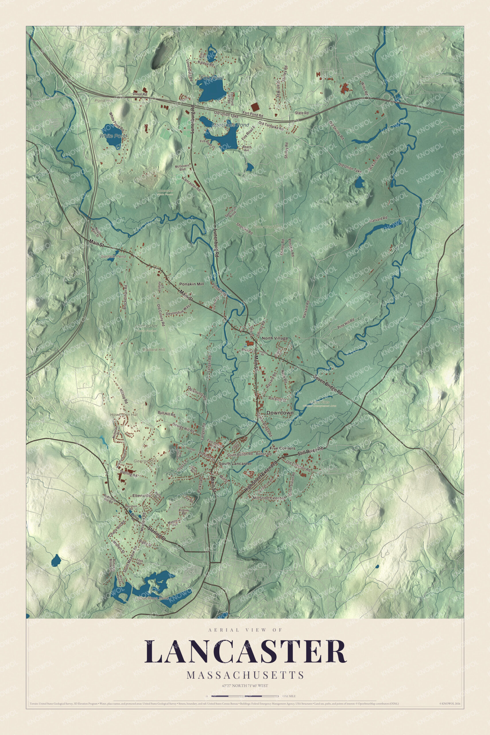
Click to explore a larger preview. The digital watermark does not appear on printed maps.
Names on this map
These names are printed on this map.
Places: Downtown, Ebenville, Ballard Hill, George Hill, Hawthorn Hill, Pond Hill, Bartlett Pond, Coachlace Pond, Fort Pond, Spectacle Pond, White Pond, Bolton Flats Wildlife Management Area, Lancaster Town Forest, Lancaster State Forest, Turner Drop Zone, Five Corners, North Village, Ponakin Mill and South Lancaster.
Streets and roads: High Street Extended, Sterling Street, Still River Road, Main Street, Lunenburg Road, Seven Bridge Road, Old Common Road, Shirley Road, Rigby Street, Pine Hill Road, Sterling Road, Hilltop Road.
More street names, A to Z
Beach Avenue, Beach Point Road, Bigelow Road, Bolton Road, Bolton Station Road, Brazao Lane, Brian Road, Brockelman Road, Bull Hill Road, Center Bridge Road, Chace Hill Road, Clinton Road, Colony Lane, Creamery Road, Deershorn Road, Devonshire Way, Duval Road, East George Hill Road, Fire Road 8, Fire Road 12, Fitch Road, Fort Pond Inn Road, Fort Pond Road, George Hill Road, Goss Lane, Grant Way, Harvard Road, Heritage Lane, Ivy Drive, Jackson Road, Kaleva Road, Kelly Drive, Lancaster Road, Langen Road, Magnolia Avenue, Mary Catherine Drive, McGovern Boulevard, Meadow Road, Mill Street, Mill Street Extended, Moffett Street, Neck Road, Nicholas Drive, North Main Street, Oetman Way, Old Colony Road, Old County Road, Old Shirley Road, Old Turnpike Road, Old Union Turnpike, Otis Street, Packard Street, Parker Road, Pilgrim Road, Ponakin Road, Prescott Street, Redstone Hill Road, Runaway Brook Road, Schumacher Road, Settler's Path, Shasta Drive, Shoefelt Road, South Bolton Road, South Meadow Road, Spectacle Brook, State Road, Sylvan Road, White Pond Road, Wiles Road, Woods Lane.
See it on a wall
The Lancaster map as a framed print. Swipe for more.


Around the map
Start with Ebenville, then follow Sterling Street, Still River Road, Main Street, Lunenburg Road, Seven Bridge Road and Old Common Road across town. Look outward toward Five Corners, North Village, Ponakin Mill and South Lancaster. The North Village Historic District, on the National Register since 1977, is a 19th-century village along Main Street, which is Route 117 there. John Bennett settled it in 1717, and his house, which also served as a tavern, still stands near its center. The Still River, a tributary of the Nashua in Bolton and Harvard, joins the Nashua near Still River Road and Still River village, close to where Bolton, Lancaster and Harvard meet; the village is in Harvard. Bartlett Pond, Coachlace Pond, Fort Pond, Spectacle Pond, Ballard Hill, George Hill and Hawthorn Hill are all printed on the map, and every one of those names is right there on the artwork.
The Lancaster map makes a fine addition to an office, library or den, and it can help teach children the geography and history of the town that gave land to so many of its neighbors. It’s made for people who call Lancaster home, from North Village to South Lancaster, and it shows the town as it looks today. Zoom in on the preview above to explore the details, then click here to get your copy of the Lancaster, Massachusetts map.

Sources
- Lancaster, Massachusetts, Wikipedia
- Center Village District, Wikipedia
- First Church of Christ, Unitarian, Wikipedia
- Luther Burbank, Wikipedia
- Henrietta Swan Leavitt, Wikipedia
- Atlantic Union College, Wikipedia
- North Village Historic District, Wikipedia
- Still River (Nashua River), Wikipedia
- City and Town Incorporation and Settlement Dates, Secretary of the Commonwealth of Massachusetts (archived copy)