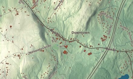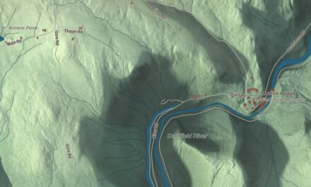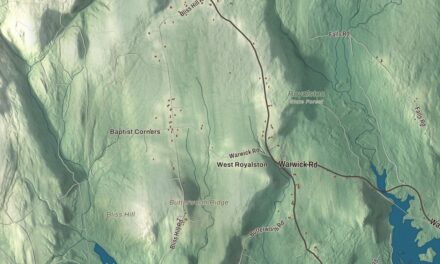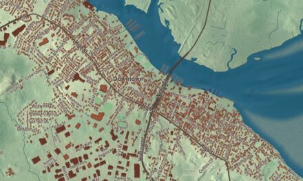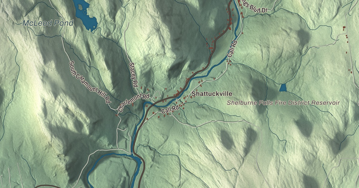
Colrain is a big hill town on the Vermont line, a town of villages, where the two branches of the North River come together and Route 112 heads north toward the ski country. This map prints Main Road, Jacksonville Road, Greenfield Road, South Green River Road, Call Road and Prolovich Road, with the Green River, McLeod Pond, the North River Reservoir, Aunt Sophies Peak, Avery Hill and Bald Hill. Click here to purchase a print of this map for your wall.
Colrain is in Franklin County, on the northern border of both the county and the state.
KNOWOL made this map in 2026 from public survey data and gave it the look of an old atlas. The relief comes from United States Geological Survey elevation data, and the roads and the town line come from the Census Bureau. Colrain covers 43.4 square miles, second in area among the county’s towns, with Halifax and Guilford, Vermont, to the north, Leyden and Greenfield to the east, Shelburne and Charlemont to the south and Heath to the west. The town had 1,606 people at the 2020 census.
Boston Township No. 2
The Town of Colrain’s recorded history, in the Secretary of the Commonwealth’s list, dates European settlement to 1735, when the land was known as Boston Township No. 2. It began governing itself in 1745 under the name Colrain. Many of the first settlers came from Ireland and Scotland, and the town is said to be named for Lord Coleraine, an Irish peer. Local tradition says he was so pleased that he sent a fine bell for the new meetinghouse, and that it never arrived; one story has a dishonest agent selling it to a church in Boston, another has it going down with its ship. Colrain was incorporated as a town in 1761, on June 30, and the town remains part of Franklin County today. For more than 112 years it spelled its name “Colraine,” on maps too, until in 1873 the Commonwealth insisted on the spelling in its charter.
In the frontier wars of the mid-1700s Colrain was an active military post with four forts, all palisaded garrison houses: Fort Morrison, Fort Morris, Rev. Alexander McDowell’s private fort and Fort Lucas, built near the town meetinghouse on Chandler Hill. Militia held Forts Lucas and Morrison through King George’s War and again through the Seven Years’ War, quartered in townspeople’s homes, much to their irritation. The troops left for good in 1763, and by the end of the 1760s the forts had been abandoned.
Colrain City and the first schoolhouse flag
The town has nine historic villages: Elm Grove, Lyonsville, Foundry Village, Shattuckville, Griswoldville, Colrain City, Catamount Hill, Stewartville and Gimletville. Colrain City, the town center, got its name as a joke in the mid-1800s, because the little village at the foot of Chandler Hill was plainly anything but a city. It has hardly changed in 150 years. Its town green is a triangle where Main Road, Greenville Road and Jacksonville Road meet, in a steep-sided valley on a branch of the North River. The Town Hall is a former Congregational church built in 1834, the 1908 Griswold Public Library is still a library, and the oldest house, the Charles Thompson House at 9 Main Road, dates to about 1819. The center became the Colrain Center Historic District in 2006.
Up on Catamount Hill, in May 1812, the village schoolhouse flew the United States flag, making Colrain the first town in the country to fly it over a public schoolhouse. Catamount was a farming village from the mid-1700s to the late 1800s and was abandoned in the early 20th century. The state bought much of its land in 1967 for the Catamount State Forest. Today hikers and snowmobilers reach it, and McLeod Pond is popular with local anglers and canoeists.
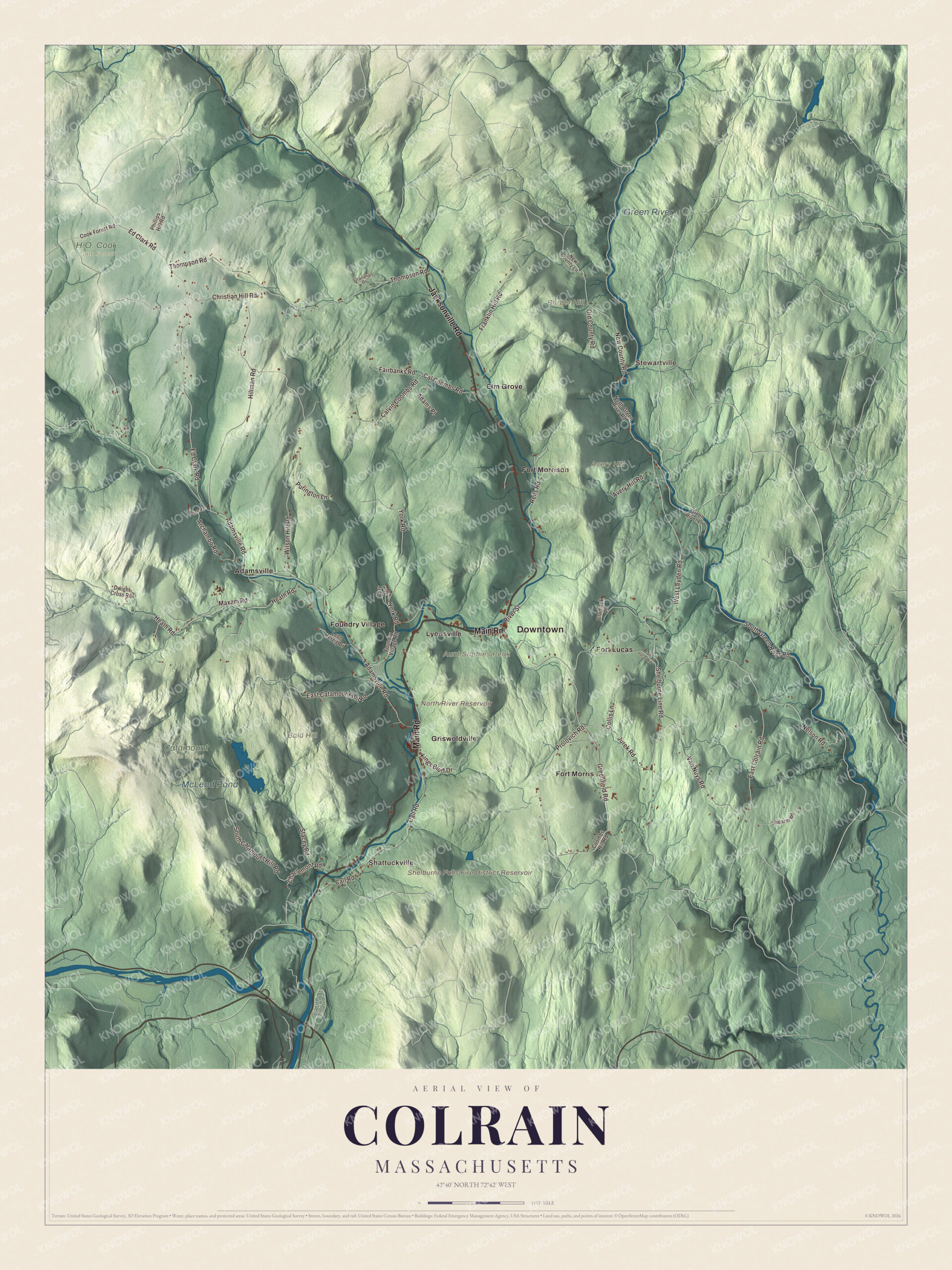
Click to explore a larger preview. The digital watermark does not appear on printed maps.
Names on this map
These names are printed on this map.
Places: Downtown, Shattuckville, Stewartville, Aunt Sophies Peak, Avery Hill, Bald Hill, Barber Hill, North River Reservoir, Shelburne Falls Fire District Reservoir, McLeod Pond, Green River, Catamount State Forest, H.O. Cook State Forest, Adamsville, Elm Grove, Fort Lucas, Fort Morris, Fort Morrison, Foundry Village, Griswoldville and Lyonsville.
Streets and roads: Main Road, Jacksonville Road, Greenfield Road, South Green River Road, Prolovich Road, Call Road, Christian Hill Road, Adamsville Road, Ed Clark Road, Wilson Hill Road, West Leyden Road, Thompson Road.
More street names, A to Z
Adams Place, Archambo Road, Avery Hill Road, Cal Coombs Road, Calvin Coombs Road, Cary Drive, Charlemont Road, Collis Lane, Cook Forest Road, Coombs Hill Road, Cromack Lane, Dwight Cross Road, East Catamount Hill Road, East Colrain Road, Fairbanks Road, Fort Lucas Road, Foundry Village Road, Franklin Hill Road, Green River Lane, Heath Road, Hillman Road, Jurek Road, Kings Bluff Drive, Leon Herzig Drive, Maxam Road, Nelson Road, New County Lane, New County Road, North Green River Road, Old County Road, Phillips Hill Road, Purington Lane, Reils Road, River Street, Shearer Road, Shelburne Line Road, South Catamount Hill Road, Stacey Road, Stranahan Drive, Van Nuys Road, White Road, York Road.
See it on a wall
The Colrain map as a framed print. Swipe for more.


Born in Colrain
William Apess, a Pequot Methodist minister, writer and activist, was born in Colrain in 1798. His 1829 book A Son of the Forest is one of the first autobiographies by a Native American writer, and he’s been described as perhaps the most successful activist for Native American rights in the antebellum United States. Lorenzo Lyons, born here in 1807, went to Hawaii as a missionary in 1832, served Waimea and its surrounding districts for 53 years and wrote the words of the hymn “Hawaiʻi Aloha.”
Around the map
Start with Shattuckville, then follow Main Road, Jacksonville Road, Greenfield Road, South Green River Road, Prolovich Road and Call Road across town, and look outward toward Stewartville, Adamsville, Elm Grove and Fort Lucas. Route 112, the main road through town, ends at the Vermont line and is a common route for skiers bound for Mount Snow, and it follows the East Branch of the North River south to its meeting with the West Branch. Except for a short stretch near Vermont, the Green River forms the whole eastern border on its way to Greenfield and the Deerfield River. Catamount State Forest lies in the southwest and half of the H.O. Cook State Forest in the northwest. The Shelburne Falls Fire District Reservoir, McLeod Pond, the Green River, Aunt Sophies Peak, Avery Hill, Bald Hill and the North River Reservoir are all printed on the map.
Colrain’s map makes a fine addition to an office, library or den, and it can help teach children the geography and history of the hill town their family comes from. It’s made for people who call Colrain home, from Shattuckville to Stewartville, and it shows the town as it looks today. Zoom in on the preview above to explore the details, then click here to get your copy of the Colrain, Massachusetts map.

Sources
- Colrain, Massachusetts, Wikipedia
- Colrain Center Historic District, Wikipedia
- Catamount, Massachusetts, Wikipedia
- William Apess, Wikipedia
- Lorenzo Lyons, Wikipedia
- Green River (Deerfield River tributary), Wikipedia
- City and Town Incorporation and Settlement Dates, Secretary of the Commonwealth of Massachusetts (archived copy)