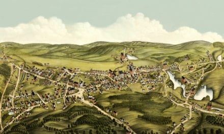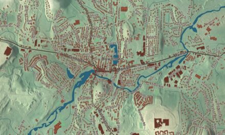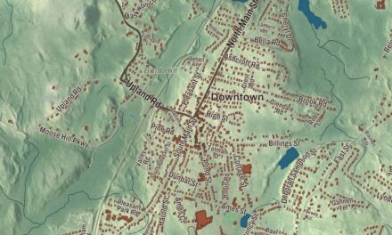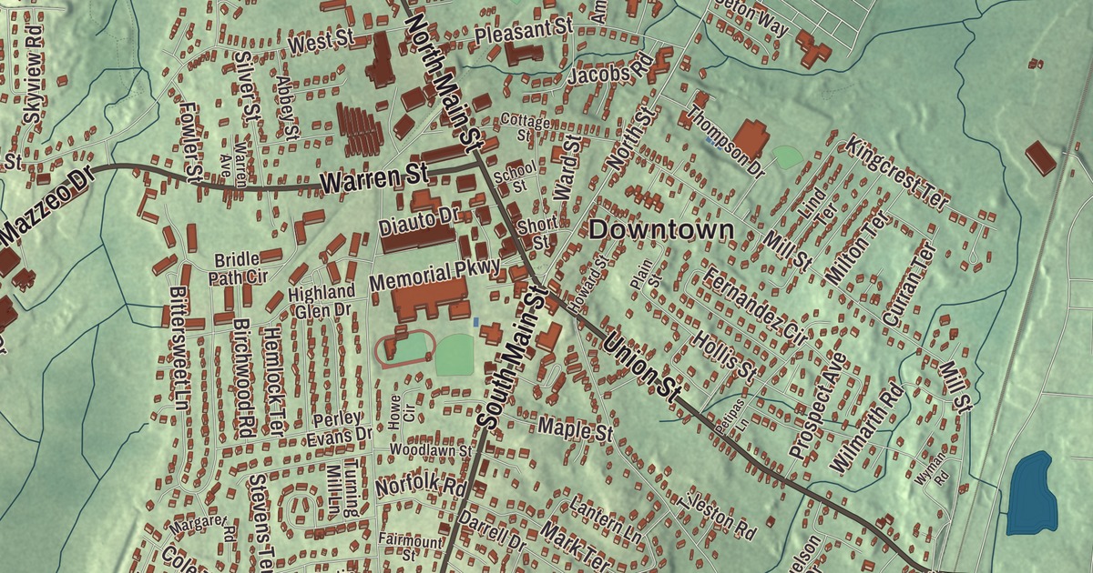
By 1850 Randolph was one of the country’s leading boot makers, shipping boots as far as California and Australia, and the old town hall built in those years still stands on South Main Street. This map of the town prints South Main Street, North Main Street, Union Street, Warren Street, North Street and Mazzeo Drive, with Great Pond Reservoir, Tower Hill and the Blue Hills Reservation. Click here to purchase a print of this map for your wall.
Randolph is in Norfolk County.
KNOWOL made this map in 2026 from public survey data and gave it the look of an old atlas. The relief comes from United States Geological Survey elevation data, and the streets and the town line from the Census Bureau. Randolph covers 10.5 square miles, drained by the Cochato and Blue Hill rivers, which flow on to the Neponset, and it had 34,984 people at the 2020 census. Since 2010 it has had a council and manager in place of town meeting, and it’s one of 13 Massachusetts places granted a city form of government that still keep “The town of” in their official names.
Cochaticquom
The Cochato people called the place Cochaticquom. The Town of Randolph’s recorded history, in the Secretary of the Commonwealth’s list, dates European settlement to 1710. It had been the south precinct of Braintree, and Randolph was incorporated as a town in 1793. According to the centennial address delivered by John V. Beal, it was named for Peyton Randolph, the first president of the Continental Congress.
When the town began, local farmers were making shoes and boots to add to what their small farms brought in. Within half a century that sideline was the town’s main business, drawing workers from across New England, Canada and Ireland and later from Italy and Eastern Europe. Several large shoe companies were based here, and some popular styles, among them the “Randies,” were made only in Randolph. The town page says the trade’s decline at the start of the 20th century led to Randolph’s growth as a suburb, and light manufacturing and service jobs have taken its place. From the 1950s many Jewish families moved here from Boston’s Dorchester and Mattapan; there were fifteen or twenty Jewish families in 1950 and about 9,000 Jewish residents by 1980, the largest such community south of Boston, with a kosher butcher, a bakery and two synagogues at its peak.
The writer Mary E. Wilkins Freeman was born in Randolph in 1852, came back after her family’s Vermont business failed, and began writing here for a living after her father’s death in 1883; she’s best known for her novel Pembroke, and her ghost stories are still often anthologized. In 1969 a Randolph High School guidance counselor told students he could send them all to college with a nickel for every cigarette butt he found on the ground, and the class of 1970, with the Rotary Club, asked local smokers to quit for a day and give the savings to a scholarship fund. The idea went national in 1977 as the Great American Smokeout, which the American Cancer Society holds every November.
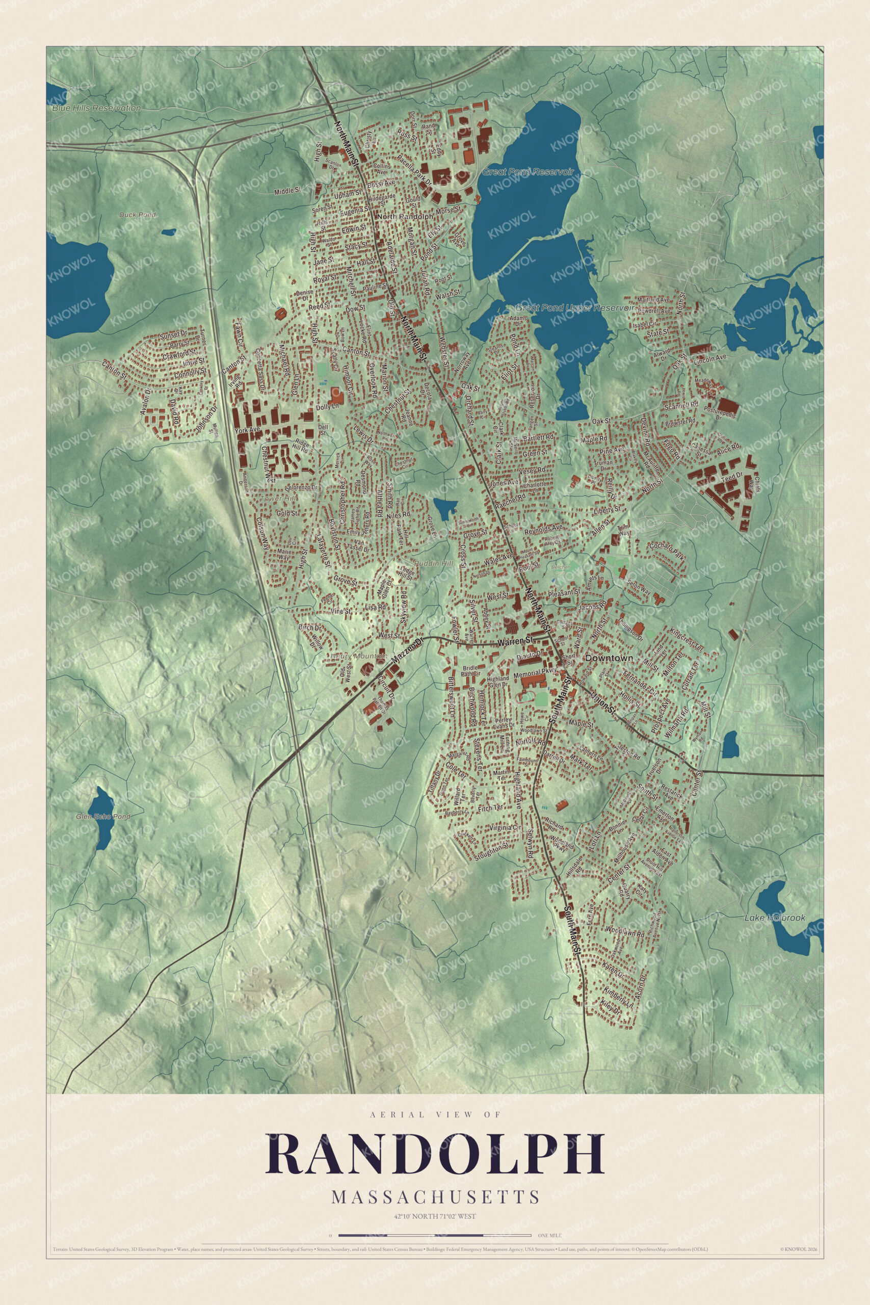
Click to explore a larger preview. The digital watermark does not appear on printed maps.
Names on this map
These names are printed on this map.
Places: Downtown, North Randolph, Neary Mountain, Puddin Hill, Tower Hill, Duck Pond, Glen Echo Pond, Great Pond Reservoir, Great Pond Upper Reservoir, Lake Holbrook, Blue Hills Reservation, Belcher Park and Cochato Park.
Streets and roads: South Main Street, Union Street, Mazzeo Drive, North Main Street, Warren Street, North Street, Chestnut West, High Street, Canton Street, Oak Street, West Street, Center Street.
More street names, A to Z
Abbey Street, Acorn Drive, Adams Drive, Adelaide Street, Alice Road, Allen Street, Althea Road, Alward Drive, Amvets Lane, Anderson Drive, Avalon Drive, Barry Circle, Barry Street, Bartlett Road, Bayberry Lane, Beverly Terrace, Birch Drive, Birchwood Road, Bittersweet Lane, Blakely Circle, Bonnie Lane, Bossi Avenue, Boylston Street, Brewster Road, Bridle Path Circle, Canessa Street, Cedar Circle, Charlotte Lane, Chestnut Circle, Chestnut Street, Chiefs Way, Christopher Road, Christy Lane, Circuit Drive, Clark Circle, Clark Street, Cole Terrace, Collins Avenue, Colson Way, Concetta Sass Drive, Connolly Street, Cottage Street, Crawford Street, Crickett Lane, Cross Street, Crowley Drive, Curran Terrace, Darrell Drive, David Road, Decota Drive, Dell Street, Delorenzo Drive, Denise Drive, Desmond Road, Devine Road, Diauto Drive, Dolly Lane, Dorr Street, Dow Street, Druid Hill Avenue East, Dunn Terrace, East Alden Avenue, Eddy Street, Edwin Street, Eliot Street, Ely Street, Emerton Avenue, Emily Jeffers Road, Eugenia Street, Fairmount Street, Fawn Circle, Feener Circle, Fernandez Circle, Fern Avenue, Fitch Terrace, Flint Locke Road, Fogo Road, Fowler Street, Glen Lane, Gloria Road, Gold Street, Gould Street, Green Street, Grove Avenue, Grove Lane, Grove Street, Hall Street, Hemlock Terrace, Highland Avenue, Highland Glen Drive, Hildegarde Street, Hill Park Terrace, Hillsdale Road, Hills Street, Himoor Circle, Hollis Street, Howard Street, Howe Circle, Imrie Street, Irving Road, Isabel Circle, Jacobs Road, James Tighe Road, Jane Street, Jeanne Road, Johnson Drive, Jones Avenue, Julian Road, Karen Drive, Katy Circle, Kay Drive, Kiley Drive, Kimberly Lane, Kingcrest Terrace, Lafayette Street, Lantern Lane, Ledge Hill Street, Lewis Drive, Lewis Road, Liberty Place, Liberty Street, Lincoln Avenue, Lind Terrace, Lisa Road, Lori Lane, Lou Circle, Maitland Avenue, Maple Glen Court, Maple Road, Maple Street, Marconi Drive, Margaret Road, Marie Way, Marion Street, Mark Terrace, Martin Terrace, McAuliffe Road, McDonnell Drive, McNeill Street, Meadow Lane, Memorial Parkway, Merrick Circle, Michael Road, Middle Street, Millhouse Avenue, Mill Street, Milton Terrace, Mitchell Street, Morgan Street, Morse Street, Mount Pleasant Square, Mullen Street, Nelson Drive, Niles Road, Norfolk Road, Norroway Avenue, Northway Road, Oakwood Avenue, Old Street, Old West Street, Orchard Street, Overlook Road, Ox Bow Lane, Pacella Park Drive, Patterson Avenue East, Pauline Street, Perley Evans Drive, Petipas Lane, Pine Avenue, Plain Street, Pleasant Street, Pond Lane, Pond Street, Posturepedic Drive, Powdrell Avenue, Prospect Avenue, Quarry Road, Raechel Road, Rae Circle, Ralph Stubbs Road, Rand Street, Reed Street, Reilly Drive, Reservoir Drive, Restarick Avenue, Reynolds Avenue, Richard Road, Richwood Avenue North, Ridge Hill Road, Robert Arey Drive, Roel Street, Root Street, Rose Way, Royal Street, Russ Street, Scally Circle, Scanlon Drive, Scannell Road, School Lane, School Street, Selwyn Road, Seton Way, Short Street, Silver Street, Skyview Road, Smith Road, Soren Street, South Street, Stacy Street, State Street, Stearns Drive, Stevens Terrace, Stoughton Street, Sunnyworth Lane, Sunset Drive, Tangen Street, Teed Drive, Thomas Patten Drive, Thompson Drive, Tiffany Drive, Tileston Road, Trim Way, Truelson Drive, Truman Drive, Turner Drive, Turning Mill Lane, Upham Street, Van Tassel Drive, Vesey Road, Vine Street, Virginia Circle, Waldo Street, Wales Avenue, Walsh Street, Ward Street, Warren Avenue, Webster Street, Willard Terrace, Willow Drive, Wilmarth Road, Woodland Parkway, Woodlawn Road, Woodlawn Street, Wyman Road, York Avenue.
Around the map
Start with North Randolph. Follow South Main Street, Union Street, Mazzeo Drive, North Main Street, Warren Street and North Street across town. Stetson Hall, at 6 South Main Street, was built in 1842 with money from Amasa Stetson and served as the town hall for most of its history; its temple front has six Ionic columns two stories tall, and it sits on high ground at the center of town. Up North Main Street, at number 360, the Jonathan Belcher House was built in 1806 and given in 1911 to the Ladies Library Association, now the Randolph Women’s Club, whose home it still is. The Turner Free Library, founded in 1874 by the Turner family on condition that the town keep a free public library on the site, opened in 1875.
Duck Pond, Glen Echo Pond, Great Pond Reservoir, Great Pond Upper Reservoir, the Blue Hills Reservation, Neary Mountain, Puddin Hill and Tower Hill are all printed on the map. Randolph is one of six towns the 7,000-acre state reservation covers, and Ponkapoag Pond, a shallow 203-acre pond on the Canton line, lies within it. A walking trail circles the pond, and the Appalachian Mountain Club’s Ponkapoag Camp, with 20 cabins, sits on its eastern shore and is listed on the National Register.
The Randolph map makes a fine addition to an office, library or den, and it can help teach children the geography and history of an old boot-making town. It’s made for people who call Randolph home, from North Randolph to the Blue Hills, and it shows the town as it looks today. Zoom in on the preview above to explore the details, then click here to get your copy of the Randolph, Massachusetts map.

We made a map for every town and city in Massachusetts. Explore the complete Massachusetts map collection and find your town.
Sources
- Randolph, Massachusetts, Wikipedia
- Stetson Hall, Wikipedia
- Jonathan Belcher House, Wikipedia
- Mary E. Wilkins Freeman, Wikipedia
- Great American Smokeout, Wikipedia
- Blue Hills Reservation, Wikipedia
- Ponkapoag Pond, Wikipedia
- City and Town Incorporation and Settlement Dates, Secretary of the Commonwealth of Massachusetts (archived copy)