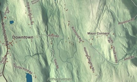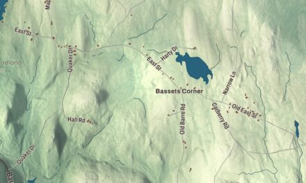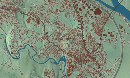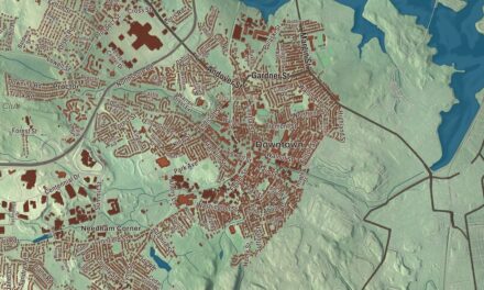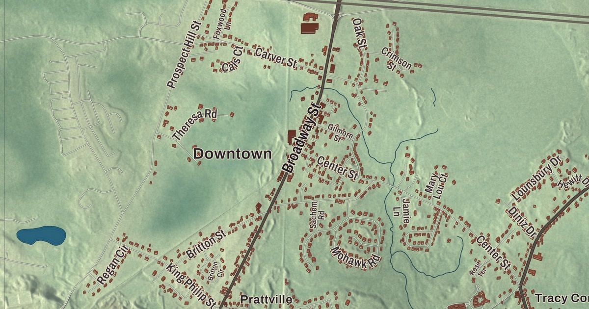
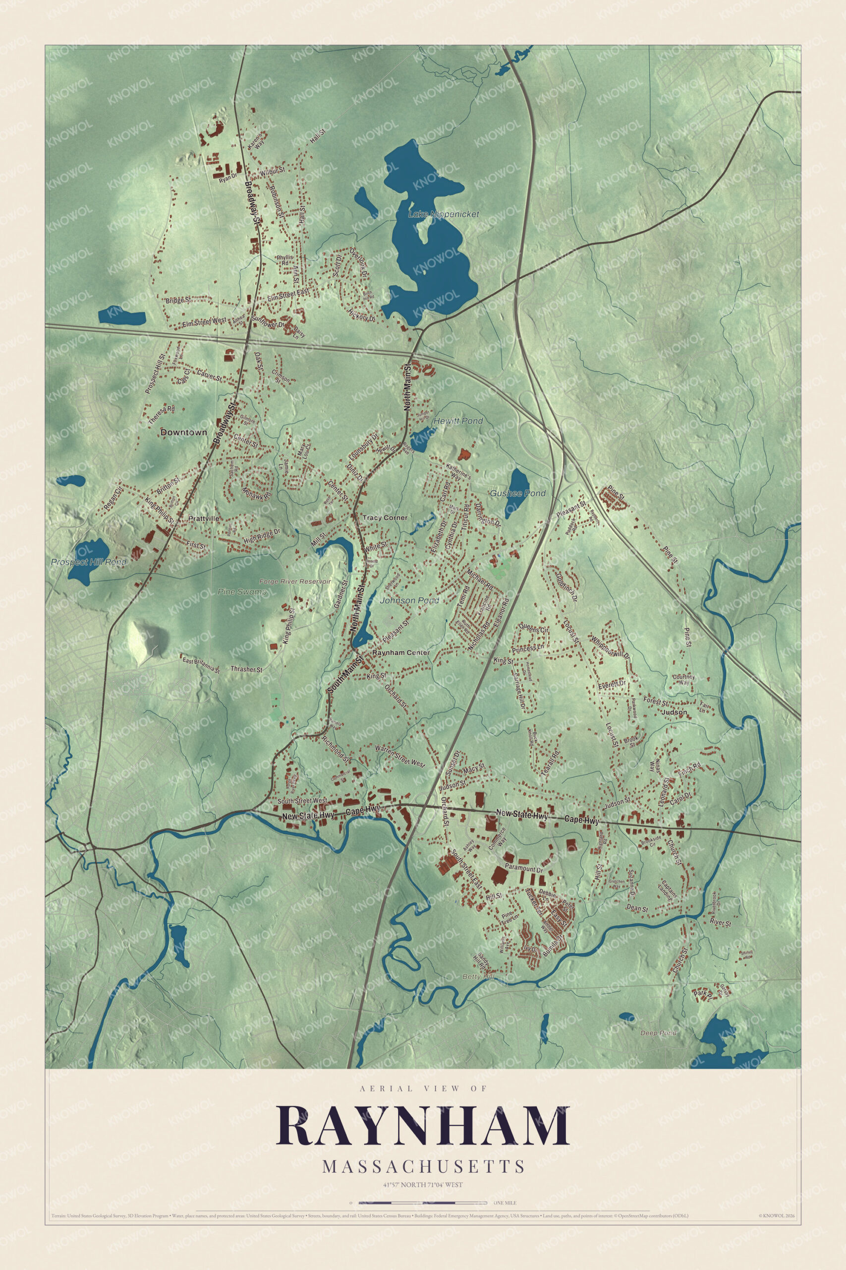
Iron was worked on the Forge River in Raynham for two hundred and twenty years, from 1656 to 1876, and the little river still winds from Gushee Pond past Tracy Corner to Raynham Center. This map of the town prints North Main Street, South Main Street, Broadway Street, Pleasant Street, New State Highway and Cape Highway, with Gushee Pond, Deep Pond, Lake Nippenicket and Betty Hill. Click here to purchase a print of this map for your wall.
Raynham is in Bristol County.
KNOWOL made this map in 2026 from public survey data and gave it the look of an old atlas. United States Geological Survey elevation data shapes the land, and the Census Bureau supplied the roads and the town line. Raynham lies about 32 miles south of Boston and 22 miles northeast of Providence, and its one village is Raynham Center. It had 15,082 people at the 2020 census.
The east end of Taunton
The town page says the land that’s now Raynham was settled in 1639 as part of Taunton, the town founded by Elizabeth Pole, a well-born Englishwoman from Devon; her own page calls her the first woman known to have founded a town in the Americas. A few years earlier Roger Williams, fleeing a conviction for sedition and heresy, had escaped to this area through a January blizzard, and the Wampanoag sheltered him at their winter camp; their sachem Massasoit hosted him until spring. The Town of Raynham’s recorded history, in the Secretary of the Commonwealth’s list, dates European settlement to 1652.
That was the year bog iron was found along the Two Mile, or Forge, River. Taunton invited the brothers James and Henry Leonard, iron men from Pontypool in Wales, to set up a works, and the Taunton Iron Works, also called the Leonard Iron Works, began making bar iron in 1656. It was the first iron works in Plymouth Colony. It later became a rolling and nail works and then an anchor forge before it closed in 1876. Raynham was incorporated as a town in 1731, when the eastern end of Taunton was set apart on April 2 and named for Raynham in Norfolk, England. Ship hulls were built along the Taunton River here and sailed downriver toward Fall River and Narragansett Bay to be fitted out, but for the most part the town was known for its farms.
Toby Gilmore
Toby Gilmore was born in coastal West Africa as Shibodee Turrey Wurry, the son of a local chief. Around 1758, as a boy of about sixteen, he was kidnapped and carried across the ocean in chains, then sold in Rhode Island to John Gilmore, a sea captain from Raynham. He won his freedom by enlisting in the Continental Army, serving with companies at the Battle of Monmouth, White Plains, West Point and the winter at Valley Forge. After the war he married Rosanna Hack, raised eight children, ran a business with her and bought forty-five acres in Raynham. The first house he built, about 1784, still stands, and his grave is in the Hall and Dean Cemetery in West Raynham. A cannon known as “Old Toby,” which local history says he was given for his service and fired every Fourth of July, is kept by the Old Colony Historical Society in Taunton.
Two Medal of Honor recipients are on Raynham’s list of notable people: Frederick C. Anderson, who captured a Confederate battle flag near Petersburg in 1864, and Jared C. Monti, honored for trying to rescue a wounded soldier under fire in Afghanistan in 2006. Gil Santos, the longtime radio voice of the New England Patriots, is on the list too. Wat Nawamintararachutis, a Thai Buddhist temple with resident monks, opened in Raynham in June 2014 on 35 acres of former farmland, and it’s considered the largest Thai Buddhist meditation center outside Thailand.
Click to explore a larger preview. The digital watermark does not appear on printed maps.
Names on this map
These names are printed on this map.
Places: Downtown, Betty Hill, Deep Pond, Forge River Reservoir, Lake Nippenicket, Prospect Hill Pond, Gushee Pond, Johnson Pond, Hewitt Pond, Pine Swamp, Judson, Prattville, Raynham Center and Tracy Corner.
Streets and roads: North Main Street, South Main Street, Broadway Street, Cape Highway, New State Highway, Pleasant Street, Elm Street East, Elm Street West, King Philip Street, Paramount Drive, Locust Street, Judson Street.
More street names, A to Z
Althea Street, Amber Way, Ann Street, Arnold Drive, Ashley Way, Bayberry Road, Birch Hill Road, Bridge Street, Britton Circle, Britton Street, Brookside Circle, Brook Street, Buck Knoll Road, Bumila Drive, Cals Court, Captains Landing, Carl Road, Carol Drive, Carriage Hill Drive, Carver Street, Center Street, Church Street, Commerce Way, Commercial Street, Courtney Way, Crimson Street, Cynthia Drive, Daisy Lane, Darrington Drive, Dean Street, Debbie Lane, Diniz Drive, East Britannia Street, Easy Street, Eleanor Road, Elizabeth Drive, Everett Drive, Fair Lane, Finch Road, First Street, Forest Street, Forge River Parkway, Foxwood Lane, Francine Road, Gardner Street, Gatsby Drive, Gilmore Street, Goldfinch Drive, Gretchen Way, Hall Street, Hewitt Drive, Hickory Drive, Highland Road, High Ridge Drive, Hill Street, Homestead Drive, Ivy Drive, Jamie Lane, Juniper Hill Drive, Karen's Way, Katherine's Way, King Street, Leonard Street, Lounsbury Drive, Macy Street, Mark Drive, Mary Lou Court, Michael Road, Mill Street, Mohawk Road, Nicholas Road, Ninas Way, Oak Street, Orchard Street, Overlook Drive, Paddock Road, Pamela Way, Park Place, Parkwood Drive, Peter Street, Phyllis Road, Pine Street, Pine Tree Lane, Pontiac Road, Princess Lane, Prospect Hill Street, Queens Circle, Regan Circle, Richmond Street, Riverbrook Drive, River Street, Robinson Street, Rogers Avenue, Rose Terrace, Ruth Ellen Road, Ryan Drive, Sachem Road, Sandy Hill Road, Scott Drive, Sherwood Lane, Shirley Road, South Street East, South Street West, Sunflower Drive, Sunset Drive, Suzanne Drive, Tearall Road, Temi Road, Theresa Road, Thrasher Street, Titicut Road, Tucker Terrace, Warren Street West, Whippoorwill Drive, White Street, Wilbur Street, Williams Avenue.
See it on a wall
The Raynham map as a framed print. Swipe for more.


Around the map
Start with Judson. Follow North Main Street, South Main Street, Broadway Street, Cape Highway, New State Highway and Pleasant Street across town. Then look outward toward Prattville, Raynham Center and Tracy Corner. The Forge River runs 5.1 miles, all of it in Raynham: it rises at Gushee Pond near Interstate 495, flows northwest through Titicut Swamp, then turns southwest past Tracy Corner and through Raynham Center to meet the Taunton River.
Deep Pond, Lake Nippenicket, Prospect Hill Pond, Gushee Pond, Betty Hill and the Forge River Reservoir are all printed on the map. Lake Nippenicket, known locally as the Nip, lies in Bridgewater, right next to Raynham, and much of it falls within the Hockomock Swamp Wildlife Management Area. The Hockomock Swamp itself, about 16,950 acres across six towns including Raynham, is considered the largest freshwater swamp in Massachusetts; its name is an Algonquin term meaning “place where spirits dwell.”
The Raynham map makes a fine addition to an office, library or den, and it can help teach children the geography and history of an old iron-making town. It’s made for people who call Raynham home, from Judson to Raynham Center, and it shows the town as it looks today. Zoom in on the preview above to explore the details, then click here to get your copy of the Raynham, Massachusetts map.

Sources
- Raynham, Massachusetts, Wikipedia
- Elizabeth Poole, Wikipedia
- Taunton Iron Works, Wikipedia
- Toby Gilmore, Wikipedia
- Wat Nawamintararachutis, Wikipedia
- Forge River, Wikipedia
- Lake Nippenicket, Wikipedia
- Hockomock Swamp, Wikipedia
- City and Town Incorporation and Settlement Dates, Secretary of the Commonwealth of Massachusetts (archived copy)