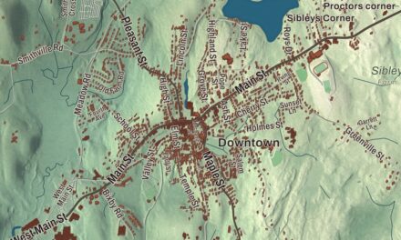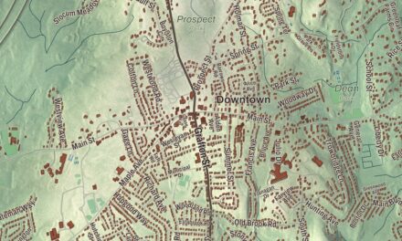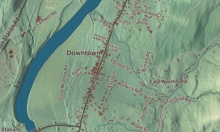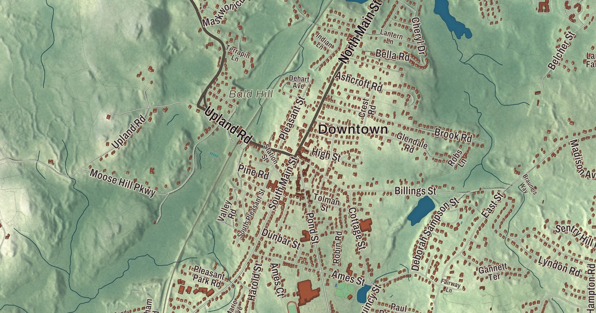
Deborah Sampson, who put on a man’s uniform to fight in the Revolution, spent the rest of her life in Sharon, and her statue stands in front of the public library on North Main Street. This map of the town prints North Main Street, Norwood Street, High Plain Street, Upland Road, Mountain Street and General Edwards Highway, with Massapoag Lake at the middle of it all. Click here to purchase a print of this map for your wall.
Sharon is in Norfolk County.
KNOWOL made this map in 2026 from public survey data and gave it the face of an old atlas. United States Geological Survey elevation data shapes the hills, and the roads and the town line come from the Census Bureau. Sharon covers 24.2 square miles about 17 miles southwest of downtown Boston, with Walpole and Norwood to the north, Stoughton and Canton to the east, Mansfield and Easton to the south and Foxborough to the west. A commuter rail line links it to both Boston and Providence. Sharon had 18,575 people at the 2020 census.
Stoughtonham
The town page says Sharon was first settled in 1637, as part of the Massachusetts Bay Colony. The Town of Sharon’s recorded history, in the Secretary of the Commonwealth’s list, dates European settlement to 1650. In 1740 it became the second precinct of Stoughton, in 1765 the district of Stoughtonham, and Sharon was incorporated as a town in 1775, still under the name Stoughtonham. A year later part of it went to the new town of Foxborough. On February 25, 1783, the town took the name Sharon, after the Sharon plain in Israel, for its many forests. During the Revolution, Sharon people made cannonballs and cannons for the Continental Army. The Stoughtonham Furnace, an iron foundry on the Foxborough line, made cannons and ammunition for the Continental Army throughout the war under the artillery colonel Richard Gridley and his partners, and its site is listed on the National Register of Historic Places.
Deborah Sampson
Deborah Sampson enlisted in 1782 under the name Robert Shirtliff and served about 17 months before her secret came out, and she was honorably discharged at West Point. In 1785 she married Benjamin Gannett, a Sharon farmer, and lived in Sharon until the end of her life. She spent years trying to get a pension for her service. Paul Revere, a friend, visited her at the farm in 1804 and wrote to her congressman, William Eustis, that he found her “much more deserving than hundreds to whom Congress have been generous,” and a year later she was placed on the pension list. She’s buried in Rock Ridge Cemetery. Sharon has a Deborah Sampson Street and a Deborah Sampson Park, and in 1983 the state made her the official State Heroine of the Commonwealth. The Unitarian and Congregational churches in the center of town both ring bells made by Revere.
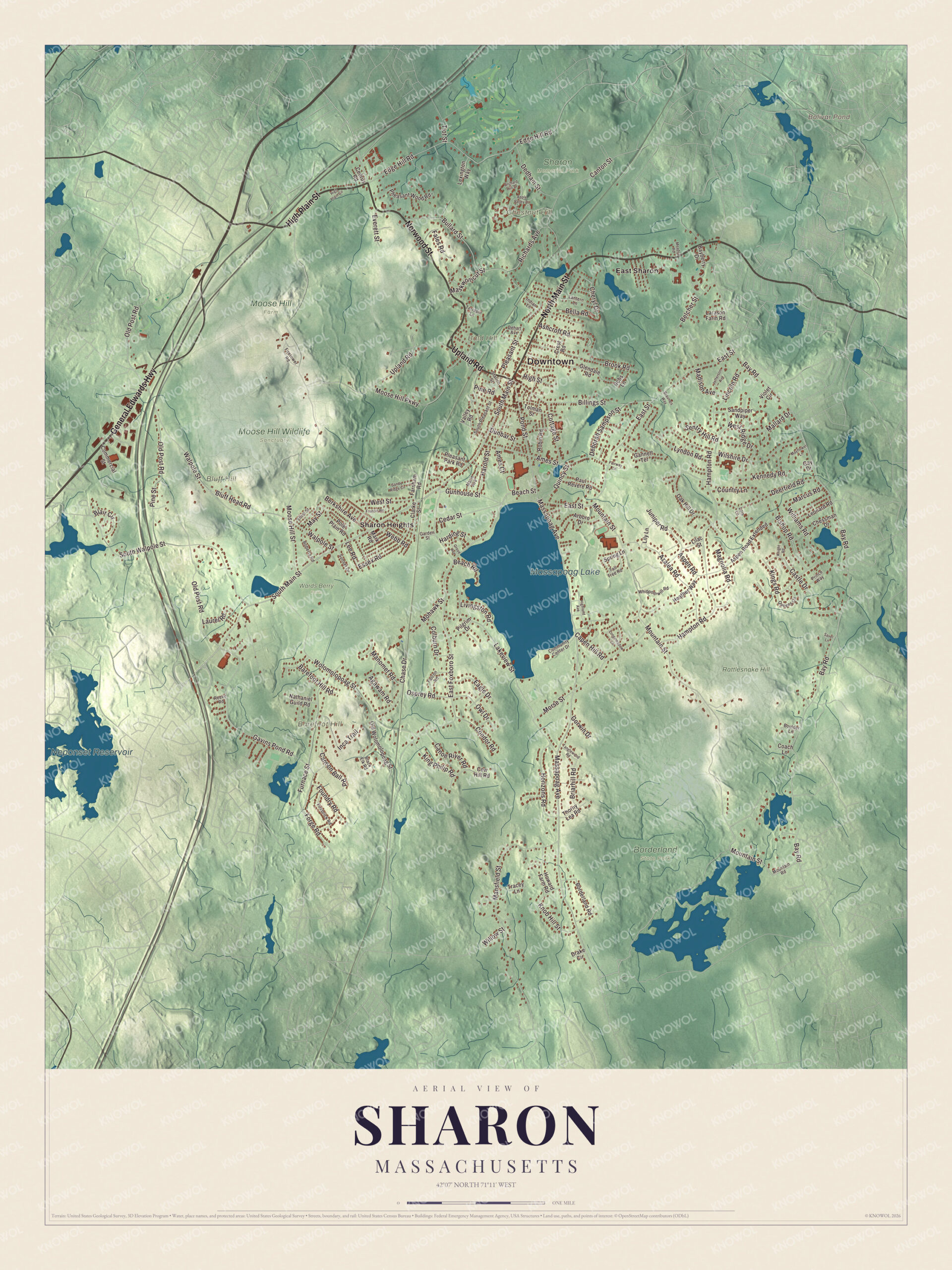
Click to explore a larger preview. The digital watermark does not appear on printed maps.
Names on this map
These names are printed on this map.
Places: Downtown, Bald Hill, Barefoot Hill, Bluff Hill, Chestnut Hill, Bolivar Pond, Massapoag Lake, Neponset Reservoir, Borderland State Park, Moose Hill Farm, Moose Hill Wildlife Sanctuary, Rattlesnake Hill, Sharon Memorial Park, Wards Berry Farm, East Sharon and Sharon Heights.
Streets and roads: North Main Street, Norwood Street, High Plain Street, Upland Road, General Edwards Highway, Mountain Street, South Main Street, Beach Street, Pond Street, Massapoag Avenue, Edge Hill Road, Beach Road.
More street names, A to Z
Agawam Road, Ames Court, Ames Street, Apple Valley Drive, Arboro Drive, Ashcroft Road, Aspen Road, Aspen Road Extended, Azalea Road, Barefoot Hill Road, Bayberry Drive, Bay Road, Belcher Street, Bella Road, Berkshire Avenue, Billings Street, Bishop Road, Black Elk Road, Blair Circle, Bluff Head Road, Borderland Road, Boulder Lane, Brauneis Way, Briarhill Road, Brook Road, Bullard Street, Cannon Ball Road, Canoe River Road, Canton Street, Capen Hill Road, Castle Drive, Cedar Street, Cedrus Road, Chase Drive, Cheryl Drive, Chessman Drive, Clarke Street, Coach Lane, Colburn Drive, Commercial Street, Community Center Drive, Condor Road, Cottage Street, Country Lane, Cow Hill Road, Crest Road, Deborah Sampson Street, Dedham Street, Deerfield Road, Dehart Avenue, Drake Circle, Dunbar Street, Eagle Drive, East Foxboro Street, East Street, Elliot Street, Essex Road, Everett Street, Fairway Lane, Falcon Road, Fales Road, Farnham Road, Firebrick Road, Firetower Road, Forge Road, Foundry Road, Francis Road, Furnace Street, Gannett Terrace, Garden Street, Gavins Pond Road, Gay Drive, Glendale Road, Gorwin Drive, Grove Avenue, Gunhouse Street, Hampton Road, Harding Street, Harold Street, Heather Way, Highland Avenue, High Plain Circle, High Street, Horizons Road, Howard Farm Road, Inca Trail, Indian Lane, Jefferson Avenue, Juniper Road, Kennedy Road, King Philip Road, Kings Road, Knight Road, Knob Hill Street, Lakeview Street, Lantern Lane, Larason Farm Road, Laurel Road, Lee Road, Leonard Road, Lexington Way, Lilac Street, Lily Lane, Lincoln Road, Livingston Road, Lois Lane, Longmeadow Lane, Lyndon Road, Madison Avenue, Magnolia Road, Mallard Drive, Manomet Road, Mansfield Street, Marcus Road, Marie Avenue, Mark Road, Maskwonicut Street, Mayflower Lane, May Street, Meadow Road, Mohawk Street, Moose Hill Parkway, Moose Hill Street, Morse Street, Mountain Road, Nathaniel Guild Road, Oak Hill Drive, Old Post Road, Old Wolomolopoag Street, Orchard Hill Drive, Osprey Road, Owl Drive, Paul Revere Road, Pheasant Wood Road, Pilgrim Drive, Pine Road, Pine Street, Pleasant Park Road, Pleasant Street, Pole Plain Road, Prince Way, Queens Circle, Quincy Street, Reeve Road, Richards Avenue, Roberta Road, Robin Road, Robs Lane, Sandpiper Way, Sandy Ridge Circle, Savel Lane, Sentry Hill Road, South Pleasant Street, South Walpole Street, Spring Lane, Station Street, Sunset Drive, Tall Tree Road, Tanglewood Road, Terrapin Lane, Thorny Lea Road, Tiot Street, Tolman Street, Tracey Lane, Valley Road, Violet Circle, Walpole Street, Webb Road, West Ridge Drive, West Street, Whippoorwill Road, Williams Road, Willow Street, Wilshire Drive, Wolomolopoag Street.
Around the map
Start with East Sharon. Follow North Main Street, Norwood Street, High Plain Street, Upland Road, General Edwards Highway and Mountain Street across town. Then look outward toward Sharon Heights. Bolivar Pond, Massapoag Lake, Neponset Reservoir, Bald Hill, Barefoot Hill and Bluff Hill are all printed on the map. Sharon’s First Historic District runs along North Main Street from Post Office Square to School Street, taking in the library and both churches. Cobb’s Tavern, built around 1740, served as a tavern for most of the nineteenth century and housed the East Sharon Post Office from 1817 to 1895. Lake Massapoag, whose Algonquin name means “large water,” is a spring-fed lake of 353 acres. In the nineteenth century a big ice business worked it, with a huge wooden icehouse at the east end; the lake, the town’s slightly higher ground and the rail line from Boston made its shores a small summer resort of hotels, camps and cottages, and the icehouse site is now the town beach. Moose Hill Wildlife Sanctuary, founded in 1916 and the oldest property of the Massachusetts Audubon Society, covers 1,971 acres with 25 miles of trails. The Kendall Whaling Museum, founded in Sharon in 1955, joined the New Bedford Whaling Museum in 2001, and its archives are still kept in town.
The Sharon map makes a fine addition to an office, library or den, and it can help teach children the geography and history of Deborah Sampson’s town. It’s made for people who call Sharon home, from East Sharon to Sharon Heights, and it shows the town as it looks today. Zoom in on the preview above to explore the details, then click here to get your copy of the Sharon, Massachusetts map.

We made a map for every town and city in Massachusetts. Explore the complete Massachusetts map collection and find your town.
Sources
- Sharon, Massachusetts, Wikipedia
- Deborah Sampson, Wikipedia
- Stoughtonham Furnace Site, Wikipedia
- Cobb’s Tavern, Wikipedia
- Lake Massapoag, Wikipedia
- Moose Hill Wildlife Sanctuary, Wikipedia
- City and Town Incorporation and Settlement Dates, Secretary of the Commonwealth of Massachusetts (archived copy)