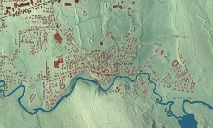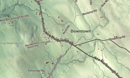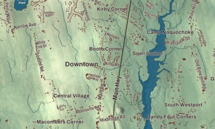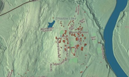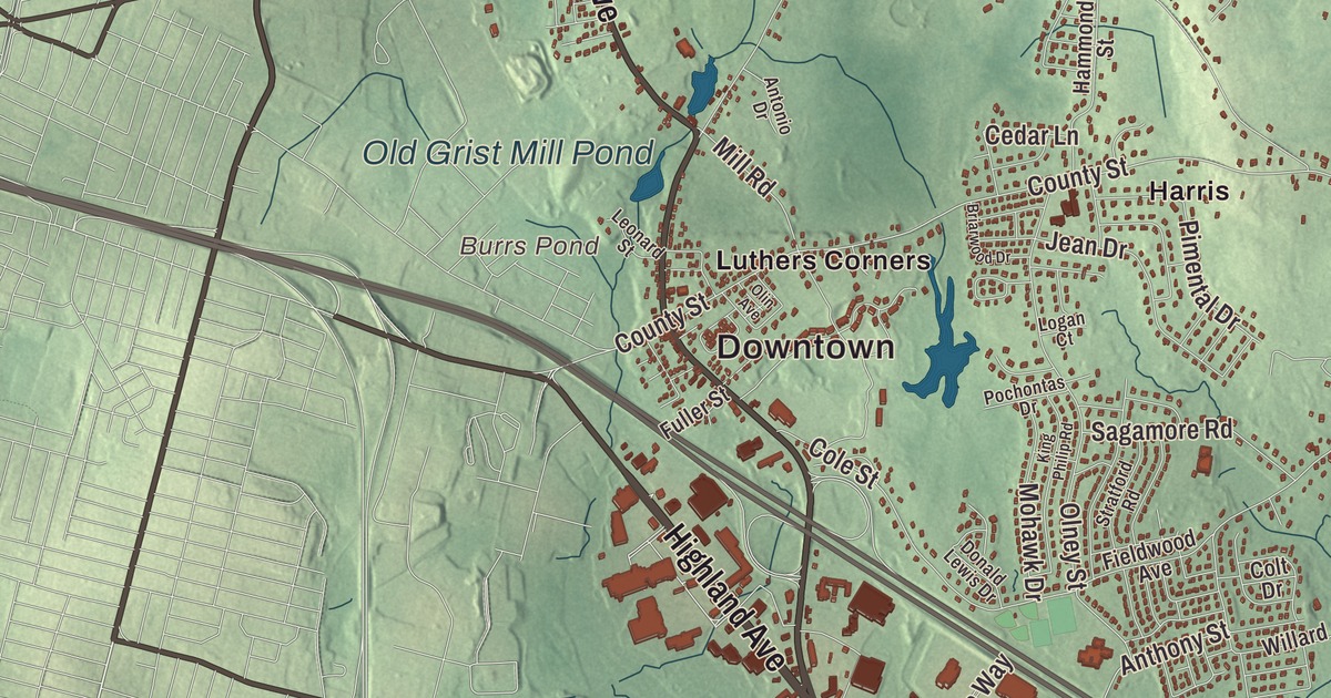
Seekonk lies on the Rhode Island line just five miles east of Providence, and this map of the town prints Fall River Avenue, Taunton Avenue, Newman Avenue, Central Avenue, Highland Avenue and Mink Street, from North Seekonk and Perrins Crossing down to South Seekonk. Click here to purchase a print of this map for your wall.
Seekonk is in Bristol County.
KNOWOL made this map in 2026 from public survey data and dressed it in the style of an old atlas. United States Geological Survey elevation data shapes the land, and the roads and the town line come from the Census Bureau. Seekonk covers 18.4 square miles, with Attleboro to the north, Rehoboth to the east, Swansea and Barrington, Rhode Island, to the south and East Providence and Pawtucket, Rhode Island, to the west. Much of the population lives in two areas, the Lebanon Mills and Perrins Crossing neighborhoods in the north and Luthers Corners and South Seekonk in the south. The town had 15,531 people at the 2020 census.
Wampanoag country
The earliest known people here were Wampanoag, and at one time there were three Native villages in what’s now Seekonk; they spent summers near the rivers and the sea and moved inland for the winter, including to several spots in town. The name has been spelled many ways, among them Seconch, Seaconke and Squannakonk, and the town’s seal shows a goose in flight; the town page says the “black” Canada geese still seen here gave the town its name. In 1641 Native people granted much of today’s Seekonk to buyers from Hingham, and in 1653 the Wampanoag leader Ossamequin, known as Massasoit, and his son Wamsetto signed a deed for the land that’s now Seekonk and its neighbors. William Blackstone, Roger Williams and Samuel Newman were among the first Englishmen to settle in the country around Seekonk and Providence. The Town of Seekonk’s recorded history, in the Secretary of the Commonwealth’s list, dates European settlement to 1636.
A border settled
For about two hundred years the area was mostly farms, and the land that’s now Rehoboth, East Providence, Pawtucket and Seekonk was in dispute between Rhode Island and Massachusetts. Seekonk was incorporated as a town in 1812, from the western half of Rehoboth. Two mill villages grew up beside the farms, with businesses such as the Rumford Chemical Works, but in 1862 a United States Supreme Court decision settled the long border dispute and gave a large part of Seekonk to Rhode Island, where it became East Providence and eastern Pawtucket. Seekonk lost its industrial area, more than two-thirds of its people and two-thirds of its property value. The town stayed mostly agricultural into the twentieth century, though the Kent Manufacturing Company made tennis racquets and croquet sets on the upper Ten Mile River. After the Providence and Taunton street railway opened in 1891, Seekonk grew into a residential suburb of Providence.
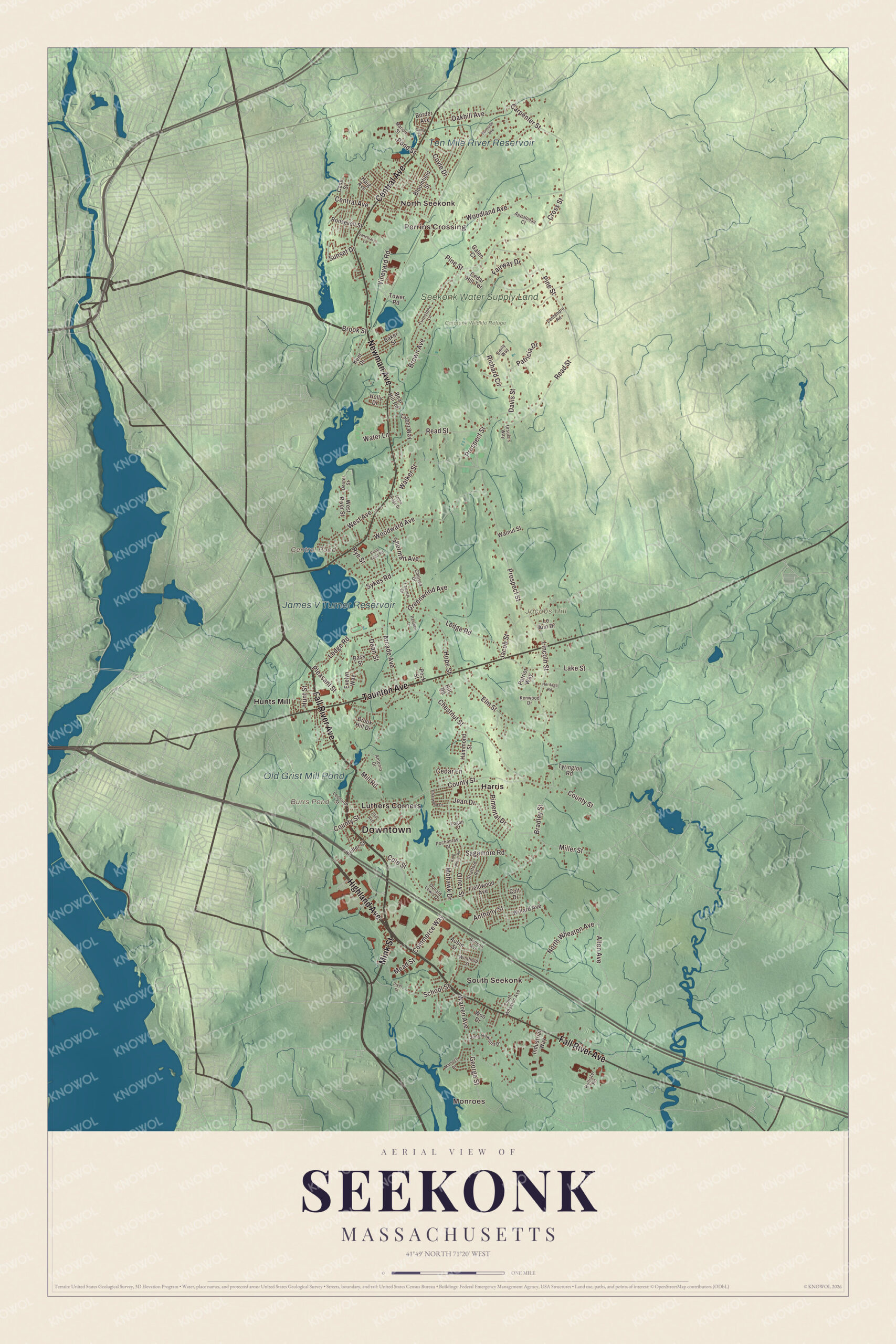
Click to explore a larger preview. The digital watermark does not appear on printed maps.
Names on this map
These names are printed on this map.
Places: Downtown, Monroes, North Seekonk, South Seekonk, Perrins Crossing, Jacobs Hill, Burrs Pond, Central Pond, James V Turner Reservoir, Ten Mile River Reservoir, Old Grist Mill Pond, Seekonk Water Supply Land, Caratunk Wildlife Refuge, Harris, Hunts Mill and Luthers Corners.
Streets and roads: Fall River Avenue, Mink Street, Taunton Avenue, Newman Avenue, Central Avenue, Highland Avenue, School Street, Anthony Street, County Street, Coyle Drive, Pine Street, Arcade Avenue.
More street names, A to Z
Allen Avenue, Antonio Drive, Appaloosa Court, Aubin Street, Baker Street, Bass Street, Bear Hill Road, Benson Avenue, Bloomfield Street, Border Avenue, Bradley Street, Briarwood Drive, Brook Hill Drive, Brook Street, Brown Avenue, Burnside Avenue, Carpenter Street, Case Street, Cedar Hill Terrace, Cedar Lane, Chelsea Drive, Chestnut Street, Cole Street, Colt Drive, Commerce Way, Cross Street, Dana Drive, Davis Street, Dean Street, Dexter Street, Donald Lewis Drive, Elm Street, Emily Way, Evelyn Way, Fairway Drive, Fieldwood Avenue, Fuller Street, Galen Court, George Street, Greenwood Avenue, Haig Avenue, Hammond Street, Heritage Road, Hill Road, Hollister Road, Holly Drive, Hope Street, Hunt Street, Industrial Way, Jacob Street, Jane Howland Drive, Jean Drive, Kent Drive, Kenwood Drive, King Philip Road, Lake Street, Lauren Drive, Le Ann Drive, Ledge Road, Lentendre Road, Leonard Street, Lincoln Street, Logan Court, Marion Street, Marnoch Drive, Mead Street, Miller Street, Mill Road, Mohawk Drive, North Wheaton Avenue, Oakhill Avenue, Olin Avenue, Olney Street, Pamden Lane, Patricia Drive, Patriot Way, Peck Street, Peep Toad Road, Pimental Drive, Pleasant Street, Pochontas Drive, Pond Street, Prospect Street, Read Street, Richard Circle, River Street, Roosevelt Street, Rye Street, Sagamore Road, Sanctuary Lane, Sherman Avenue, South Wheaton Avenue, Stone Ridge Drive, Stratford Road, Sunset Drive, Sykes Road, Talbot Way, Tower Road, Turnstone Lane, Tyrington Road, Ursula's Way, Vineyard Road, Walker Street, Walnut Street, Warren Avenue, Water Lane, West Avenue, West River Street, Willard Avenue, Winthrop Street, Woodland Avenue, Woo Drive, Woodward Avenue.
Around the map
Start with Monroes. Follow Fall River Avenue, Mink Street, Taunton Avenue, Newman Avenue, Central Avenue and Highland Avenue across town. Then look outward toward North Seekonk, South Seekonk, Perrins Crossing, Harris and Hunts Mill. Burrs Pond, James V Turner Reservoir, Ten Mile River Reservoir, Old Grist Mill Pond, Caratunk Wildlife Refuge, Jacobs Hill and Central Pond are all printed on the map. The Ten Mile River runs about 22 miles from Plainville through North Attleborough, Attleboro and Seekonk, then into Rhode Island, where it spills over the Omega Dam into the Seekonk River; the town lies in its watershed and in Narragansett Bay’s. On U.S. Route 6, Seekonk Speedway has run races on a one-third-mile oval since it opened on May 30, 1946, all under the Venditti family, and it’s called the longest continually operated family-owned race track in the country. The town has three golf courses, Ledgemont Country Club, Pawtucket Country Club and Firefly Golf Course.
The Seekonk map makes a fine addition to an office, library or den, and it can help teach children the geography and history of a border town that lost much of its land to Rhode Island in 1862. It’s made for people who call Seekonk home, from North Seekonk to South Seekonk, and it shows the town as it looks today. Zoom in on the preview above to explore the details, then click here to get your copy of the Seekonk, Massachusetts map.

We made a map for every town and city in Massachusetts. Explore the complete Massachusetts map collection and find your town.
Sources