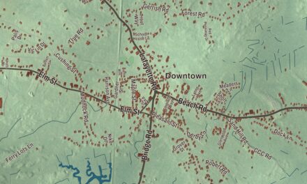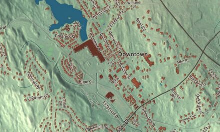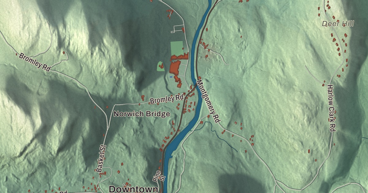
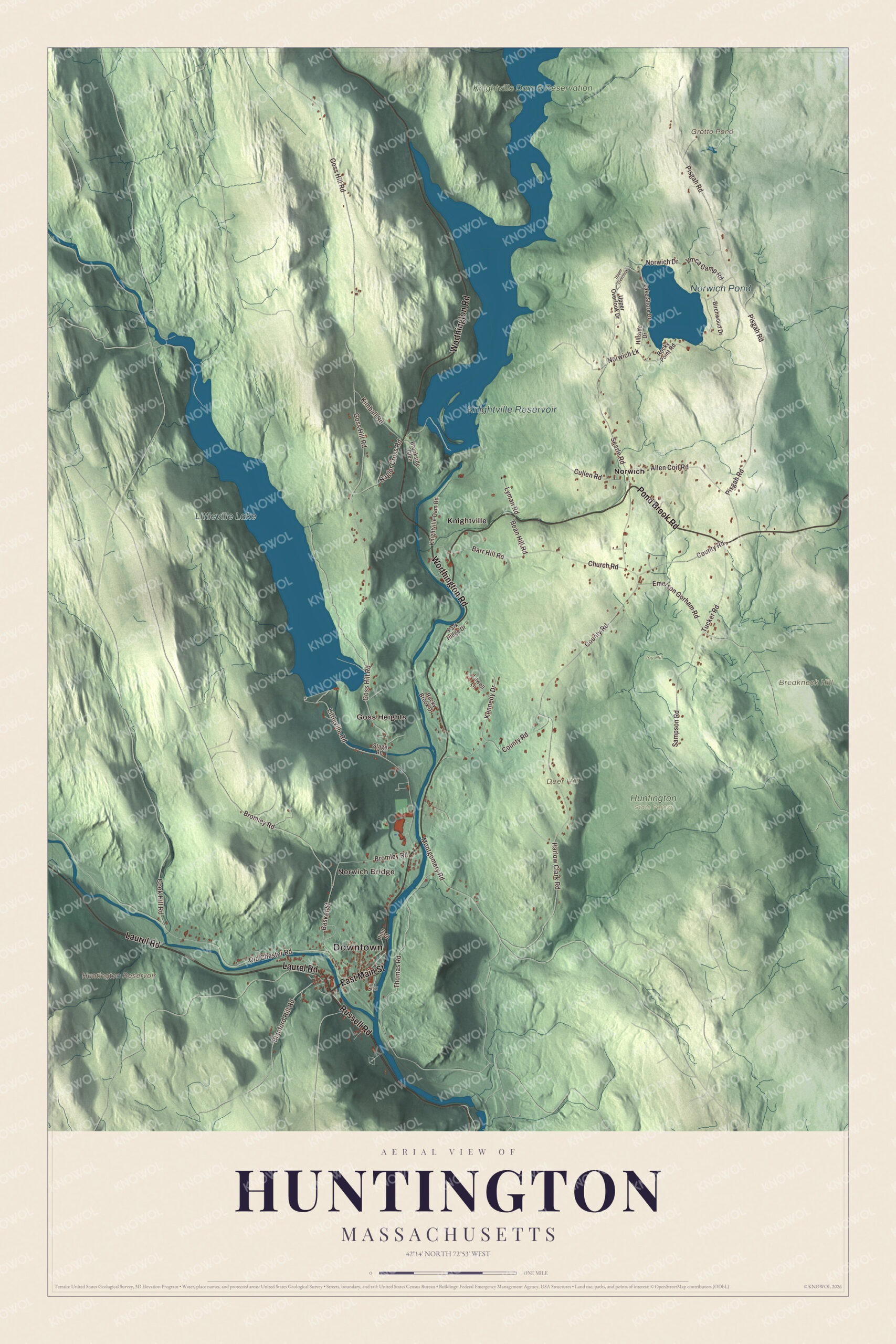
Three branches of the Westfield River come together in Huntington. This map prints Russell Road, Worthington Road, East Main Street, Laurel Road, Pond Brook Road and Blanford Hill Road, with Littleville Lake, Norwich Pond, Grotto Pond, Breakneck Hill and Deer Hill. Click here to purchase a print of this map for your wall.
Huntington is in Hampshire County.
KNOWOL made this map in 2026 from public survey data and gave it the look of an old atlas. The relief comes from United States Geological Survey elevation data, and the roads and the town line come from the Census Bureau. Huntington covers 26.8 square miles in the southwest corner of Hampshire County, bordered to the south and west by towns in Hampden County. U.S. Route 20 follows the river through town, 12 miles from the city of Westfield to the southeast and 23 miles from Lee to the northwest. The town had 2,094 people at the 2020 census.
From Norwich to Huntington
The Town of Huntington’s recorded history, in the Secretary of the Commonwealth’s list, dates European settlement to 1769, and Huntington was incorporated as a town in 1775. The town’s own page gives other dates. It says the first European settlers came in 1760, mostly from Norwich, Connecticut, to log the timber, and lived as subsistence farmers who also fished and tapped maple trees. In 1762 most of today’s Huntington and Chester was sold at auction as Plantation Number 9, and the new owners let the 19 settlers stay if they built houses, cleared land and hired a Protestant minister. On June 29, 1773, the eastern part of Murrayfield, later Chester, was split off as the district of Norwich, which became a full town in 1786.
Just before 1800 a tavern and store opened where Norwich, Blandford and Chester met, on the stagecoach line between Boston, Springfield and Albany, and the crossroads took the name “Falley’s X Roads.” The Western Railroad came through in 1841, drawing settlers and manufacturing to its stop, called Chester Village. Town lines there split streets and even some houses, which made trouble for carrying children to school and for law enforcement. In 1853 nearby parts of Blandford and Chester were annexed to Norwich. In 1855 the General Court renamed the town Huntington for Charles P. Huntington of Northampton, who had helped secure the annexation, and he gave $100 to start a library. Chester Village became “the village” of Huntington. The town remains part of Hampshire County today.
A river town
The Westfield River’s North Branch and Middle Branch merge near Goss Heights, and two miles south they meet the West Branch at Huntington village to form the main river, which flows on through Russell and Westfield to the Connecticut. The West Branch is a National Wild and Scenic river. Every April the Westfield River Whitewater Races run on the river in Huntington, and the river’s page calls them the oldest continuously run whitewater race in the United States. C. M. Gardner State Park, along the east branch, was given to the state in 1959 in memory of Charles M. Gardner, a local farmer, writer and National Grange leader. In the 20th century, the Springfield Street Railway reached town in 1905, U.S. Route 20 was built through in 1920, and the Huntington Textile Company supplied cloth to the military through both World Wars before it closed in 1952.
Click to explore a larger preview. The digital watermark does not appear on printed maps.
Names on this map
These names are printed on this map.
Places: Downtown, Norwich Bridge, Breakneck Hill, Deer Hill, Grotto Pond, Huntington Reservoir, Littleville Lake, Norwich Pond, Knightville Reservoir, Huntington State Forest, Joy Hill, Knightville Dam & Reservation, Goss Heights, Knightville and Norwich.
Streets and roads: Laurel Road, Russell Road, Worthington Road, Pond Brook Road, East Main Street, Blanford Hill Road, Barr Hill Road, Bean Hill Road, Tucker Road, Littleville Road, Goss Hill Road, Pisgah Road.
More street names, A to Z
Allen Coit Road, Basket Street, Birchwood Drive, Bromley Road, Brookside Glen, Church Road, Cook Hill Road, County Road, Cullen Road, Emerson Gorham Road, Harlow Clark Road, Hillside Drive, Kennedy Drive, Kimball Road, Knightville Dam Road, Lake Shore Drive, Lowell Lane, Lyman Road, Mill Street, Montgomery Road, Nagler Cross Road, Norwich Drive, Norwich Lk, Old Chester Road, Park Ridge Drive, Pine Street, Rocky Brook Drive, Rocky Point Road, Sampson Road, Searle Road, Stage Road, Thomas Road, Upper Overlook, Upper Overlook Drive, Ymca Camp Road.
See it on a wall
The Huntington map as a framed print. Swipe for more.


Around the map
Start with Norwich Bridge, then follow Laurel Road, Russell Road, Worthington Road, Pond Brook Road, East Main Street and Blanford Hill Road across town. Look outward toward Goss Heights, Knightville and Norwich. Norwich and Norwich Bridge are villages in the center of town, and the town itself was called Norwich until 1855. Knightville was a village in the north of town; it and Indian Hollow were removed when the Army Corps of Engineers built the Knightville Dam, from 1939 to 1941, for flood control after the 1936 flood. Grotto Pond, the Huntington Reservoir, Littleville Lake, Norwich Pond, Breakneck Hill and Deer Hill are all printed on the map, and every one of those names is right there on the artwork. Littleville Lake, made when the Middle Branch was dammed for flood control, lies mostly in Chester and partly in Huntington.
The Huntington map makes a fine addition to an office, library or den, and it can help teach children the geography and history of a hill town where three rivers meet. It’s made for people who call Huntington home, from Norwich to Goss Heights, and it shows the town as it looks today. Zoom in on the preview above to explore the details, then click here to get your copy of the Huntington, Massachusetts map.

Sources