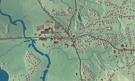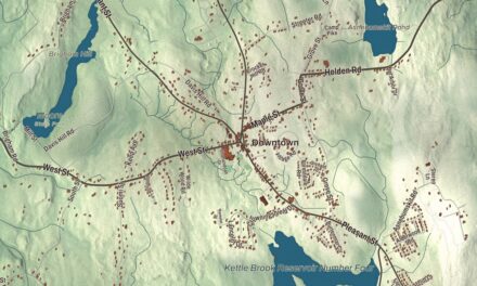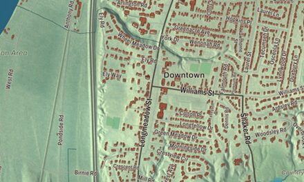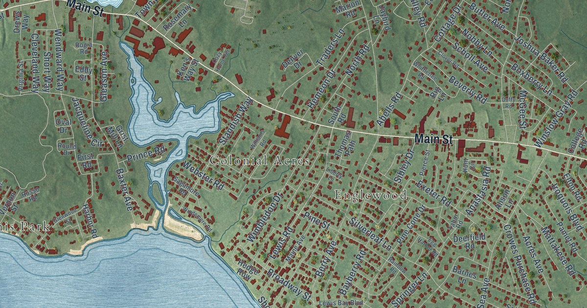
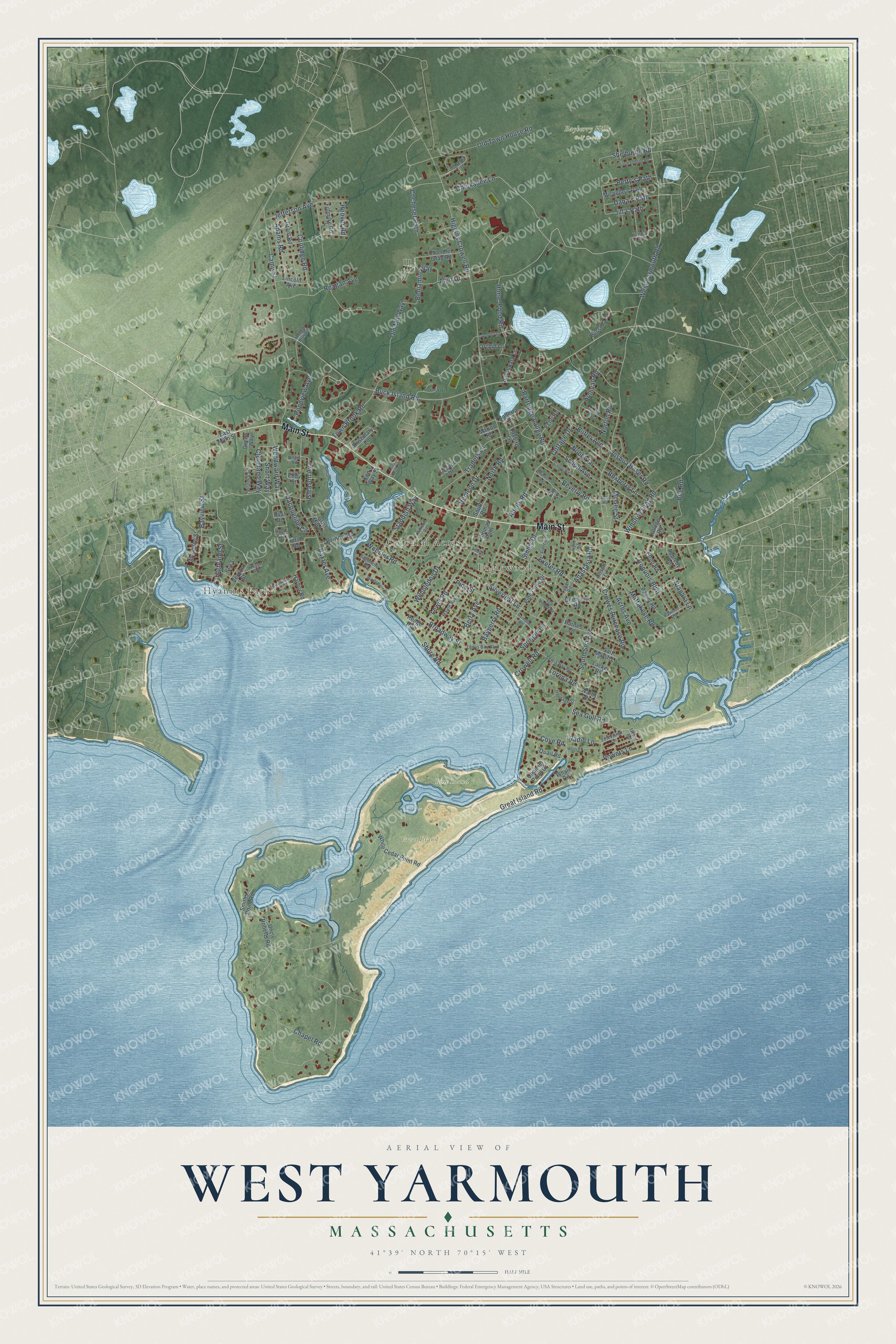
This beautifully detailed map of West Yarmouth, Massachusetts was created in 2026 using aerial imagery combined with modern topographical, census, street and landmark data. It's a modern aerial view of West Yarmouth in Barnstable County, Massachusetts, that combines modern data with a vintage aesthetic. The roads feature printed names, and if you look closely you can find your exact house accurately shown in its correct location.
Explore an aerial view of West Yarmouth, Massachusetts
On this map you'll find Hyannis Park, Colonial Acres, Englewood, Bayberry Hills Golf Course, Great Island, Pine Island, Main Street, Broadway Street, Buck Island Road, Lewis Road, Great Island Road, West Yarmouth Road, and more. Each red shape is a building, so zoom in on the preview and look for yours.
West Yarmouth is a community in Barnstable County. The Census Bureau counted 6,278 people here in 2020. The map prints the town name in its title panel, with the coordinates below it.
Take a closer look at the West Yarmouth map
Names on this map
These names are printed on this map.
Places: Hyannis Park, Colonial Acres, Englewood, Bayberry Hills Golf Course, Great Island and Pine Island.
Streets and roads: Main Street, Broadway Street, Buck Island Road, Lewis Road, Great Island Road, West Yarmouth Road, Higgins Crowell Road, South Sea Avenue, Camp Street, Town Brook Road, Baxter Avenue, Wendward Way.
More street names, A to Z
Abells Road, Acres Avenue, Adams Road, Alijo Drive, Alison Lane, Anastasia Road, Appleby Road, Arlington Street, Barnboard Lane, Barnes Lane, Bayberry Road, Bayview Street, Benjamin Way, Bennett Avenue, Berry Avenue, Betty's Path, Beverly Road, Bog Road, Boxberry Lane, Butler Avenue, Chandler Gray Road, Channel Point Drive, Chapel Road, Chickadee Lane, Cleveland Way, Clover Road, Cocheset Path, College Road, Coolidge Road, Cottage Drive, Cove Road, Cozy Home Terrace, Crowell Road, Crowes Purchase Road, Dana's Path, Deerfield Road, Denver Drive, Drews Way, Duffy Road, East Main Street, Echo Road, Eddy Street, Egg Harbor Road, Elton Road, Exeter Road, Fillmore Road, First Road, Gleason Avenue, Glenwood Street, Grant Road, Greyhampton Road, Grist Mill Lane, Harbor Road, Hawes Run Road, Hedge Row, Hemeon Drive, Heritage Drive, Highland Street, Hoover Road, Horse Pond Road, Hunt Circle, Iroquois Boulevard, Island Road, Jacqueline Circle, Jaybird Lane, Jefferson Avenue, Jill's Path, Joshua Baker Road, Kaycee's Way, Ken's Way Street, Lacker Road, Lavender Lane, Lewis Bay Boulevard, Lewis Bay Road, Liberty Lane, Lincoln Avenue, Lorena Road, Lumberjack Trail, Maine Avenue, Marion Road, Mattakese Road, McGee Street, Michelle's Path, Moss Road, Niagara Lane, Nobby Lane, North Road, Norton Road, Old Mill Way, Old Town House Road, Orchid Lane, Oval Drive, Pamet Road, Park Street, Partridge Valley Road, Pawnee Road, Pierce Street, Pine Cone Drive, Pine Street, Pondview Avenue, Powers Lane, Prince Road, Quail Road, Radio Lane, Rainbow Road, Reagan Avenue, Rig Lane, Roberta Drive, Rogia Road, Rosemary Lane, Round Drive, Russell Lane, Russo Road, Sagamore Road, Salt Marsh Lane, Scholl Avenue, Sea Gull Road, Shelburne Road, Shore Road, Short Way, Sibley Drive, Silverleaf Lane, Smiths Point Road, South Road, Springer Lane, Standish Way, Sullivan Road, Tabor Road, Television Lane, Thomas Path, Traders Lane, Uncle Roberts Road, Vernon Street, Virginia Street, Wallis Drive, Webster Road, Whale Road, Whiffletree Road, White Cedar Point Road, Williams Road, Wimbledon Drive, Windemere Road, Winslow Gray Road.
See it on a wall
The West Yarmouth map as a framed print. Swipe for more.


Created by KNOWOL in 2026. The buildings are small red shapes, the roads carry their printed names, and shaded relief shows the shape of the land. The title panel reads "AERIAL VIEW OF WEST YARMOUTH, MASSACHUSETTS" with 41°39' NORTH 70°15' WEST.
It suits a den, a classroom or a front hall, and it makes a gift for anyone with West Yarmouth roots. Open the preview and find the block you know. See sizes and frames for the West Yarmouth map.