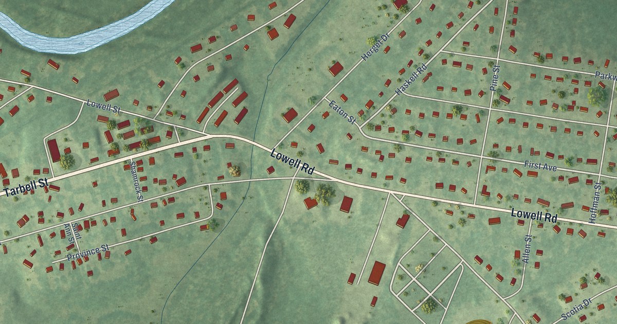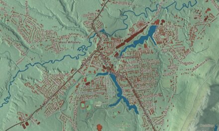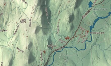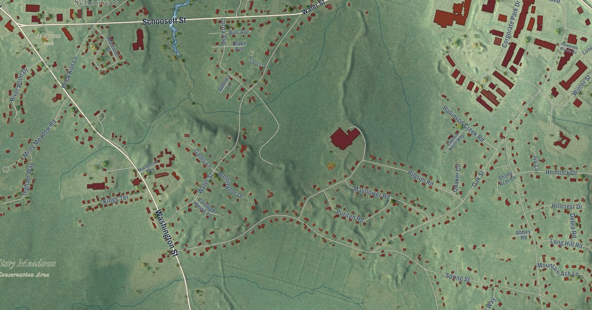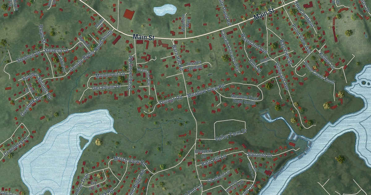
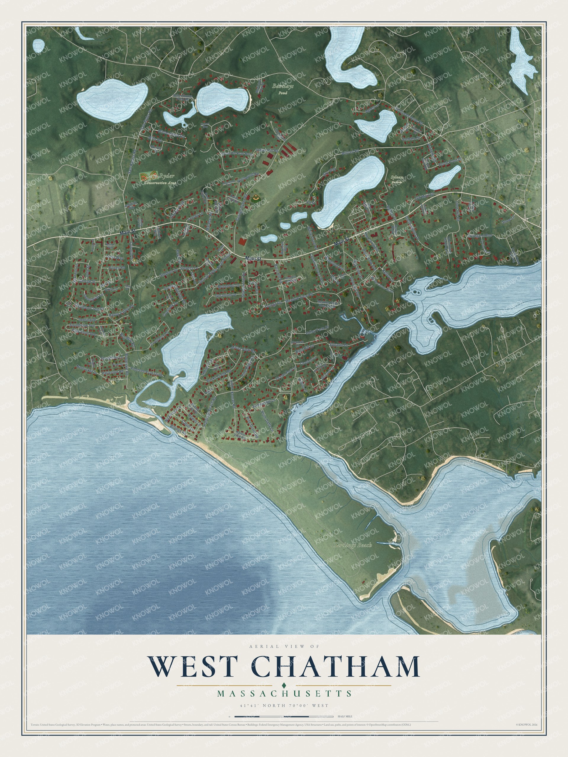
This beautifully detailed map of West Chatham, Massachusetts was created in 2026 using aerial imagery combined with modern topographical, census, street and landmark data. It's a modern aerial view of West Chatham in Barnstable County, Massachusetts, that combines modern data with a vintage aesthetic. The roads feature printed names, and if you look closely you can find your exact house accurately shown in its correct location.
Explore an aerial view of West Chatham, Massachusetts
On this map you'll find Barclays Pond, Hardings Beach, Sam Ryder Conservation Area, Sylvan Gardens, Main Street, Winter Home Road, Wilfred Road, Jericho Lane, Nickerson Lane, Billings Road, Youngs Road, Chatham Crest Drive, and more. Each red shape is a building, so zoom in on the preview and look for yours.
West Chatham is a community in Barnstable County. The Census Bureau counted 1,619 people here in 2020. The map prints the town name in its title panel, with the coordinates below it.
Take a closer look at the West Chatham map
Names on this map
These names are printed on this map.
Places: Barclays Pond, Hardings Beach, Sam Ryder Conservation Area and Sylvan Gardens.
Streets and roads: Main Street, Winter Home Road, Wilfred Road, Jericho Lane, Nickerson Lane, Billings Road, Youngs Road, Chatham Crest Drive, Kelley Lane, Kemah Road, Old Queen Anne Road, George Ryder Road.
More street names, A to Z
Absegami Run, Agnes Lane, Aunt Nabby's Lane, Aunt Zilpas Road, Baileys Path, Balfour Lane, Barbara Drive, Barn Hill Lane, Barn Hill Road, Bay View Street, Bog Way Road, Bucks Creek Road, Buena Vista Road, Cabot Lane, Captain Richards Way, Carolyn Drive, Chatfield Lane, Chatham Heights Road, Christopher Harding Lane, Colonial Drive, Cory Lane, Cranberry Lane, Crest Circle, Crosby Lane, Deering Drive, Dew Drive, Diane Drive, Eddie Lane, Edgewood Road, Eileen Road, Eleazers Lane, Ellis Street, Ell Street, Ethelma Drive, Evergreen Lane, George Ryder Road South, George Street, Geranium Drive, Happy Valley Road, Harbor View Road, Hardings Beach Road, Harold Lane, Hilltop Lane, Hilltop Road, Howes Lane, Indian Hill Road, Indian Hill Road North, Indian Trail, Ivy Hill Lane, Jeanette Road, Jedidiah Way, Jessies Landing, John Gilpin Lane, John Street, Joshua's Way, Katie Ford Road, Lime Hill Road, Linden Tree Lane, Malabar Road, Market Place, Marsh View Road, Mary Street, Meadow View Road, Meadow View Road South, Medicine Bow Street, Mills Road, Monomoit Lane, Nantucket Drive, Nellie's Way, Northwood Road, Ocean Port Lane, Old Main Street, Overlook Drive, Oyster Bluff, Oyster Pond, Oyster Pond Furlong, Patterson Road, Perch Pond Drive, Perch Pond Road, Pine Drive, Pine Grove Road, Pine Knoll Avenue, Pine Ridge Road, Plum Daffy Lane, Pond View Avenue, Ralph Street, Ridgevale Road, Ridgevale Road South, Ryders Way, Sam Ryder Road, Sam Ryders Road, Schoolhouse Pond Road, Seaquanset Road, Seastrand Way, Shady Acre Drive, Shannon Lane, Sky Way, Smith Street, Snow Lane, Soundview Avenue, Squanto Drive, Stephen Drive, Stevens Drive, Stoughton Lane, Sulphur Springs Road, Summerhill Lane, Sweetbriar Lane, Tappan Drive, Tern Lane, The Cornfield, Thompsons Trail, Toms Way, Uncle Abners Path, Uncle Alberts Drive, Uncle Zlotis Road, Valley Farm Drive, Vineyard Avenue, Warren Street, Waveland Avenue, Whelden Way, White Pond Road, Whitman Avenue, Wood Carver Knoll, Woodpecker Valley Road.
See it on a wall
The West Chatham map as a framed print. Swipe for more.


Created by KNOWOL in 2026. The buildings are small red shapes, the roads carry their printed names, and shaded relief shows the shape of the land. The title panel reads "AERIAL VIEW OF WEST CHATHAM, MASSACHUSETTS" with 41°41' NORTH 70°00' WEST.
Hang it in the hallway, the office or the cabin, or give it to someone who left West Chatham and still calls it home. Open the preview and look for a street you know. See sizes and frames for the West Chatham map.