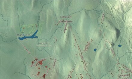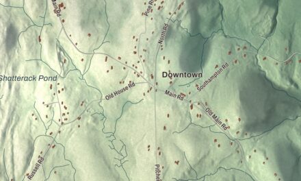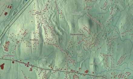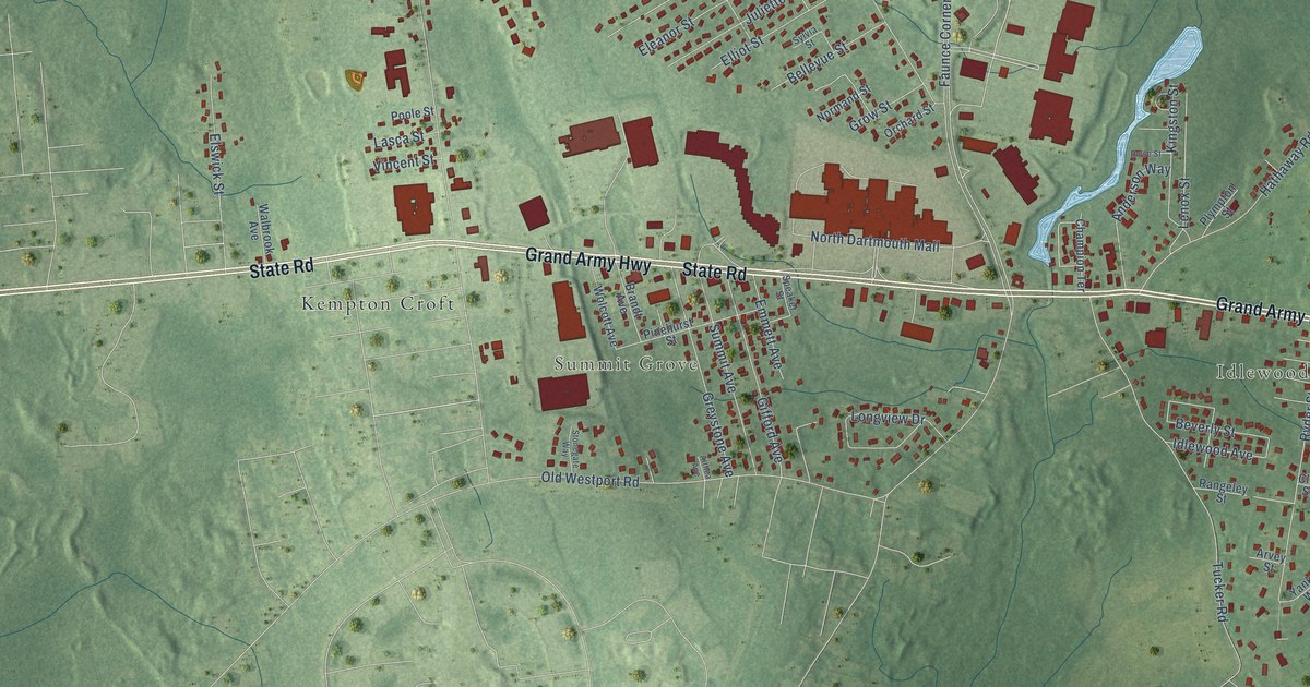
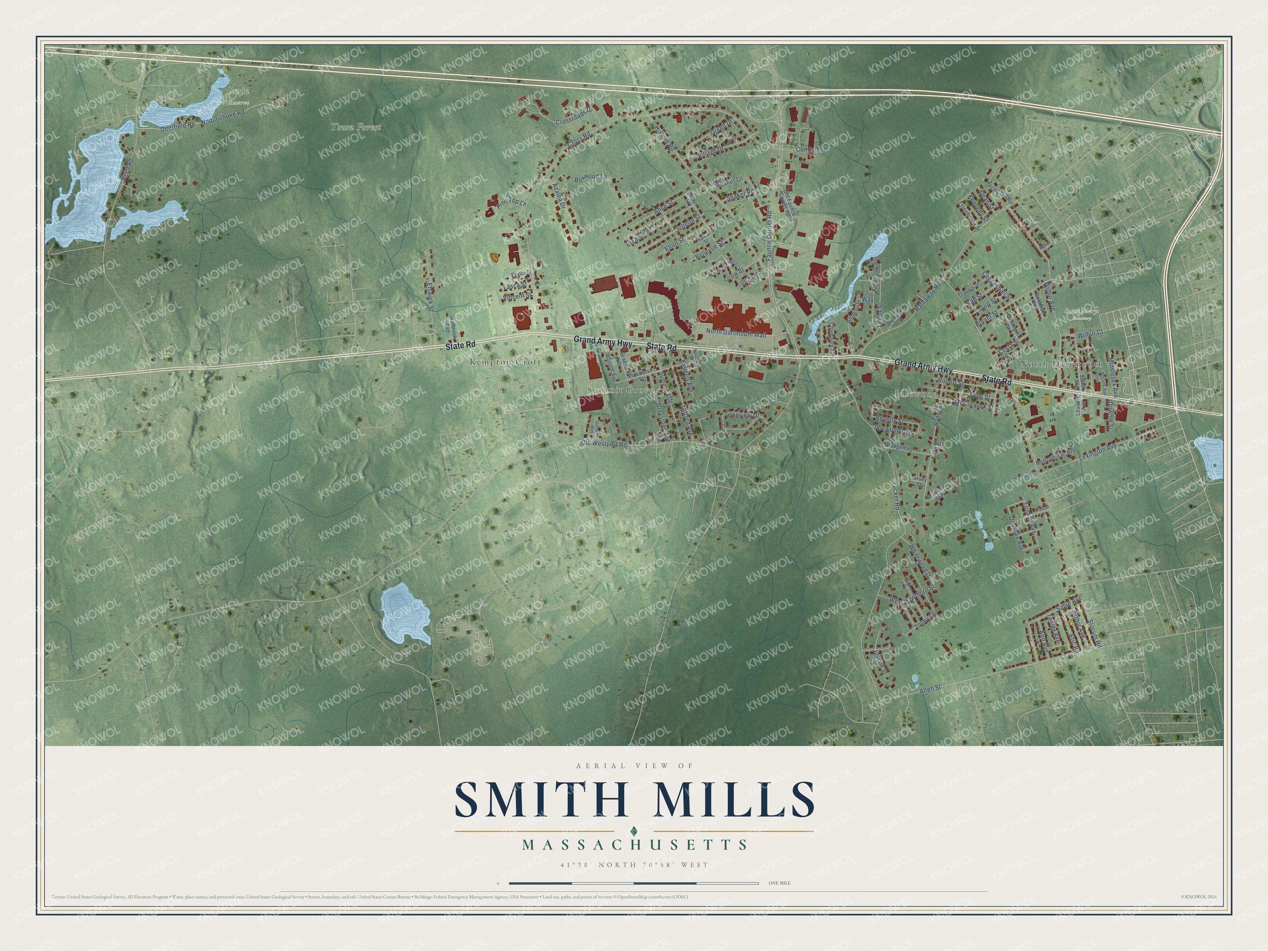
This beautifully detailed map of Smith Mills, Massachusetts was created in 2026 using aerial imagery combined with modern topographical, census, street and landmark data. It's a modern aerial view of Smith Mills in Bristol County, Massachusetts, that combines modern data with a vintage aesthetic. The roads feature printed names, and if you look closely you can find your exact house accurately shown in its correct location.
Explore an aerial view of Smith Mills, Massachusetts
On this map you'll find Summit Grove, Idlewood, Irvin Reserve, Saint Marys Cemetery, Town Forest, Kempton Croft, North Dartmouth, Grand Army Highway, State Road, Boxwood Lane, Doolittle Avenue, Tobey Lane, and more. Each red shape is a building, so zoom in on the preview and look for yours.
Smith Mills is a community in Bristol County. The Census Bureau counted 4,832 people here in 2020. The map prints the town name in its title panel, with the coordinates below it.
Take a closer look at the Smith Mills map
Names on this map
These names are printed on this map.
Places: Summit Grove, Idlewood, Irvin Reserve, Saint Marys Cemetery, Town Forest, Kempton Croft and North Dartmouth.
Streets and roads: Grand Army Highway, State Road, Boxwood Lane, Doolittle Avenue, Tobey Lane, Cross Road, Faunce Corner Road, Slocum Road, Tucker Road, Old Westport Road, Allen Street, Hathaway Road.
More street names, A to Z
Alice Street, Althea Avenue, Anderson Way, Ann Avenue, Arthur Avenue, Arvey Street, Azalea Drive, Ball Street, Bellevue Street, Beverly Street, Brandt Avenue, Brown Street, Bryant Street, Carnegie Street, Champion Terrace, Cliff Street, Coggeshall Street, Comfort Lane, Costa Street, Crossroads Drive, Dean Street, Deerfield Road, Downie Street, Eisenhower Street, Eleanor Street, Elliot Street, Elswick Street, Emmett Avenue, Eric Road, Gifford Avenue, Goldman Avenue, Golf Street, Green Drive, Greystone Avenue, Grow Street, Hallet Lane, Hixville Road, Idlewood Avenue, Johnson Street, Joseph Street, Juliette Street, Kennedy Street, Kingston Street, Lasca Street, Lenox Street, Leonard Avenue, Lexington Avenue, Longview Drive, Lyng Street, Manchester Lane, McCormick Street, Metropolitan Avenue, Middlesex Avenue, Mosher Lane, Noquochoke Road, Norfolk Avenue, Normand Street, North Dartmouth Mall, Old Faunce Corner Road, Orchard Street, Patton Street, Pinehurst Street, Pine Top Lane, Plympton Street, Poole Street, Rangeley Street, Reed Road, Robert Street, Rowe Street, Ryder Street, Sable Avenue, Shaker Road, Skyline Drive, Speaker Street, Spring Hill Road, Spring Lane, Stonegate Way, Suffolk Avenue, Summit Avenue, Sylvia Street, Tenley Avenue, Travers Street, Truman Avenue, Village Drive, Vincent Street, Walbrook Avenue, West Hawthorn Street, Whiteweed Drive, Wilbur Avenue, Wilbur Court, Wolcott Avenue, Yankee Way.
See it on a wall
The Smith Mills map as a framed print. Swipe for more.


Created by KNOWOL in 2026. The buildings are small red shapes, the roads carry their printed names, and shaded relief shows the shape of the land. The title panel reads "AERIAL VIEW OF SMITH MILLS, MASSACHUSETTS" with 41°38' NORTH 70°58' WEST.
It looks right in a kitchen, an office or a den, and it's a gift for anyone who grew up in Smith Mills or moved away. Open the preview and find your street. See sizes and frames for the Smith Mills map.