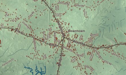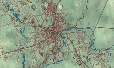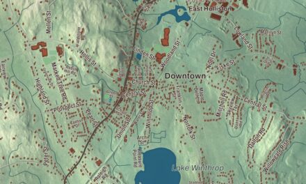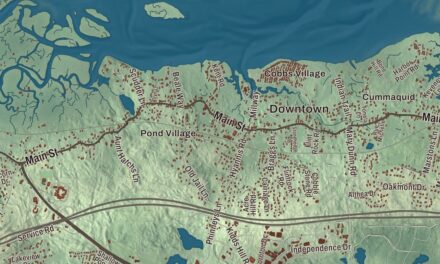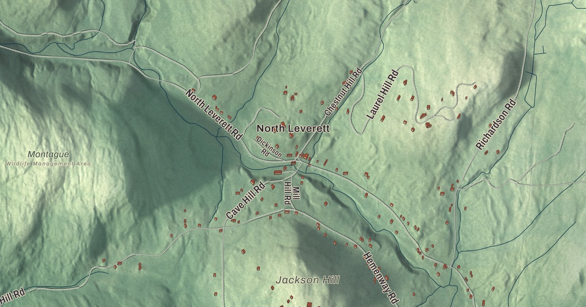
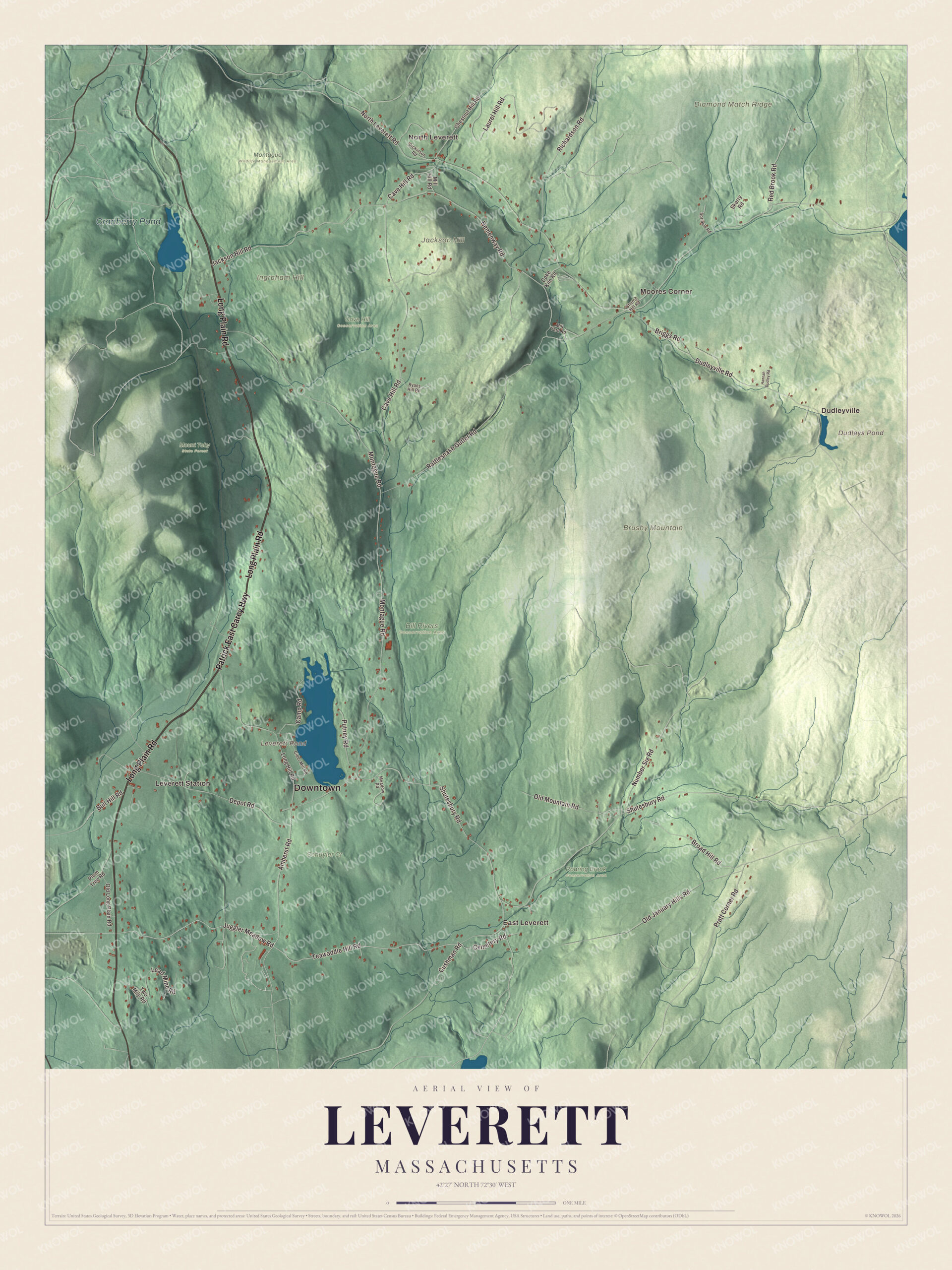
Leverett is a hill town of four small villages, Leverett Center, East Leverett, North Leverett and Moores Corner, just east of the Connecticut River. This map prints Long Plain Road, Amherst Road, Cemetery Road, Juggler Meadow Road, Teawaddle Hill Road and the Patrick East Carey Highway, with Leverett Pond, Dudleys Pond, Brushy Mountain and Diamond Match Ridge. Click here to purchase a print of this map for your wall.
Leverett is in Franklin County.
KNOWOL made this map in 2026 from public survey data and gave it the look of a vintage atlas. The hills come from United States Geological Survey elevation data, and the Census Bureau supplied the roads and the town line. Leverett covers 23.0 square miles at the southern edge of Franklin County, with Montague to the north, Wendell and Shutesbury to the east, Amherst to the south and Sunderland to the west, and it had 1,865 people at the 2020 census. The southwest corner is fairly flat plain, and the rest is hill country. Brushy Mountain, at 1,260 feet, is the tallest of the hills, and Leverett Pond, near the center of town, is its largest body of water. Its brooks all head toward the Connecticut River.
Out of Swampfield
Leverett began as part of Sunderland, which was called Swampfield at the time. The Town of Leverett’s recorded history, in the Secretary of the Commonwealth’s list, dates European settlement to 1713, while the town page puts the first settlement in 1750. In 1774 the settlers petitioned Sunderland to become a town of their own, and Leverett was incorporated as a town that year. It was named for John Leverett, the twentieth governor of the Massachusetts Bay Colony. The town remains part of Franklin County today.
Moores Corner, in the northeast, grew up as a small mill village on the Sawmill River. Its oldest house, at 197 North Leverett Road, is the home of Asa Moore from about 1790, and a mill his brother Alven built in 1793 still stands. The village put up a brick schoolhouse at 230 North Leverett Road in 1810 that also served the local Universalist congregation, and most of its houses date from its busy years between the 1840s and 1860s. The Moore’s Corner Historic District joined the National Register in 2014, and its Queen Anne style church of 1896 is one of two historic Evangelical churches in Leverett, along with North Leverett Baptist. The town page says Moore’s Corner Church was founded by a protege of the evangelist Dwight L. Moody.
The painter and the pagoda
Erastus Salisbury Field was born in Leverett on May 19, 1805, with a twin sister, Salome. At nineteen he studied for a few months in the New York studio of Samuel F. B. Morse, then came home to Leverett in 1825 and made his living as a traveling portrait painter in western Massachusetts and the Connecticut Valley, known for catching “a good likeness” in a single sitting. More than 300 of his works survive, and his large canvas, the Historical Monument of the American Republic, took him from 1867 to at least 1888.
Leverett is home to the New England Peace Pagoda, built by the Buddhist order Nipponzan-Myohoji and completed in the mid-1980s. Its page calls it the order’s first peace pagoda in the United States. The pagoda has a 100-foot dome and statues of the Buddha carved by Sri Lankan artisans, with a reflecting pool and rock garden, and a new temple opened on the site in 2011. Nearer the middle of town, Rattlesnake Gutter is a boulder-filled chasm three quarters of a mile long, and no one is sure how it formed, whether by glacial meltwater, an old fault or the spillway of a lake that came and went.
Click to explore a larger preview. The digital watermark does not appear on printed maps.
Names on this map
These names are printed on this map.
Places: Downtown, North Leverett, Leverett Station, East Leverett, Dudleyville, Moores Corner, Brushy Mountain, Diamond Match Ridge, Ingraham Hill, Jackson Hill, Dudleys Pond, Leverett Pond, Cranberry Pond, Bill Rivers Conservation Area, Cave Hill Conservation Area, Montague Wildlife Management Area, Mount Toby State Forest, Roaring Brook Conservation Area and Schuyler Cr.
Streets and roads: Long Plain Road, Patrick East Carey Highway, Teawaddle Hill Road, Juggler Meadow Road, Cemetery Road, Amherst Road, Bull Hill Road, Shutesbury Road, North Leverett Road, Montague Road, Cave Hill Road, Rattlesnake Gutter Road.
More street names, A to Z
Briggs Road, Broad Hill Road, Camp Road, Chestnut Hill Road, Church Hill Road, Cider Mill Road, Coke Kiln Road, Cushman Road, Depot Road, Dickinson Road, Dudleyville Road, Hannah Dudley Road, Hemenway Road, Jackson Hill Road, Laurel Hill Road, Lead Mine Road, Long Hill Road, Meadow Road, Mill Hill Road, Mill Yard Road, Number Six Road, Old January Hills Road, Old Long Plain Road, Old Mountain Road, Plum Tree Road, Pratt Corner Road, Putney Road, Red Brook Road, Richardson Road, Ryans Hill Road, Skerry Road, Sprinkle Road, Two Mile Road.
Around the map
Start with North Leverett, which begins where Montague Road meets Cave Hill Road and runs to the Montague and Wendell lines. Follow Long Plain Road, the Patrick East Carey Highway, Teawaddle Hill Road, Juggler Meadow Road, Cemetery Road and Amherst Road across town. Then look outward toward Leverett Station, East Leverett, Dudleyville and Moores Corner. Dudleys Pond, Leverett Pond, Cranberry Pond, Brushy Mountain, Diamond Match Ridge, Teawaddle Hill, Juggler Meadow and Ingraham Hill are all printed on the map too. The Mount Toby hills, which Leverett shares with Sunderland, are known for their glacial kettle ponds, Cranberry Pond above all, and the fire tower on Mount Toby looks east toward the Peace Pagoda.
The Leverett map makes a fine addition to an office, library or den, and it can help teach children the geography and history of a quiet Franklin County hill town. It’s made for people who call Leverett home, from Moores Corner to Leverett Station, and it shows the town as it looks today. Zoom in on the preview above to explore the details, then click here to get your copy of the Leverett, Massachusetts map.

We made a map for every town and city in Massachusetts. Explore the complete Massachusetts map collection and find your town.
Sources
- Leverett, Massachusetts, Wikipedia
- Moore’s Corner Historic District, Wikipedia
- Erastus Salisbury Field, Wikipedia
- New England Peace Pagoda, Wikipedia
- Rattlesnake Gutter, Wikipedia
- Mount Toby, Wikipedia
- City and Town Incorporation and Settlement Dates, Secretary of the Commonwealth of Massachusetts (archived copy)