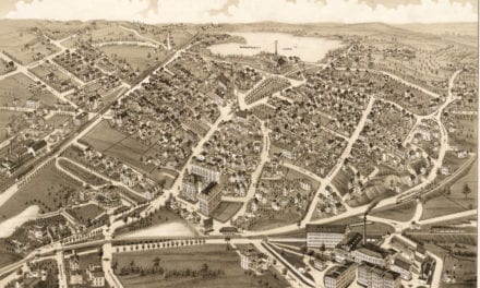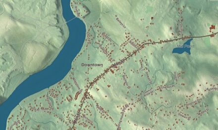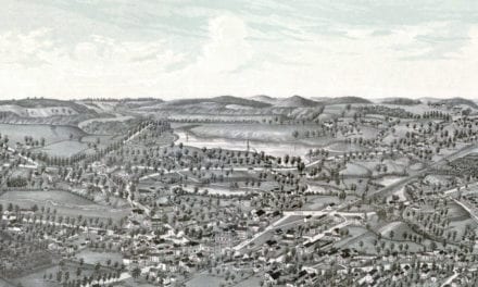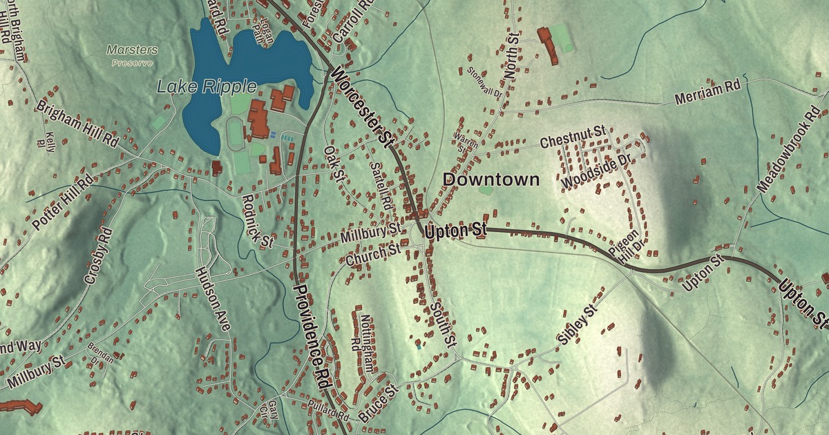
Grafton has a Nipmuc reservation, a clockmakers’ farm, a classic New England common and mill villages along the Blackstone River. This map prints Worcester Street, Upton Street, Shrewsbury Street, Westboro Road, Waterville Street and Providence Road, with Lake Ripple, Flint Pond, the Blackstone River Reservoir, Brigham Hill, George Hill and Keith Hill. Click here to purchase a print of this map for your wall.
Grafton is in Worcester County.
KNOWOL made this map in 2026 from public survey data and gave it the look of an old atlas. The relief comes from United States Geological Survey elevation data, and the streets and the town line come from the Census Bureau. Grafton covers 23.3 square miles, about 40 miles west of Boston and 5 miles southeast of Worcester. The town is made up of North Grafton, Grafton and South Grafton, each with its own ZIP Code, and it takes in old mill villages such as Farnumsville, Fisherville, Saundersville and Axtell Corner. It had 19,664 people at the 2020 census.
Hassanamesit
The Nipmuc were here first, and they still are. In 1647 the Reverend John Eliot made Hassanamesit one of his “praying towns,” and in 1727 the land was divided, with 7,500 acres going to 40 English proprietors and 500 acres to seven Nipmuc proprietors. That same year a Nipmuc woman, Sarah Robins, took possession of the land now called the Hassanamisco Reservation. The Hassanamisco Nipmuc Band, recognized by the state in 1976, owns 3.5 acres of reservation land in Grafton, and the reservation and the Cisco Homestead were placed on the National Register of Historic Places in 2011. Zara Cisco Brough, whose family traces back to a deacon of the Native church at Hassanamesit, led the Nipmuc from 1962 until 1987 and worked to keep their heritage alive. In 2004 the Trust for Public Land, the town, the Grafton Land Trust, the Nipmuc Nation and the state joined to protect 190 acres of the Hassanamessit Woods, thought to hold the meetinghouse and center of the old praying village.
The Town of Grafton’s recorded history, in the Secretary of the Commonwealth’s list, dates European settlement to 1718, and Grafton was incorporated as a town in 1735. It was named for Charles FitzRoy, 2nd Duke of Grafton. The town remains part of Worcester County today.
The common and the clockmakers
The common was laid out in 1728 and is fenced with granite posts and wooden rails put up in 1845. Around its oval stand the 1863 Unitarian Church, the 1833 Congregational Church and the 1805 Grafton Inn, and the Grafton Common Historic District joined the National Register in 1988. The town page calls it the most quintessential common in the Blackstone Valley. In the 1930s moviemakers filmed Ah, Wilderness! here and built a bandstand on the common, which has been torn down and rebuilt many times since.
In North Grafton, at 11 Willard Street, the Willard House and Clock Museum keeps the farm where the brothers Benjamin, Simon, Ephraim and Aaron Willard made clocks in the late 1700s, before moving the business to Roxbury. The house was built about 1718. Simon Willard was born on the farm in 1753, and while in Grafton he developed his first banjo clock, patented in 1802 as the Willard Patent Timepiece. Some of his clocks still carry the mark “Simon Willard, Grafton.”
Mills, forges and Tupperware
Grafton played its part in the industrial Blackstone Valley, and the town is part of the Blackstone River Valley National Heritage Corridor. North Grafton’s Upper Mill, built in 1826, is now the Washington Mills complex, which still makes abrasives. Farnumsville grew up around the Farnum Mill on the east bank of the Blackstone, and its surviving main mill dates to 1844. Ethan Allen, who started out making cutlery in Milford, moved his business to Grafton and ran a gun factory here in the 1830s. In 1955 the Air Force installed a 50,000-ton forge in North Grafton for its Heavy Press Program, in a plant run by Wyman-Gordon, and the town page says it was the largest machine in the world when it was built and that the Space Shuttles’ entire undercarriage was forged in Grafton. Earl Tupper started the Tupperware company in South Grafton in 1938. Other Grafton names include Hugh Bradley, who in 1912 hit the first home run at Fenway Park, and the Cummings School of Veterinary Medicine of Tufts University, which took over the old state hospital campus in North Grafton.
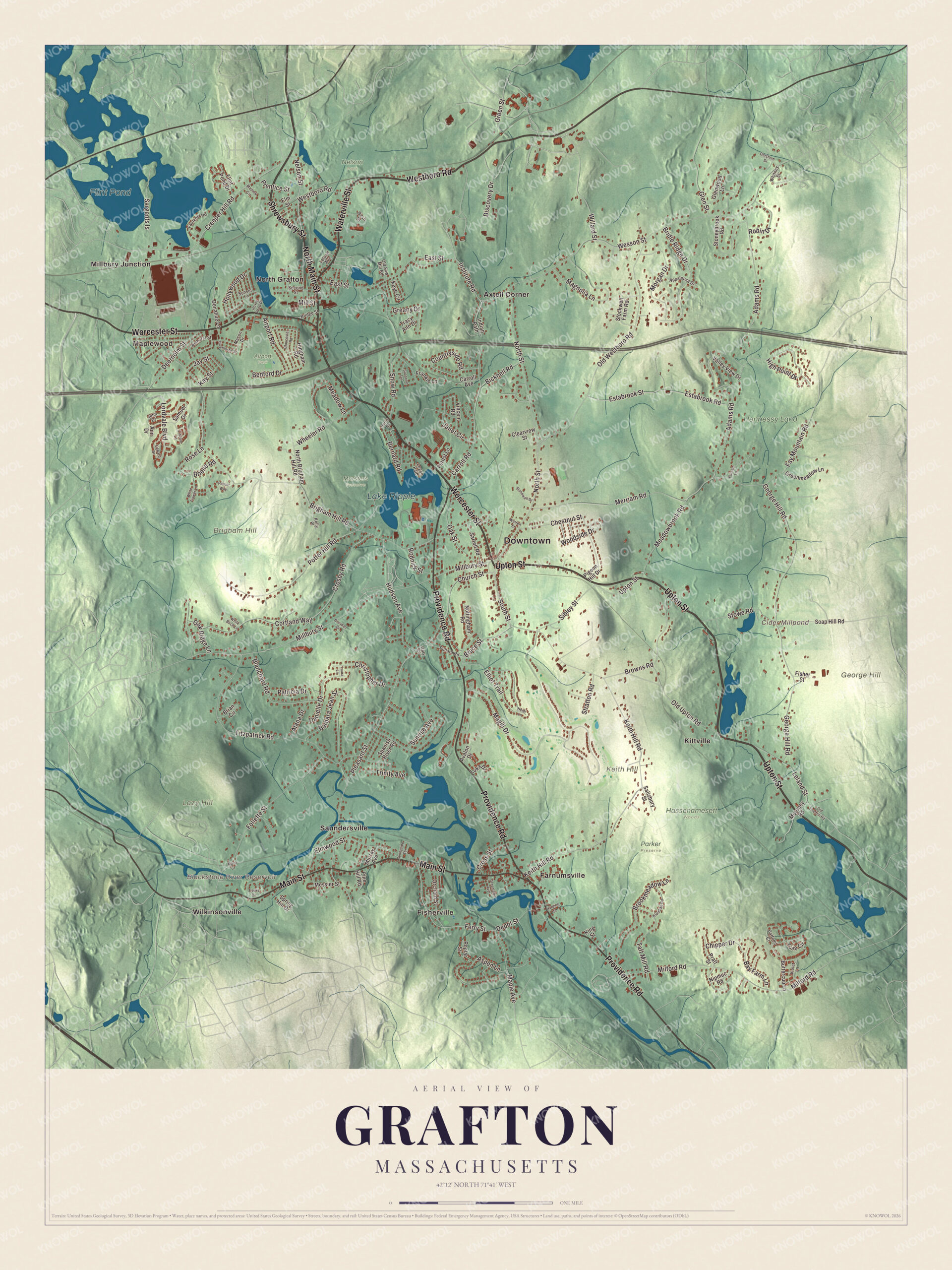
Click to explore a larger preview. The digital watermark does not appear on printed maps.
Names on this map
These names are printed on this map.
Places: Downtown, Maplewood, Fisherville, Brigham Hill, George Hill, Keith Hill, Lazy Hill, Blackstone River Reservoir, Cider Millpond, Flint Pond, Lake Ripple, Airport Park, Hassenamesett Woods, Hennessy Land, Marsters Preserve, Nelson Park, Parker Preserve, Axtell Corner, Farnumsville, Kittville, Millbury Junction, North Grafton, Saundersville and Wilkinsonville.
Streets and roads: Upton Street, Shrewsbury Street, Westboro Road, Worcester Street, Waterville Street, Providence Road, Main Street, North Main Street, Willard Street, Nelson Street, Magill Drive, Creeper Hill Road.
More street names, A to Z
Adams Road, Airport Road, Alana Drive, Amherst Street, Ann Drive, Appaloosa Drive, Aspen Lane, Avalon Drive, Barbara Jean Street, Bay Farm Lane, Bedford Drive, Bernard Road, Bicknell Road, Birch Street, Blanchard Road, Brendan Drive, Brian Circle, Bridge Street, Bridle Ridge Drive, Brielle Road, Brigham Hill Road, Brookmeadow Lane, Browns Road, Bruce Street, Buttercup Lane, Carroll Avenue, Carroll Road, Chestnut Street, Chipper Drive, Christopher Drive, Church Street, Clearview Street, Cortland Way, Countryside Road, Crosby Road, Cross Street, Daffodil Court, Danielle Drive, Deernolm Street, Depot Street, Discovery Drive, Donahue Lane, East Street, Edward Drive, Elliot Trail, Elm Street, Elmwood Street, Eseks Circle, Estabrook Road, Estabrook Street, Faulkner Road, Fay Mountain Road, Ferry Street, Fisher Street, Fitzpatrick Road, Flint Pond Drive, Follette Street, Forest Lane, Frankie Lane, Gary Circle, George Hill Road, Gershom Drive, Glen Street, Glenwood Lane, Gloucester Road, Greany Drive, Greenlawn Avenue, Greenmeadow Lane, Green Street, Harding Street, Harris Road, Hawthorne Street, Heidi Lane, High Point Drive, Hingham Road, Hollywood Drive, Hovey Pond Drive, Hudson Avenue, Indian Path, Institute Road, Janet Circle, Jay Street, John Drive, Kaye Circle, Kay Street, Keith Hill Road, Kelly Place, King Street, Klondike Road, Laura Lane, Leland Avenue, Leland Street, Lincoln Lane, Logan Path, Lordvale Boulevard, Luka Drive, Magnolia Lane, Maple Avenue, Mason Drive, Mathew Circle, Mayo Court, Meadowbrook Road, Meadow Lane, Merriam Road, Messier Street, Milford Road, Millbury Street, Mill Street, Morgan Drive, Moroney Road, Murray Avenue, Nipmuc Road, North Brigham Hill Road, North Street, Nottingham Road, Oak Ridge Lane, Oak Street, Old Grafton Road, Old Saw Mill Road, Old Upton Road, Old Westboro Road, Orchard Street, Patricia Drive, Patriot Way, Pigeon Hill Drive, Pine Hill Road, Pleasant Street, Poplar Street, Potter Hill Road, Pratt Street, Prentice Street, Pullard Road, Putnam Lane, Robin Drive, Rodnick Street, Rose Lane, Salisbury Street, Samuel Drive, Sargents Is, Sartell Road, Second Street, Sibley Street, Snow Road, Soap Hill Road, South Street, Spanish River Road, Spring Hill Drive, Stockwell Farm Road, Stonewall Drive, Stoneybrook Road, Stowe Road, Stratton Road, Sunnyside Terrace, Sunrise Avenue, Sunset Lane, Suzanne Terrace, Taft Mill Road, Tracy Ann Drive, Trinity Avenue, Tulip Circle, Valley View Drive, Vincent Road, Violet Lane, Warren Street, Wesson Street, Wheeler Road, White Birch Lane, White Flower Lane, Whitney Street, Woodside Drive.
See it on a wall
The Grafton map as a framed print. Swipe for more.


Around the map
Start with Maplewood, then follow Upton Street, Shrewsbury Street, Westboro Road, Worcester Street, Waterville Street and Providence Road across town. Look outward toward Fisherville, Axtell Corner, Farnumsville, Kittville and Millbury Junction. Flint Pond, Lake Ripple, Brigham Hill, George Hill, Keith Hill and the Blackstone River Reservoir are all printed on the map. Every one of those names is right there on the artwork.
The Grafton map makes a fine addition to an office, library or den, and it can help teach children the geography and history of a town with a Nipmuc reservation, the Willards’ clock farm and a classic common. It’s made for people who call Grafton home, from Maplewood to Farnumsville, and it shows the town as it looks today. Zoom in on the preview above to explore the details, then click here to get your copy of the Grafton, Massachusetts map.

Sources
- Grafton, Massachusetts, Wikipedia
- Hassanamisco Nipmuc, Wikipedia
- Zara Cisco Brough, Wikipedia
- Grafton Common Historic District, Wikipedia
- Willard House and Clock Museum, Wikipedia
- Simon Willard, Wikipedia
- Farnumsville Historic District, Wikipedia
- Ethan Allen (armsmaker), Wikipedia
- Earl Tupper, Wikipedia
- City and Town Incorporation and Settlement Dates, Secretary of the Commonwealth of Massachusetts (archived copy)