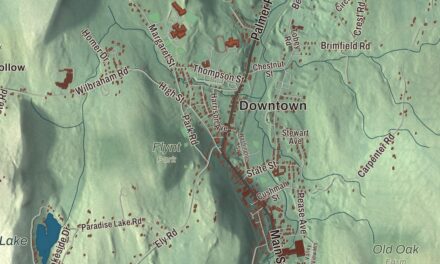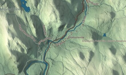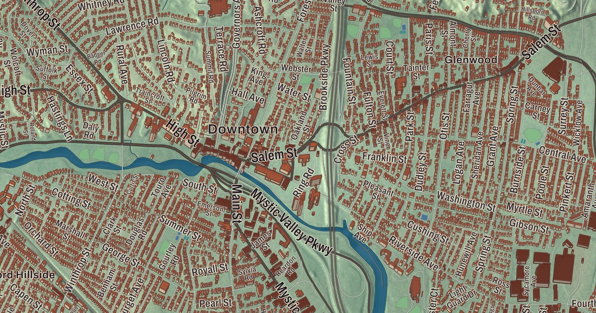
If you grew up in Medford, you know Medford Square, the Mystic River running through the middle of the city, and the bridge that carries Main Street over it. This map prints Main Street, High Street, Salem Street, Winthrop Street, Mystic Avenue and the Mystic Valley Parkway, with the Upper Mystic Lake, Spot Pond, Bellevue Pond and the Middlesex Fells Reservation. Click here to purchase a print of this map for your wall.
Medford is in Middlesex County.
KNOWOL made this map in 2026 from public survey data and gave it the look of an old atlas. The relief comes from United States Geological Survey elevation data, and the streets and the city line come from the Census Bureau. Medford covers 8.6 square miles, and the Mystic River flows roughly from west to southeast through the middle of the city. To the north, the city shares the Middlesex Fells Reservation with Winchester, Stoneham, Melrose and Malden. Medford is home to Tufts University, whose campus sits on both sides of the Somerville line, and the city had 59,659 people at the 2020 census.
Mistick and Meadford
This was the winter home of the Naumkeag people, who farmed corn and built fishing weirs along the Mystic River. Sagamore Park in West Medford is a Native burial site from the contact period, and in 1639 the colony bought the land of present West Medford from the Squaw Sachem of Mistick. The City of Medford’s recorded history, in the Secretary of the Commonwealth’s list, dates European settlement to 1630, when English colonists settled it as part of Charlestown, and Medford was incorporated as a town that same year. Thomas Dudley first called the settlement Mistick, after the river, and his party renamed it Meadford, perhaps for a “meadow by the ford.” In 1637 the first bridge across the Mystic, a toll bridge, went up where the Cradock Bridge now carries Main Street into Medford Square, and until 1787 it was the only bridge over the river. Medford was incorporated as a city in 1892, and the city remains part of Middlesex County today.
Ships, songs and a midnight ride
In 1803 Thatcher Magoun opened Medford’s first shipyard on the Mystic, on today’s Riverside Avenue, and the maritime historian Samuel Eliot Morison ranked his reputation “second to none among American shipbuilders.” Medford built clipper ships such as the White Swallow and the Kingfisher, and it also made bricks, tiles, crackers and rum. The houses of the Old Ship Street Historic District, mostly Federal and Greek Revival, went up in the shipyard’s first decades. Older still is the Peter Tufts House, thought to date from 1677 or 1678, with brick walls 18 inches thick and what its page calls one of the earliest known gambrel roofs.
Paul Revere’s midnight ride came along Main Street and onto High Street in Medford Square, and the city re-enacts it every year. On High Street, at Simpson’s Tavern, James Pierpont is rumored to have written “Jingle Bells” after watching a sleigh race from Medford to Malden, though there’s also a claim that he wrote it in Savannah, Georgia. Lydia Maria Child, the abolitionist and writer, turned her trip across town to her grandparents’ house into the poem “Over the River and Through the Wood”; Tufts restored that house in 1976, and it stands near the river on South Street. Grace Church on High Street, built from 1867 to 1869, is one of the architect H. H. Richardson’s earliest works. Medford was home to the cookbook author Fannie Farmer, and Amelia Earhart lived on Brooks Street in 1925. Medford High School’s Thanksgiving game with Malden dates to 1889, and Malden’s page calls it the second-oldest continuous high school football rivalry in the United States.
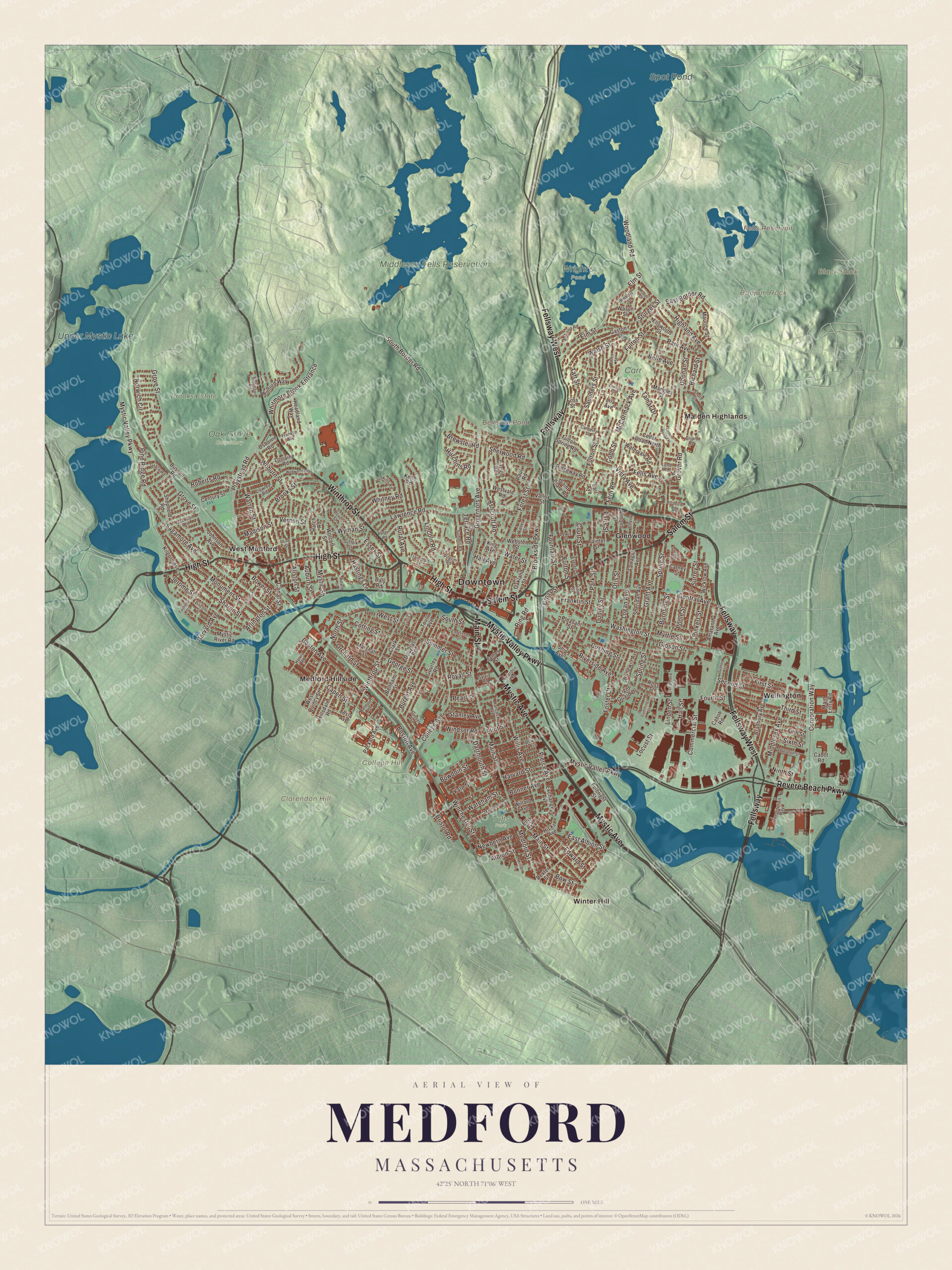
Click to explore a larger preview. The digital watermark does not appear on printed maps.
Names on this map
These names are printed on this map.
Places: Downtown, Black Rock, Boojum Rock, Clarendon Hill, College Hill, Bellevue Pond, Fells Reservoir, Spot Pond, Upper Mystic Lake, Brooks Estate, Middlesex Fells Reservation, Oak Grove Cemetery, Wright's Pond, Carr Park, Tufts Park, Glenwood, Malden Highlands, Medford Hillside, Wellington, West Medford and Winter Hill.
Streets and roads: Mystic Avenue, Winthrop Street, Main Street, Mystic Valley Parkway, High Street, Salem Street, Fellsway West, Fellsway, Revere Beach Parkway, Corporation Way, College Avenue, Forest Street.
More street names, A to Z
Albion Street, Allston Street, Almont Street, Amaranth Avenue, Ames Street, Aquavia Road, Arlington Street, Ashcroft Road, Auburn Street, Badger Road, Belle Avenue, Bellevue Street, Benham Street, Bonner Avenue, Boston Avenue, Bowdoin Street, Bowen Avenue, Bower Street, Bow Street, Bradbury Avenue, Brewster Road, Bristol Road, Brookside Parkway, Brooks Street, Burget Avenue, Burnside Street, Bussell Road, Cabot Road, Canal Street, Capen Street, Carberry Street, Carney Street, Cedar Road North, Central Avenue, Century Street, Cherry Street, Circuit Road, Clark Street, Clewley Road, Cobb Street, Commercial Street, Constitution Way, Cotting Street, Court Street, Cross Street, Cummings Street, Curtis Street, Cushing Street, Daly Road, Dartmouth Street, Dexter Street, Doonan Street, Douglas Road, Dover Street, Dudley Street, Dunbar Avenue, Earl Avenue, East Albion Street, East Border Road, Edward Street, Eliot Street, Ellis Avenue, Ellsworth Street, Elm Street, Emerson Street, Essex Street, Everett Street, Everlyn Avenue, Exchange Avenue, Fairfield Street, Farragut Avenue, Fells Avenue, Fern Road, Fifth Street, First Street, Foss Street, Foster Court, Fountain Street, Fourth Street, Franklin Avenue, Franklin Street, Fulbright Street, Fulton Spring Road, Fulton Street, Gaston Street, George Street, Gibson Street, Girard Road, Gourley Road, Governors Avenue, Grace Road, Grant Avenue, Grover Road, Grover Road Extension, Grove Street, Hall Avenue, Hall Street, Hancock Avenue, Harris Road, Harvard Avenue, Harvard Street, Hastings Lane, Hatch Road, Headland Way, Hicks Avenue, Highland Avenue, Hillsboro Road, Hillsdale Road, Holton Street, Hunewill Avenue, Hutchins Road, Irving Street, Jackson Road, James Street, Jerome Street, Johnson Avenue, Judkins Road, Keith Road, Kilgore Avenue, King Avenue, Lawrence Road, Lewis Street, Light Guard Drive, Lila Avenue, Lincoln Road, Lincoln Street, Linden Street, Locust Street, Logan Avenue, Lorraine Road, Lund Road, Madison Street, Main Entry Road, Mangles Street, Marion Street, Marshall Street, Maurice Street, McCall Street, McCormack Avenue, Medford Street, Middlesex Avenue, Monument Street, Myrtle Street, Mystic River Road, Mystic Street, Newbern Avenue, Ninth Street, North Street, Norwich Circle, Oakland Street, Orchard Street, Osborne Road, Otis Street, Packard Avenue, Paris Street, Park Avenue, Park Street, Paul Road, Pearl Street, Pierce Avenue, Pilgrim Road, Pine Ridge Road, Pinkert Street, Playstead Road, Pleasant Street, Poole Street, Reardon Road, Richard Street, Ridgeway Road, Ring Road, Riverside Avenue, Roberts Road, Robinson Road, Roland Street, Ross Street, Royall Street, Rural Avenue, Sagamore Avenue, Saint Clare Road, Saunders Street, Second Street, Seventh Street, Sharon Street, Shepherd Road, Sheridan Avenue, Sherwood Road, Ship Avenue, Short Street, Sixth Street, South Border Road, South Street, Spring Street, Stanley Avenue, Sturges Street, Suffolk Street, Summer Street, Summit Road, Sunset Avenue, Surrey Street, Sycamore Avenue, Sydney Street, Sylvia Road, Taft Street, Tainter Street, Tamar Drive, Terrace Road, Tesla Avenue, Third Street, Touro Avenue, Traincroft Street, Valley Street, Vernon Street, Vine Street, Vista Avenue, Walsh Street, Walter Street, Wareham Street, Warren Street, Washington Street, Wason Street, Water Street, Watervale Road, Webber Street, Webster Street, West Quincy Street, West Street, Westvale Road, Whitmore Brook Entrance, Whitney Road, Wicklow Avenue, Wildwood Road, Willard Avenue, William Street, Willis Avenue, Winchester Street, Windsor Road, Winford Way, Woburn Street, Wolcott Street, Woodland Road, Wyman Street, Yale Street.
Around the map
Start with Glenwood, then follow Mystic Avenue, Winthrop Street, Main Street, the Mystic Valley Parkway, High Street and Salem Street across the city. The Olmsted Brothers designed the Mystic Valley Parkway in 1894 and 1895, with Charles Eliot in the lead, and it runs along the east side of the Mystic Lakes; today it carries part of Route 16. Then look outward toward Malden Highlands, Medford Hillside, Wellington, West Medford and Winter Hill. Medford Hillside, Wellington and West Medford are among the city’s own neighborhoods, while Winter Hill is a neighborhood of Somerville, named for its 120-foot hill. Bellevue Pond, Fells Reservoir, Spot Pond, Upper Mystic Lake, Middlesex Fells Reservation, Black Rock, Boojum Rock and Clarendon Hill are all printed on the map, and every one of those names is right there on the artwork. Spot Pond, named in 1632 by Governor John Winthrop, lies almost entirely in Stoneham, and it and the Fells Reservoir are inactive reservoirs inside the Fells.
The Medford map makes a fine addition to an office, library or den, and it can help teach children the geography and history of a Mystic River city. It’s made for people who call Medford home, from West Medford to Wellington, and it shows the city as it looks today. Zoom in on the preview above to explore the details, then click here to get your copy of the Medford, Massachusetts map.

We made a map for every town and city in Massachusetts. Explore the complete Massachusetts map collection and find your town.
Sources
- Medford, Massachusetts, Wikipedia
- Thatcher Magoun, Wikipedia
- Old Ship Street Historic District, Wikipedia
- Peter Tufts House, Wikipedia
- Lydia Maria Child, Wikipedia
- Grace Episcopal Church (Medford, Massachusetts), Wikipedia
- Malden, Massachusetts, Wikipedia
- Mystic Valley Parkway, Wikipedia
- Winter Hill, Somerville, Massachusetts, Wikipedia
- Middlesex Fells Reservation, Wikipedia
- Spot Pond, Wikipedia
- City and Town Incorporation and Settlement Dates, Secretary of the Commonwealth of Massachusetts (archived copy)