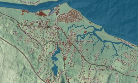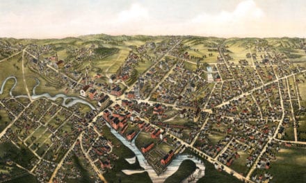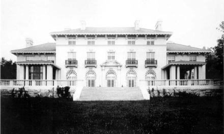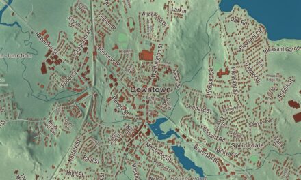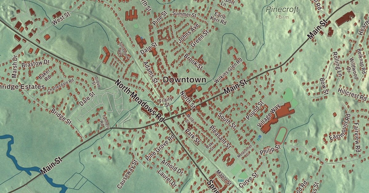
Medfield is a Charles River town of old houses and open land, and the river runs along almost a third of its border. This map prints Main Street, Farm Street, North Meadows Road, High Street, Spring Street, West Street and Hickory Drive, with Rocky Woods Reservation, Noon Hill Reservation, Medfield Rhododendron Reservation and Chickering Lake. Click here to purchase a print of this map for your wall.
Medfield is in Norfolk County.
KNOWOL made this map in 2026 from public survey data and gave it the look of an old atlas. The relief comes from United States Geological Survey elevation data, and the streets and the town line come from the Census Bureau. Medfield covers 14.6 square miles, almost all of it land, about 17 miles southwest of Boston. It’s surrounded by Dover, Norfolk, Walpole, Millis and Sherborn, and the Charles River marks the Millis line. The town had 12,799 people at the 2020 census.
New Dedham
This was Neponset land when the English came. The Neponset leader Chickatabot sold it to William Pynchon in the late 1620s, and fifty years later his grandson, Josias Wampatuck, pressed a land claim against Medfield and the other towns in the old purchase and was paid for it. On October 23, 1649, the General Court gave Dedham land west of the Charles on the condition that a new village be started there within a year. The Town of Medfield’s recorded history dates European settlement to 1649, and the first 13 house lots of New Dedham were laid out on June 19, 1650. Medfield was incorporated as a town in 1651, the 43rd town in Massachusetts, and the land across the river that the colony added later broke away as Medway in 1713. The town remains part of Norfolk County today.
The Reverend Ralph Wheelock is credited with founding Medfield and was the first schoolmaster of its school, started in 1655. Some of the town’s oldest houses still stand. The Dwight-Derby House on Frairy Street, overlooking Meeting House Pond, was built in 1697 by John Dwight, a date fixed by tree-ring dating of its frame in 2007, and the town bought it in 1996. By tradition the first house on the Peak House site burned in King Philip’s War and was rebuilt; the Peak House standing today went up in 1711 as an addition and was moved to its place in 1762. Its steep roof has the highest pitch on record in Massachusetts for a colonial house, and some of its original English window glass survives.
Medfield people
Hannah Adams, born in Medfield in 1755, wrote books on religion and early American history and is believed to have been the first woman in the United States to work as a professional writer. Lowell Mason, born here in 1792, became the music director of First Parish at 17 and went on to compose more than 1,600 hymn tunes, among them his arrangement of “Joy to the World” and the tune for “Nearer, My God, to Thee.” He also set “Mary Had a Little Lamb” to music, and he’s largely credited with bringing music into American public schools. His birthplace was saved from development in 2011 and moved to a town park on Green Street. The painter George Inness made some of his paintings of Medfield in the nineteenth century. The town’s Free Public Library, on Main Street, began in 1873, and each September the town celebrates Medfield Day in Medfield Center.
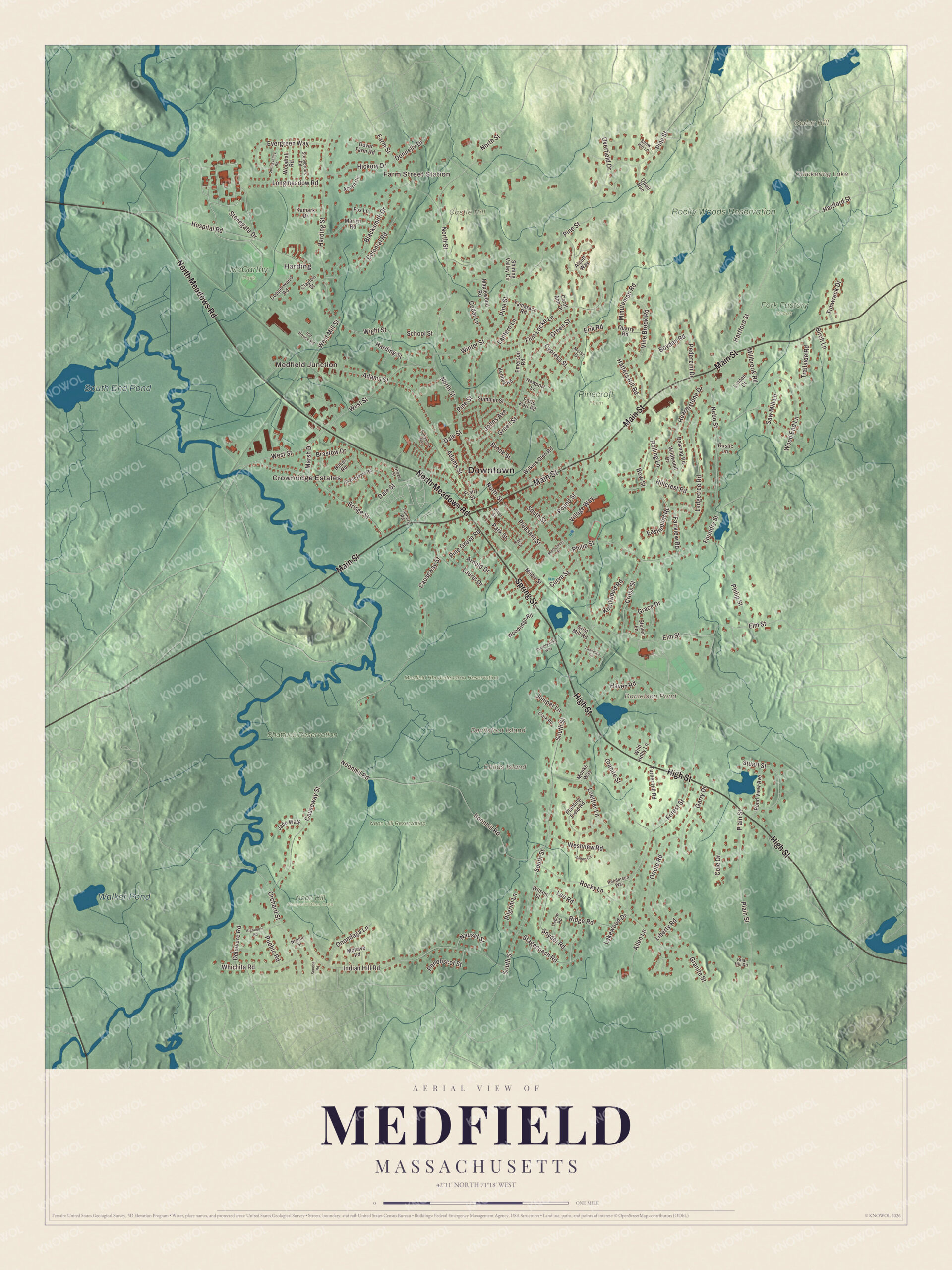
Click to explore a larger preview. The digital watermark does not appear on printed maps.
Names on this map
These names are printed on this map.
Places: Downtown, Farm Street Station, Harding, Medfield Junction, Crownridge Estates, Castle Hill, Cedar Hill, Childs Island, Devilsfoot Island, Chickering Lake, Danielson Pond, South End Pond, Walker Pond, Fork Factory Brook, McCarthy Park, Medfield Rhododendron Reservation, Noon Hill Conservation Area, Noon Hill Reservation, Pinecroft Farm, Rocky Woods Reservation and Shattuck Reservation.
Streets and roads: Main Street, North Meadows Road, High Street, Spring Street, West Street, Hickory Drive, Harding Street, Flint Locke Lane, Orchard Street, South Street, Causeway Street, North Street.
More street names, A to Z
Acorn Circle, Adams Street, Alcott Way, Algonquin Road, Allen Lane, Arnold Drive, Baker Road, Belknap Road, Birch Lane, Blacksmith Drive, Bow Street, Boyden Road, Brastow Drive, Briar Hill Road, Bridge Street, Brook Street, Carol Ann Drive, Cedar Lane, Charlesdale Road, Clark Road, Clayton Street, Cole Drive, Colonial Road, Copperwood Road, Cross Street, Curve Street, Cypress Street, Dale Street, Delaware Road, Donnelly Drive, Dover Farm Road, Earle Kerr Road, Eastmount Road, Elm Street, Emerson Road, Erik Road, Evergreen Way, Fairview Road, Farm Street, Forest Street, Foundry Street, Fox Lane, Frairy Street, Garry Drive, Grace Drive, Granite Street, Green Street, Grist Mill Road, Grove Street, Hartford Street, Hatters Hill Road, Haven Road, Hearthstone Drive, Henderson Way, Hillcrest Road, Hilltop Circle, Hospital Road, Ice House Road, Indian Hill Road, Jade Walk, Johns Avenue, Juniper Lane, Kamark Drive, Kenney Road, Knollwood Road, Lakewood Drive, Lantern Lane, Laurel Drive, Lawrence Circle, Ledgetree Road, Lee Road, Liberty Road, Linden Court, Loeffler Lane, Longmeadow Road, Maple Street, Maplewood Road, Marlyn Road, Marsh Drive, Metacomet Street, Millbrook Road, Miller Street, Minuteman Road, Mohave Road, Monks Way, Morse Drive, Nauset Street, Nebo Street, Newport Lane, Niantic Street, Noonhill Road, Oak Street, Onondaga Lane, Oriole Road, Overfield Drive, Oxbow Road, Park Street, Pederzini Drive, Penobscot Street, Philip Street, Pilgrim Lane, Pine Grove Road, Pine Street, Plain Street, Planting Field Road, Pleasant Street, Pond View Avenue, Pound Street, Preservation Way, Pueblo Road, Quail Run, Quarry Road, Ridge Road, Rocky Lane, Rolling Lane, Rustic Lane, Saw Mill Lane, School Street, Seneca Road, Shining Valley Circle, Snow Hill Lane, Snyder Road, Springvalley Road, Stagecoach Road, Steven Lane, Stonegate Drive, Stonybrook Road, Stuart Street, Summer Street, Tamarack Road, Tannery Road, Trailside Road, Tubwreck Drive, Turner Hill Road, Turtlebrook Way, Village Way, Vine Brook Road, West Mill Street, Westview Road, Whichita Road, Wight Street, Wild Holly Lane, Wildwood Drive, Wilkins Glen Road, Wilson Street, Winter Street, Wood End Lane, Woodfall Road, Woodridge Road.
See it on a wall
The Medfield map as a framed print. Swipe for more.


Around the map
Start with Farm Street Station, then follow Main Street, North Meadows Road, High Street, Spring Street, West Street and Hickory Drive across town. Then look outward toward Harding and Medfield Junction. Chickering Lake, Danielson Pond, South End Pond, Walker Pond, Medfield Rhododendron Reservation, Noon Hill Reservation, Rocky Woods Reservation, Castle Hill, Cedar Hill and Childs Island are all printed on the map, and every one of those names is right there on the artwork. Rocky Woods covers 491 acres of granite hills, ravines and glacial boulders, and Cedar Hill, at 435 feet, looks east from ledges grown with red cedar. Noon Hill rises 370 feet in a 204-acre preserve crossed by the Bay Circuit Trail. The Medfield Rhododendrons, a 196-acre reserve set aside in 1934, holds what its page calls the largest area of Rhododendron maximum in the state, and Childs Island is a small wooded island in its wetlands, north of the Stop River.
The Medfield map makes a fine addition to an office, library or den, and it can help teach children the geography and history of a Charles River town. It’s made for people who call Medfield home, from Harding to Medfield Junction, and it shows the town as it looks today. Zoom in on the preview above to explore the details, then click here to get your copy of the Medfield, Massachusetts map.

Sources
- Medfield, Massachusetts, Wikipedia
- Dwight-Derby House, Wikipedia
- Peak House (Medfield, Massachusetts), Wikipedia
- Hannah Adams, Wikipedia
- Lowell Mason, Wikipedia
- Rocky Woods, Wikipedia
- Noon Hill and Shattuck Reservation, Wikipedia
- Medfield Rhododendrons, Wikipedia
- Childs Island (Massachusetts), Wikipedia
- City and Town Incorporation and Settlement Dates, Secretary of the Commonwealth of Massachusetts (archived copy)